Starr County is located in the U.S. state of Texas. As of the 2020 census, its population was 65,920. Its county seat is Rio Grande City. The county was created in 1848. It is named for James Harper Starr, who served as secretary of the treasury of the Republic of Texas.
Starr County comprises the Rio Grande City micropolitan statistical area, which also includes other small cities, which itself is part of the larger Rio Grande Valley region. It is directly northeast of the Mexican border.
The county population is almost entirely Hispanic or Latino. With 97.7% of its population identifying as such, it is the county with the highest proportion of Hispanics in the continental United States.
| Name: | Starr County |
|---|---|
| FIPS code: | 48-427 |
| State: | Texas |
| Founded: | 1848 |
| Named for: | James Harper Starr |
| Seat: | Rio Grande City |
| Largest city: | Rio Grande City |
| Total Area: | 1,229 sq mi (3,180 km²) |
| Land Area: | 1,223 sq mi (3,170 km²) |
| Total Population: | 65,920 |
| Population Density: | 54/sq mi (21/km²) |
| Time zone: | UTC−6 (Central) |
| Summer Time Zone (DST): | UTC−5 (CDT) |
| Website: | www.co.starr.tx.us |
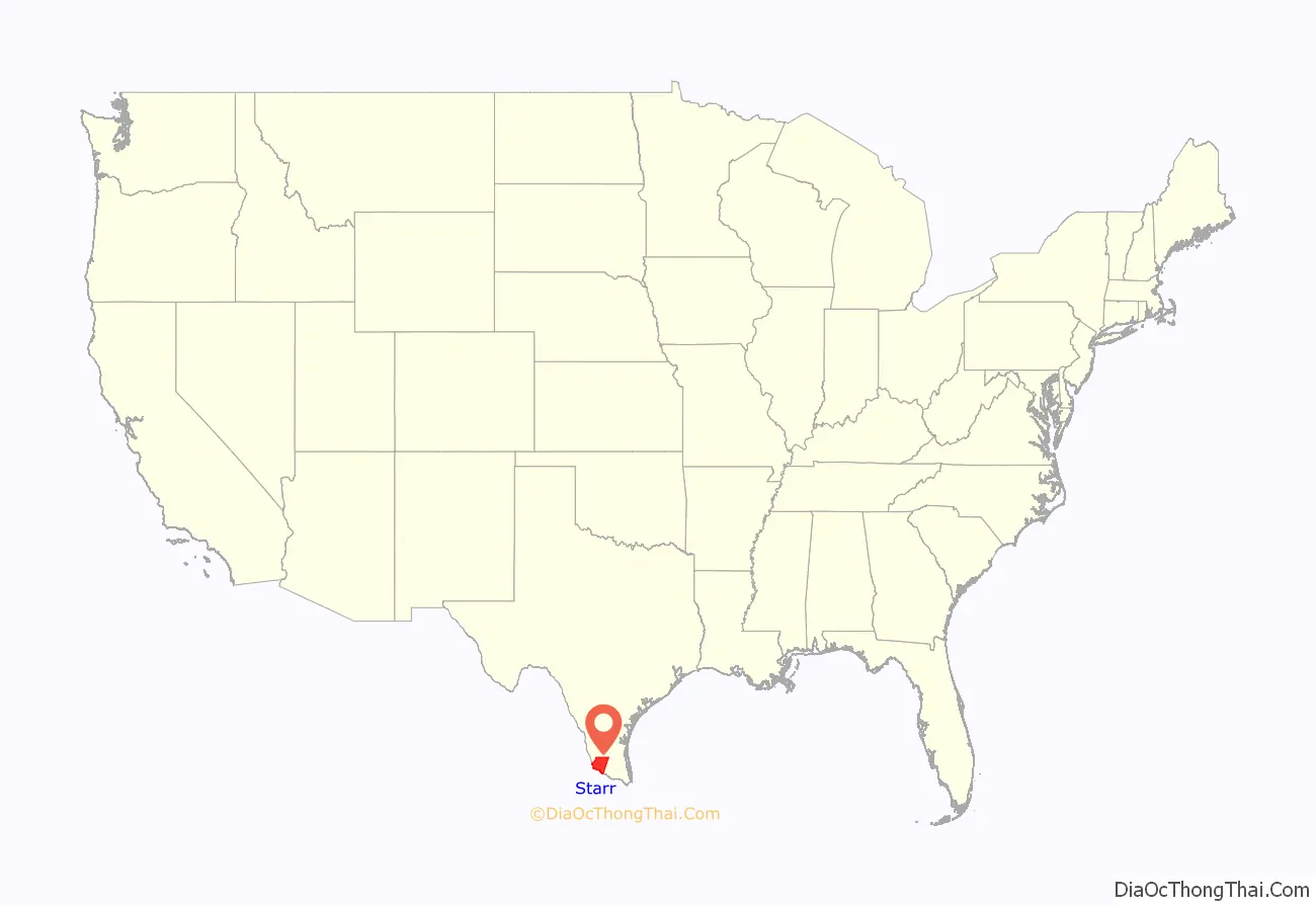
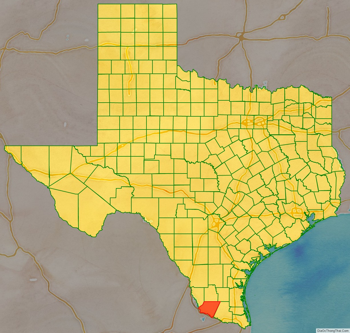
Starr County location map. Where is Starr County?
History
From 2000 to 2010, the population of Starr County increased from 53,597 to 60,968.
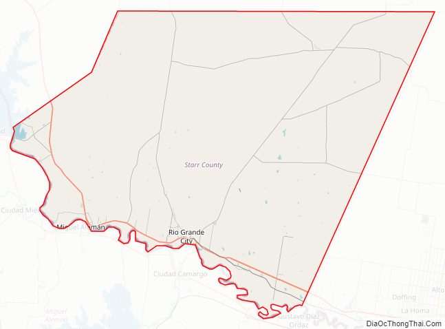
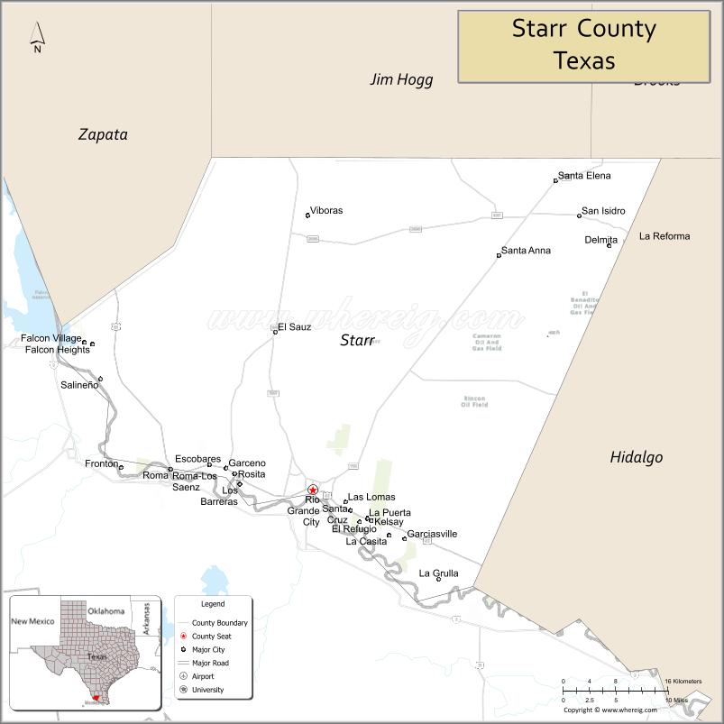
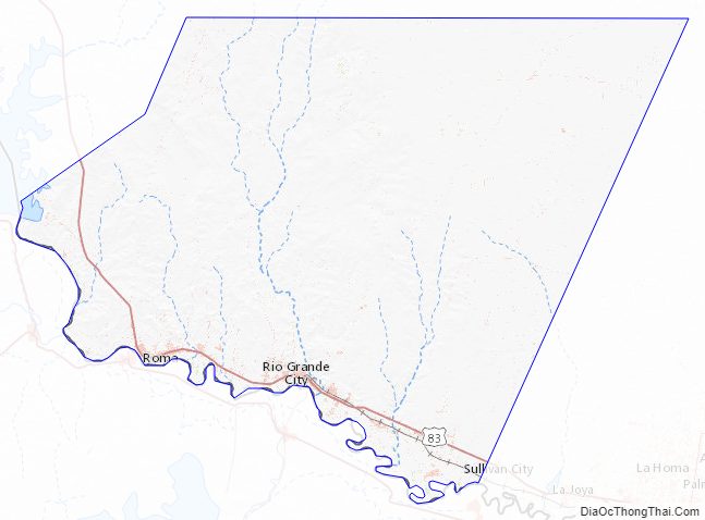
Starr County Road Map
Geography
According to the U.S. Census Bureau, the county has a total area of 1,229 square miles (3,180 km), of which 5.9 square miles (15 km) (0.5%) are covered by water.
Major highways
- U.S. Highway 83
Adjacent counties and municipalities
- Jim Hogg County (north)
- Brooks County (northeast)
- Hidalgo County (east)
- Zapata County (northwest)
- Camargo Municipality, Tamaulipas, Mexico (south)
- Guerrero, Tamaulipas, Mexico (northwest)
- Gustavo Díaz Ordaz, Tamaulipas, Tamaulipas, Mexico (south)
- Mier Municipality, Tamaulipas, Mexico (south)
- Miguel Alemán Municipality, Tamaulipas, Mexico (south)
National protected area
- Lower Rio Grande Valley National Wildlife Refuge (part)
Starr County Topographic Map
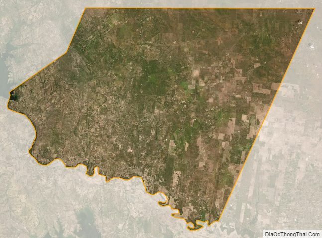
Starr County Satellite Map
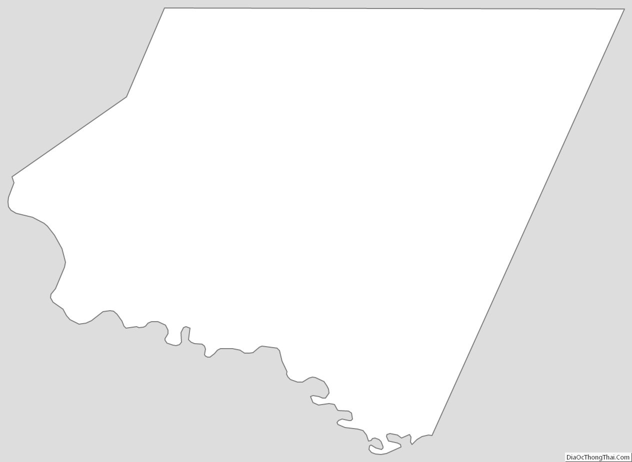
Starr County Outline Map
See also
Map of Texas State and its subdivision:- Anderson
- Andrews
- Angelina
- Aransas
- Archer
- Armstrong
- Atascosa
- Austin
- Bailey
- Bandera
- Bastrop
- Baylor
- Bee
- Bell
- Bexar
- Blanco
- Borden
- Bosque
- Bowie
- Brazoria
- Brazos
- Brewster
- Briscoe
- Brooks
- Brown
- Burleson
- Burnet
- Caldwell
- Calhoun
- Callahan
- Cameron
- Camp
- Carson
- Cass
- Castro
- Chambers
- Cherokee
- Childress
- Clay
- Cochran
- Coke
- Coleman
- Collin
- Collingsworth
- Colorado
- Comal
- Comanche
- Concho
- Cooke
- Coryell
- Cottle
- Crane
- Crockett
- Crosby
- Culberson
- Dallam
- Dallas
- Dawson
- Deaf Smith
- Delta
- Denton
- Dewitt
- Dickens
- Dimmit
- Donley
- Duval
- Eastland
- Ector
- Edwards
- El Paso
- Ellis
- Erath
- Falls
- Fannin
- Fayette
- Fisher
- Floyd
- Foard
- Fort Bend
- Franklin
- Freestone
- Frio
- Gaines
- Galveston
- Garza
- Gillespie
- Glasscock
- Goliad
- Gonzales
- Gray
- Grayson
- Gregg
- Grimes
- Guadalupe
- Hale
- Hall
- Hamilton
- Hansford
- Hardeman
- Hardin
- Harris
- Harrison
- Hartley
- Haskell
- Hays
- Hemphill
- Henderson
- Hidalgo
- Hill
- Hockley
- Hood
- Hopkins
- Houston
- Howard
- Hudspeth
- Hunt
- Hutchinson
- Irion
- Jack
- Jackson
- Jasper
- Jeff Davis
- Jefferson
- Jim Hogg
- Jim Wells
- Johnson
- Jones
- Karnes
- Kaufman
- Kendall
- Kenedy
- Kent
- Kerr
- Kimble
- King
- Kinney
- Kleberg
- Knox
- La Salle
- Lamar
- Lamb
- Lampasas
- Lavaca
- Lee
- Leon
- Liberty
- Limestone
- Lipscomb
- Live Oak
- Llano
- Loving
- Lubbock
- Lynn
- Madison
- Marion
- Martin
- Mason
- Matagorda
- Maverick
- McCulloch
- McLennan
- McMullen
- Medina
- Menard
- Midland
- Milam
- Mills
- Mitchell
- Montague
- Montgomery
- Moore
- Morris
- Motley
- Nacogdoches
- Navarro
- Newton
- Nolan
- Nueces
- Ochiltree
- Oldham
- Orange
- Palo Pinto
- Panola
- Parker
- Parmer
- Pecos
- Polk
- Potter
- Presidio
- Rains
- Randall
- Reagan
- Real
- Red River
- Reeves
- Refugio
- Roberts
- Robertson
- Rockwall
- Runnels
- Rusk
- Sabine
- San Augustine
- San Jacinto
- San Patricio
- San Saba
- Schleicher
- Scurry
- Shackelford
- Shelby
- Sherman
- Smith
- Somervell
- Starr
- Stephens
- Sterling
- Stonewall
- Sutton
- Swisher
- Tarrant
- Taylor
- Terrell
- Terry
- Throckmorton
- Titus
- Tom Green
- Travis
- Trinity
- Tyler
- Upshur
- Upton
- Uvalde
- Val Verde
- Van Zandt
- Victoria
- Walker
- Waller
- Ward
- Washington
- Webb
- Wharton
- Wheeler
- Wichita
- Wilbarger
- Willacy
- Williamson
- Wilson
- Winkler
- Wise
- Wood
- Yoakum
- Young
- Zapata
- Zavala
- Alabama
- Alaska
- Arizona
- Arkansas
- California
- Colorado
- Connecticut
- Delaware
- District of Columbia
- Florida
- Georgia
- Hawaii
- Idaho
- Illinois
- Indiana
- Iowa
- Kansas
- Kentucky
- Louisiana
- Maine
- Maryland
- Massachusetts
- Michigan
- Minnesota
- Mississippi
- Missouri
- Montana
- Nebraska
- Nevada
- New Hampshire
- New Jersey
- New Mexico
- New York
- North Carolina
- North Dakota
- Ohio
- Oklahoma
- Oregon
- Pennsylvania
- Rhode Island
- South Carolina
- South Dakota
- Tennessee
- Texas
- Utah
- Vermont
- Virginia
- Washington
- West Virginia
- Wisconsin
- Wyoming