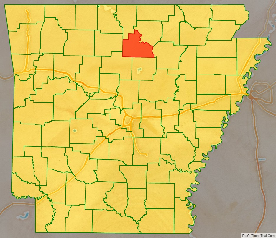
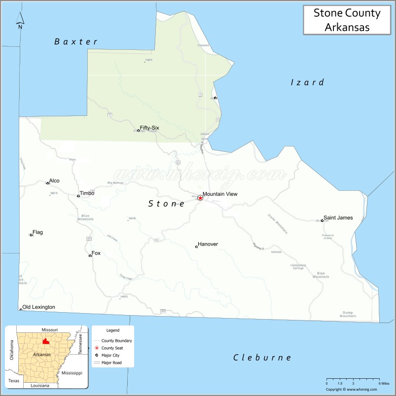
Stone County is located in the Ozark Mountains in the U.S. state of Arkansas. The county is named for rugged, rocky area terrain of the Ozarks. Created as Arkansas’s 74th county on April 21, 1873, Stone County has two incorporated cities: Mountain View, the county seat and most populous city, and Fifty-Six. The county is also the site of numerous unincorporated communities and ghost towns.
Most of the county is sparsely populated forested Ozark hills; including the northern fifth of the county managed by the United States Forest Service as the Ozark National Forest. The remainder of the county is used for poultry, ranching, and timber production. The White River runs along the eastern boundary of Stone County. The county contains six protected areas in addition to the Ozark National Forest: Blanchard Springs Caverns within the Ozark National Forest, two Natural Areas, two Wildlife Management Areas and the Ozark Folk Center, which preserves and interprets Ozark cultural heritage, especially traditional mountain folk music and crafts. Other features such as log cabins, one-room school houses, community centers, and museums, as well as annual cultural events, preserve the history and culture of Stone County.
Stone County occupies 609.43 square miles (1,578.4 km) and contained a population of 12,359 as of the 2020 Census.
| Name: | Stone County |
|---|---|
| FIPS code: | 05-137 |
| State: | Arkansas |
| Founded: | April 21, 1873 |
| Named for: | rock formations in the area |
| Seat: | Mountain View |
| Largest city: | Mountain View |
| Total Area: | 609.43 sq mi (1,578.4 km²) |
| Land Area: | 606.59 sq mi (1,571.1 km²) |
| Total Population: | 12,359 |
| Population Density: | 20/sq mi (7.8/km²) |
| Time zone: | UTC−6 (Central) |
| Summer Time Zone (DST): | UTC−5 (CDT) |
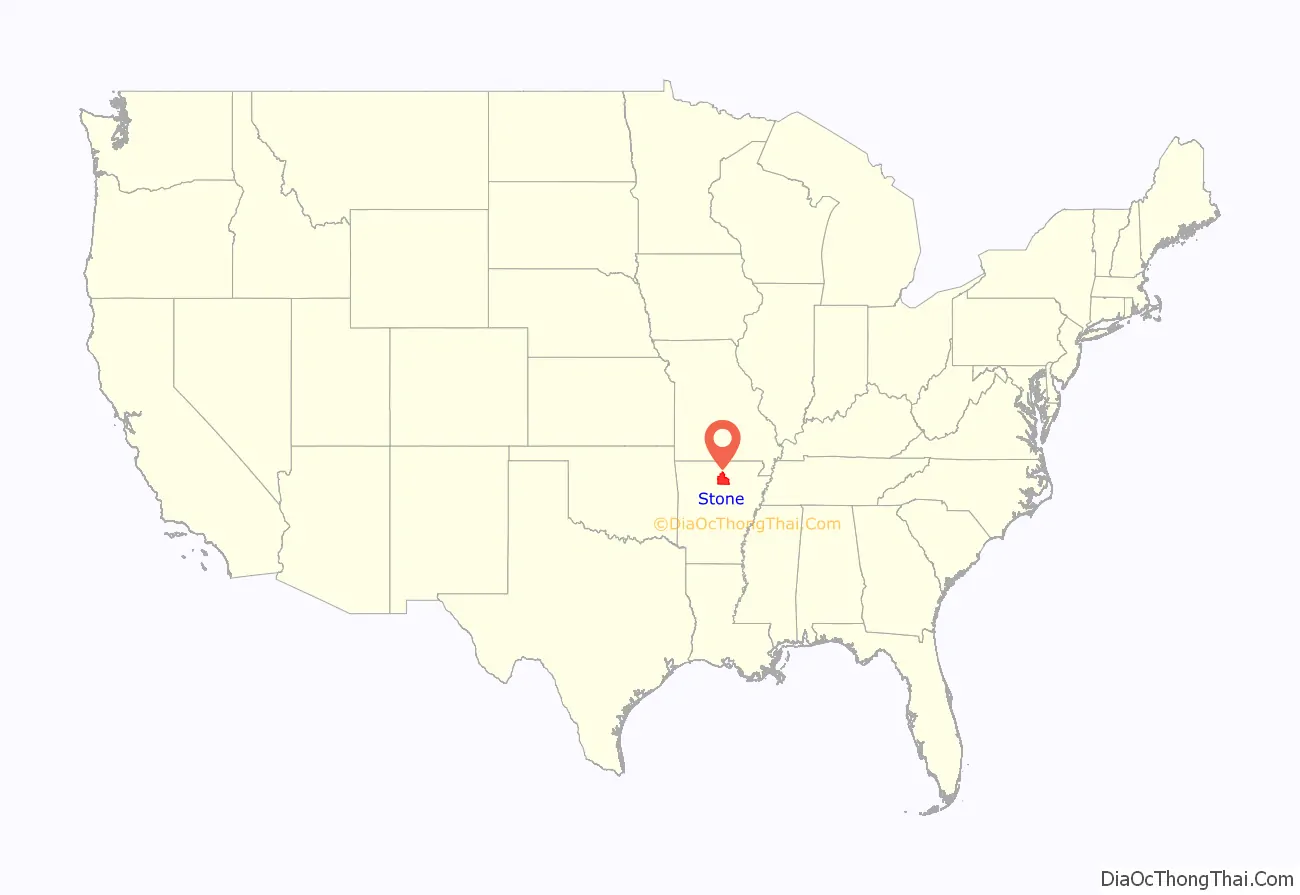
Stone County location map. Where is Stone County?
Stone County Road Map
Geography
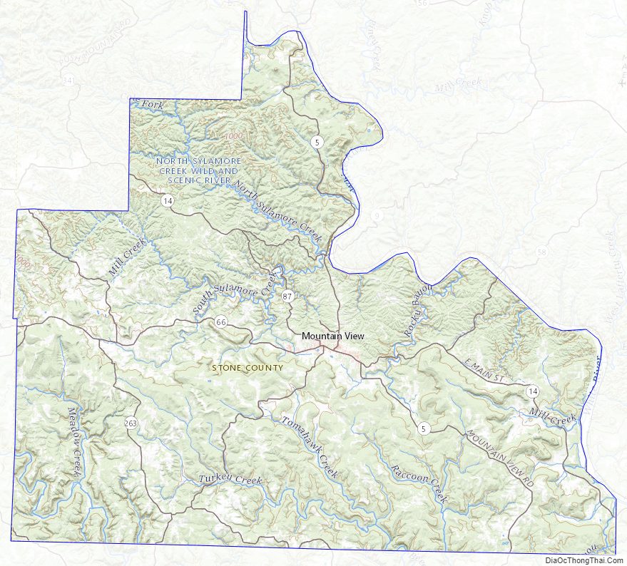
Stone County is located in the Ozark Mountains, one of the six ecoregions of Arkansas. The Ozarks are a mountainous subdivision of the U.S. Interior Highlands, and Stone County contains the Springfield Plateau, Salem Plateau, and the relatively steeper Boston Mountains subsets. The county is roughly split along an east–west line near Mountain View, the centrally located county seat, with areas north within the Springfield Plateau, and areas south within the Boston Mountains. Areas along the White River, which forms the county’s northeastern boundary, are dissected bluffs of the Salem Plateau rather than riparian floodplains. According to the U.S. Census Bureau, the county has a total area of 609.43 square miles (1,578.4 km), of which 606.59 square miles (1,571.1 km) is land and 2.84 square miles (7.4 km) (0.5%) is water.
The county is located approximately 105 miles (169 km) north of Little Rock, 151 miles (243 km) northwest of Memphis, Tennessee, and 278 miles (447 km) southwest of St. Louis, Missouri. Stone County is surrounded by three Ozark counties, Searcy County to the west, Baxter County to the northwest, Izard County to the northeast, and three border counties with the Arkansas River Valley, Van Buren County to the southwest, Cleburne County to the south, and Independence County (which also contains a small piece of the Arkansas Delta) to the east.
Hydrology
National protected area
- Ozark National Forest (part)
Stone County Topographic Map
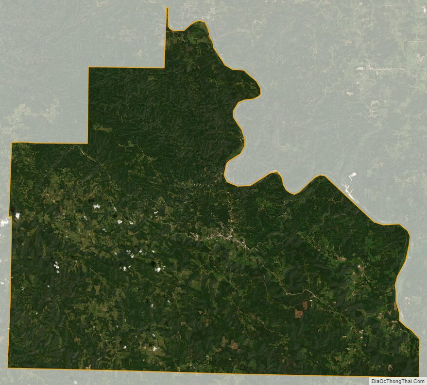
Stone County Satellite Map
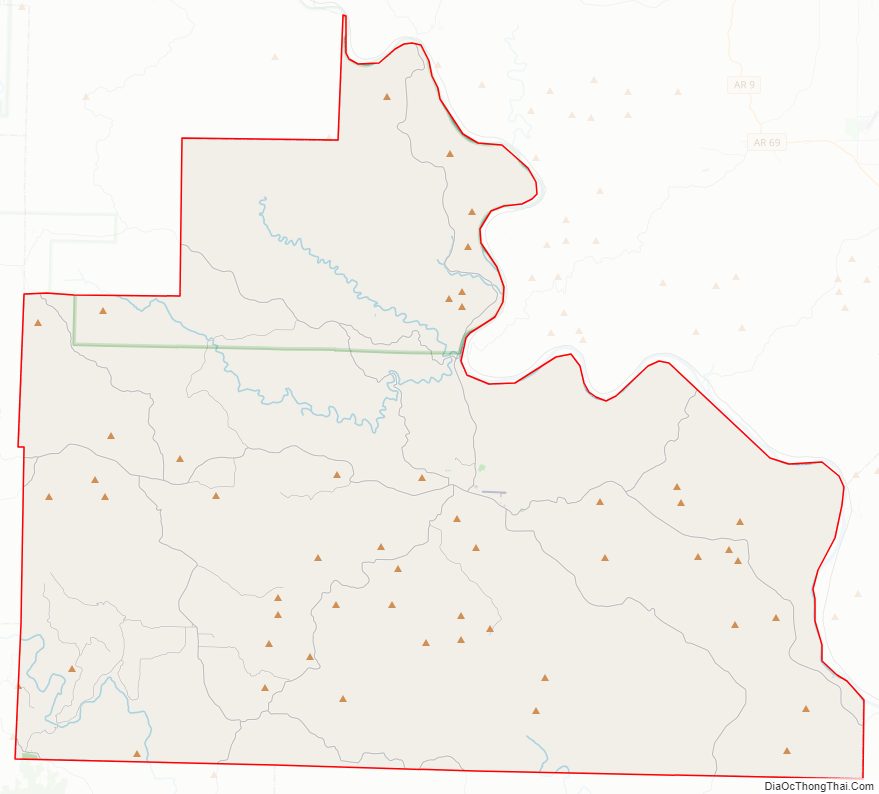
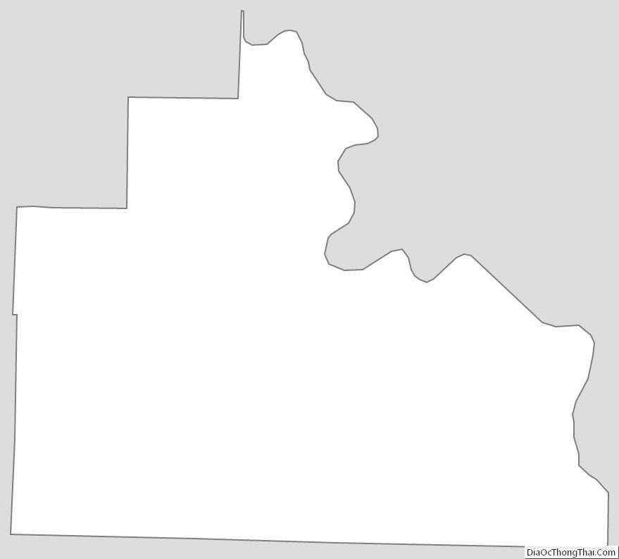
Stone County Outline Map
See also
Map of Arkansas State and its subdivision:- Arkansas
- Ashley
- Baxter
- Benton
- Boone
- Bradley
- Calhoun
- Carroll
- Chicot
- Clark
- Clay
- Cleburne
- Cleveland
- Columbia
- Conway
- Craighead
- Crawford
- Crittenden
- Cross
- Dallas
- Desha
- Drew
- Faulkner
- Franklin
- Fulton
- Garland
- Grant
- Greene
- Hempstead
- Hot Spring
- Howard
- Independence
- Izard
- Jackson
- Jefferson
- Johnson
- Lafayette
- Lawrence
- Lee
- Lincoln
- Little River
- Logan
- Lonoke
- Madison
- Marion
- Miller
- Mississippi
- Monroe
- Montgomery
- Nevada
- Newton
- Ouachita
- Perry
- Phillips
- Pike
- Poinsett
- Polk
- Pope
- Prairie
- Pulaski
- Randolph
- Saint Francis
- Saline
- Scott
- Searcy
- Sebastian
- Sevier
- Sharp
- Stone
- Union
- Van Buren
- Washington
- White
- Woodruff
- Yell
- Alabama
- Alaska
- Arizona
- Arkansas
- California
- Colorado
- Connecticut
- Delaware
- District of Columbia
- Florida
- Georgia
- Hawaii
- Idaho
- Illinois
- Indiana
- Iowa
- Kansas
- Kentucky
- Louisiana
- Maine
- Maryland
- Massachusetts
- Michigan
- Minnesota
- Mississippi
- Missouri
- Montana
- Nebraska
- Nevada
- New Hampshire
- New Jersey
- New Mexico
- New York
- North Carolina
- North Dakota
- Ohio
- Oklahoma
- Oregon
- Pennsylvania
- Rhode Island
- South Carolina
- South Dakota
- Tennessee
- Texas
- Utah
- Vermont
- Virginia
- Washington
- West Virginia
- Wisconsin
- Wyoming