Storey County is a county located in the U.S. state of Nevada. As of the 2020 census, the population was 4,104, making it the third-least populous county, but one of the fastest-growing economies in Nevada. In 2018, over 18,000 people were employed in the county. Its area is 264 square miles (680 square kilometers), making it the smallest county in Nevada in terms of area. Its county seat is Virginia City. Storey County is part of the Reno-Sparks metropolitan area.
| Name: | Storey County |
|---|---|
| FIPS code: | 32-029 |
| State: | Nevada |
| Founded: | 1861 |
| Named for: | Edward Farris Storey |
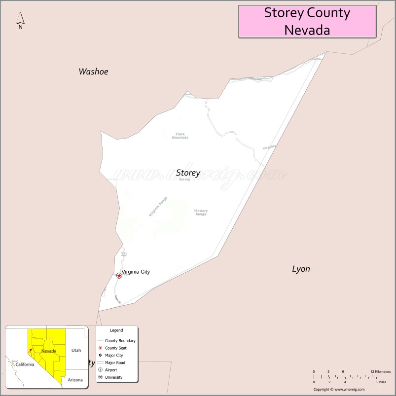
| Seat: | Virginia City |
| Total Area: | 264 sq mi (680 km²) |
| Land Area: | 263 sq mi (680 km²) |
| Total Population: | 4,104 |
| Population Density: | 16/sq mi (6.0/km²) |
| Time zone: | UTC−8 (Pacific) |
| Summer Time Zone (DST): | UTC−7 (PDT) |
| Website: | storeycounty.org |
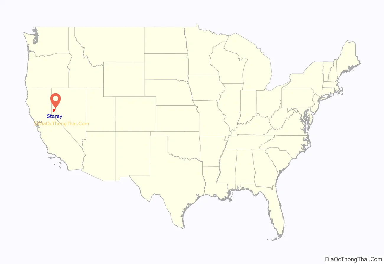
Storey County location map. Where is Storey County?
History
Storey County was created in 1861 and named for Captain Edward Farris Storey, who was killed in 1860 in the Pyramid Lake War. It was the most populous county in Nevada when organized in 1861. Virginia City is the county seat. It was originally to be named McClellan County after General George B. McClellan, who later ran unsuccessfully against Abraham Lincoln for president in the 1864 election. Storey County benefited from the discovery of Comstock Lode silver.
W. Frank Stewart was a silver-mining operator who served from 1876 to 1880 as a state senator for Storey County.
The county population collapsed after the Comstock Lode was fully mined and hit a minimum of 568 in the 1960 census. Since then, its population has partially recovered because of its relative proximity to Reno.
On September 3, 1999, Kevin Baugh declared his backyard to be independent from the US, creating the Republic of Molossia.
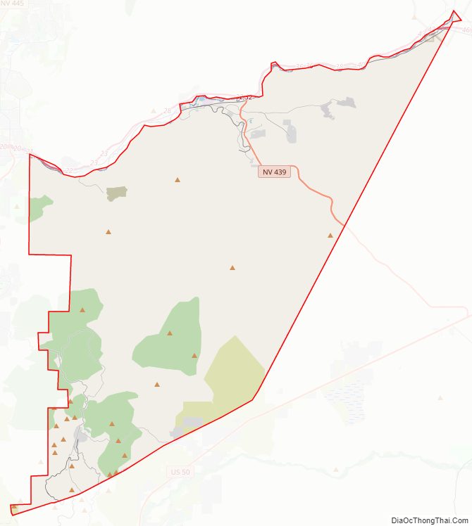
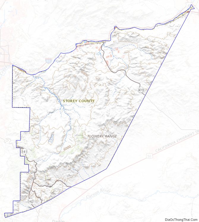
Storey County Road Map
Geography
According to the U.S. Census Bureau, the county has a total area of 264 square miles (680 km), of which 263 square miles (680 km) are land and 0.7 sq mi (1.8 km) (0.3%) is covered by water.
Major highways
- Interstate 80
- State Route 341
- State Route 342
- State Route 439
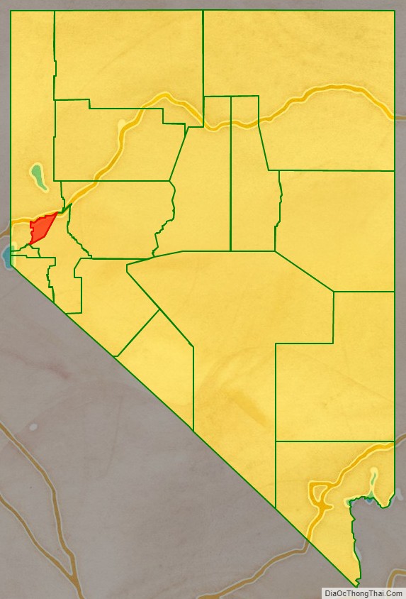
Adjacent counties and city
- Washoe County – north
- Lyon County – southeast
- Carson City – southwest
Storey County Topographic Map
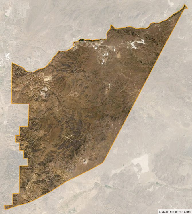
Storey County Satellite Map
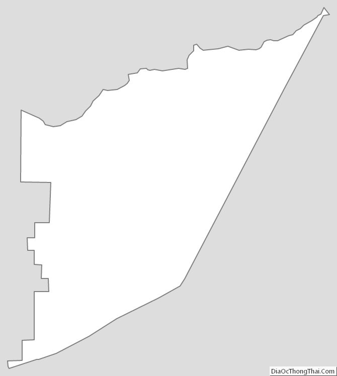
Storey County Outline Map
See also
Map of Nevada State and its subdivision: Map of other states:- Alabama
- Alaska
- Arizona
- Arkansas
- California
- Colorado
- Connecticut
- Delaware
- District of Columbia
- Florida
- Georgia
- Hawaii
- Idaho
- Illinois
- Indiana
- Iowa
- Kansas
- Kentucky
- Louisiana
- Maine
- Maryland
- Massachusetts
- Michigan
- Minnesota
- Mississippi
- Missouri
- Montana
- Nebraska
- Nevada
- New Hampshire
- New Jersey
- New Mexico
- New York
- North Carolina
- North Dakota
- Ohio
- Oklahoma
- Oregon
- Pennsylvania
- Rhode Island
- South Carolina
- South Dakota
- Tennessee
- Texas
- Utah
- Vermont
- Virginia
- Washington
- West Virginia
- Wisconsin
- Wyoming