| Name: | Union County |
|---|---|
| FIPS code: | 34-039 |
| State: | New Jersey |
| Founded: | 1857 |
| Named for: | Union threatened by slavery dispute |
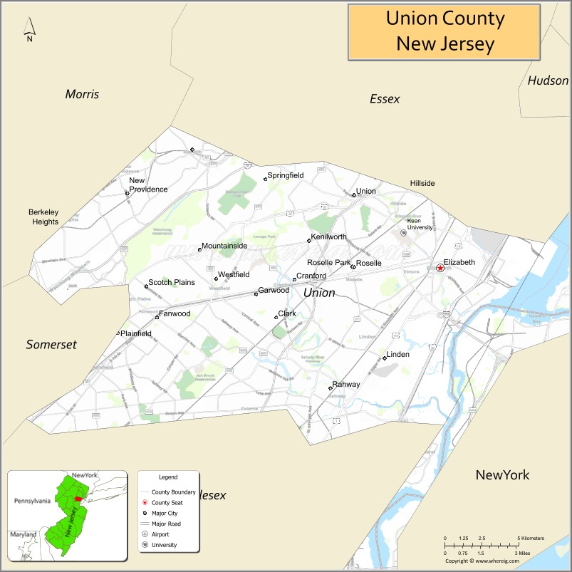
| Seat: | Elizabeth |
| Largest city: | Elizabeth (population and area) |
| Total Area: | 105.40 sq mi (273.0 km²) |
| Land Area: | 102.86 sq mi (266.4 km²) |
| Total Population: | 575,345 |
| Population Density: | 5,593.5/sq mi (2,159.7/km²) |
| Website: | www.ucnj.org |
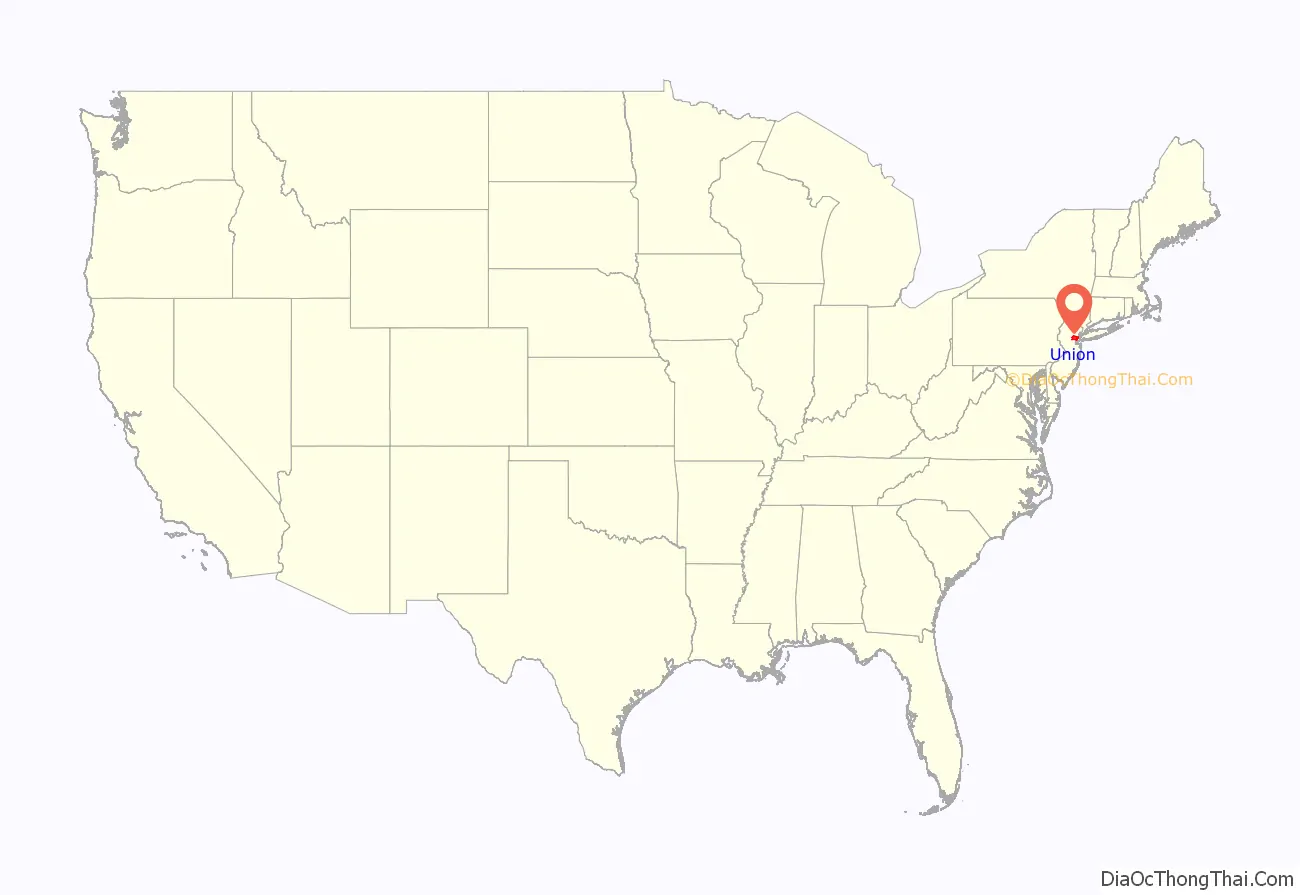
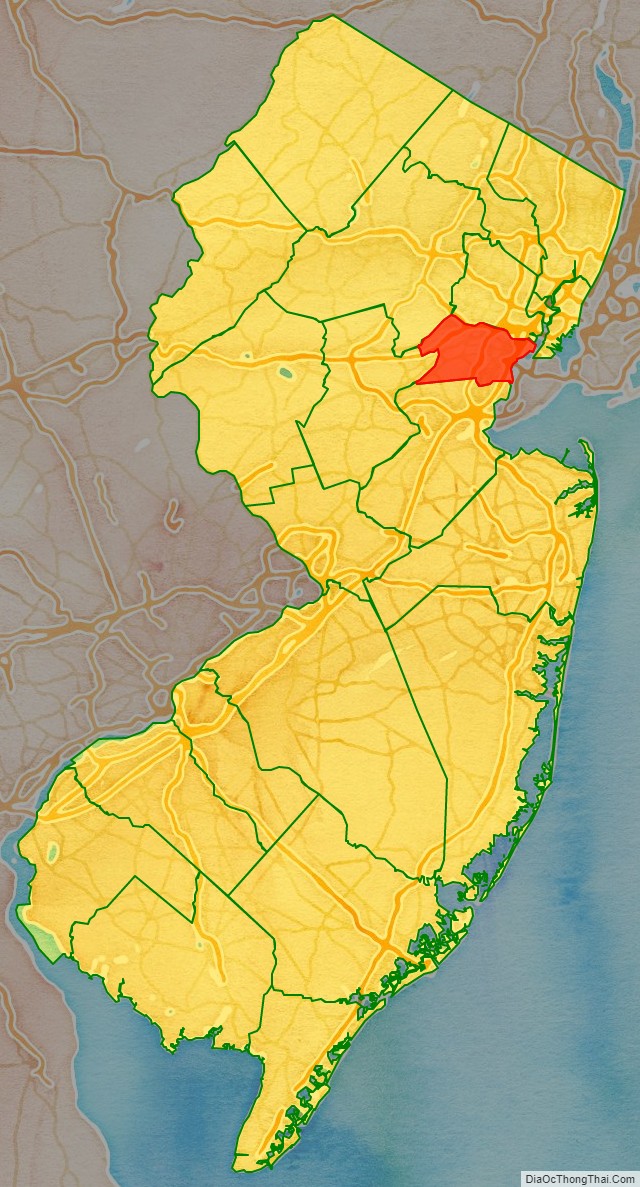
Union County location map. Where is Union County?
History
Etymology
Established in 1857 as the last county created in New Jersey, it was named after the Union threatened by slavery dispute during this period, which would erupt into civil war in 1861.
History
All of present-day Union County was part of the Elizabethtown Tract, which was purchased in 1664, by English colonists from the Lenape Native Americans that lived in the area of present-day Elizabeth, New Jersey. Union County was formed on March 19, 1857, from portions of Essex County; it was the last of New Jersey’s 21 counties to be established.
Many historic places and structures are to be found in the county, including on the National Register of Historic Places listings in Union County, New Jersey.
Every fall, Union County holds its annual “Four Centuries in a Weekend” festival for the public, celebrating and touring historic buildings, museums and sites in the county.
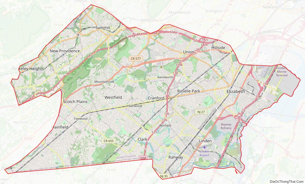
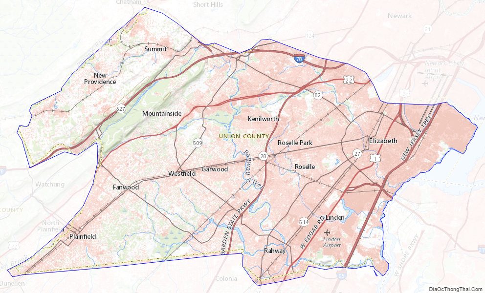
Union County Road Map
Geography
According to the 2010 Census, the county had a total area of 105.40 square miles (273.0 km), including 102.86 square miles (266.4 km) of land (97.6%) and 2.55 square miles (6.6 km) of water (2.4%).
Much of Union County is relatively flat and low-lying. Only in the northwestern corner does any significant relief appear as the Watchung Mountains cross the county. It is there that highest elevations, two areas approximately 560 feet (170 m) above sea level, are found in Berkeley Heights. The lowest elevation is sea level along the eastern shore at the Arthur Kill.
Rivers, lakes and streams
- Arthur Kill
- Rahway River
- Elizabeth River
- Nomahegan Brook
- Marshes Creek
- Morses Creek
- Peach Orchard Brook
- Robinson’s Brook
- Robinson’s Branch Reservoir
Climate and weather
In recent years, average temperatures in the county seat of Elizabeth have ranged from a low of 24 °F (−4 °C) in January to a high of 86 °F (30 °C) in July, although a record low of −14 °F (−26 °C) was recorded in February 1934 and a record high of 105 °F (41 °C) was recorded in July 1993. Average monthly precipitation ranged from 2.99 inches (76 mm) in February to 4.76 inches (121 mm) in July. In Berkeley Heights average monthly temperatures range from 29.4 °F in January to 74.7 °F in July. The climate in the county is hot-summer humid continental (Dfa) except east of approximately the New Jersey Turnpike where a humid subtropical climate (Cfa) exists.
Union County Topographic Map
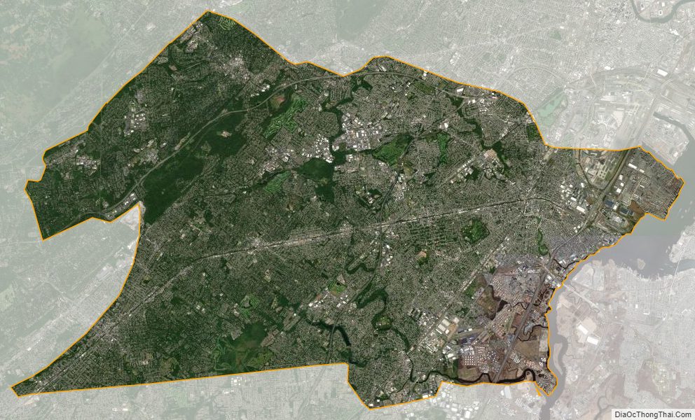
Union County Satellite Map
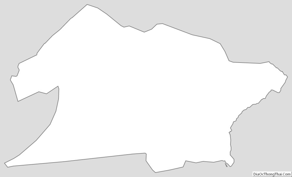
Union County Outline Map
See also
Map of New Jersey State and its subdivision: Map of other states:- Alabama
- Alaska
- Arizona
- Arkansas
- California
- Colorado
- Connecticut
- Delaware
- District of Columbia
- Florida
- Georgia
- Hawaii
- Idaho
- Illinois
- Indiana
- Iowa
- Kansas
- Kentucky
- Louisiana
- Maine
- Maryland
- Massachusetts
- Michigan
- Minnesota
- Mississippi
- Missouri
- Montana
- Nebraska
- Nevada
- New Hampshire
- New Jersey
- New Mexico
- New York
- North Carolina
- North Dakota
- Ohio
- Oklahoma
- Oregon
- Pennsylvania
- Rhode Island
- South Carolina
- South Dakota
- Tennessee
- Texas
- Utah
- Vermont
- Virginia
- Washington
- West Virginia
- Wisconsin
- Wyoming