Union County is a county in the Commonwealth of Pennsylvania. As of the 2020 census, the population was 42,681. Its county seat is Lewisburg. The county was created on March 22, 1813, from part of Northumberland County. Its name is an allusion to the federal Union. Mifflinburg was established by legislation as the first county seat until it was moved to New Berlin in 1815. Lewisburg became county seat in 1855 and has remained so since. Union County comprises the Lewisburg, PA Micropolitan Statistical Area, which is also included in the Bloomsburg–Berwick–Sunbury, PA Combined Statistical Area.
| Name: | Union County |
|---|---|
| FIPS code: | 42-119 |
| State: | Pennsylvania |
| Founded: | March 22, 1813 |
| Seat: | Lewisburg |
| Total Area: | 318 sq mi (820 km²) |
| Land Area: | 316 sq mi (820 km²) |
| Total Population: | 42,681 |
| Population Density: | 142/sq mi (55/km²) |
| Time zone: | UTC−5 (Eastern) |
| Summer Time Zone (DST): | UTC−4 (EDT) |
| Website: | www.unionco.org |
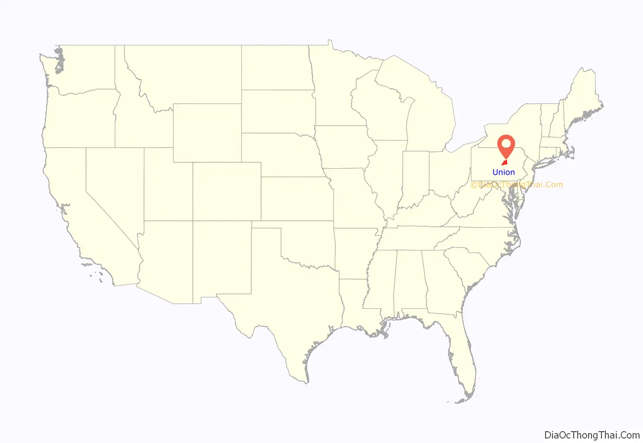
Union County location map. Where is Union County?
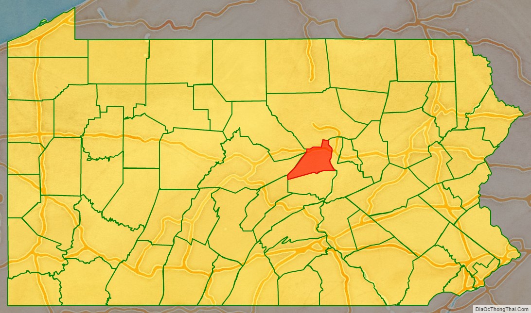
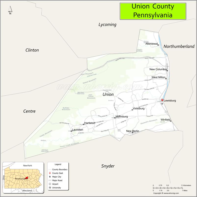
Union County Road Map
Geography
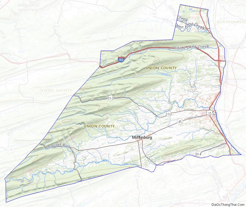
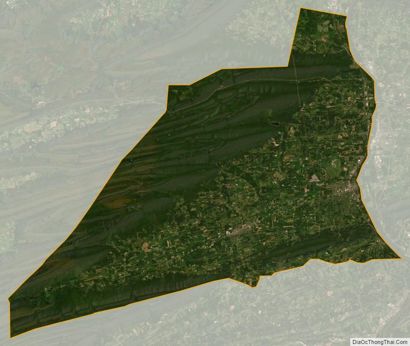
According to the U.S. Census Bureau, the county has a total area of 318 square miles (820 km), of which 316 square miles (820 km) is land and 1.8 square miles (4.7 km) (0.6%) is water. It is the fourth-smallest county in Pennsylvania by area. Union has a humid continental climate (Dfa/Dfb) and average temperatures in Lewisburg range from 27.2 °F in January to 72.7 °F in July, while in Hartleton they range from 26.4 °F in January to 72.1 °F in July. [1]
Adjacent counties
- Lycoming County (north)
- Northumberland County (east)
- Snyder County (south)
- Mifflin County (southwest)
- Centre County (west)
- Clinton County (northwest)
State protected areas
- R. B. Winter State Park
- Sand Bridge State Park
- Shikellamy State Park’s overlook is in Union County. The marina is across the Susquehanna River in Northumberland County.
Major highways
- I-80
- US 15
- PA 44
- PA 45
- PA 104
- PA 192
- PA 235
- PA 304
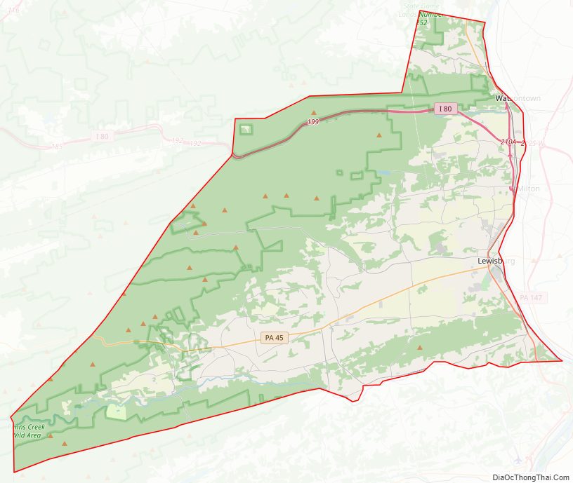
Union County Topographic Map
Union County Satellite Map
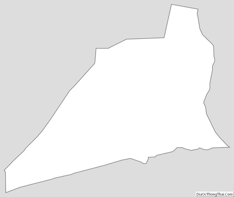
Union County Outline Map
See also
Map of Pennsylvania State and its subdivision:- Adams
- Allegheny
- Armstrong
- Beaver
- Bedford
- Berks
- Blair
- Bradford
- Bucks
- Butler
- Cambria
- Cameron
- Carbon
- Centre
- Chester
- Clarion
- Clearfield
- Clinton
- Columbia
- Crawford
- Cumberland
- Dauphin
- Delaware
- Elk
- Erie
- Fayette
- Forest
- Franklin
- Fulton
- Greene
- Huntingdon
- Indiana
- Jefferson
- Juniata
- Lackawanna
- Lancaster
- Lawrence
- Lebanon
- Lehigh
- Luzerne
- Lycoming
- Mc Kean
- Mercer
- Mifflin
- Monroe
- Montgomery
- Montour
- Northampton
- Northumberland
- Perry
- Philadelphia
- Pike
- Potter
- Schuylkill
- Snyder
- Somerset
- Sullivan
- Susquehanna
- Tioga
- Union
- Venango
- Warren
- Washington
- Wayne
- Westmoreland
- Wyoming
- York
- Alabama
- Alaska
- Arizona
- Arkansas
- California
- Colorado
- Connecticut
- Delaware
- District of Columbia
- Florida
- Georgia
- Hawaii
- Idaho
- Illinois
- Indiana
- Iowa
- Kansas
- Kentucky
- Louisiana
- Maine
- Maryland
- Massachusetts
- Michigan
- Minnesota
- Mississippi
- Missouri
- Montana
- Nebraska
- Nevada
- New Hampshire
- New Jersey
- New Mexico
- New York
- North Carolina
- North Dakota
- Ohio
- Oklahoma
- Oregon
- Pennsylvania
- Rhode Island
- South Carolina
- South Dakota
- Tennessee
- Texas
- Utah
- Vermont
- Virginia
- Washington
- West Virginia
- Wisconsin
- Wyoming