Valley County is a county in the U.S. state of Nebraska. As of the 2010 United States Census, the population was 4,260. Its county seat is Ord.
In the Nebraska license plate system, Valley County is represented by the prefix 47 (it had the 47th-largest number of vehicles registered in the county when the license plate system was established in 1922).
| Name: | Valley County |
|---|---|
| FIPS code: | 31-175 |
| State: | Nebraska |
| Founded: | 1871 |
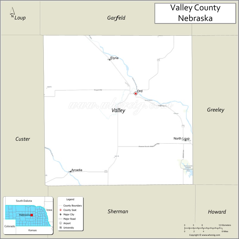
| Seat: | Ord |
| Largest city: | Ord |
| Total Area: | 570 sq mi (1,500 km²) |
| Land Area: | 568 sq mi (1,470 km²) |
| Total Population: | 4,066 |
| Population Density: | 7.4/sq mi (2.9/km²) |
| Time zone: | UTC−6 (Central) |
| Summer Time Zone (DST): | UTC−5 (CDT) |
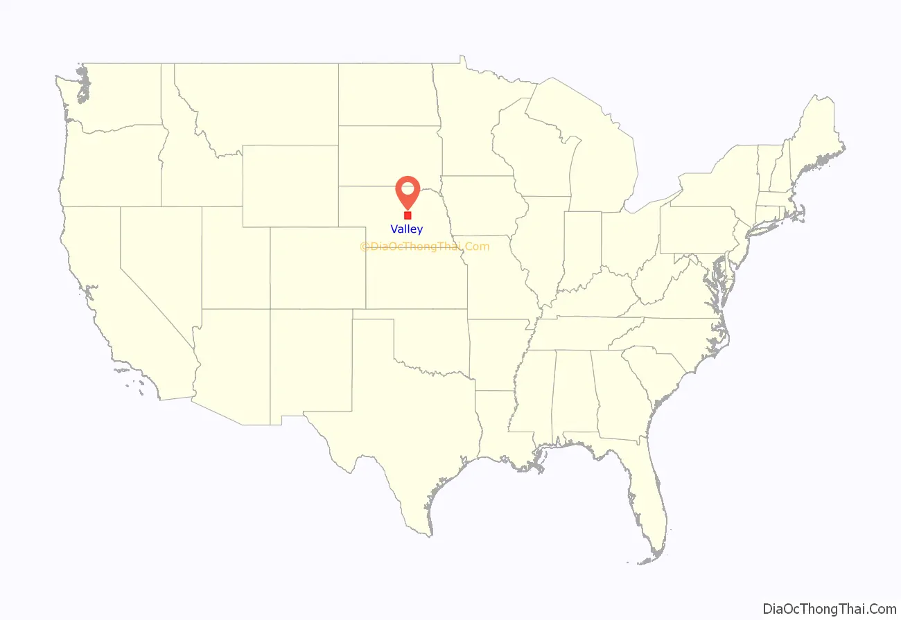
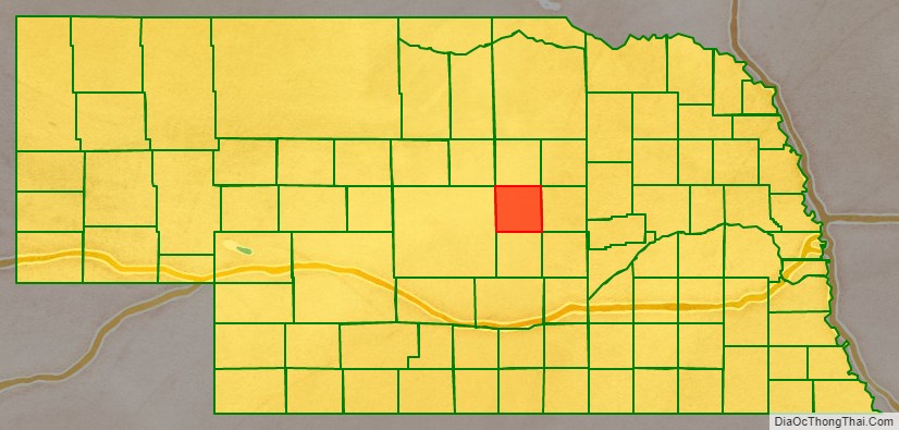
Valley County location map. Where is Valley County?
History
Valley County was formed in 1871 and organized in 1873. Its name derives from the local terrain: much of the county consists of valley land lying between the North and Middle Loup Rivers.
On June 12, 2010, the privately owned Bredthauer Dam broke due to heavy rain, flooding rural Valley County and the village of North Loup. Major flooding occurred in the village, with water “eight inches deep and running down Main Street.” North Loup was evacuated for the flood’s duration.
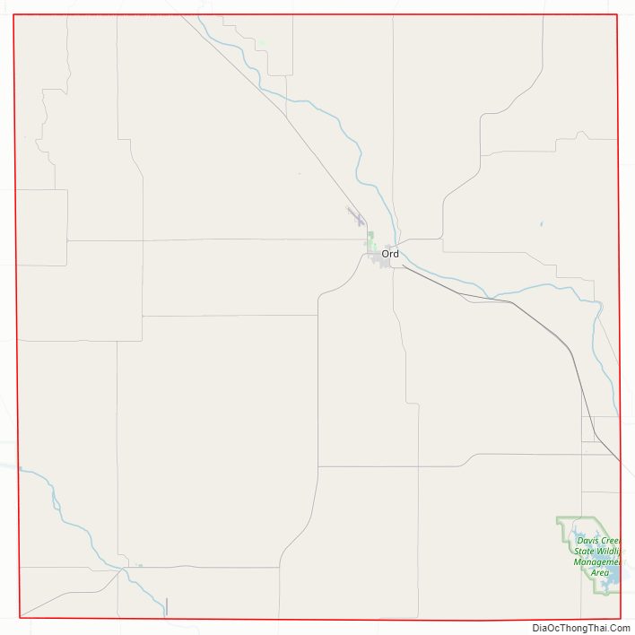
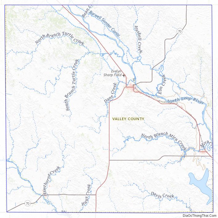
Valley County Road Map
Geography
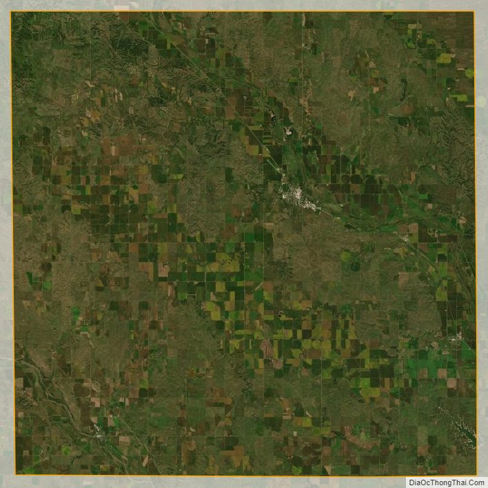
The North Loup River flows southeastward through the upper portion of the county, while the Middle Loup River runs southeastward through the lower portion. The terrain consists of rolling hills. The flat river valleys are largely dedicated to agriculture, with some center pivot irrigation employed. The county has an area of 570 square miles (1,500 km), of which 568 square miles (1,470 km) is land and 2.4 square miles (6.2 km) (0.4%) is water.
Major highways
- Nebraska Highway 11
- Nebraska Highway 22
- Nebraska Highway 58
- Nebraska Highway 70
Protected area
- Fort Hartsuff State Historical Park
- Scotia Canal State Wildlife Management Area
Adjacent counties
- Wheeler County – northeast
- Greeley County – east
- Sherman County – south
- Custer County – west
- Garfield County – north
Valley County Topographic Map
Valley County Satellite Map
Valley County Outline Map

See also
Map of Nebraska State and its subdivision:- Adams
- Antelope
- Arthur
- Banner
- Blaine
- Boone
- Box Butte
- Boyd
- Brown
- Buffalo
- Burt
- Butler
- Cass
- Cedar
- Chase
- Cherry
- Cheyenne
- Clay
- Colfax
- Cuming
- Custer
- Dakota
- Dawes
- Dawson
- Deuel
- Dixon
- Dodge
- Douglas
- Dundy
- Fillmore
- Franklin
- Frontier
- Furnas
- Gage
- Garden
- Garfield
- Gosper
- Grant
- Greeley
- Hall
- Hamilton
- Harlan
- Hayes
- Hitchcock
- Holt
- Hooker
- Howard
- Jefferson
- Johnson
- Kearney
- Keith
- Keya Paha
- Kimball
- Knox
- Lancaster
- Lincoln
- Logan
- Loup
- Madison
- McPherson
- Merrick
- Morrill
- Nance
- Nemaha
- Nuckolls
- Otoe
- Pawnee
- Perkins
- Phelps
- Pierce
- Platte
- Polk
- Red Willow
- Richardson
- Rock
- Saline
- Sarpy
- Saunders
- Scotts Bluff
- Seward
- Sheridan
- Sherman
- Sioux
- Stanton
- Thayer
- Thomas
- Thurston
- Valley
- Washington
- Wayne
- Webster
- Wheeler
- York
- Alabama
- Alaska
- Arizona
- Arkansas
- California
- Colorado
- Connecticut
- Delaware
- District of Columbia
- Florida
- Georgia
- Hawaii
- Idaho
- Illinois
- Indiana
- Iowa
- Kansas
- Kentucky
- Louisiana
- Maine
- Maryland
- Massachusetts
- Michigan
- Minnesota
- Mississippi
- Missouri
- Montana
- Nebraska
- Nevada
- New Hampshire
- New Jersey
- New Mexico
- New York
- North Carolina
- North Dakota
- Ohio
- Oklahoma
- Oregon
- Pennsylvania
- Rhode Island
- South Carolina
- South Dakota
- Tennessee
- Texas
- Utah
- Vermont
- Virginia
- Washington
- West Virginia
- Wisconsin
- Wyoming