Kusilvak Census Area, formerly known as Wade Hampton Census Area, is a census area located in the U.S. state of Alaska. As of the 2020 census, the population was 8,368, up from 7,459 in 2010. It is part of the Unorganized Borough and therefore has no borough seat. Its largest community is the city of Hooper Bay, on the Bering Sea coast.
The census area’s per capita income makes it the fourth-poorest county-equivalent in the United States. In 2014, it had the highest percentage of unemployed people of any county or census area in the United States, at 23.7 percent.
| Name: | Kusilvak Census Area |
|---|---|
| FIPS code: | 02-158 |
| State: | Alaska |
| Named for: | Kusilvak Mountains |
| Largest city: | Hooper Bay |
| Total Area: | 19,673 sq mi (50,950 km²) |
| Land Area: | 17,081 sq mi (44,240 km²) |
| Total Population: | 8,368 |
| Population Density: | 0.44/sq mi (0.17/km²) |
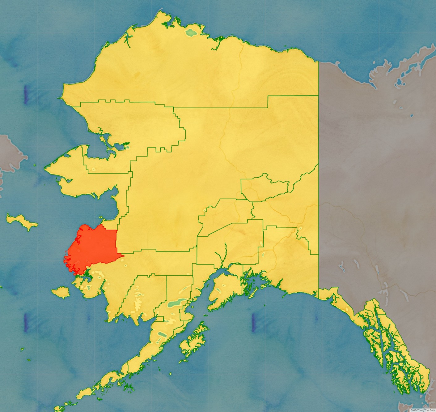
Kusilvak Census Area location map. Where is Kusilvak Census Area?
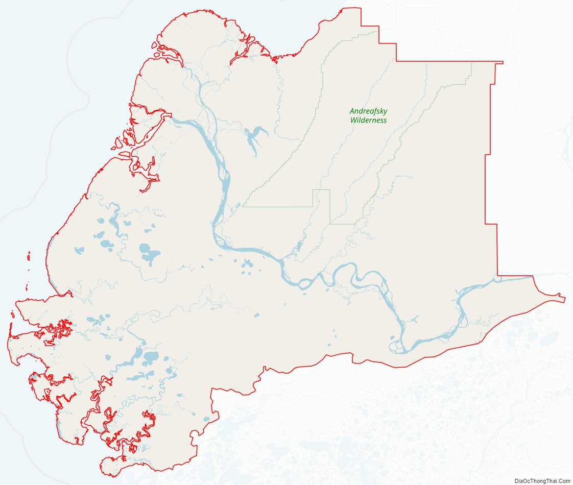
Kusilvak Census Area Road Map
Geography
According to the U.S. Census Bureau, the census area has a total area of 19,673 square miles (50,950 km), of which 17,081 square miles (44,240 km) is land and 2,592 square miles (6,710 km) (13.2%) is water.
Adjacent boroughs and census areas
- Nome Census Area, Alaska – north
- Yukon–Koyukuk Census Area, Alaska – east
- Bethel Census Area, Alaska – south
National protected area
- Yukon Delta National Wildlife Refuge (part)
- Andreafsky Wilderness (part)
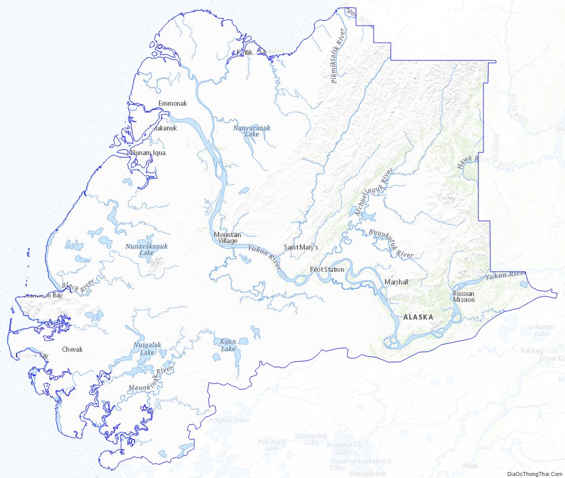
Kusilvak Census Area Topographic Map
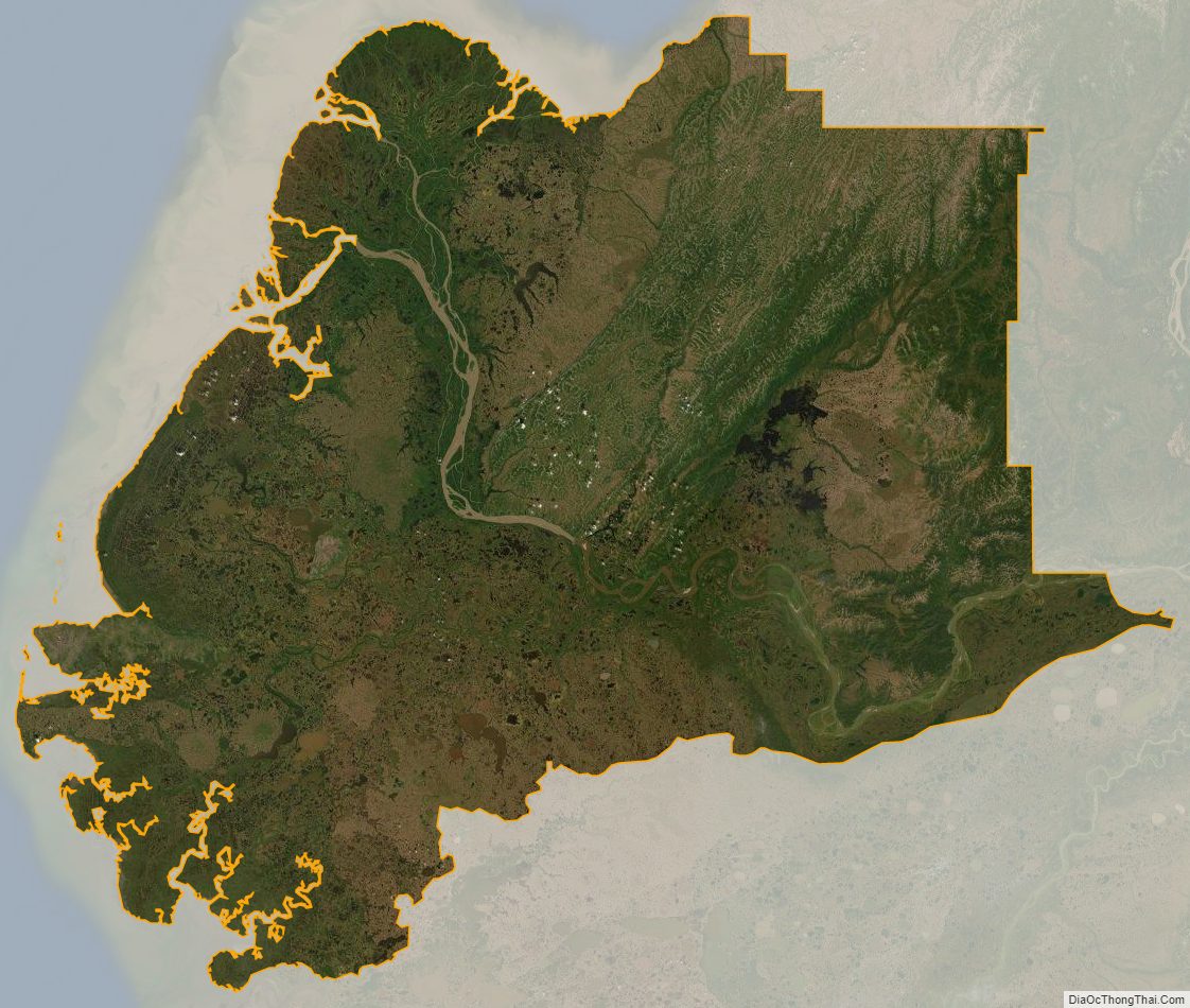
Kusilvak Census Area Satellite Map
Kusilvak Census Area Outline Map
See also
Map of Alaska State and its subdivision:- Aleutians East
- Aleutians West
- Anchorage
- Bethel
- Bristol Bay
- Denali
- Dillingham
- Fairbanks North Star
- Haines
- Juneau
- Kenai Peninsula
- Ketchikan Gateway
- Kodiak Island
- Lake and Peninsula
- Matanuska-Susitna
- Nome
- North Slope
- Northwest Arctic
- Prince of Wales-Outer Ketchi
- Sitka
- Skagway-Yakutat-Angoon
- Southeast Fairbanks
- Valdez-Cordova
- Wade Hampton
- Wrangell-Petersburg
- Yukon-Koyukuk
- Alabama
- Alaska
- Arizona
- Arkansas
- California
- Colorado
- Connecticut
- Delaware
- District of Columbia
- Florida
- Georgia
- Hawaii
- Idaho
- Illinois
- Indiana
- Iowa
- Kansas
- Kentucky
- Louisiana
- Maine
- Maryland
- Massachusetts
- Michigan
- Minnesota
- Mississippi
- Missouri
- Montana
- Nebraska
- Nevada
- New Hampshire
- New Jersey
- New Mexico
- New York
- North Carolina
- North Dakota
- Ohio
- Oklahoma
- Oregon
- Pennsylvania
- Rhode Island
- South Carolina
- South Dakota
- Tennessee
- Texas
- Utah
- Vermont
- Virginia
- Washington
- West Virginia
- Wisconsin
- Wyoming