Ward County is a county in the U.S. state of North Dakota. As of the 2020 census, the population was 69,919, making it the fourth-most populous county in North Dakota. Its county seat is Minot. Ward County is part of the Minot, ND Micropolitan Statistical Area.
| Name: | Ward County |
|---|---|
| FIPS code: | 38-101 |
| State: | North Dakota |
| Founded: | 1888 |
| Named for: | Mark Ward |
| Seat: | Minot |
| Largest city: | Minot |
| Total Area: | 2,056 sq mi (5,330 km²) |
| Land Area: | 2,013 sq mi (5,210 km²) |
| Total Population: | 69,919 |
| Population Density: | 34/sq mi (13/km²) |
| Time zone: | UTC−6 (Central) |
| Summer Time Zone (DST): | UTC−5 (CDT) |
| Website: | www.co.ward.nd.us |
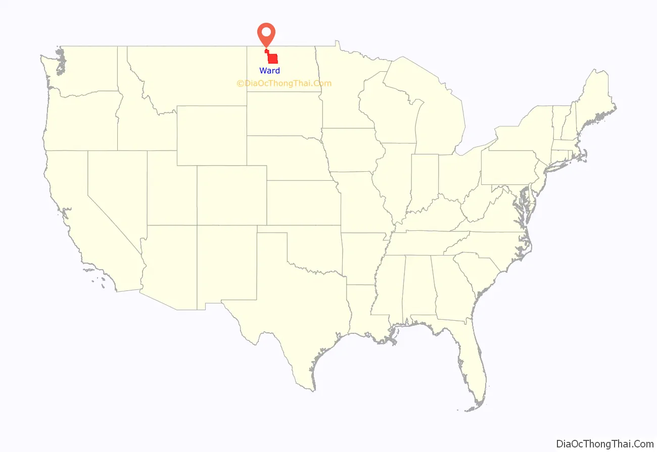
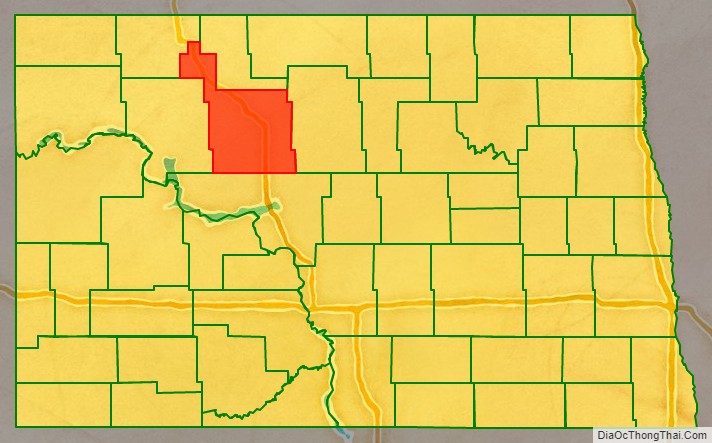
Ward County location map. Where is Ward County?
History
The Dakota Territory legislature created the county on April 14, 1885, with areas partitioned from Renville, Stevens, and Wynn counties (Stevens and Wynn counties are now extinct). The county government was not organized at that date; the organization was effected on November 23 of that year. The county was named for Mark Ward, chairman of the House of Representatives Committee on Counties during the session. Burlington was the county seat; this was changed to Minot in 1888.
The boundaries of Ward County were altered two times in 1887, and in 1892, 1909 and 1910. The present county boundaries have been in place since 1910.
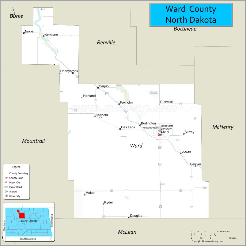
Until 1908, Ward County included what is now Burke, Mountrail, and Renville counties; this landmass often being referred to as ‘Imperial Ward’ County and which was the largest county in the state at the time. In 1908, voters took up measures to partition the county. The results for that portion forming Mountrail County were accepted but the results for the portions that would become Burke and Renville counties were disputed in court, which resulted in favorable rulings in 1910. When the proposed county lines for Burke and Renville counties were drawn, neither group wanted to include Kenmare and risk that city’s becoming the county seat, so Kenmare was left in Ward County at the end of a narrow strip of land, commonly referred to as the ‘gooseneck’. One of the options reportedly considered around this time was to create a fifth county, Lake, with Kenmare as its seat.
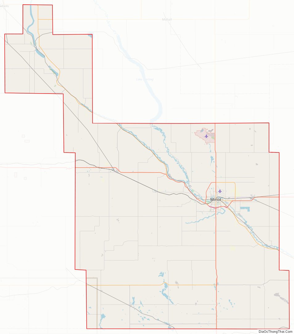
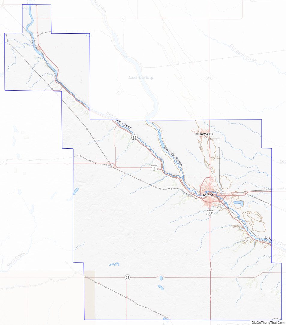
Ward County Road Map
Geography
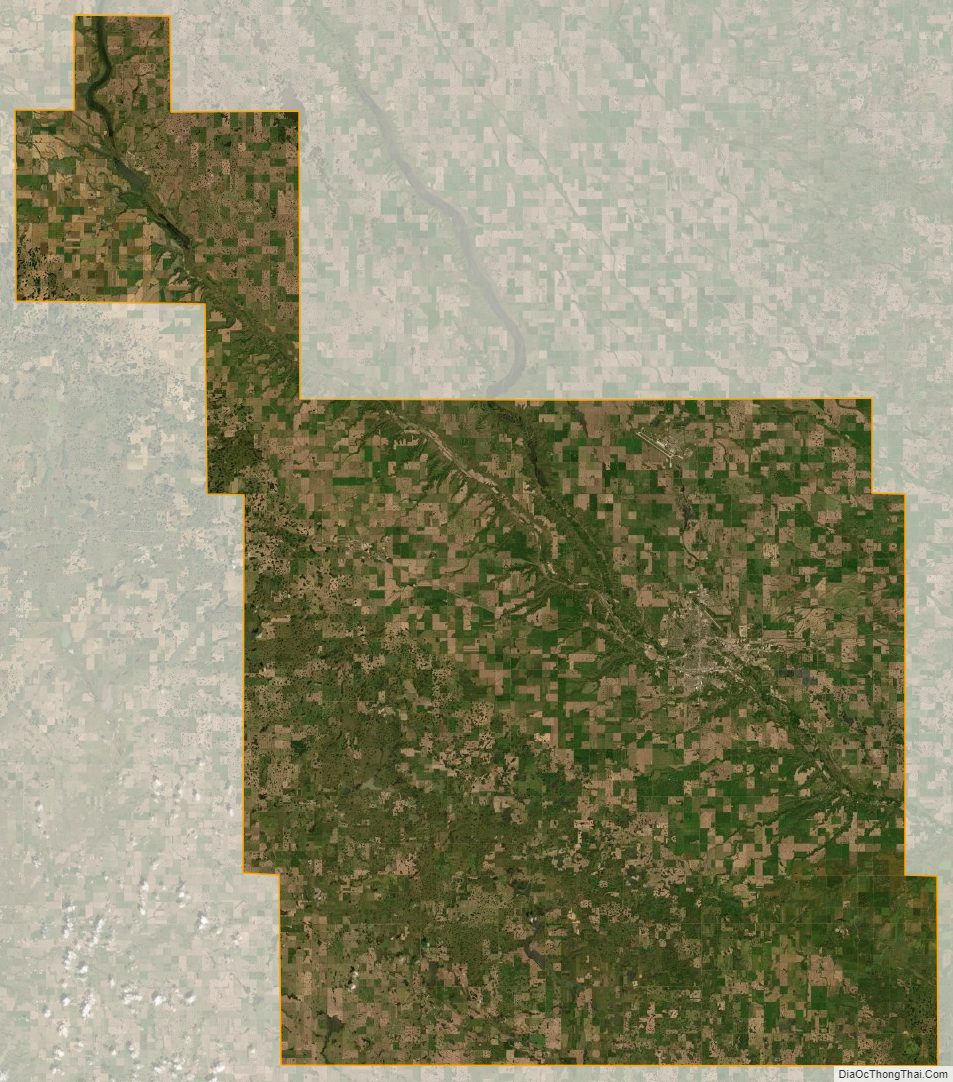
The Des Lacs River flows southeasterly through the northeast part of the county before doubling to the northeast on its journey to Lake Winnipeg. The county terrain consists of low rolling hills, dotted with ponds and lakes in its southern part, and carved by drainage gullies. The area is largely devoted to agriculture. The terrain slopes to the east and north, with its highest point near the southwest corner, at 2,175′ (663m) ASL. The county has a total area of 2,056 square miles (5,330 km), of which 2,013 square miles (5,210 km) is land and 43 square miles (110 km) (2.1%) is water. It is the fifth-largest county in North Dakota by land area.
Major highways
- U.S. Highway 2
- U.S. Highway 52
- U.S. Highway 83
- North Dakota Highway 5
- North Dakota Highway 23
- North Dakota Highway 28
- North Dakota Highway 50
Adjacent counties
- Renville County – north
- McHenry County – east
- McLean County – south
- Mountrail County – west
- Burke County – northwest
Protected areas
- Des Lacs National Wildlife Refuge (part)
- Hiddenwood National Wildlife Refuge (part)
- National Wildfowl Production Areas
- Upper Souris National Wildlife Refuge (part)
Lakes
- Carpenter Lake
- Douglas Lake (part)
- Hiddenwood Lake (part)
- Makoti Lake
- Rice Lake
- Rush Lake
Ward County Topographic Map
Ward County Satellite Map
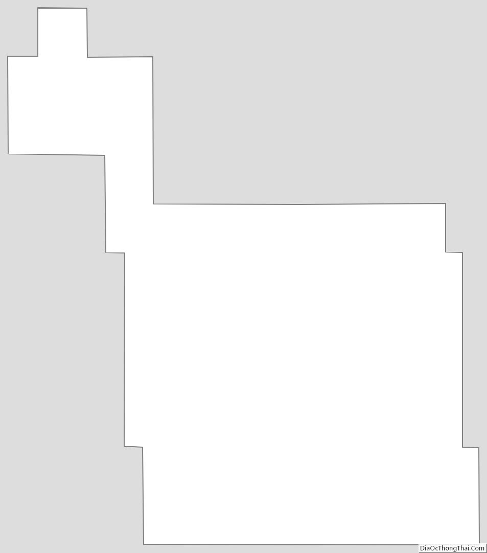
Ward County Outline Map
See also
Map of North Dakota State and its subdivision:- Adams
- Barnes
- Benson
- Billings
- Bottineau
- Bowman
- Burke
- Burleigh
- Cass
- Cavalier
- Dickey
- Divide
- Dunn
- Eddy
- Emmons
- Foster
- Golden Valley
- Grand Forks
- Grant
- Griggs
- Hettinger
- Kidder
- Lamoure
- Logan
- McHenry
- McIntosh
- McKenzie
- McLean
- Mercer
- Morton
- Mountrail
- Nelson
- Oliver
- Pembina
- Pierce
- Ramsey
- Ransom
- Renville
- Richland
- Rolette
- Sargent
- Sheridan
- Sioux
- Slope
- Stark
- Steele
- Stutsman
- Towner
- Traill
- Walsh
- Ward
- Wells
- Williams
- Alabama
- Alaska
- Arizona
- Arkansas
- California
- Colorado
- Connecticut
- Delaware
- District of Columbia
- Florida
- Georgia
- Hawaii
- Idaho
- Illinois
- Indiana
- Iowa
- Kansas
- Kentucky
- Louisiana
- Maine
- Maryland
- Massachusetts
- Michigan
- Minnesota
- Mississippi
- Missouri
- Montana
- Nebraska
- Nevada
- New Hampshire
- New Jersey
- New Mexico
- New York
- North Carolina
- North Dakota
- Ohio
- Oklahoma
- Oregon
- Pennsylvania
- Rhode Island
- South Carolina
- South Dakota
- Tennessee
- Texas
- Utah
- Vermont
- Virginia
- Washington
- West Virginia
- Wisconsin
- Wyoming