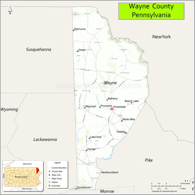
Wayne is a county in the Commonwealth of Pennsylvania. It is part of Northeastern Pennsylvania. The county’s population was 51,155 at the 2020 census. The county seat is the Borough of Honesdale. The county was formed from part of Northampton County on March 21, 1798, and was named for the Revolutionary War General Anthony Wayne.
The Lehigh River, a 109-mile-long (175 km) tributary of the Delaware River, rises in southern Wayne County.
| Name: | Wayne County |
|---|---|
| FIPS code: | 42-127 |
| State: | Pennsylvania |
| Founded: | March 21, 1798 |
| Named for: | Anthony Wayne |
| Seat: | Honesdale |
| Total Area: | 751 sq mi (1,950 km²) |
| Land Area: | 726 sq mi (1,880 km²) |
| Total Population: | 51,155 |
| Population Density: | 70/sq mi (30/km²) |
| Time zone: | UTC−5 (Eastern) |
| Summer Time Zone (DST): | UTC−4 (EDT) |
| Website: | waynecountypa.gov |
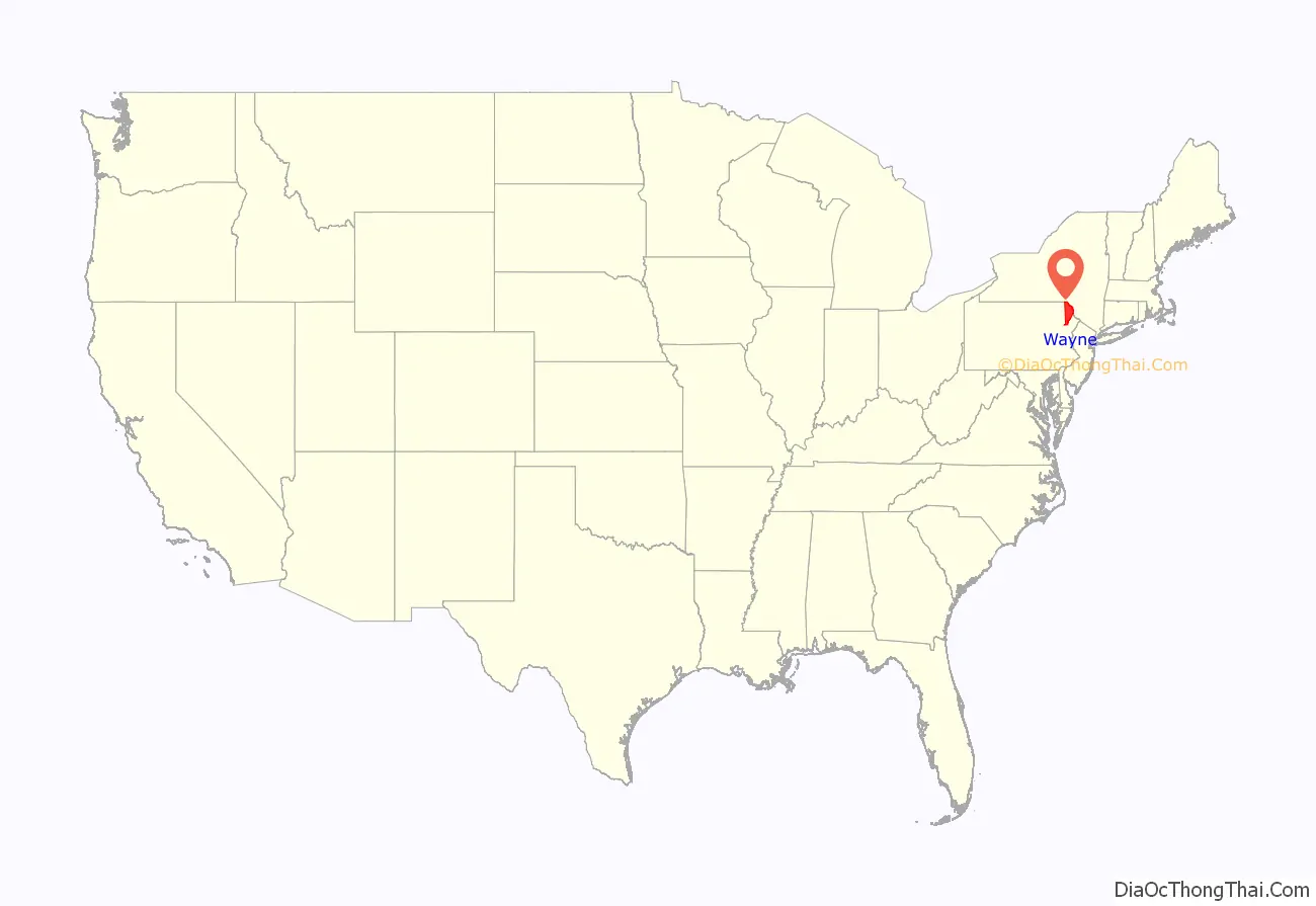
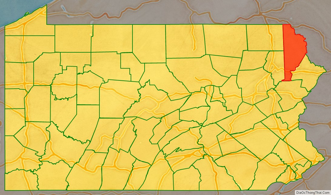
Wayne County location map. Where is Wayne County?
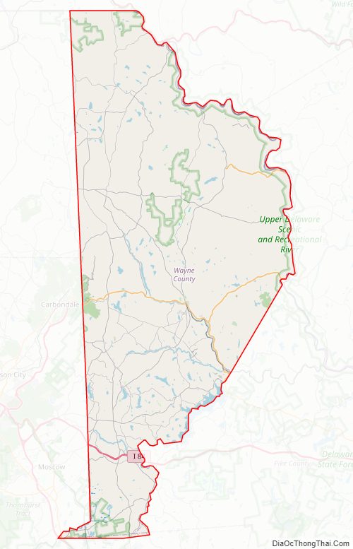
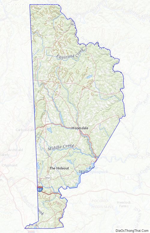
Wayne County Road Map
Geography
According to the U.S. Census Bureau, Wayne County has a total area of 751 square miles (1,950 km), of which 726 square miles (1,880 km) is land and 25 square miles (65 km) (3.3%) is water.
The terrain of the county is varied. In the wider northern half, the land is rugged along its border with New York State, while the southern portion tends to be swampier. Higher hills and mountains are predominantly found along the county’s western edge, while lower ones are more common in the east, near the Delaware River. The middle section of Wayne County is a wide plain.
The highest elevation in the county, 2,659 ft (810 m), is the summit of Mount Ararat in Orson. Two other summits at the north end of the same ridge also exceed 2,640 ft (800 m) in elevation. The county’s lowest point, at approximately 680 ft (210 m) above sea level, is along the Delaware, near Wayne County’s border with Pike County, Pennsylvania.
Most of Wayne County is drained by the Delaware (which separates Pennsylvania from New York), with the exception of a few small areas in the western part of the county, which are drained by either the Starrucca Creek or the Lackawanna River (which both eventually flow into the Susquehanna River).
The county has a warm-summer humid continental climate (Dfb) and average monthly temperatures in Honesdale range from 22.8 °F in January to 67.9 °F in July. [1]
Adjacent counties
- Broome County, New York (north)
- Sullivan County, New York (east)
- Delaware County, New York (northeast)
- Pike County (southeast)
- Monroe County (south)
- Lackawanna County (southwest)
- Susquehanna County (west)
Major highways
- I-84
- I-380
- US 6
- PA 170
- PA 191
- PA 196
- PA 247
- PA 296
- PA 348
- PA 370
- PA 371
- PA 423
- PA 435
- PA 447
- PA 507
- PA 590
- PA 670
- PA 690
Wayne County Topographic Map
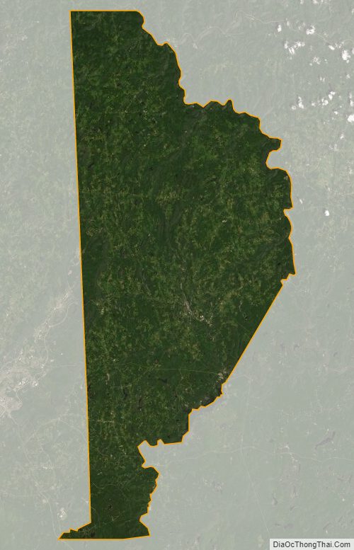
Wayne County Satellite Map
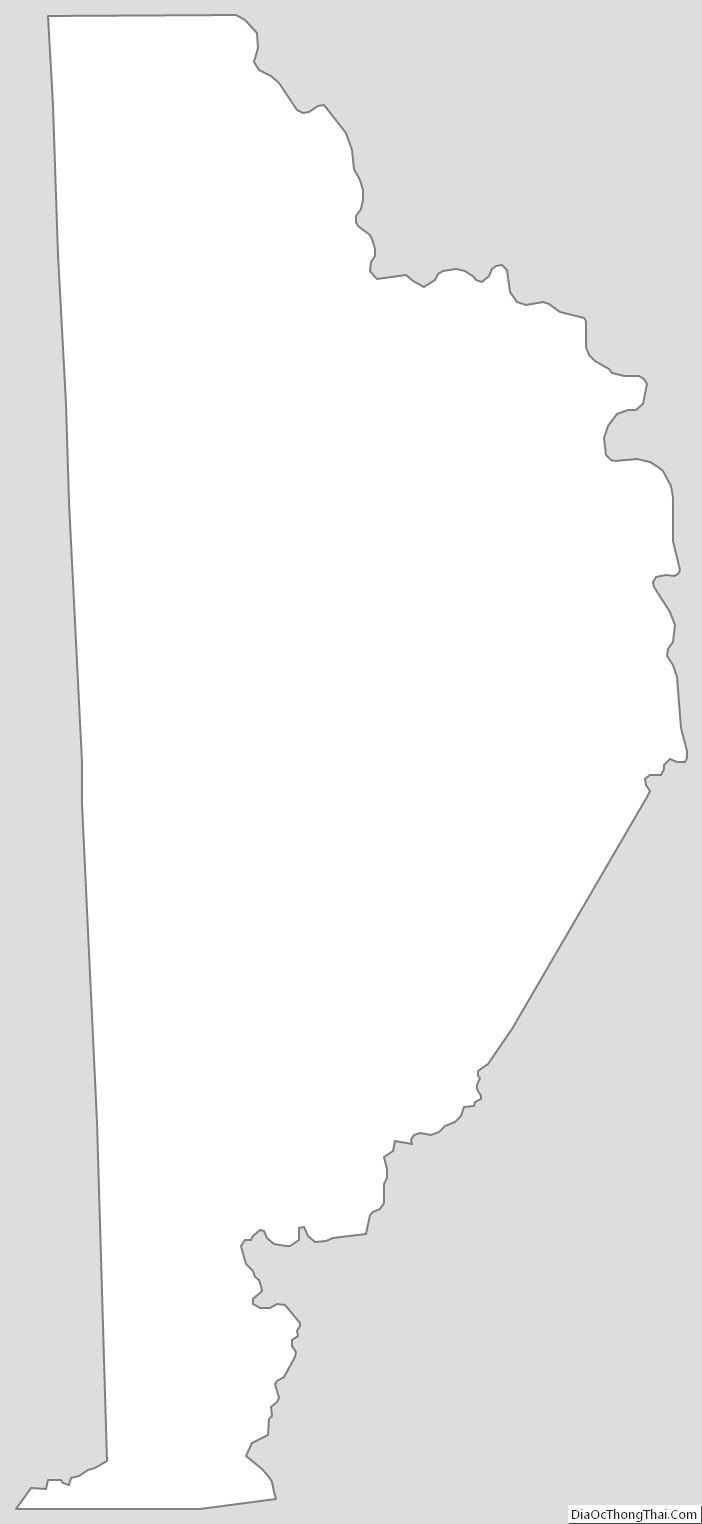
Wayne County Outline Map
See also
Map of Pennsylvania State and its subdivision:- Adams
- Allegheny
- Armstrong
- Beaver
- Bedford
- Berks
- Blair
- Bradford
- Bucks
- Butler
- Cambria
- Cameron
- Carbon
- Centre
- Chester
- Clarion
- Clearfield
- Clinton
- Columbia
- Crawford
- Cumberland
- Dauphin
- Delaware
- Elk
- Erie
- Fayette
- Forest
- Franklin
- Fulton
- Greene
- Huntingdon
- Indiana
- Jefferson
- Juniata
- Lackawanna
- Lancaster
- Lawrence
- Lebanon
- Lehigh
- Luzerne
- Lycoming
- Mc Kean
- Mercer
- Mifflin
- Monroe
- Montgomery
- Montour
- Northampton
- Northumberland
- Perry
- Philadelphia
- Pike
- Potter
- Schuylkill
- Snyder
- Somerset
- Sullivan
- Susquehanna
- Tioga
- Union
- Venango
- Warren
- Washington
- Wayne
- Westmoreland
- Wyoming
- York
- Alabama
- Alaska
- Arizona
- Arkansas
- California
- Colorado
- Connecticut
- Delaware
- District of Columbia
- Florida
- Georgia
- Hawaii
- Idaho
- Illinois
- Indiana
- Iowa
- Kansas
- Kentucky
- Louisiana
- Maine
- Maryland
- Massachusetts
- Michigan
- Minnesota
- Mississippi
- Missouri
- Montana
- Nebraska
- Nevada
- New Hampshire
- New Jersey
- New Mexico
- New York
- North Carolina
- North Dakota
- Ohio
- Oklahoma
- Oregon
- Pennsylvania
- Rhode Island
- South Carolina
- South Dakota
- Tennessee
- Texas
- Utah
- Vermont
- Virginia
- Washington
- West Virginia
- Wisconsin
- Wyoming