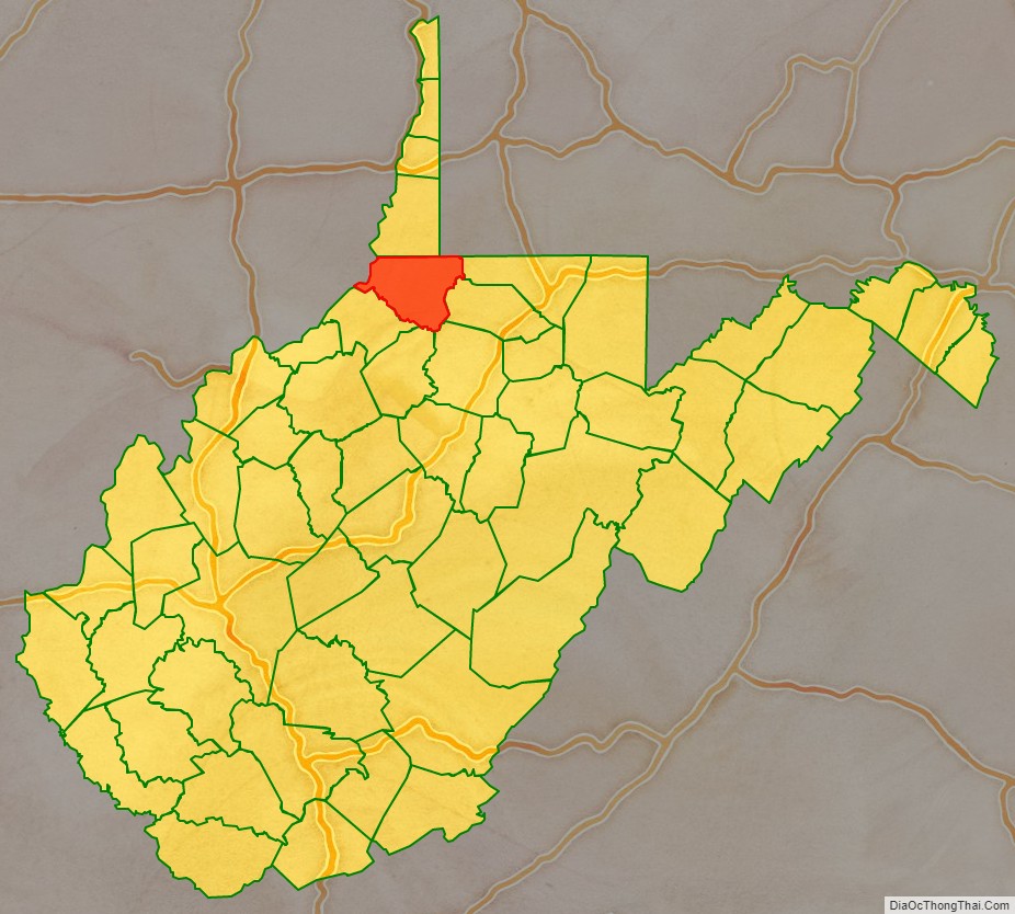
Wetzel County is a county in the U.S. state of West Virginia. As of the 2020 census, the population was 14,442. Its county seat is New Martinsville. The county, founded in 1846, is named for Lewis Wetzel, a famous frontiersman and Indian fighter. Its northern border aligns with the Mason-Dixon line, but is to the west of the line’s western terminus.
| Name: | Wetzel County |
|---|---|
| FIPS code: | 54-103 |
| State: | West Virginia |
| Founded: | January 10, 1846 |
| Named for: | Lewis Wetzel |
| Seat: | New Martinsville |
| Largest city: | New Martinsville |
| Total Area: | 361 sq mi (930 km²) |
| Land Area: | 358 sq mi (930 km²) |
| Total Population: | 14,442 |
| Population Density: | 40/sq mi (15/km²) |
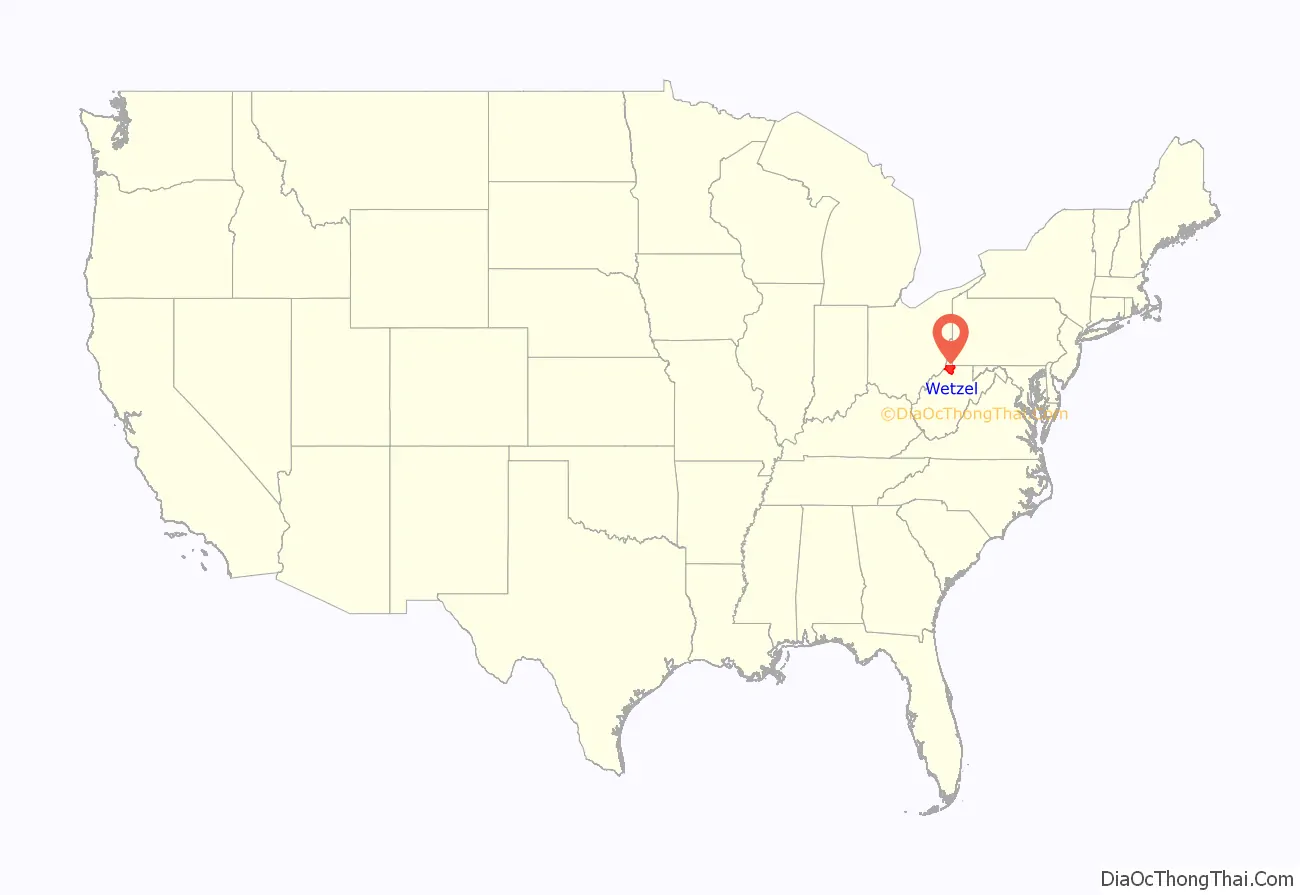
Wetzel County location map. Where is Wetzel County?
History
Wetzel County was formed in 1846 from part of Tyler County, Virginia. On June 20, 1863, at the height of the Civil War, Wetzel was one of fifty Virginia counties admitted to the Union as the state of West Virginia.
Later that year, West Virginia’s counties were divided into civil townships, with the intention of encouraging local government. This proved impractical in the heavily rural state, and in 1872 the townships were converted into magisterial districts. Wetzel County was divided into six districts: Center, Church, Grant, Green, Magnolia, and Proctor. A seventh district, Clay, was formed in the 1880s. New Martinsville, the county seat, was in Magnolia District. Except for minor adjustments, the seven historic magisterial districts remained largely unchanged for a century, until the 1980s, when they were consolidated into three new districts: District 1, District 2, and District 3.
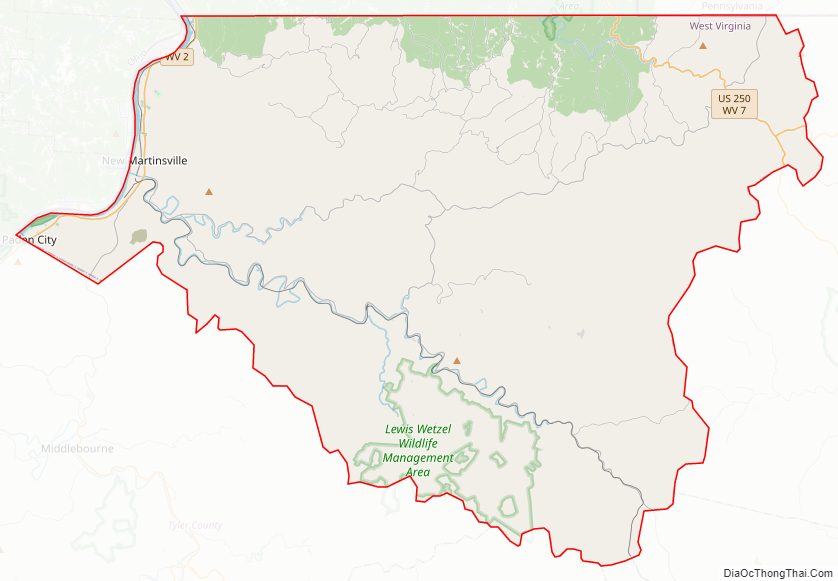
Wetzel County Road Map
Geography
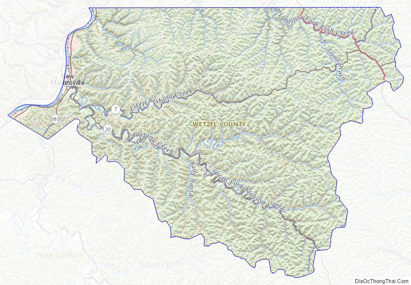
According to the United States Census Bureau, the county has a total area of 361 square miles (930 km), of which 358 square miles (930 km) is land and 3.3 square miles (8.5 km) (0.9%) is water.
Major highways
- US 250
- WV 2
- WV 7
- WV 20
- WV 69
- WV 180
Adjacent counties
- Marshall County (north)
- Greene County, Pennsylvania (northeast)
- Monongalia County (east)
- Marion County (east)
- Harrison County (southeast)
- Doddridge County (south)
- Tyler County (southwest)
- Monroe County, Ohio (west)
National protected area
- Ohio River Islands National Wildlife Refuge (part)
Wetzel County Topographic Map
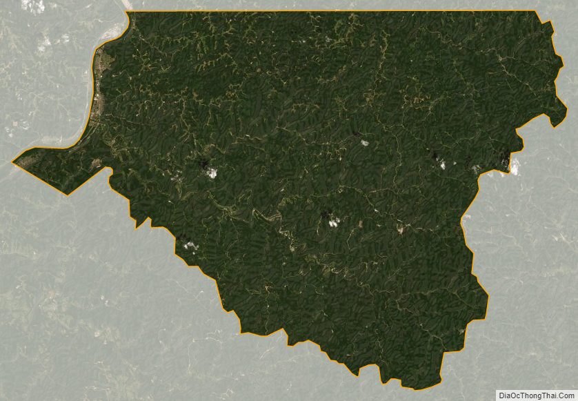
Wetzel County Satellite Map
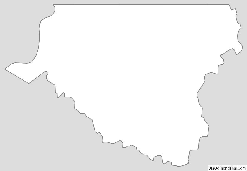
Wetzel County Outline Map
See also
Map of West Virginia State and its subdivision:- Barbour
- Berkeley
- Boone
- Braxton
- Brooke
- Cabell
- Calhoun
- Clay
- Doddridge
- Fayette
- Gilmer
- Grant
- Greenbrier
- Hampshire
- Hancock
- Hardy
- Harrison
- Jackson
- Jefferson
- Kanawha
- Lewis
- Lincoln
- Logan
- Marion
- Marshall
- Mason
- McDowell
- Mercer
- Mineral
- Mingo
- Monongalia
- Monroe
- Morgan
- Nicholas
- Ohio
- Pendleton
- Pleasants
- Pocahontas
- Preston
- Putnam
- Raleigh
- Randolph
- Ritchie
- Roane
- Summers
- Taylor
- Tucker
- Tyler
- Upshur
- Wayne
- Webster
- Wetzel
- Wirt
- Wood
- Wyoming
- Alabama
- Alaska
- Arizona
- Arkansas
- California
- Colorado
- Connecticut
- Delaware
- District of Columbia
- Florida
- Georgia
- Hawaii
- Idaho
- Illinois
- Indiana
- Iowa
- Kansas
- Kentucky
- Louisiana
- Maine
- Maryland
- Massachusetts
- Michigan
- Minnesota
- Mississippi
- Missouri
- Montana
- Nebraska
- Nevada
- New Hampshire
- New Jersey
- New Mexico
- New York
- North Carolina
- North Dakota
- Ohio
- Oklahoma
- Oregon
- Pennsylvania
- Rhode Island
- South Carolina
- South Dakota
- Tennessee
- Texas
- Utah
- Vermont
- Virginia
- Washington
- West Virginia
- Wisconsin
- Wyoming