Wood County is a county located in the U.S. state of Ohio. As of the 2020 census, the population was 132,248. Its county seat is Bowling Green. The county was named for Captain Eleazer D. Wood, the engineer for General William Henry Harrison’s army, who built Fort Meigs in the War of 1812.
Wood County is part of the Toledo, OH Metropolitan Statistical Area. Its diagonal northwest border is formed by the Maumee River, which has its mouth at Maumee Bay on Lake Erie.
| Name: | Wood County |
|---|---|
| FIPS code: | 39-173 |
| State: | Ohio |
| Founded: | April 1, 1820 |
| Named for: | Captain Eleazer D. Wood |
| Seat: | Bowling Green |
| Largest city: | Bowling Green |
| Total Area: | 620 sq mi (1,600 km²) |
| Land Area: | 617 sq mi (1,600 km²) |
| Total Population: | 132,248 |
| Population Density: | 210/sq mi (82/km²) |
| Time zone: | UTC−5 (Eastern) |
| Summer Time Zone (DST): | UTC−4 (EDT) |
| Website: | www.woodcountyohio.gov |
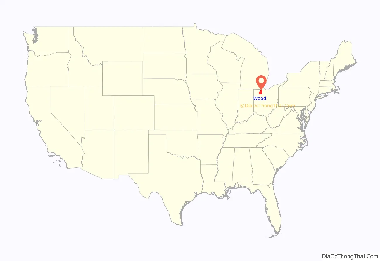
Wood County location map. Where is Wood County?

History
Wood County was established on February 12, 1820, following a treaty and land purchase from local Indian tribes. Perrysburg was the first county seat, and remained the county seat until 1870, when it was moved to Bowling Green.
Wood County established its first health department in 1920.
During the Great Depression in 1933 Wood County was the site of an early penny auction.
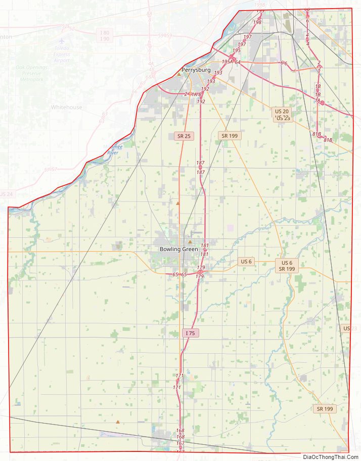
Wood County Road Map
Geography
According to the U.S. Census Bureau, the county has a total area of 620 square miles (1,600 km), of which 617 square miles (1,600 km) is land and 3.3 square miles (8.5 km) (0.5%) is water.
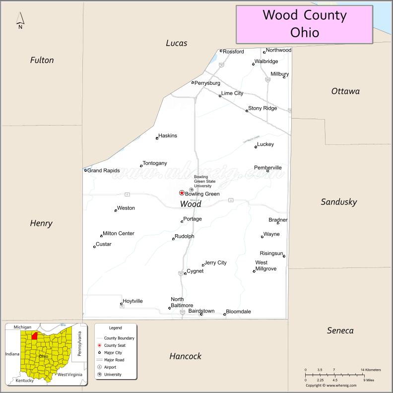
Adjacent counties
- Lucas County (north)
- Ottawa County (northeast)
- Sandusky County (east)
- Seneca County (southeast)
- Hancock County (south)
- Putnam County (southwest)
- Henry County (west)
Wood County Topographic Map
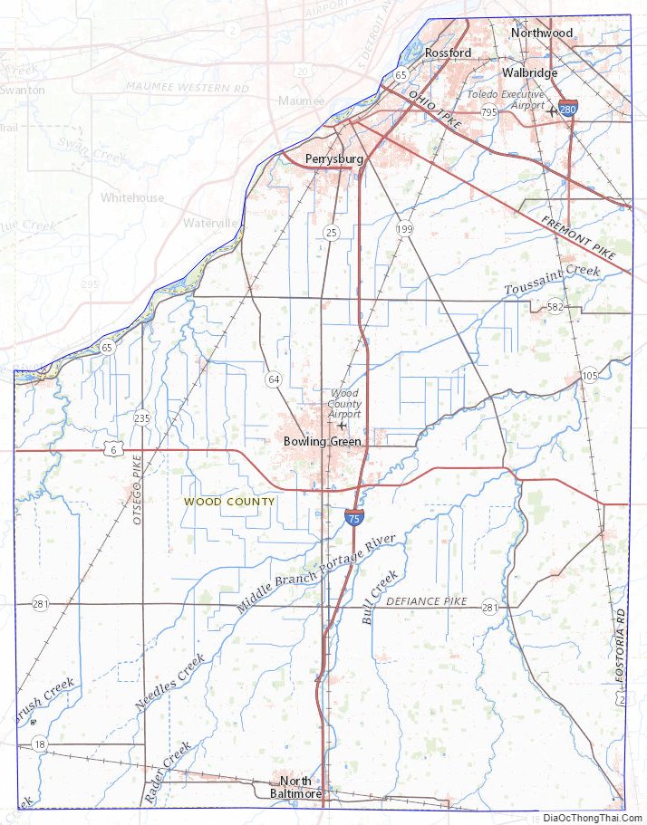
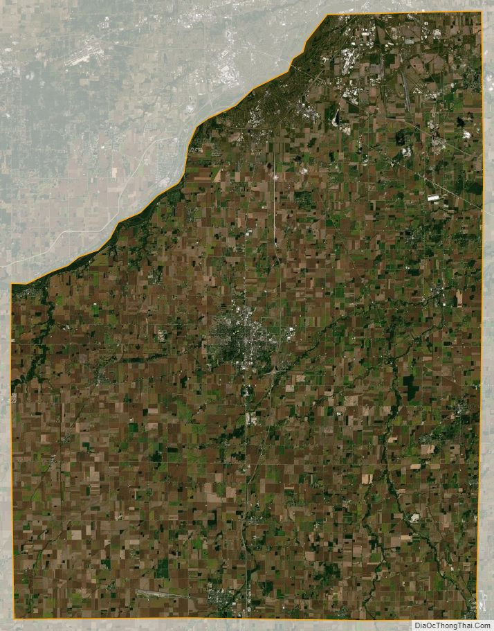
Wood County Satellite Map
Wood County Outline Map
See also
Map of Ohio State and its subdivision:- Adams
- Allen
- Ashland
- Ashtabula
- Athens
- Auglaize
- Belmont
- Brown
- Butler
- Carroll
- Champaign
- Clark
- Clermont
- Clinton
- Columbiana
- Coshocton
- Crawford
- Cuyahoga
- Darke
- Defiance
- Delaware
- Erie
- Fairfield
- Fayette
- Franklin
- Fulton
- Gallia
- Geauga
- Greene
- Guernsey
- Hamilton
- Hancock
- Hardin
- Harrison
- Henry
- Highland
- Hocking
- Holmes
- Huron
- Jackson
- Jefferson
- Knox
- Lake
- Lake Erie
- Lawrence
- Licking
- Logan
- Lorain
- Lucas
- Madison
- Mahoning
- Marion
- Medina
- Meigs
- Mercer
- Miami
- Monroe
- Montgomery
- Morgan
- Morrow
- Muskingum
- Noble
- Ottawa
- Paulding
- Perry
- Pickaway
- Pike
- Portage
- Preble
- Putnam
- Richland
- Ross
- Sandusky
- Scioto
- Seneca
- Shelby
- Stark
- Summit
- Trumbull
- Tuscarawas
- Union
- Van Wert
- Vinton
- Warren
- Washington
- Wayne
- Williams
- Wood
- Wyandot
- Alabama
- Alaska
- Arizona
- Arkansas
- California
- Colorado
- Connecticut
- Delaware
- District of Columbia
- Florida
- Georgia
- Hawaii
- Idaho
- Illinois
- Indiana
- Iowa
- Kansas
- Kentucky
- Louisiana
- Maine
- Maryland
- Massachusetts
- Michigan
- Minnesota
- Mississippi
- Missouri
- Montana
- Nebraska
- Nevada
- New Hampshire
- New Jersey
- New Mexico
- New York
- North Carolina
- North Dakota
- Ohio
- Oklahoma
- Oregon
- Pennsylvania
- Rhode Island
- South Carolina
- South Dakota
- Tennessee
- Texas
- Utah
- Vermont
- Virginia
- Washington
- West Virginia
- Wisconsin
- Wyoming