Woods County is a county located in the northwestern part of the U.S. state of Oklahoma. As of the 2010 census, the population was 8,878. Its county seat is Alva. The county is named after Samuel Newitt Wood, a renowned Kansas populist.
| Name: | Woods County |
|---|---|
| FIPS code: | 40-151 |
| State: | Oklahoma |
| Founded: | 1893 |
| Named for: | Samuel Newitt Wood |
| Seat: | Alva |
| Largest city: | Alva |
| Total Area: | 1,290 sq mi (3,300 km²) |
| Land Area: | 1,286 sq mi (3,330 km²) |
| Total Population: | 8,878 |
| Population Density: | 6.9/sq mi (2.7/km²) |
| Time zone: | UTC−6 (Central) |
| Summer Time Zone (DST): | UTC−5 (CDT) |
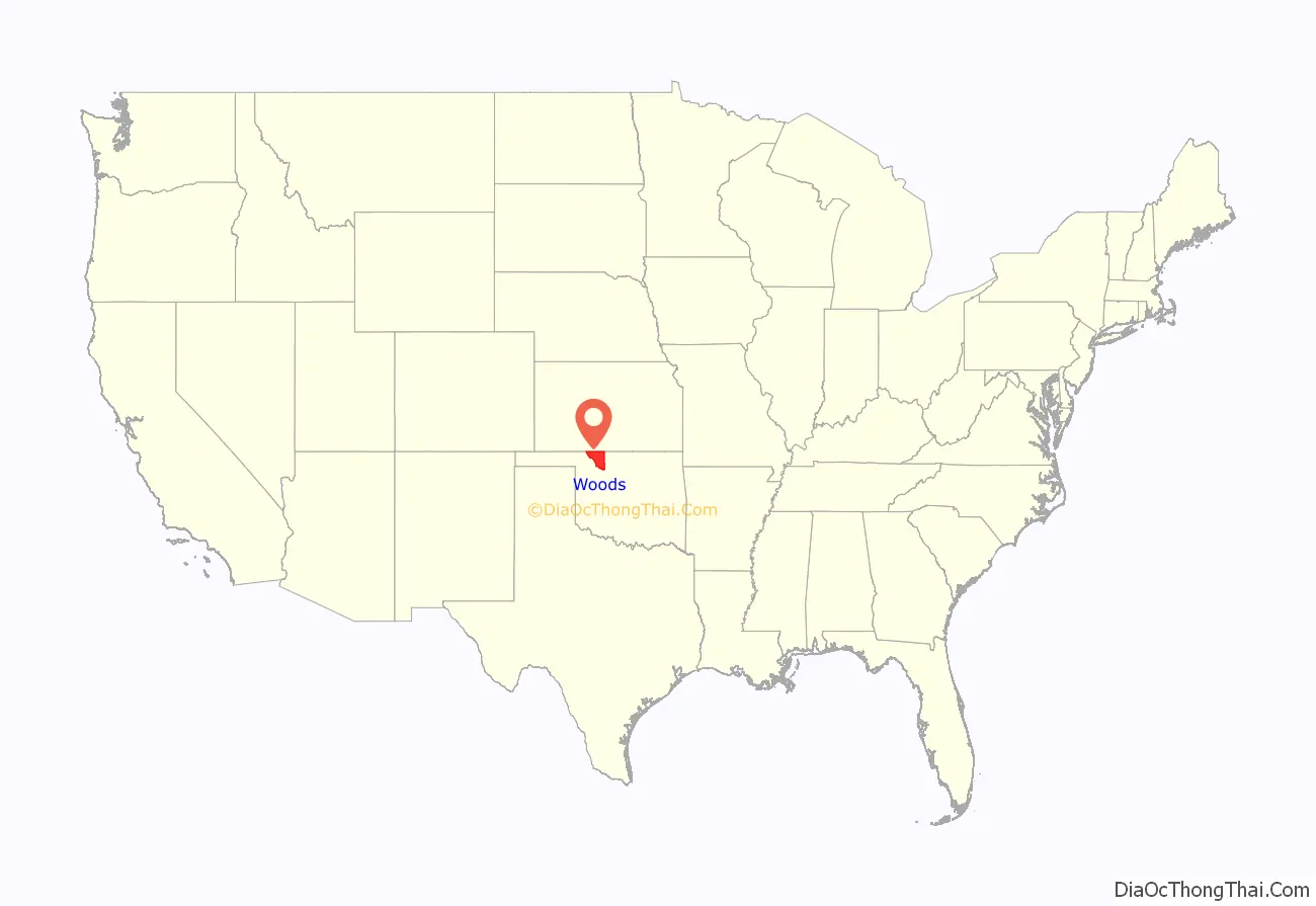
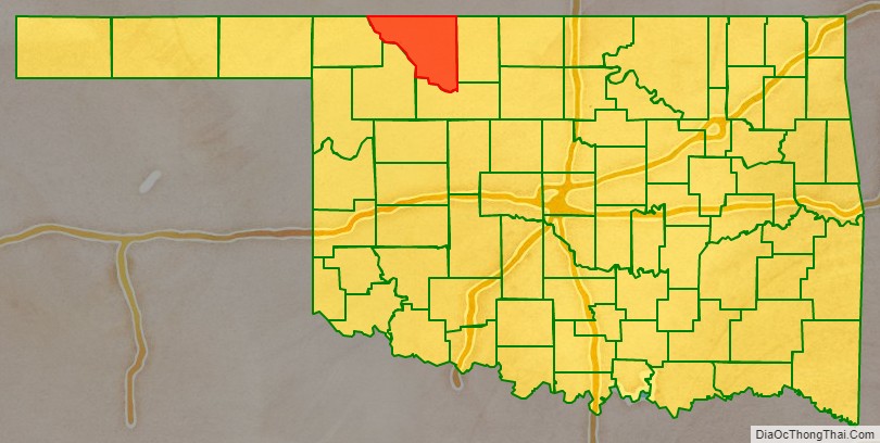
Woods County location map. Where is Woods County?
History
The Burnham site in Woods County is a pre-Clovis site, that is, an archaeological site dating before 11,000 years ago. The region of Woods County, Oklahoma, was home to the Antelope Creek Phase of Southern Plains Villagers, a precontact culture of Native Americans, who are related to the Wichita and Affiliated Tribes.
An early European explorer of the area now contained within Woods County was George C. Sibley, who traveled through in 1811. He visited a salt formation near the present town of Freedom, Oklahoma, then followed the Mountain Fork of the Arkansas River southeastward to the Great Salt Plains. In 1843, Nathan Boone traveled along the Cimarron River.
The area was part of Cherokee Outlet, guaranteed to the Cherokee Nation under the Treaty of New Echota. It later became important for cattle ranching. The Dodge City and Red Fork Trail, a branch of the Chisholm Trail followed the north bank of the Cimarron River en route to Kansas. The U. S. Government acquired the Cherokee Outlet under Congressional Acts in 1889, 1891 and 1893, and divided the area into counties. One of these was designated M County, prior to opening the area for settlement. The Secretary of the Interior designated Alva as the county seat. M County was renamed Woods County by a ballot measure on November 6, 1894. The name was one of three put forth on the ballot, and was the Populists party’s submission to honor Samuel Newitt Wood, a Kansas Populist. Despite the name being misspelled on the ballot, the election committee “decided to keep the s for euphony sake”. Woods County became part of Oklahoma Territory.
The Constitutional Convention of 1906 created Major County and Alfalfa County from southern and eastern parts of Woods County and added a part of Woodward County to Woods County.
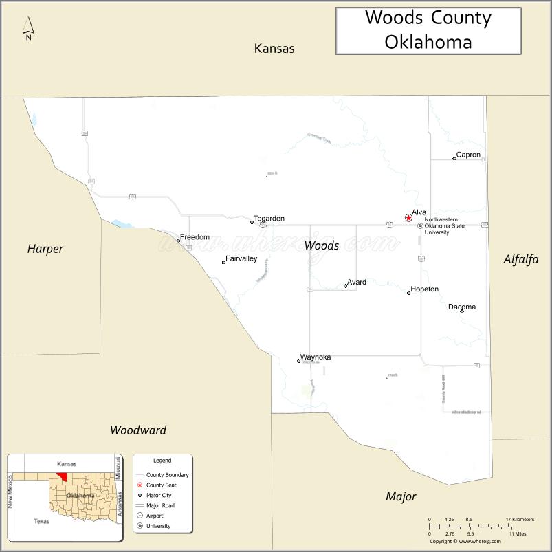
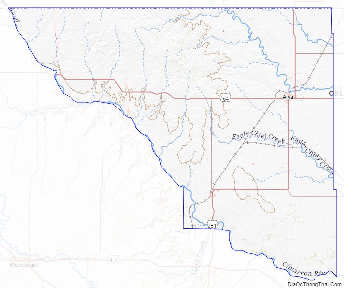
Woods County Road Map
Geography
According to the U.S. Census Bureau, the county has a total area of 1,290 square miles (3,300 km), of which 1,286 square miles (3,330 km) is land and 3.5 square miles (9.1 km) (0.3%) is water. It is located along the Kansas border.
Major highways
- U.S. Highway 64
- U.S. Highway 281
- State Highway 11
- State Highway 14
- State Highway 34
- State Highway 45
Adjacent counties
- Comanche County, Kansas (north)
- Barber County, Kansas (northeast)
- Alfalfa County (east)
- Major County (south)
- Woodward County (southwest)
- Harper County (west)
Woods County Topographic Map
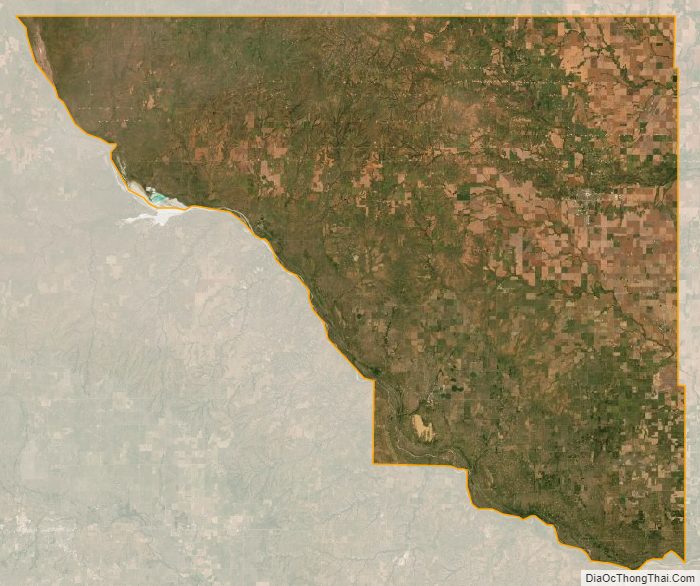
Woods County Satellite Map
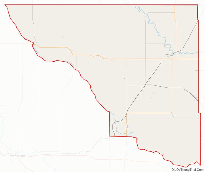
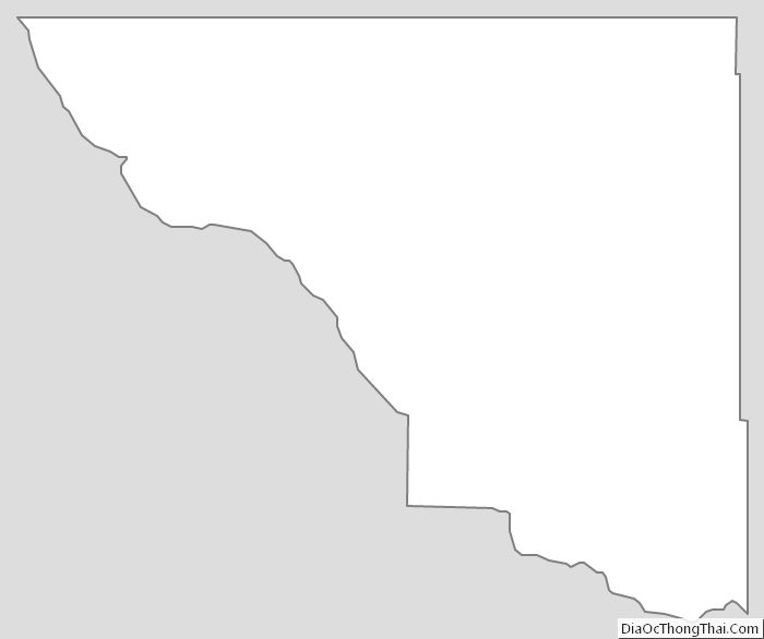
Woods County Outline Map
See also
Map of Oklahoma State and its subdivision:- Adair
- Alfalfa
- Atoka
- Beaver
- Beckham
- Blaine
- Bryan
- Caddo
- Canadian
- Carter
- Cherokee
- Choctaw
- Cimarron
- Cleveland
- Coal
- Comanche
- Cotton
- Craig
- Creek
- Custer
- Delaware
- Dewey
- Ellis
- Garfield
- Garvin
- Grady
- Grant
- Greer
- Harmon
- Harper
- Haskell
- Hughes
- Jackson
- Jefferson
- Johnston
- Kay
- Kingfisher
- Kiowa
- Latimer
- Le Flore
- Lincoln
- Logan
- Love
- Major
- Marshall
- Mayes
- McClain
- McCurtain
- McIntosh
- Murray
- Muskogee
- Noble
- Nowata
- Okfuskee
- Oklahoma
- Okmulgee
- Osage
- Ottawa
- Pawnee
- Payne
- Pittsburg
- Pontotoc
- Pottawatomie
- Pushmataha
- Roger Mills
- Rogers
- Seminole
- Sequoyah
- Stephens
- Texas
- Tillman
- Tulsa
- Wagoner
- Washington
- Washita
- Woods
- Woodward
- Alabama
- Alaska
- Arizona
- Arkansas
- California
- Colorado
- Connecticut
- Delaware
- District of Columbia
- Florida
- Georgia
- Hawaii
- Idaho
- Illinois
- Indiana
- Iowa
- Kansas
- Kentucky
- Louisiana
- Maine
- Maryland
- Massachusetts
- Michigan
- Minnesota
- Mississippi
- Missouri
- Montana
- Nebraska
- Nevada
- New Hampshire
- New Jersey
- New Mexico
- New York
- North Carolina
- North Dakota
- Ohio
- Oklahoma
- Oregon
- Pennsylvania
- Rhode Island
- South Carolina
- South Dakota
- Tennessee
- Texas
- Utah
- Vermont
- Virginia
- Washington
- West Virginia
- Wisconsin
- Wyoming