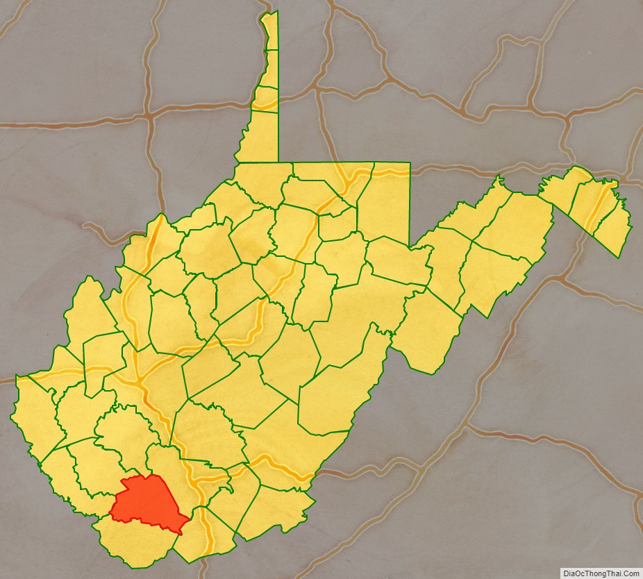
Wyoming County is a county in the U.S. state of West Virginia. As of the 2020 census, the population was 21,382. Its county seat is Pineville. The county was created in 1850 from Logan County and named for the Lenape word meaning “large plains”.
| Name: | Wyoming County |
|---|---|
| FIPS code: | 54-109 |
| State: | West Virginia |
| Founded: | January 26, 1850 |
| Seat: | Pineville |
| Largest city: | Mullens |
| Total Area: | 502 sq mi (1,300 km²) |
| Land Area: | 499 sq mi (1,290 km²) |
| Total Population: | 21,382 |
| Population Density: | 43/sq mi (16/km²) |
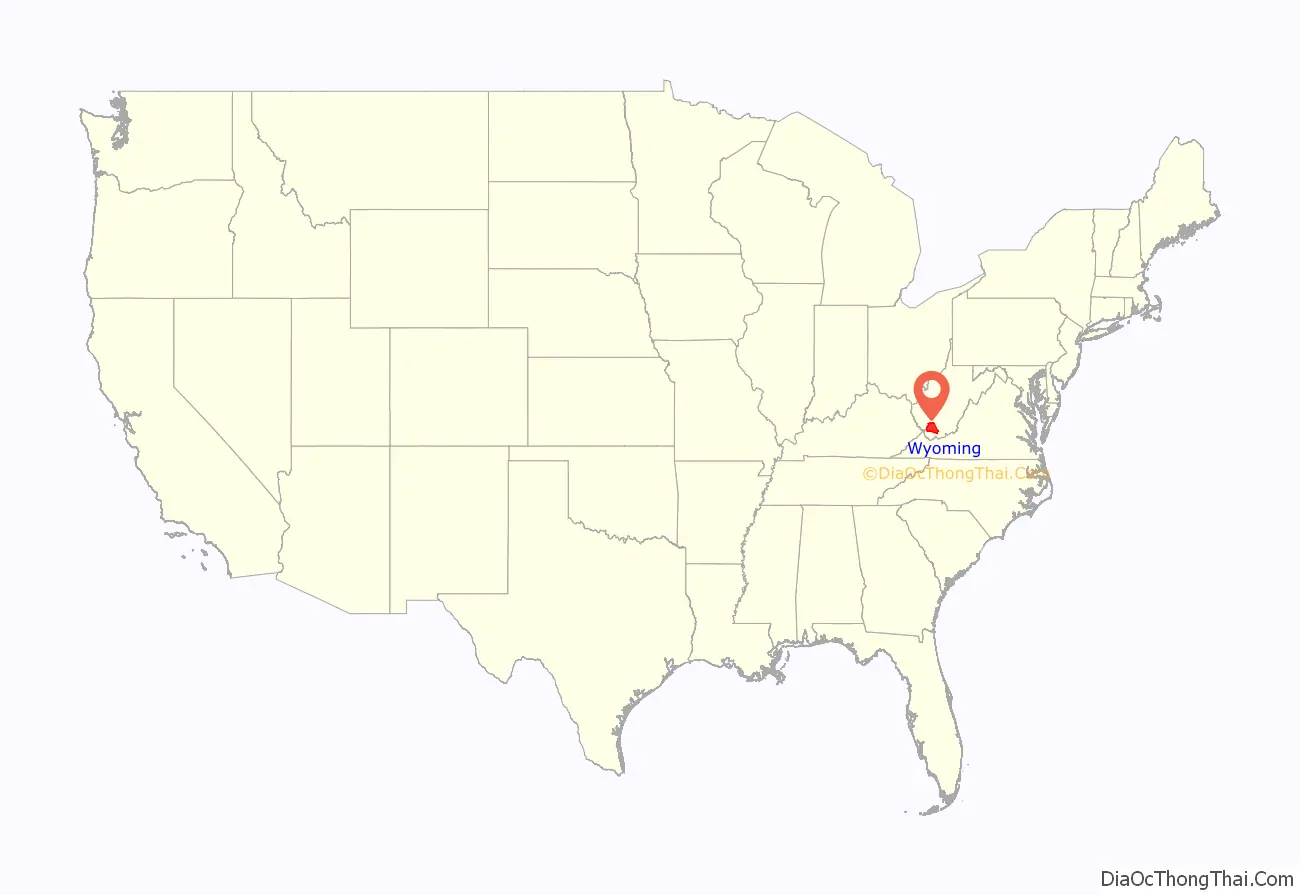
Wyoming County location map. Where is Wyoming County?
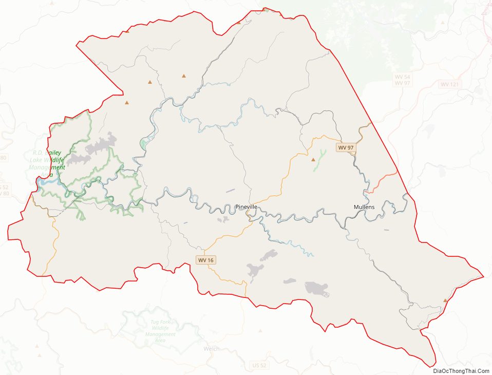
Wyoming County Road Map
Geography
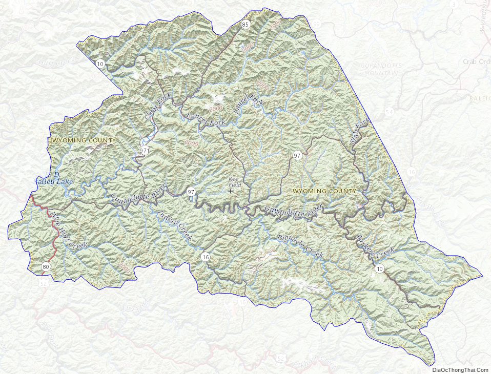
According to the United States Census Bureau, the county has a total area of 502 square miles (1,300 km), of which 499 square miles (1,290 km) is land and 2.4 square miles (6.2 km) (0.5%) is water. The county is drained by the branches of Sandy and Guyandotte rivers. The land surface is mountainous.
In 1863, West Virginia’s counties were divided into civil townships, with the intention of encouraging local government. This proved impractical in the heavily rural state, and in 1872 the townships were converted into magisterial districts. Wyoming County was divided into six districts: Barkers Ridge, Center, Clear Fork, Huff Creek, Oceana, and Slab Fork. A seventh district, Baileysville, was created from portions of Clear Fork and Huff Creek in 1881. Except for minor adjustments, the seven historic magisterial districts remained largely unchanged for over a century. In the 1990s, they were consolidated into three new districts: District 1, District 2, and District 3.
Major highways
Adjacent counties
- Boone County (north)
- Raleigh County (northeast)
- Mercer County (southeast)
- McDowell County (south)
- Mingo County (west)
- Logan County (northwest)
Wyoming County Topographic Map
Wyoming County Satellite Map

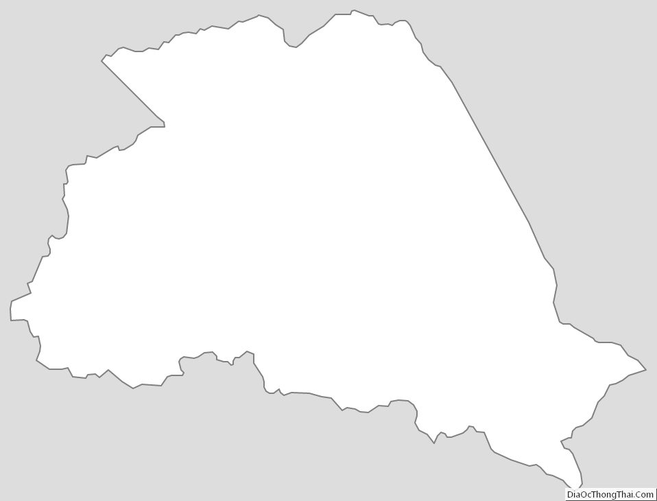
Wyoming County Outline Map
See also
Map of West Virginia State and its subdivision:- Barbour
- Berkeley
- Boone
- Braxton
- Brooke
- Cabell
- Calhoun
- Clay
- Doddridge
- Fayette
- Gilmer
- Grant
- Greenbrier
- Hampshire
- Hancock
- Hardy
- Harrison
- Jackson
- Jefferson
- Kanawha
- Lewis
- Lincoln
- Logan
- Marion
- Marshall
- Mason
- McDowell
- Mercer
- Mineral
- Mingo
- Monongalia
- Monroe
- Morgan
- Nicholas
- Ohio
- Pendleton
- Pleasants
- Pocahontas
- Preston
- Putnam
- Raleigh
- Randolph
- Ritchie
- Roane
- Summers
- Taylor
- Tucker
- Tyler
- Upshur
- Wayne
- Webster
- Wetzel
- Wirt
- Wood
- Wyoming
- Alabama
- Alaska
- Arizona
- Arkansas
- California
- Colorado
- Connecticut
- Delaware
- District of Columbia
- Florida
- Georgia
- Hawaii
- Idaho
- Illinois
- Indiana
- Iowa
- Kansas
- Kentucky
- Louisiana
- Maine
- Maryland
- Massachusetts
- Michigan
- Minnesota
- Mississippi
- Missouri
- Montana
- Nebraska
- Nevada
- New Hampshire
- New Jersey
- New Mexico
- New York
- North Carolina
- North Dakota
- Ohio
- Oklahoma
- Oregon
- Pennsylvania
- Rhode Island
- South Carolina
- South Dakota
- Tennessee
- Texas
- Utah
- Vermont
- Virginia
- Washington
- West Virginia
- Wisconsin
- Wyoming