Yakima County is a county in the U.S. state of Washington. As of the 2020 census, its population was 256,728. The county seat and largest city is Yakima. The county was formed out of Ferguson County in January 1865 and is named for the Yakama tribe of Native Americans.
Yakima County comprises the Yakima, WA Metropolitan Statistical Area and is Washington state’s largest majority-Hispanic county as of 2020.
| Name: | Yakima County |
|---|---|
| FIPS code: | 53-077 |
| State: | Washington |
| Founded: | January 21, 1865 |
| Named for: | Yakama Nation |
| Seat: | Yakima |
| Largest city: | Yakima |
| Total Area: | 4,311 sq mi (11,170 km²) |
| Land Area: | 4,295 sq mi (11,120 km²) |
| Total Population: | 256,728 |
| Population Density: | 58/sq mi (22/km²) |
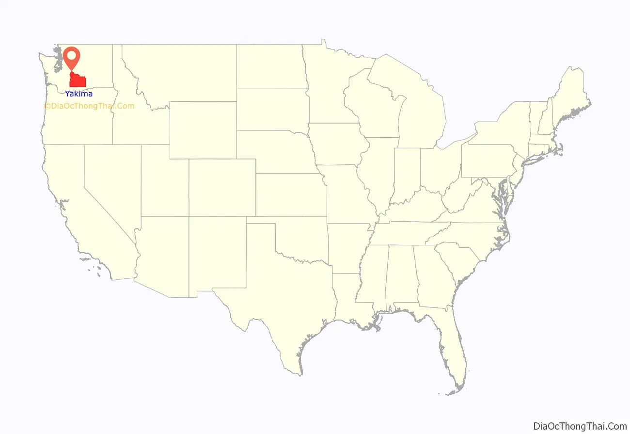
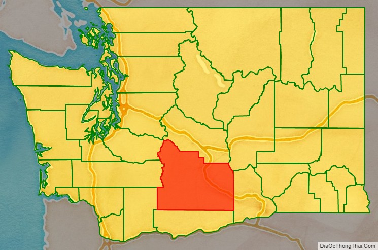
Yakima County location map. Where is Yakima County?
History
The area that now comprises Yakima County was part of the Oregon Country at the start of the nineteenth century, inhabited both by fur prospectors from Canada, and Americans seeking land for agricultural and mineral-extraction opportunities. Unable to resolve which country should control this vast area, the Treaty of 1818 provided for joint control. By 1843, the Provisional Government of Oregon had been established, although at first there were questions as to its authority and extent. During its existence, that provisional government formed the area north of the Columbia River first into the Washington Territory, and then (December 19, 1845) into two vast counties: Clark and Lewis.
The Washington Territory was formed as a separate governing entity in 1853. In 1854, that legislature carved several counties out of the two original large counties, including Skamania County. Later in 1854 the new Skamania County was reduced in size by carving out Walla Walla County. This arrangement lasted until January 23, 1863, when Ferguson County was carved out of Walla Walla County. However, the Ferguson County government and boundary was dissolved on January 18, 1865, and its area was assigned to Yakima County three days later.
Since its creation, the Yakima County boundary has been altered two times. In 1883 a portion of its area was carved off in the creation of Kittitas County, and in 1905 a further reduction added to the creation of Benton County.
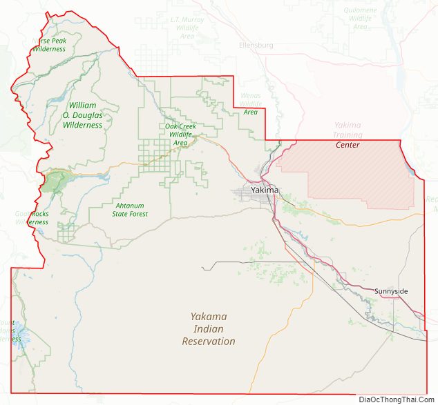
The Yakama Indian Reservation was created in 1855. However, several tribes felt the agreement creating this reserved area had been completed without sufficient native input, and skirmishes and local war (the Yakima War, which lasted until 1858) meant that the reservation was not fully operational for two decades. The Reservation is the 15th largest reservation in America, covering 1,573 mi (4,074 km), and comprising 36% of the county’s total area. Its population was 31,799 in 2000, and its largest city is Toppenish.
Yakima County Road Map
Geography
According to the United States Census Bureau, the county has a total area of 4,311 square miles (11,170 km), of which 4,295 square miles (11,120 km) is land and 16 square miles (41 km) (0.4%) is water. Yakima County is the second-largest county in Washington by land area and third-largest by total area. Yakima County is reputed to be one of the most difficult places on earth to predict weather, because of its surrounding mountains. The county’s area is larger than the states of Delaware and Rhode Island combined. The highest point in the county is Mount Adams, which is the second tallest peak in Washington and the third tallest in the Cascade Range.
Geographic features
- Mount Adams, 12,281 feet (3,743 m)
- Gilbert Peak, 8,184 feet (2,494 m)
- Mount Aix, 7,766 feet (2,367 m)
- Tieton Peak, 7,724 feet (2,354 m)
- Cascade Mountains
- Rattlesnake Hills
- Horse Heaven Hills
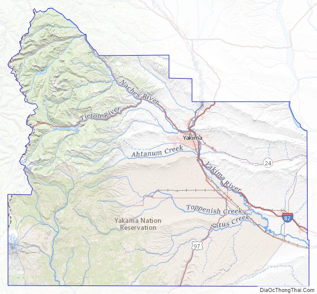
Major rivers
- Yakima River
- Columbia River
- Naches River
- Tieton River
- Bumping River
- American River
National protected areas
- Wenatchee National Forest (part)
- Gifford Pinchot National Forest (part)
- Snoqualmie National Forest (part)
- Goat Rocks Wilderness
- Mount Adams Wilderness (part)
- Norse Peak Wilderness (part)
- William O. Douglas Wilderness
- Toppenish National Wildlife Refuge
Major roads
- Interstate 82
- U.S. Route 12
- U.S. Route 97
Adjacent counties
- Pierce County – northwest
- Lewis County – west
- Skamania County – southwest
- Kittitas County – north
- Klickitat County – south
- Grant County – northeast
- Benton County – east
Yakima County Topographic Map
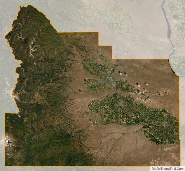
Yakima County Satellite Map
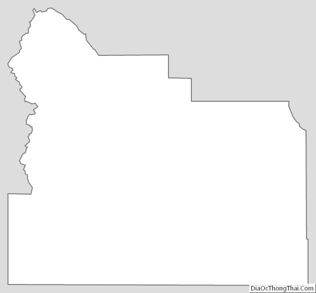
Yakima County Outline Map
See also
Map of Washington State and its subdivision:- Adams
- Asotin
- Benton
- Chelan
- Clallam
- Clark
- Columbia
- Cowlitz
- Douglas
- Ferry
- Franklin
- Garfield
- Grant
- Grays Harbor
- Island
- Jefferson
- King
- Kitsap
- Kittitas
- Klickitat
- Lewis
- Lincoln
- Mason
- Okanogan
- Pacific
- Pend Oreille
- Pierce
- San Juan
- Skagit
- Skamania
- Snohomish
- Spokane
- Stevens
- Thurston
- Wahkiakum
- Walla Walla
- Whatcom
- Whitman
- Yakima
- Alabama
- Alaska
- Arizona
- Arkansas
- California
- Colorado
- Connecticut
- Delaware
- District of Columbia
- Florida
- Georgia
- Hawaii
- Idaho
- Illinois
- Indiana
- Iowa
- Kansas
- Kentucky
- Louisiana
- Maine
- Maryland
- Massachusetts
- Michigan
- Minnesota
- Mississippi
- Missouri
- Montana
- Nebraska
- Nevada
- New Hampshire
- New Jersey
- New Mexico
- New York
- North Carolina
- North Dakota
- Ohio
- Oklahoma
- Oregon
- Pennsylvania
- Rhode Island
- South Carolina
- South Dakota
- Tennessee
- Texas
- Utah
- Vermont
- Virginia
- Washington
- West Virginia
- Wisconsin
- Wyoming