Yazoo County is a county located in the U.S. state of Mississippi. As of the 2020 census, the population was 26,743. The county seat is Yazoo City. It is named for the Yazoo River, which forms its western border. Its name is said to come from a Choctaw language word meaning “River of Death.”
| Name: | Yazoo County |
|---|---|
| FIPS code: | 28-163 |
| State: | Mississippi |
| Founded: | January 21, 1823 |
| Named for: | Yazoo River |
| Seat: | Yazoo City |
| Largest city: | Yazoo City |
| Total Area: | 934 sq mi (2,420 km²) |
| Land Area: | 923 sq mi (2,390 km²) |
| Total Population: | 26,743 |
| Population Density: | 29/sq mi (11/km²) |
| Time zone: | UTC−6 (Central) |
| Summer Time Zone (DST): | UTC−5 (CDT) |
| Website: | yazoocounty.net |
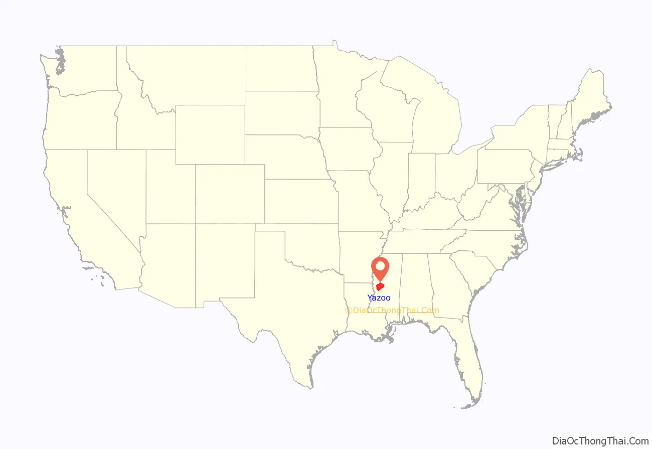
Yazoo County location map. Where is Yazoo County?
History
The area which is now Yazoo County was acquired by the State of Mississippi from the Choctaw Indians in 1820. Yazoo County was established on January 21, 1823. It was the 19th county established in the State of Mississippi, and remains the largest in area. It was developed for cotton plantations, and the first had access to the major river. The first county seat was at Beatties Bluff. In 1829, the county seat was moved to Benton. In 1849 the county seat was moved again, to Yazoo City, where it remains.
Yazoo County was a battlefield in 1863 and 1864 during the American Civil War. After the war, there was violence of whites against freedmen. Such violence continued after Reconstruction. In the period from 1877 to 1950, Yazoo County had 18 documented lynchings of African Americans. Most occurred around the turn of the 20th century, as part of white imposition of Jim Crow conditions and suppression of black voting.
In 1900 there was a railroad disaster that killed engineer Casey Jones; it took place in Yazoo County just north of Vaughan. The Great Mississippi Flood of 1927 did much damage in Yazoo County.
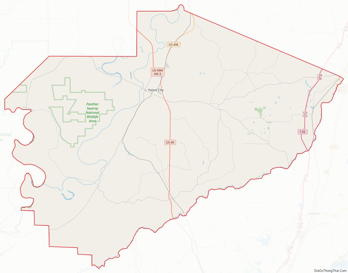
Yazoo County Road Map
Geography
According to the U.S. Census Bureau, the county has a total area of 934 square miles (2,420 km), of which 923 square miles (2,390 km) is land and 11 square miles (28 km) (1.2%) is water. It is the largest county in Mississippi by land area and third-largest by total area.
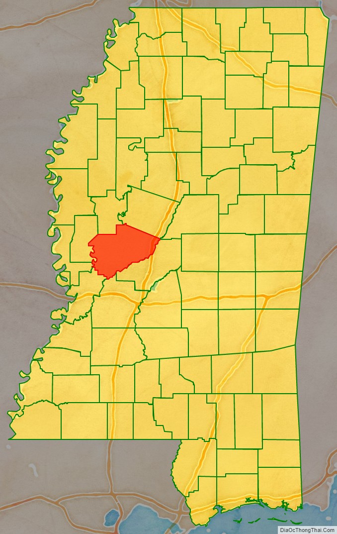
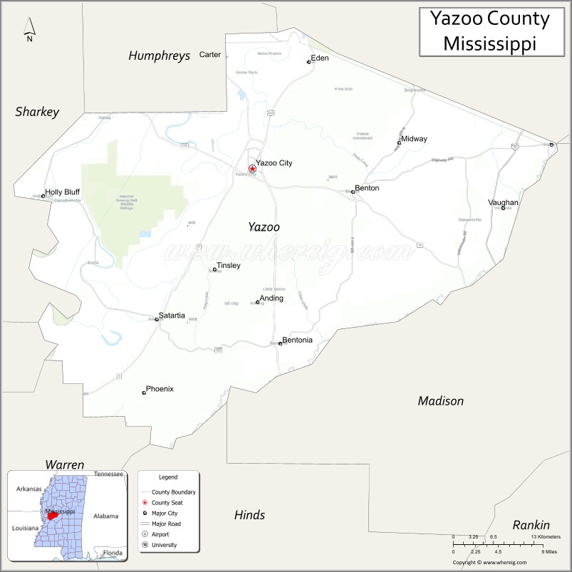
Adjacent counties
- Humphreys County (north)
- Holmes County (northeast)
- Madison County (east)
- Hinds County (south)
- Warren County (southwest)
- Issaquena County (west)
- Sharkey County (northwest)
National protected area
- Hillside National Wildlife Refuge (part)
- Panther Swamp National Wildlife Refuge
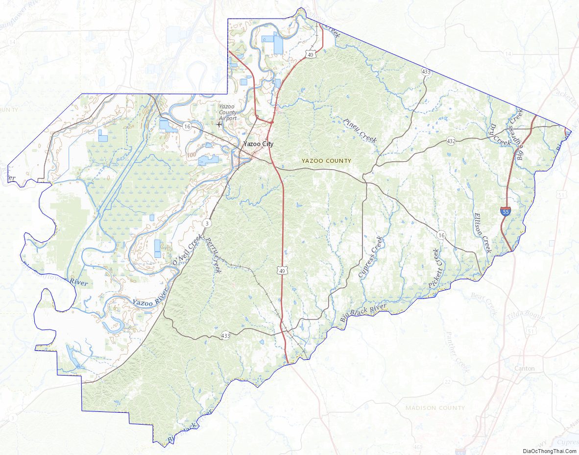
Yazoo County Topographic Map
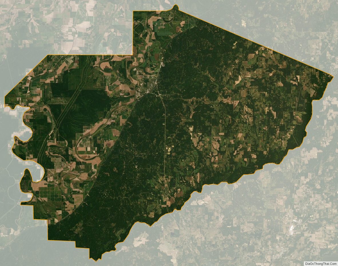
Yazoo County Satellite Map
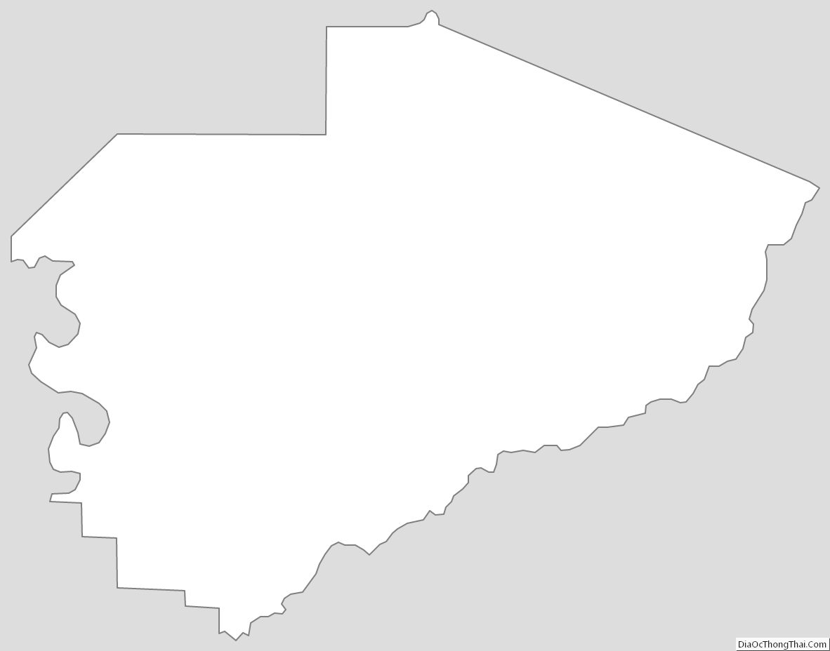
Yazoo County Outline Map
See also
Map of Mississippi State and its subdivision:- Adams
- Alcorn
- Amite
- Attala
- Benton
- Bolivar
- Calhoun
- Carroll
- Chickasaw
- Choctaw
- Claiborne
- Clarke
- Clay
- Coahoma
- Copiah
- Covington
- Desoto
- Forrest
- Franklin
- George
- Greene
- Grenada
- Hancock
- Harrison
- Hinds
- Holmes
- Humphreys
- Issaquena
- Itawamba
- Jackson
- Jasper
- Jefferson
- Jefferson Davis
- Jones
- Kemper
- Lafayette
- Lamar
- Lauderdale
- Lawrence
- Leake
- Lee
- Leflore
- Lincoln
- Lowndes
- Madison
- Marion
- Marshall
- Monroe
- Montgomery
- Neshoba
- Newton
- Noxubee
- Oktibbeha
- Panola
- Pearl River
- Perry
- Pike
- Pontotoc
- Prentiss
- Quitman
- Rankin
- Scott
- Sharkey
- Simpson
- Smith
- Stone
- Sunflower
- Tallahatchie
- Tate
- Tippah
- Tishomingo
- Tunica
- Union
- Walthall
- Warren
- Washington
- Wayne
- Webster
- Wilkinson
- Winston
- Yalobusha
- Yazoo
- Alabama
- Alaska
- Arizona
- Arkansas
- California
- Colorado
- Connecticut
- Delaware
- District of Columbia
- Florida
- Georgia
- Hawaii
- Idaho
- Illinois
- Indiana
- Iowa
- Kansas
- Kentucky
- Louisiana
- Maine
- Maryland
- Massachusetts
- Michigan
- Minnesota
- Mississippi
- Missouri
- Montana
- Nebraska
- Nevada
- New Hampshire
- New Jersey
- New Mexico
- New York
- North Carolina
- North Dakota
- Ohio
- Oklahoma
- Oregon
- Pennsylvania
- Rhode Island
- South Carolina
- South Dakota
- Tennessee
- Texas
- Utah
- Vermont
- Virginia
- Washington
- West Virginia
- Wisconsin
- Wyoming