Political map of Idaho State - Printable Collection

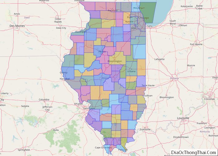
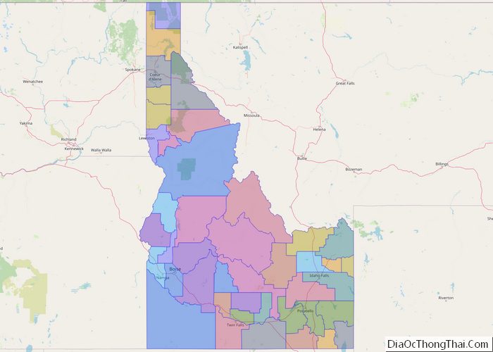
Political map of Idaho State – Printable Collection

Idaho (/ˈaɪdəhoʊ/ (listen) EYE-də-hoh) is a state in the Pacific Northwest region of the Western United States. To the north, it shares a small portion of the Canada–United States border with the province of British Columbia. It borders the states of Montana and Wyoming to the east, Nevada and Utah to the south, and Washington … Read more

Political map of Illinois State - Printable Collection

Political map of Illinois State – Printable Collection

Illinois (/ˌɪlɪˈnɔɪ/ (listen) IL-ə-NOY) is a state in the Midwestern United States. It shares borders with Wisconsin to its north, Iowa to its northwest, Missouri to its southwest, Kentucky to its south, and Indiana to its east. Its largest metropolitan areas include the Chicago metropolitan area, and the Metro East section, of Greater St. Louis. … Read more

Political map of Indiana State - Printable Collection

Political map of Indiana State – Printable Collection

Indiana (/ˌɪndiˈænə/ (listen)) is a U.S. state in the Midwestern United States. It is the 38th-largest by area and the 17th-most populous of the 50 States. Its capital and largest city is Indianapolis. Indiana was admitted to the United States as the 19th state on December 11, 1816. It is bordered by Lake Michigan to … Read more