The United States (US) covers a total area of 9,833,520 sq. km. Of this area, the 48 contiguous states and the District of Columbia cover 8,080,470 sq. km. The archipelago of Hawaii has an area of 28,311 sq. km while the remaining area is part of the US territories. The greatest east-west distance in the ... Read more
Map of countries
Map of all countries on the world.
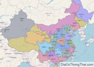
China covers an area of about 9.6 million sq. km in East Asia. As observed on the physical map of China above, the country has a highly varied topography including plains, mountains, plateaus, deserts, etc. In the vast western reaches of China – mountains, high plateaus and deserts dominate the landscape, while in the central and ... Read more
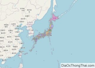
The archipelago of Japan contains over 4,000 islands stretching along the Pacific coast of East Asia, with four major islands (sometimes referred to as the “Home Islands”): Hokkaido, Honshu, Kyushu and Shikoku. These four islands can be seen on the physical map of the country above. Honshu is the main island of Japan, and largest ... Read more
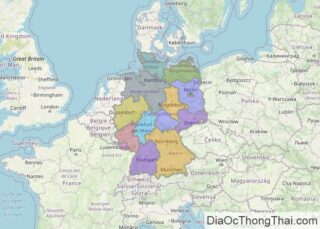
By size, Germany is the seventh-largest European country. It covers an area of 357,022 km2(137,847 sq mi). As observed on Germany’s physical map, the country’s topography varies significantly from north to south. The North European Plain extends across the country’s northern reaches; this flat, lowland terrain is dissected by numerous bogs, rivers and streams, and ... Read more
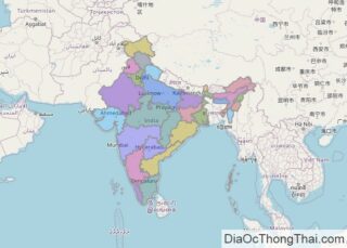
Covering a total land area of 3,287,263 sq.km, India is the world’s 7th largest and the 2nd-most populous country; that extends from the snow-capped Himalayas in the north to the tropical rain forests in the south. As observed on the map, the Himalayas form the highest mountain range in the world, and slope southwards into ... Read more
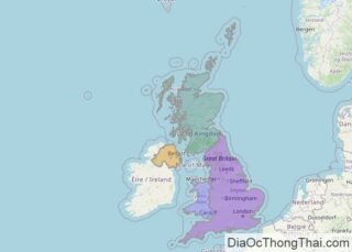
Covering an area of 244,820 sq.km, the United Kingdom is a part of the British Isles – which includes the two principal islands of Great Britain and Ireland along with several smaller offshore islands. The Great Britain is the larger of the two islands while Ireland is the 2nd largest. As observed on the map, ... Read more
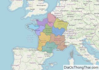
France, a Western European country that includes several overseas territories and regions, has 640,679 km2 (247,368 sq mi). As observed on France’s physical map above, the country is partially covered central, north and west by a relatively flat plain that’s punctuated by some time-worn low rolling hills and mountains. Rugged cliffs front its coastline along ... Read more
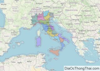
Italy is a sovereign nation occupying 301,340 km2(116,350 sq mi) in southern Europe. As observed on Italy’s physical map, mainland Italy extends southward into the Mediterranean Sea as a large boot-shaped peninsula. This extension of land has forced the creation of individual water bodies, namely the Adriatic Sea, the Ionian Sea, the Ligurian Sea, and ... Read more
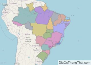
Located in central-eastern part of South America and covering an area of 8.5 million sq.km (3,287,956 sq mi), Brazil is the world’s 5th largest country as well as the largest country in South America and in the Southern Hemisphere. Brazil is divided into 5 primary geographic areas: the northern Guiana Highlands; Brazilian Highlands (or plateau) in central ... Read more
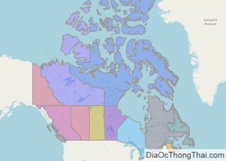
As the 2nd largest country in the world with an area of 9,984,670 sq. km (3,855,100 sq mi), Canada includes a wide variety of land regions, vast maritime terrains, thousands of islands, more lakes and inland waters than any other country, and the longest coastline on the planet. In essence, as observed on the physical map above, ... Read more
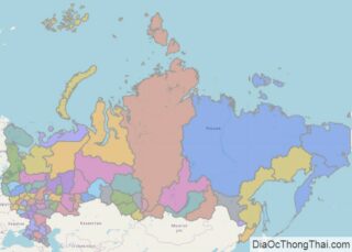
As the world’s largest country in total area, Russia showcases a wide diversity of landforms. In general terms, it is divided into some very specific geographical zones. The broad European Plain, or Volga River Plain extends from the Ural Mountains to its western borders with Europe. The central and southern areas of Russia include large ... Read more
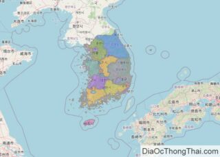
South Korea covers an area of 100,363 sq. km in the southern part of the Korean Peninsula. As observed on the physical map above, the country is very hilly and mountainous in the east, where the Taebaek Mountains dominate the landscape. The Sobaek Mountains are found in the southern part of the country.The rugged land ... Read more

