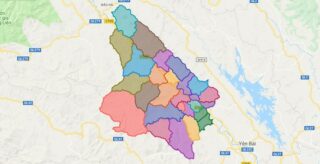
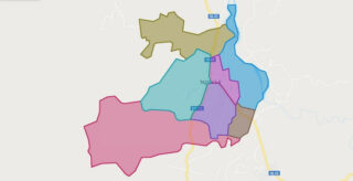
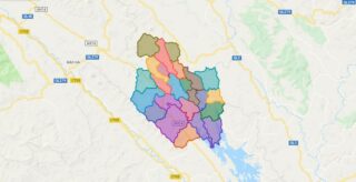
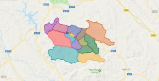
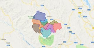
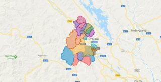
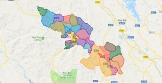
Political Map of Van Yen district – Yen Bai Interactive online map of Van Yen District. Source: Database of Global Administrative Areas, Global Map of Vietnam ©ISCGM, Ministry of Nutural Resources and Environment – Vietnam.Base Map Layer: Open Street Map (OSM), Arcgisonline, Google Map, Wmflabs. Large scale maps of Van Yen District Van Yen location ... Read more
Map of all districts of Vietnam
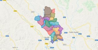
Political Map of Yen Binh district – Yen Bai Interactive online map of Yen Binh District. Source: Database of Global Administrative Areas, Global Map of Vietnam ©ISCGM, Ministry of Nutural Resources and Environment – Vietnam.Base Map Layer: Open Street Map (OSM), Arcgisonline, Google Map, Wmflabs. Large scale maps of Yen Binh District Yen Binh location ... Read more
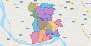
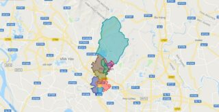
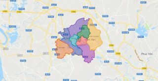
Political Map of Yen Lac district – Vinh Phuc Interactive online map of Yen Lac District. Source: Database of Global Administrative Areas, Global Map of Vietnam ©ISCGM, Ministry of Nutural Resources and Environment – Vietnam.Base Map Layer: Open Street Map (OSM), Arcgisonline, Google Map, Wmflabs. Large scale maps of Yen Lac District Yen Lac location ... Read more
Political Map of Yen Bai city – Yen Bai Interactive online map of Yen Bai City. Source: Database of Global Administrative Areas, Global Map of Vietnam ©ISCGM, Ministry of Nutural Resources and Environment – Vietnam.Base Map Layer: Open Street Map (OSM), Arcgisonline, Google Map, Wmflabs. Large scale maps of Yen Bai City Yen Bai location ... Read more
Political Map of Nghia Lo town – Yen Bai Interactive online map of Nghia Lo Town. Source: Database of Global Administrative Areas, Global Map of Vietnam ©ISCGM, Ministry of Nutural Resources and Environment – Vietnam.Base Map Layer: Open Street Map (OSM), Arcgisonline, Google Map, Wmflabs. Large scale maps of Nghia Lo Town Nghia Lo location ... Read more
Political Map of Luc Yen district – Yen Bai Interactive online map of Luc Yen District. Source: Database of Global Administrative Areas, Global Map of Vietnam ©ISCGM, Ministry of Nutural Resources and Environment – Vietnam.Base Map Layer: Open Street Map (OSM), Arcgisonline, Google Map, Wmflabs. Large scale maps of Luc Yen District Luc Yen location ... Read more
Political Map of Mu Cang Chai district – Yen Bai Interactive online map of Mu Cang Chai District. Source: Database of Global Administrative Areas, Global Map of Vietnam ©ISCGM, Ministry of Nutural Resources and Environment – Vietnam.Base Map Layer: Open Street Map (OSM), Arcgisonline, Google Map, Wmflabs. Large scale maps of Mu Cang Chai District ... Read more
Political Map of Tram Tau district – Yen Bai Interactive online map of Tram Tau District. Source: Database of Global Administrative Areas, Global Map of Vietnam ©ISCGM, Ministry of Nutural Resources and Environment – Vietnam.Base Map Layer: Open Street Map (OSM), Arcgisonline, Google Map, Wmflabs. Large scale maps of Tram Tau District Tram Tau location ... Read more
Political Map of Tran Yen district – Yen Bai Interactive online map of Tran Yen District. Source: Database of Global Administrative Areas, Global Map of Vietnam ©ISCGM, Ministry of Nutural Resources and Environment – Vietnam.Base Map Layer: Open Street Map (OSM), Arcgisonline, Google Map, Wmflabs. Large scale maps of Tran Yen District Tran Yen location ... Read more
Political Map of Van Chan district – Yen Bai Interactive online map of Van Chan District. Source: Database of Global Administrative Areas, Global Map of Vietnam ©ISCGM, Ministry of Nutural Resources and Environment – Vietnam.Base Map Layer: Open Street Map (OSM), Arcgisonline, Google Map, Wmflabs. Large scale maps of Van Chan District Van Chan location ... Read more
Political Map of Phuc Yen city – Vinh Phuc Interactive online map of Phuc Yen Town. Source: Database of Global Administrative Areas, Global Map of Vietnam ©ISCGM, Ministry of Nutural Resources and Environment – Vietnam.Base Map Layer: Open Street Map (OSM), Arcgisonline, Google Map, Wmflabs. Large scale maps of Phuc Yen Town Phuc Yen location ... Read more
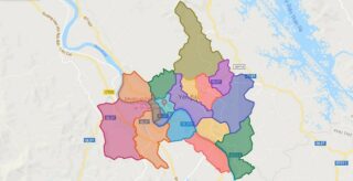
Political Map of Vinh Yen city – Vinh Phuc Interactive online map of Vinh Yen City. Source: Database of Global Administrative Areas, Global Map of Vietnam ©ISCGM, Ministry of Nutural Resources and Environment – Vietnam.Base Map Layer: Open Street Map (OSM), Arcgisonline, Google Map, Wmflabs. Large scale maps of Vinh Yen City Vinh Yen location ... Read more
