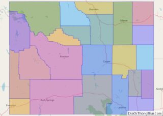
Wyoming (/waɪˈoʊmɪŋ/ (listen)) is a state in the Mountain West subregion of the Western United States. It is bordered by Montana to the north and northwest, South Dakota and Nebraska to the east, Idaho to the west, Utah to the southwest, and Colorado to the south. With a population of 576,851 in the 2020 United ... Read more
All US States Map
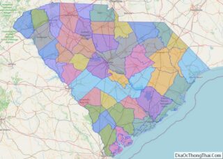
South Carolina (/ˌkærəˈlaɪnə/ (listen)) is a state in the coastal Southeastern region of the United States. It is bordered to the north by North Carolina, to the southeast by the Atlantic Ocean, and to the southwest by Georgia across the Savannah River. South Carolina is the 40th most extensive and 23rd most populous U.S. state ... Read more
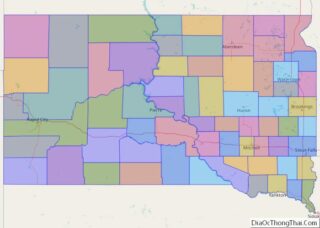
South Dakota (/- dəˈkoʊtə/ (listen); Sioux: Dakȟóta itókaga, pronounced [daˈkˣota iˈtokaga]) is a U.S. state in the North Central region of the United States. It is also part of the Great Plains. South Dakota is named after the Lakota and Dakota Sioux Native American tribes, who comprise a large portion of the population with nine reservations ... Read more
Tennessee (/ˌtɛnɪˈsiː/ (listen) TEN-ih-SEE, locally /ˈtɛnɪsi/ TEN-iss-ee), officially the State of Tennessee, is a landlocked state in the Southeastern region of the United States. Tennessee is the 36th-largest by area and the 15th-most populous of the 50 states. It is bordered by Kentucky to the north, Virginia to the northeast, North Carolina to the east, ... Read more
Texas (/ˈtɛksəs/, also locally /ˈtɛksɪz/; Spanish: Texas, Tejas) is a state in the South Central region of the United States. At 268,596 square miles (695,660 km), and with more than 30 million residents in 2022, it is the second-largest U.S. state by both area (after Alaska) and population (after California). Texas shares borders with the states ... Read more
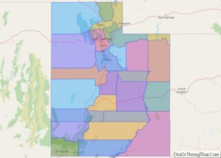
Utah (/ˈjuːtɑː/ YOO-tah, /ˈjuːtɔː/ (listen) YOO-taw) is a landlocked state in the Mountain West subregion of the Western United States. It is bordered to its east by Colorado, to its northeast by Wyoming, to its north by Idaho, to its south by Arizona, and to its west by Nevada. Utah also touches a corner of ... Read more
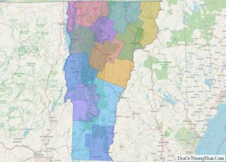
Vermont (/vərˈmɒnt/ (listen)) is a state in the New England region of the Northeastern United States. Vermont is bordered by the states of Massachusetts to the south, New Hampshire to the east, New York to the west, and the Canadian province of Quebec to the north. Admitted to the Union in 1791 as the 14th ... Read more
Virginia, officially the Commonwealth of Virginia, is a state in the Mid-Atlantic and Southeastern regions of the United States between the Atlantic Coast and the Appalachian Mountains. Its geography and climate are shaped by the Blue Ridge Mountains and the Chesapeake Bay. The state’s capital is Richmond. Its most-populous city is Virginia Beach, and Fairfax ... Read more
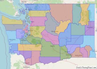
Washington (/ˈwɒʃɪŋtən/ (listen)), officially the State of Washington and often referred to as Washington state to distinguish it from the USA’s capital, Washington, D.C., is a state in the Pacific Northwest region of the Western United States. Named for George Washington—the first U.S. president—the state was formed from the western part of the Washington Territory, ... Read more
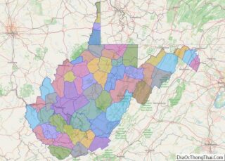
West Virginia is a state in the Appalachian, Mid-Atlantic and Southeastern regions of the United States. It is bordered by Pennsylvania to the north and east, Maryland to the east and northeast, Virginia to the southeast, Kentucky to the southwest, and Ohio to the northwest. West Virginia is the 10th-smallest state by area and ranks ... Read more
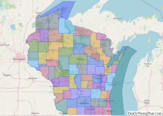
Wisconsin (/wɪˈskɒnsɪn/ (listen)) is a state in the upper Midwestern United States. Wisconsin is the 25th-largest state by total area and the 20th-most populous. It is bordered by Minnesota to the west, Iowa to the southwest, Illinois to the south, Lake Michigan to the east, Michigan to the northeast, and Lake Superior to the north. ... Read more
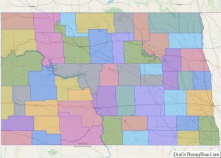
North Dakota ( /- dəˈkoʊtə/ (listen)) is a U.S. state in the Upper Midwest, named after the indigenous Dakota Sioux. North Dakota is bordered by the Canadian provinces of Saskatchewan and Manitoba to the north and by the U.S. states of Minnesota to the east, South Dakota to the south, and Montana to the west. ... Read more
