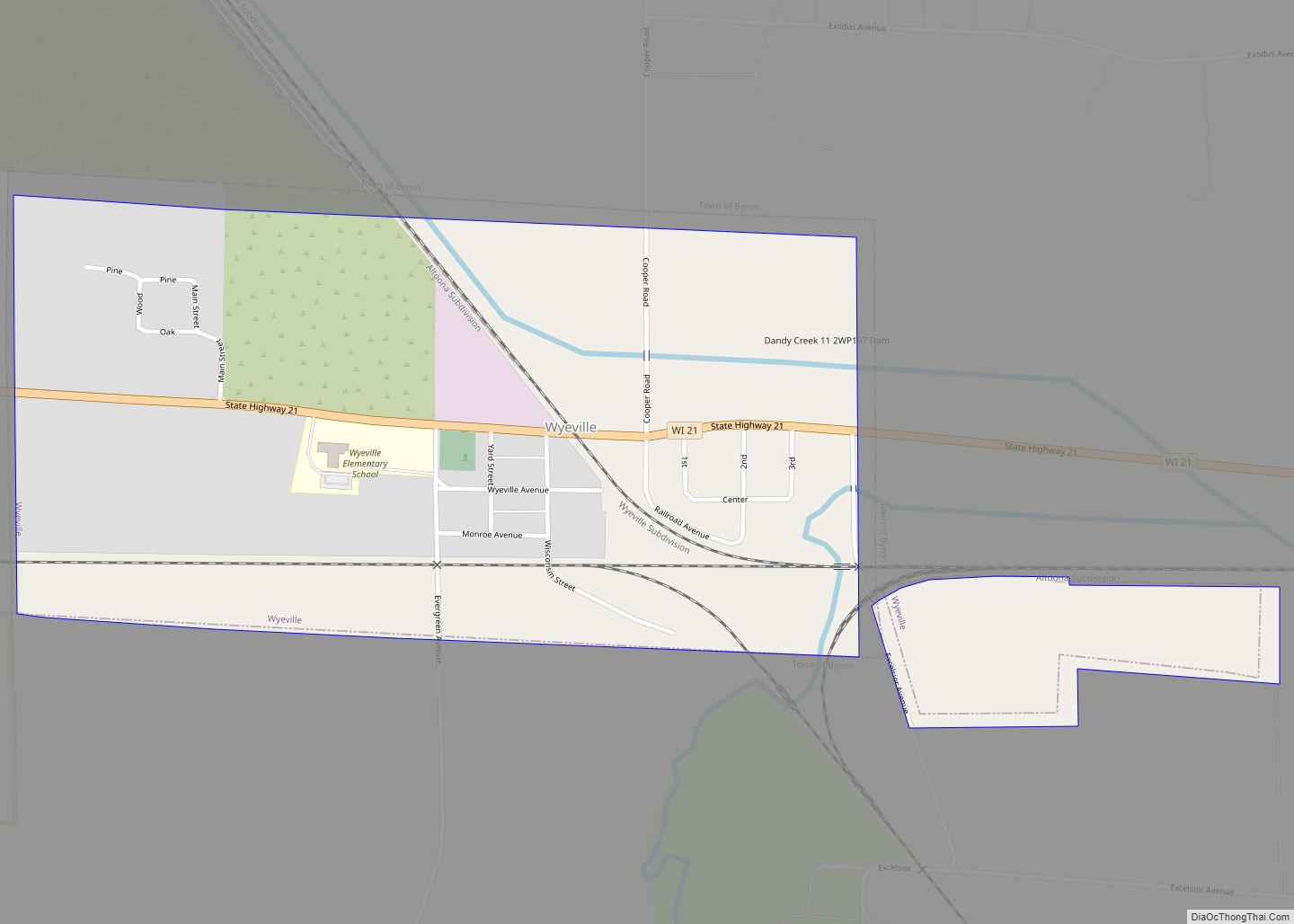
Map of Wilton village, Wisconsin

Map of Wilton village, Wisconsin

Wilton is a town in Monroe County, Wisconsin, United States. The population was 925 at the 2000 census. The Village of Wilton is located partially within the town. Wilton village overview: Name: Wilton village LSAD Code: 47 LSAD Description: village (suffix) State: Wisconsin County: Monroe County FIPS code: 5587525 Online Interactive Map Wilton online map. … Read more

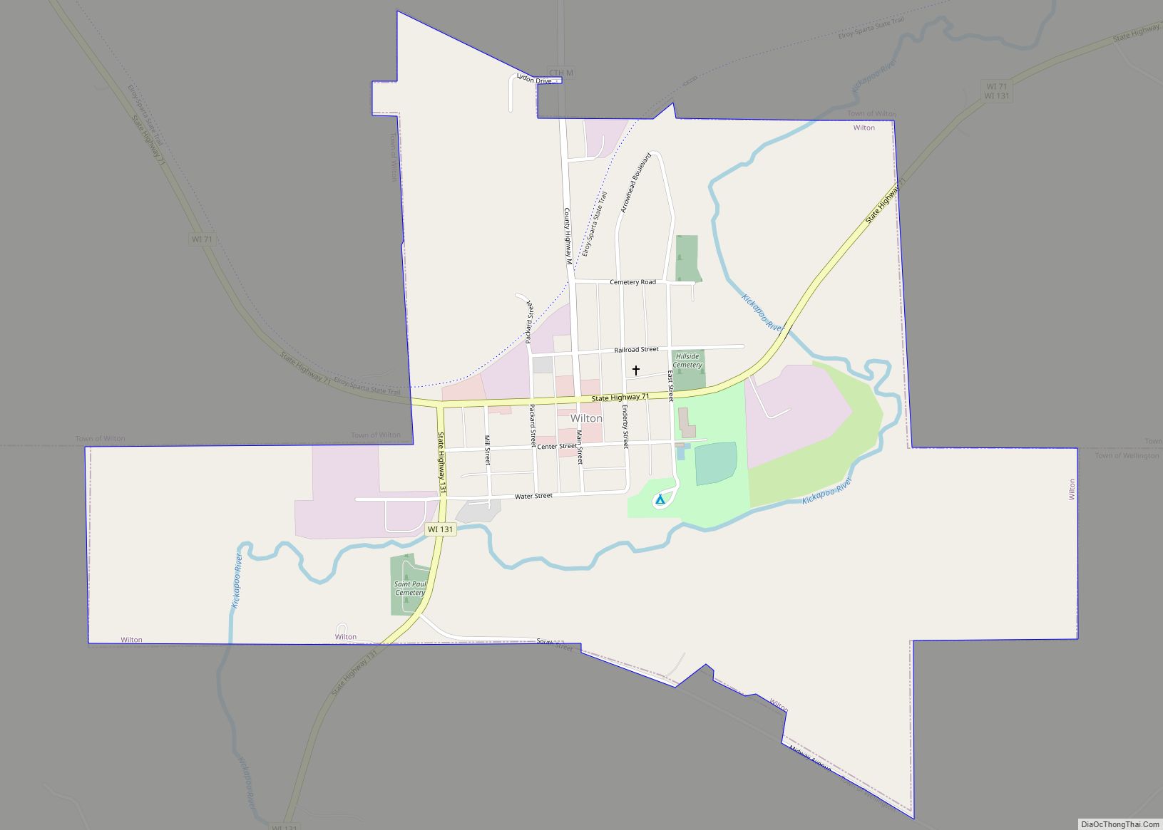
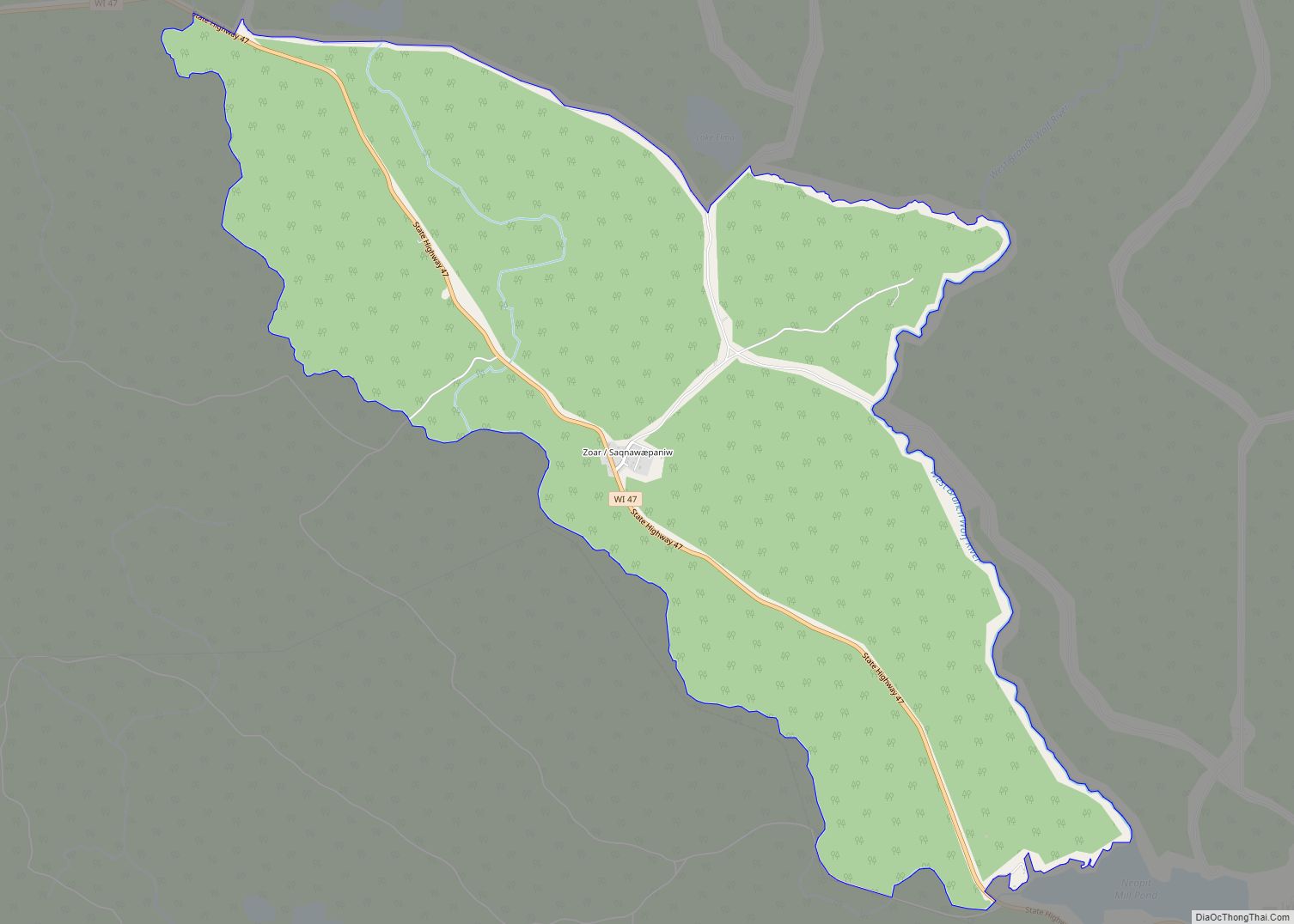
Map of Zoar CDP, Wisconsin

Map of Zoar CDP, Wisconsin

Zoar (Menominee: Saqnawæpaniw) is a census-designated place (CDP) and unincorporated community in Menominee County, Wisconsin, United States. The population was 107 at the 2020 census. Zoar is located along Wisconsin Highway 47, approximately 3 miles (4.8 km) northwest of Neopit. Situated within traditional Menominee territory, it is known in the Menominee language as Saqnawehnaen, a name … Read more

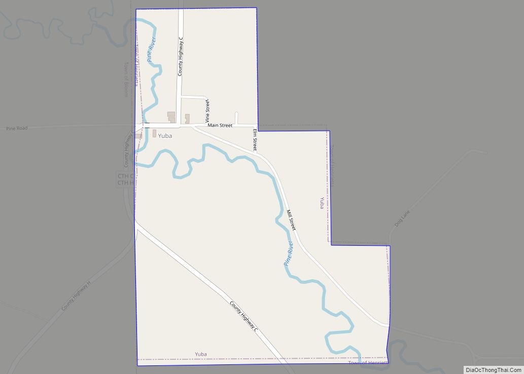
Map of Yuba village

Map of Yuba village

Yuba is a village in Richland County, Wisconsin, United States. The population was 74 at the 2010 census. Yuba is 11 miles southwest of Hillsboro and 17 miles north of Richland Center. County Hwy C runs through the village. South of Yuba, looking north Inside St. Wenceslaus Church North of Yuba (population 77), looking south … Read more

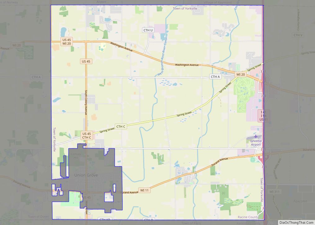
Map of Yorkville village, Wisconsin

Map of Yorkville village, Wisconsin

Yorkville is a village in Racine County, Wisconsin, United States. The population was 3,246 at the 2020 census. The unincorporated communities of Ives Grove, Sylvania, and Yorkville are located in the town. Yorkville village overview: Name: Yorkville village LSAD Code: 47 LSAD Description: village (suffix) State: Wisconsin County: Racine County Elevation: 709 ft (216 m) Total Area: … Read more

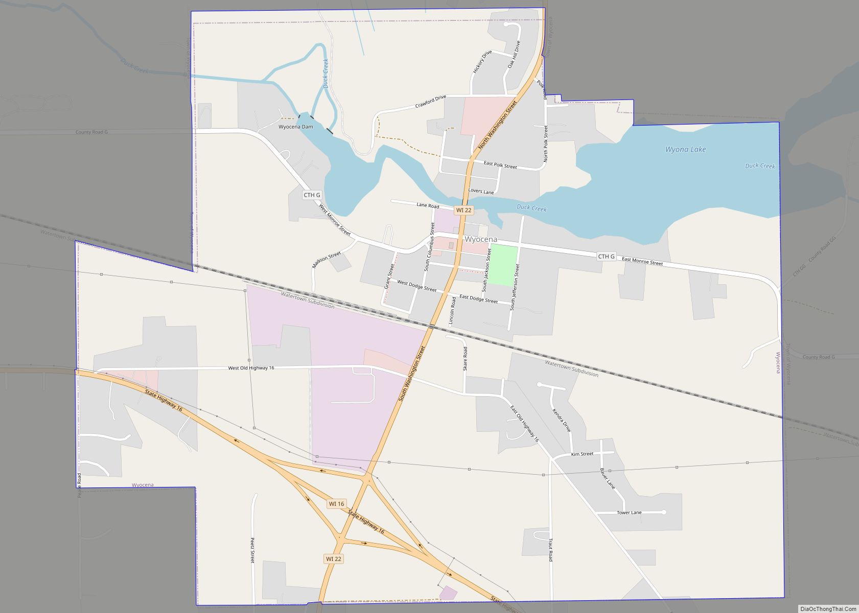
Map of Wyocena village

Map of Wyocena village

Wyocena is a town in Columbia County, Wisconsin, United States. The population was 619 at the 2000 Census. The Village of Wyocena is located within the town. Wyocena village overview: Name: Wyocena village LSAD Code: 47 LSAD Description: village (suffix) State: Wisconsin County: Columbia County FIPS code: 5589300 Online Interactive Map Wyocena online map. Source: … Read more

Map of Wyeville village

Map of Wyeville village

Wyeville is a village in Monroe County, Wisconsin, United States. It is located on Wisconsin Highway 21. The population was 147 at the 2010 census. Wyeville village overview: Name: Wyeville village LSAD Code: 47 LSAD Description: village (suffix) State: Wisconsin County: Monroe County Elevation: 919 ft (280 m) Total Area: 0.56 sq mi (1.46 km²) Land Area: 0.56 sq mi (1.46 km²) Water … Read more