Map of Woden city

Map of Woden city

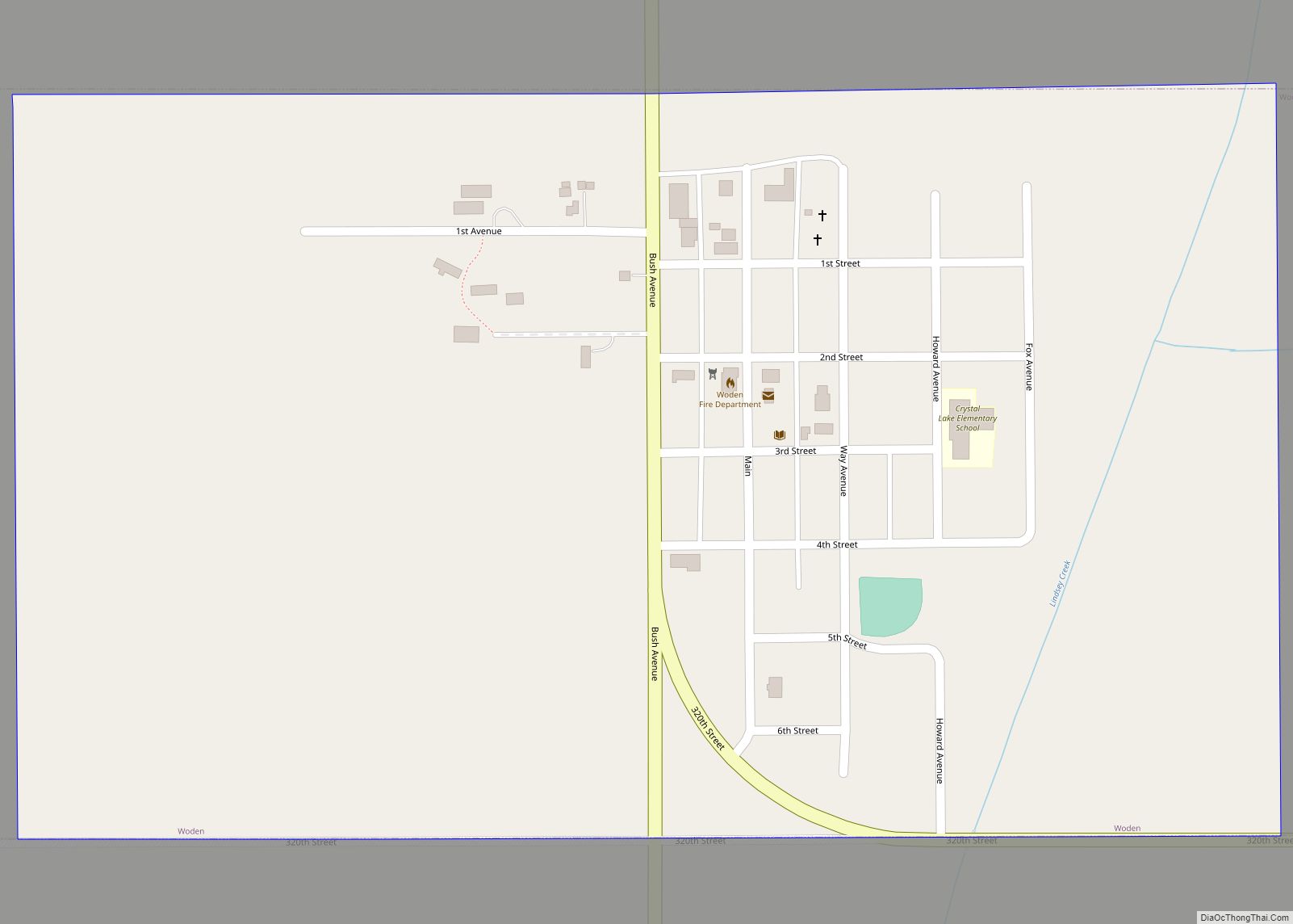
Woden is a city in Hancock County, Iowa, United States. The population was 188 at the time of the 2020 census. Woden city overview: Name: Woden city LSAD Code: 25 LSAD Description: city (suffix) State: Iowa County: Hancock County Elevation: 1,230 ft (375 m) Total Area: 0.49 sq mi (1.28 km²) Land Area: 0.49 sq mi (1.28 km²) Water Area: 0.00 sq mi (0.00 km²) Total … Read more

Map of Wiota city

Map of Wiota city, Iowa

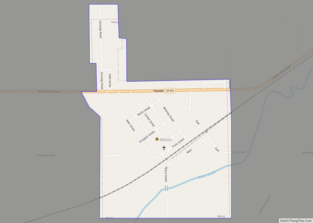
Wiota is a city in Cass County, Iowa, United States. The population was 91 at the time of the 2020 census. Wiota city overview: Name: Wiota city LSAD Code: 25 LSAD Description: city (suffix) State: Iowa County: Cass County Elevation: 1,217 ft (371 m) Total Area: 0.30 sq mi (0.77 km²) Land Area: 0.30 sq mi (0.77 km²) Water Area: 0.00 sq mi (0.00 km²) Total … Read more
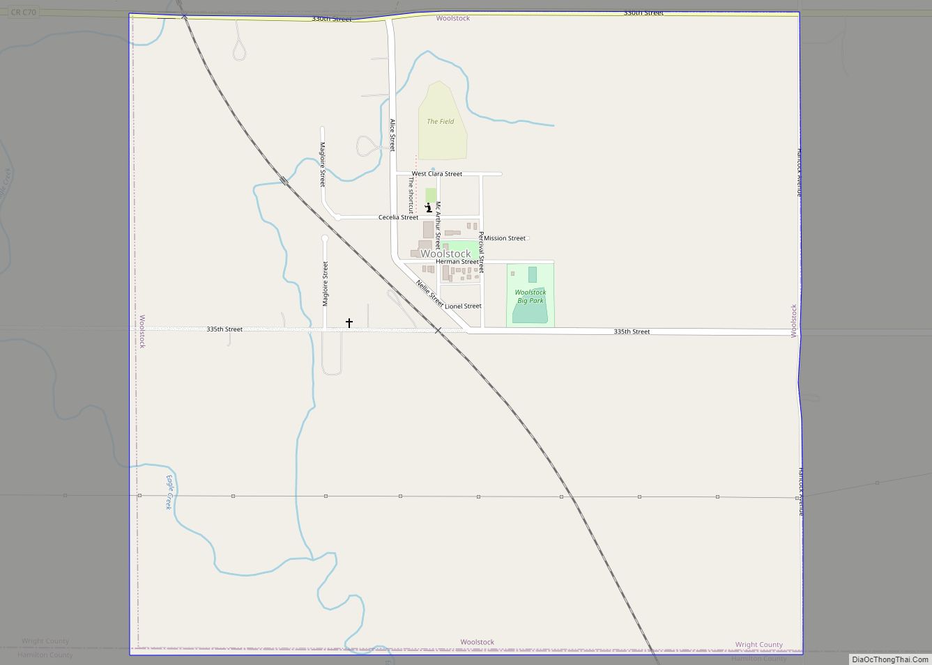
Map of Woolstock city

Map of Woolstock city

Woolstock is a city in Wright County, Iowa, United States. The population was 144 at the time of the 2020 census. Woolstock city overview: Name: Woolstock city LSAD Code: 25 LSAD Description: city (suffix) State: Iowa County: Wright County Elevation: 1,109 ft (338 m) Total Area: 1.05 sq mi (2.71 km²) Land Area: 1.05 sq mi (2.71 km²) Water Area: 0.00 sq mi (0.00 km²) Total … Read more
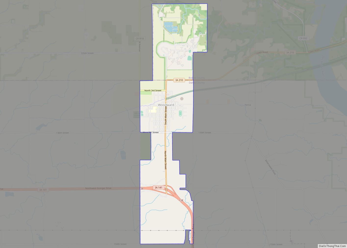
Map of Woodward city

Map of Woodward city, Iowa

Woodward is a city in Dallas County, Iowa, United States. The population was 1,346 at the time of the 2020 census. It is part of the Des Moines–West Des Moines Metropolitan Statistical Area. Woodward is also home to the Woodward-Granger Community School District’s middle school and high school, the elementary school being located in Granger. … Read more

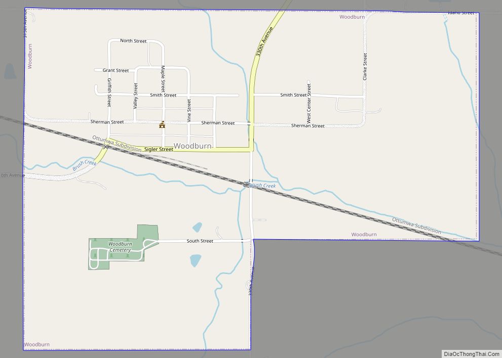
Map of Woodburn city

Map of Woodburn city, Iowa

Woodburn is a city in Clarke County, Iowa, United States. The population was 146 at the time of the 2020 census. Woodburn city overview: Name: Woodburn city LSAD Code: 25 LSAD Description: city (suffix) State: Iowa County: Clarke County Elevation: 978 ft (298 m) Total Area: 0.63 sq mi (1.63 km²) Land Area: 0.63 sq mi (1.63 km²) Water Area: 0.00 sq mi (0.00 km²) Total … Read more
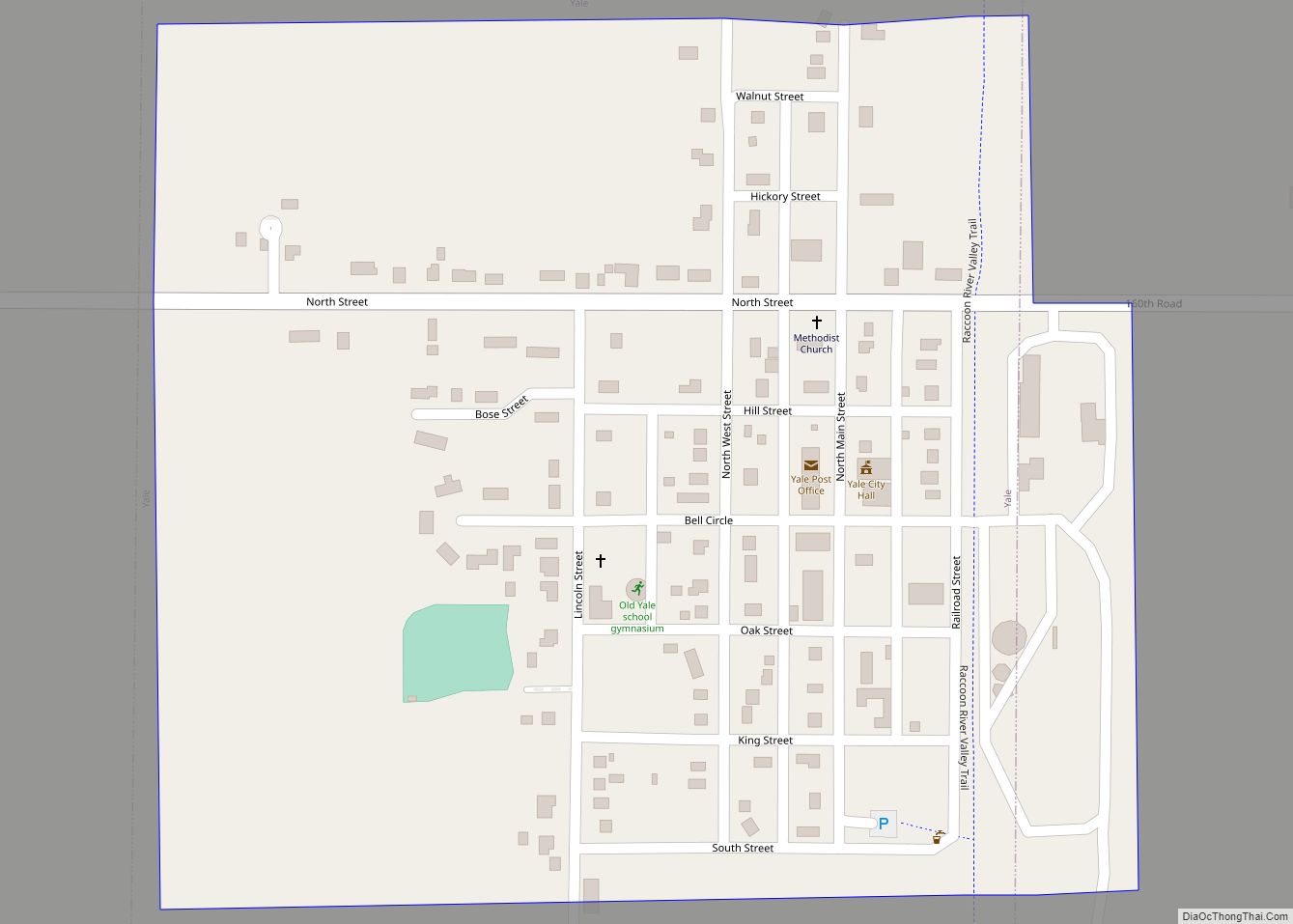
Map of Yale city

Map of Yale city, Iowa

Yale is a city in Guthrie County, Iowa, United States. The population was 267 in the 2020 census, a decline from 287 in 2000. It is part of the Des Moines–West Des Moines Metropolitan Statistical Area. Yale city overview: Name: Yale city LSAD Code: 25 LSAD Description: city (suffix) State: Iowa County: Guthrie County Incorporated: … Read more

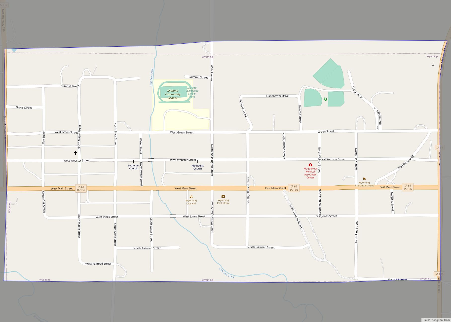
Map of Wyoming city, Iowa

Map of Wyoming city, Iowa

Wyoming is a city in Jones County, Iowa, United States. The population was 523 at the time of the 2020 census. It is part of the Cedar Rapids Metropolitan Statistical Area. Wyoming city overview: Name: Wyoming city LSAD Code: 25 LSAD Description: city (suffix) State: Iowa County: Jones County Elevation: 817 ft (249 m) Total Area: 0.48 sq mi … Read more

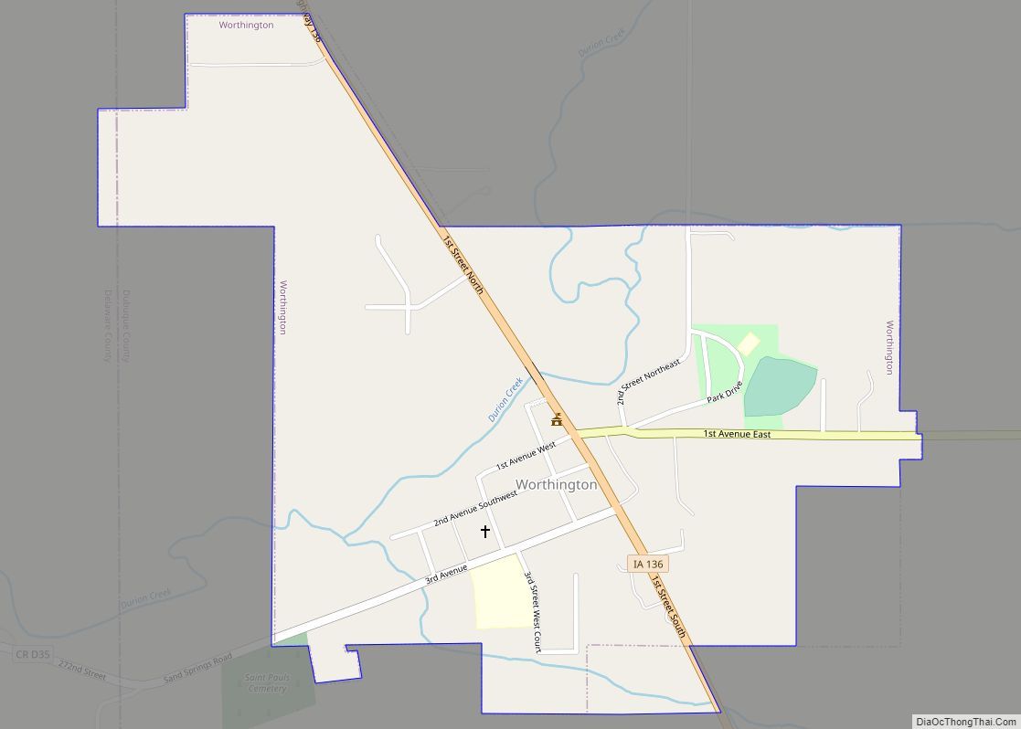
Map of Worthington city

Map of Worthington city, Iowa

Worthington is a city in Dubuque County, Iowa, United States. The population was 382 at the time of the 2020 census, up from 381 in 2000. Iowa Highway 136 passes through Worthington, which is situated north of Cascade and south of Dyersville. Worthington city overview: Name: Worthington city LSAD Code: 25 LSAD Description: city (suffix) … Read more

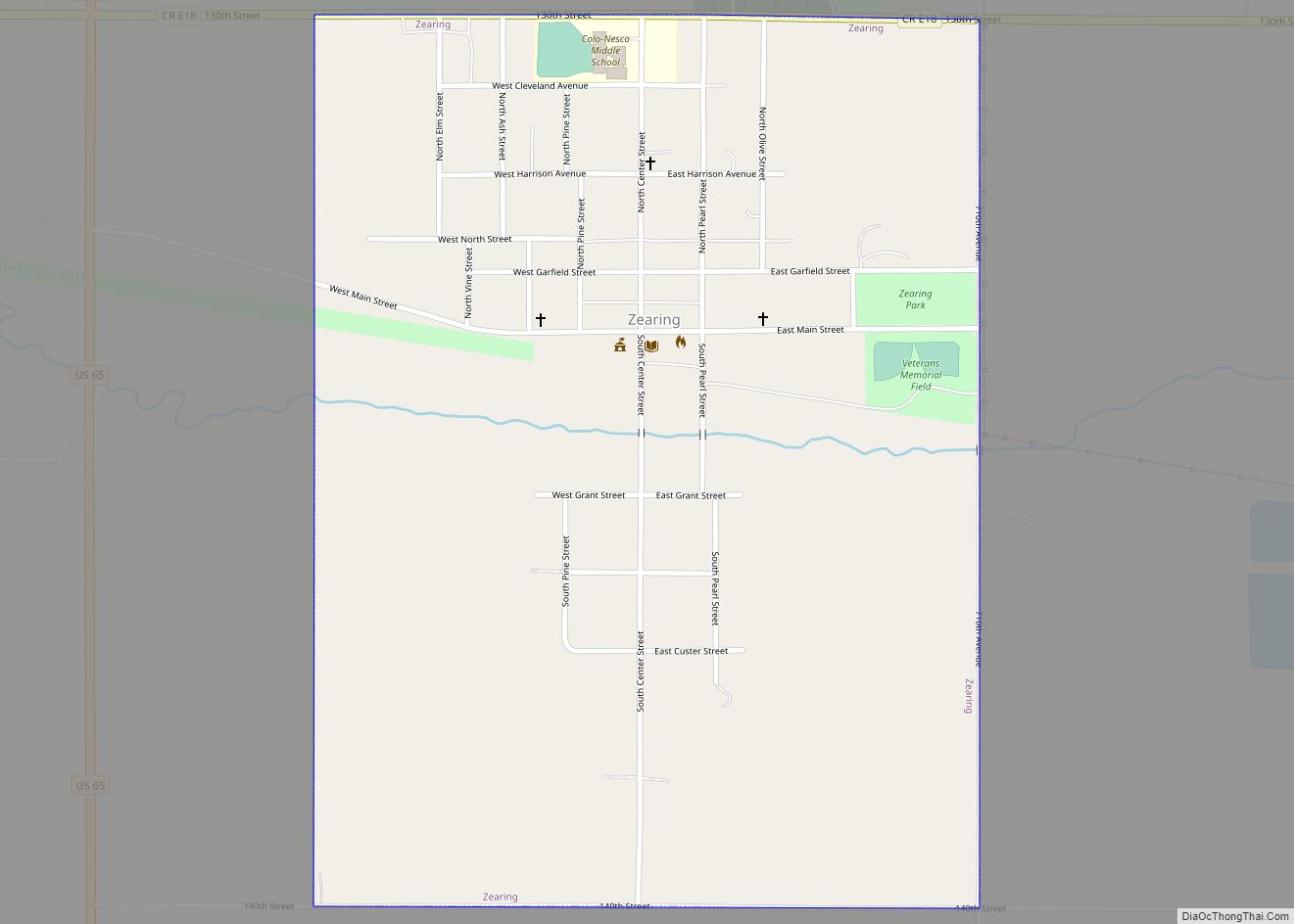
Map of Zearing city

Map of Zearing city

Zearing is a city in Story County, Iowa, United States. The population was 528 at the time of the 2020 census. Zearing city overview: Name: Zearing city LSAD Code: 25 LSAD Description: city (suffix) State: Iowa County: Story County Elevation: 1,056 ft (322 m) Total Area: 0.75 sq mi (1.94 km²) Land Area: 0.75 sq mi (1.94 km²) Water Area: 0.00 sq mi (0.00 km²) Total … Read more
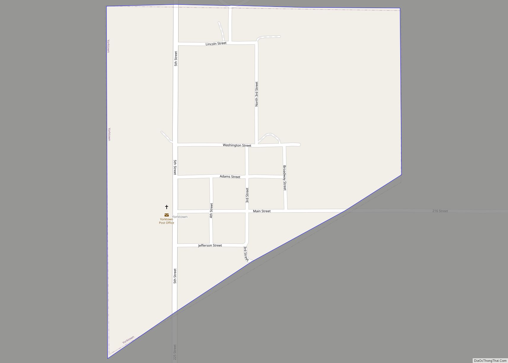
Map of Yorktown city

Map of Yorktown city, Iowa

Yorktown is a city in Page County, Iowa, United States. The population was 60 at the time of the 2020 census. Yorktown city overview: Name: Yorktown city LSAD Code: 25 LSAD Description: city (suffix) State: Iowa County: Page County Elevation: 1,089 ft (332 m) Total Area: 0.27 sq mi (0.70 km²) Land Area: 0.27 sq mi (0.70 km²) Water Area: 0.00 sq mi (0.00 km²) Total … Read more
Map of Yetter city

Map of Yetter city

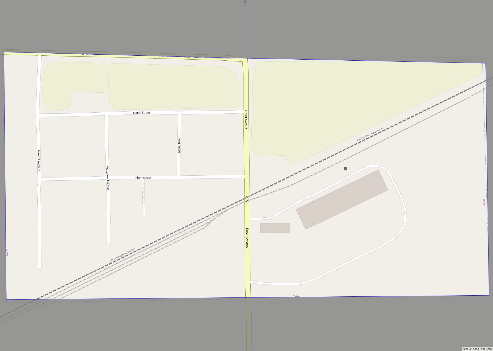
Yetter is a city in Calhoun County, Iowa, United States. The population was 19 at the time of the 2020 census. Yetter city overview: Name: Yetter city LSAD Code: 25 LSAD Description: city (suffix) State: Iowa County: Calhoun County Elevation: 1,230 ft (375 m) Total Area: 0.13 sq mi (0.33 km²) Land Area: 0.13 sq mi (0.33 km²) Water Area: 0.00 sq mi (0.00 km²) Total … Read more
Map of Zwingle city

Map of Zwingle city

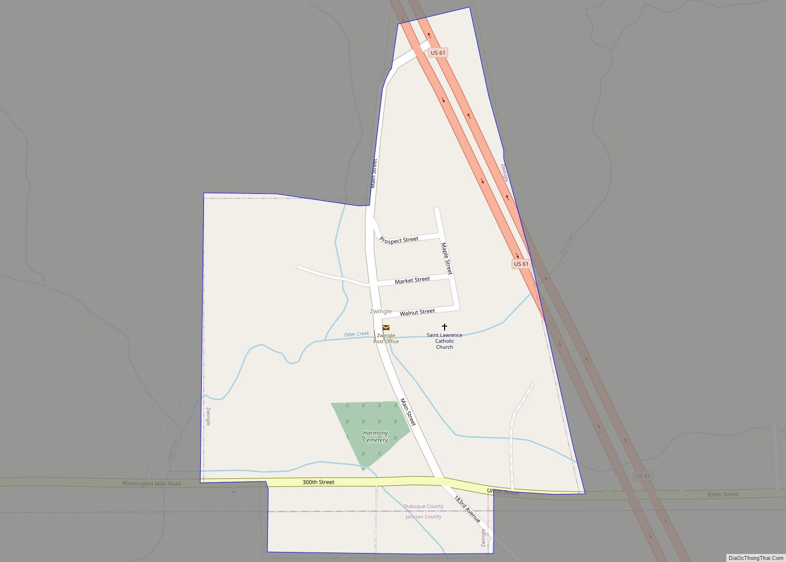
Zwingle is a city in Dubuque and Jackson counties in the U.S. state of Iowa. The population was 84 at the time of the 2020 census, down from 100 in 2000. Zwingle city overview: Name: Zwingle city LSAD Code: 25 LSAD Description: city (suffix) State: Iowa County: Dubuque County, Jackson County Incorporated: December 17,1900 Elevation: … Read more