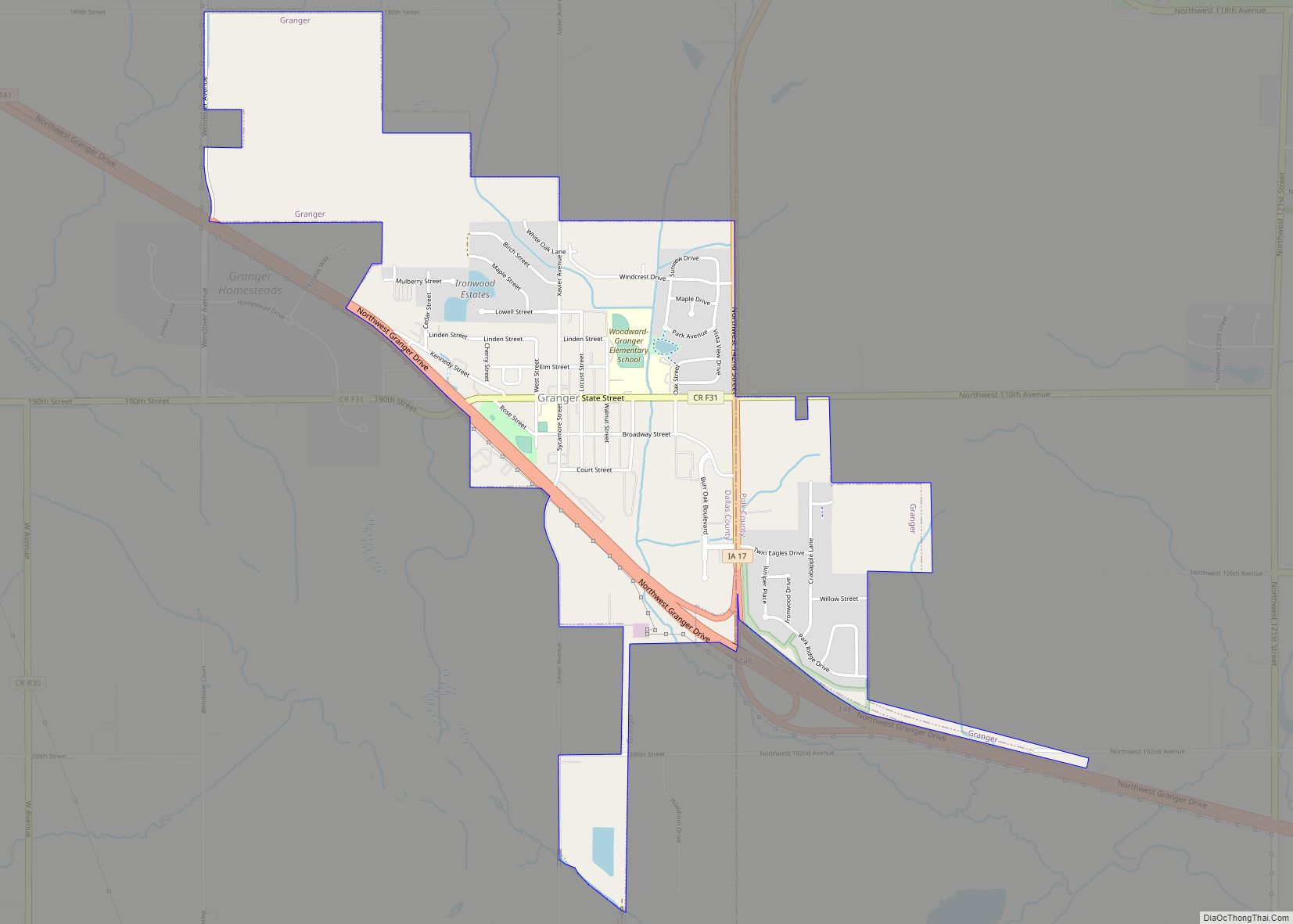
Woodward is a city in Dallas County, Iowa, United States. The population was 1,346 at the time of the 2020 census. It is part of the Des Moines–West Des Moines Metropolitan Statistical Area. Woodward is also home to the Woodward-Granger Community School District’s middle school and high school, the elementary school being located in Granger.
| Name: | Woodward city |
|---|---|
| LSAD Code: | 25 |
| LSAD Description: | city (suffix) |
| State: | Iowa |
| County: | Dallas County |
| Elevation: | 1,070 ft (326 m) |
| Total Area: | 3.65 sq mi (9.46 km²) |
| Land Area: | 3.65 sq mi (9.46 km²) |
| Water Area: | 0.00 sq mi (0.00 km²) |
| Total Population: | 1,346 |
| Population Density: | 368.36/sq mi (142.24/km²) |
| ZIP code: | 50276 |
| Area code: | 515 |
| FIPS code: | 1986970 |
| GNISfeature ID: | 0463199 |
| Website: | www.woodwardia.org |
Online Interactive Map
Click on ![]() to view map in "full screen" mode.
to view map in "full screen" mode.
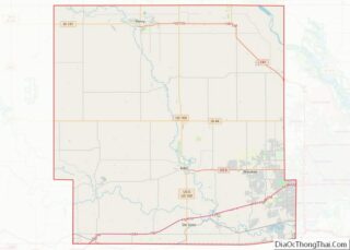
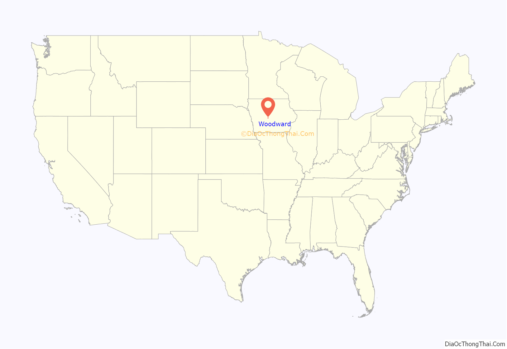
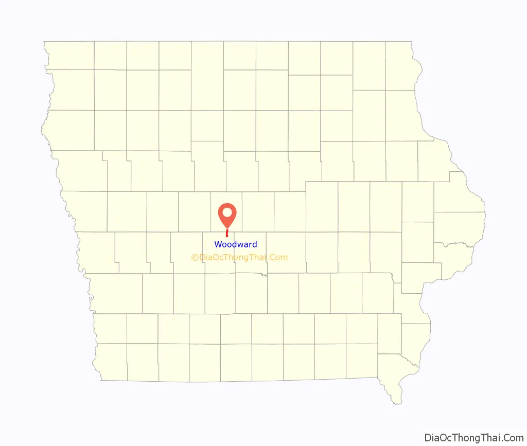
Woodward location map. Where is Woodward city?
History
“The town of Woodward was born when the Chicago, Milwaukee, and St. Paul Railway Co reconstructed its lines through the community the depot was constructed. The original name for the town was decided upon as Colton, another town had already adopted the name so the name was changed to Woodward. The City was incorporated in August 1883. The first Council meeting was on December 18, 1883 called to order by Mayor W.S. Craft.”
An F-2 tornado struck Woodward, the city of Ames, and several other small Iowan communities on November 12, 2005, devastating many homes in the southeast and east parts of town. There were no deaths in Woodward, although there was one in Stratford. Discovery Channel’s series Destroyed In Seconds showed the natural disaster in one of its episodes. During the first season of Dirty Jobs they visited a pig farmer from Woodward in the episode.
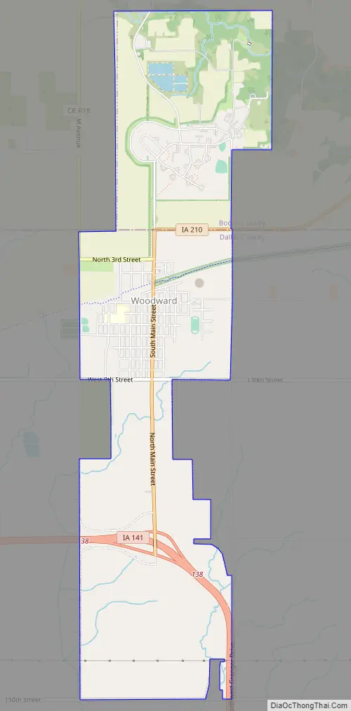
Woodward Road Map
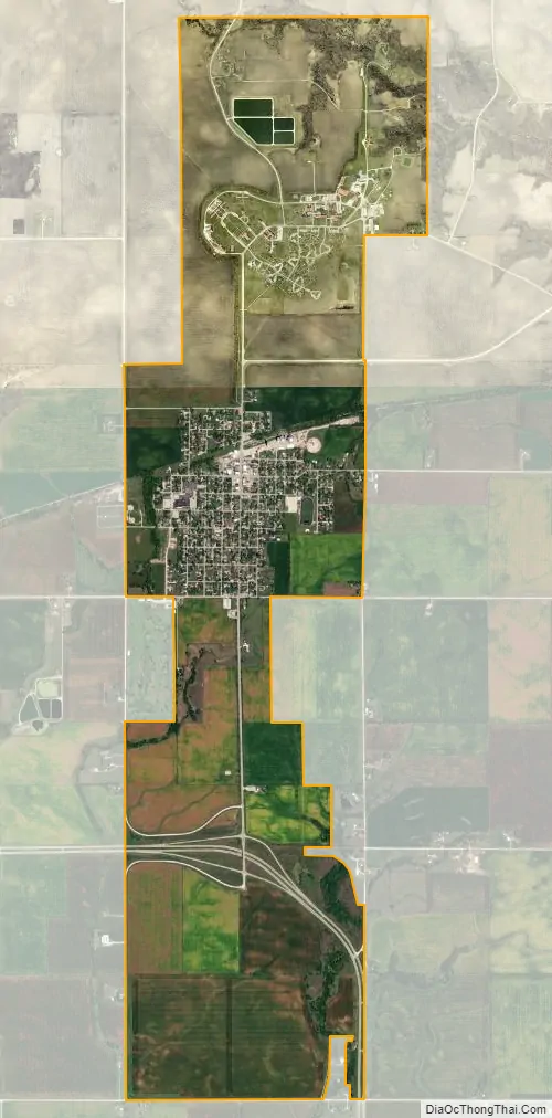
Woodward city Satellite Map
Geography
Woodward is located at 41°51′19″N 93°55′23″W / 41.85528°N 93.92306°W / 41.85528; -93.92306 (41.855230, -93.923068).
According to the United States Census Bureau, the city has a total area of 2.46 square miles (6.37 km), all land.
See also
Map of Iowa State and its subdivision:- Adair
- Adams
- Allamakee
- Appanoose
- Audubon
- Benton
- Black Hawk
- Boone
- Bremer
- Buchanan
- Buena Vista
- Butler
- Calhoun
- Carroll
- Cass
- Cedar
- Cerro Gordo
- Cherokee
- Chickasaw
- Clarke
- Clay
- Clayton
- Clinton
- Crawford
- Dallas
- Davis
- Decatur
- Delaware
- Des Moines
- Dickinson
- Dubuque
- Emmet
- Fayette
- Floyd
- Franklin
- Fremont
- Greene
- Grundy
- Guthrie
- Hamilton
- Hancock
- Hardin
- Harrison
- Henry
- Howard
- Humboldt
- Ida
- Iowa
- Jackson
- Jasper
- Jefferson
- Johnson
- Jones
- Keokuk
- Kossuth
- Lee
- Linn
- Louisa
- Lucas
- Lyon
- Madison
- Mahaska
- Marion
- Marshall
- Mills
- Mitchell
- Monona
- Monroe
- Montgomery
- Muscatine
- O'Brien
- Osceola
- Page
- Palo Alto
- Plymouth
- Pocahontas
- Polk
- Pottawattamie
- Poweshiek
- Ringgold
- Sac
- Scott
- Shelby
- Sioux
- Story
- Tama
- Taylor
- Union
- Van Buren
- Wapello
- Warren
- Washington
- Wayne
- Webster
- Winnebago
- Winneshiek
- Woodbury
- Worth
- Wright
- Alabama
- Alaska
- Arizona
- Arkansas
- California
- Colorado
- Connecticut
- Delaware
- District of Columbia
- Florida
- Georgia
- Hawaii
- Idaho
- Illinois
- Indiana
- Iowa
- Kansas
- Kentucky
- Louisiana
- Maine
- Maryland
- Massachusetts
- Michigan
- Minnesota
- Mississippi
- Missouri
- Montana
- Nebraska
- Nevada
- New Hampshire
- New Jersey
- New Mexico
- New York
- North Carolina
- North Dakota
- Ohio
- Oklahoma
- Oregon
- Pennsylvania
- Rhode Island
- South Carolina
- South Dakota
- Tennessee
- Texas
- Utah
- Vermont
- Virginia
- Washington
- West Virginia
- Wisconsin
- Wyoming