Map of Akron city, Iowa

Map of Akron city, Iowa

Akron is a city in Plymouth County, Iowa, United States. The population was 1,558 at the 2020 census. Akron city overview: Name: Akron city LSAD Code: 25 LSAD Description: city (suffix) State: Iowa County: Plymouth County Elevation: 1,142 ft (348 m) Total Area: 1.23 sq mi (3.19 km²) Land Area: 1.23 sq mi (3.19 km²) Water Area: 0.00 sq mi (0.00 km²) Total Population: 1,558 Population … Read more

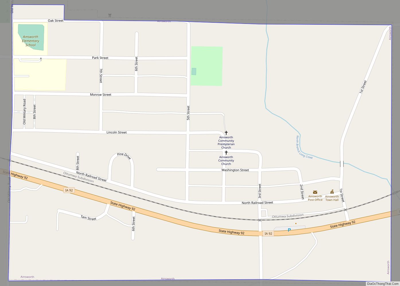
Map of Ainsworth city

Map of Ainsworth city, Iowa

Ainsworth is a city in Washington County, Iowa, United States. It is a part of the Iowa City, Iowa Metropolitan Statistical Area. The population was 511 at the 2020 census. It is part of the Highland Community School District. Ainsworth city overview: Name: Ainsworth city LSAD Code: 25 LSAD Description: city (suffix) State: Iowa County: … Read more

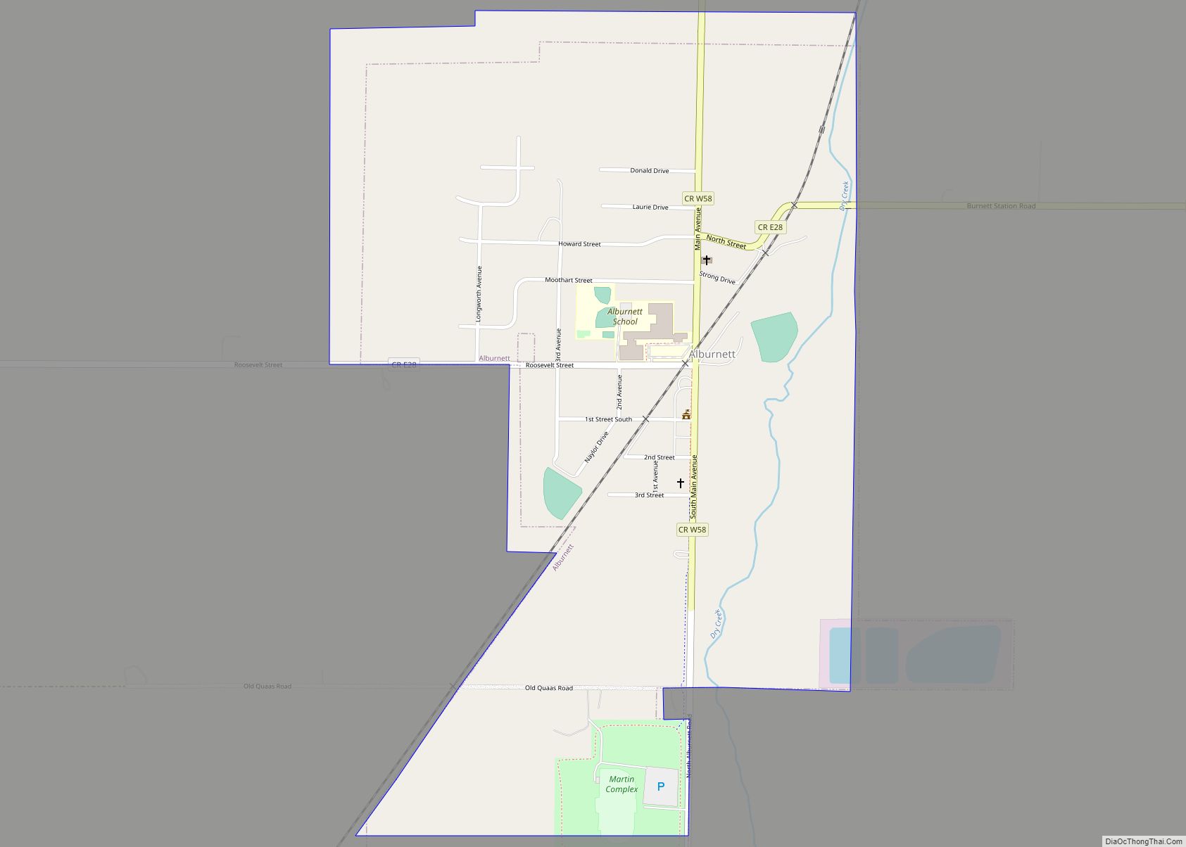
Map of Alburnett city

Map of Alburnett city

Alburnett is a city in Linn County, Iowa. The population was 675 at the time of the 2020 census. It is part of the Cedar Rapids metropolitan area. Alburnett city overview: Name: Alburnett city LSAD Code: 25 LSAD Description: city (suffix) State: Iowa County: Linn County Incorporated: June 29, 1912 Elevation: 883 ft (269 m) Total Area: … Read more

Map of Albion city, Iowa

Map of Albion city, Iowa

Albion is a city in Marshall County, Iowa, United States. The population was 448 at the 2020 census. Albion city overview: Name: Albion city LSAD Code: 25 LSAD Description: city (suffix) State: Iowa County: Marshall County Elevation: 958 ft (292 m) Total Area: 0.60 sq mi (1.56 km²) Land Area: 0.60 sq mi (1.56 km²) Water Area: 0.00 sq mi (0.00 km²) Total Population: 448 Population … Read more

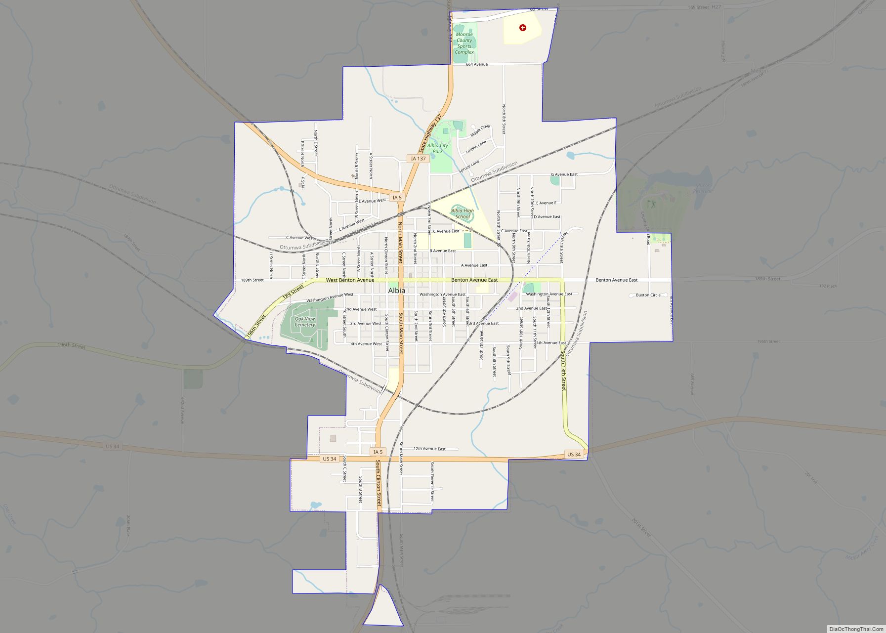
Map of Albia city

Map of Albia city

Albia is a city in and the county seat of Monroe County, in southern Iowa, United States. The population was 3,721 at the 2020 census. The city of Albia is known for its historic square and city-wide Victorian Architecture. Albia is also known for the annual “Restoration” days celebration which commemorates the refurbishment of the … Read more

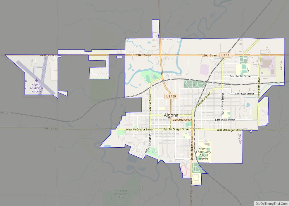
Map of Algona city

Map of Algona city, Iowa

Algona is the county seat of Kossuth County, Iowa, United States. The population was 5,487 at the 2020 census. Ambrose A. Call State Park is located two miles southwest of the city. Algona city overview: Name: Algona city LSAD Code: 25 LSAD Description: city (suffix) State: Iowa County: Kossuth County Elevation: 1,194 ft (364 m) Total Area: … Read more

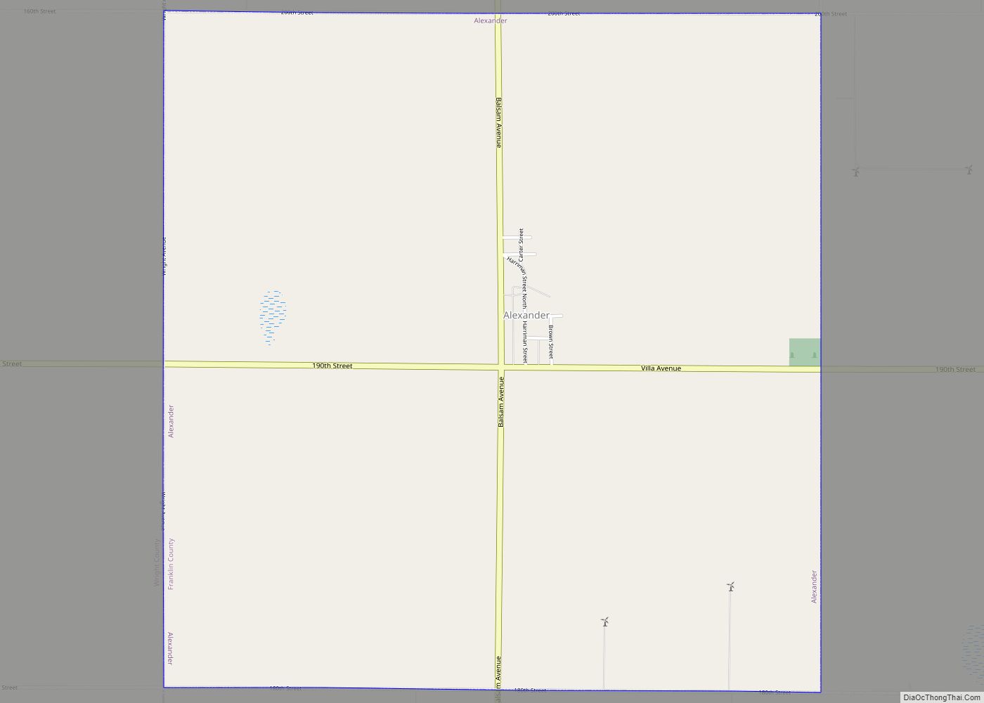
Map of Alexander city, Iowa

Map of Alexander city, Iowa

Alexander is a city in Franklin County, Iowa, United States. The population was 164 at the 2020 census. Alexander is the hometown of Iowa Congressman Tom Latham who served from 1995 to 2015. Alexander city overview: Name: Alexander city LSAD Code: 25 LSAD Description: city (suffix) State: Iowa County: Franklin County Elevation: 1,270 ft (387 m) Total … Read more

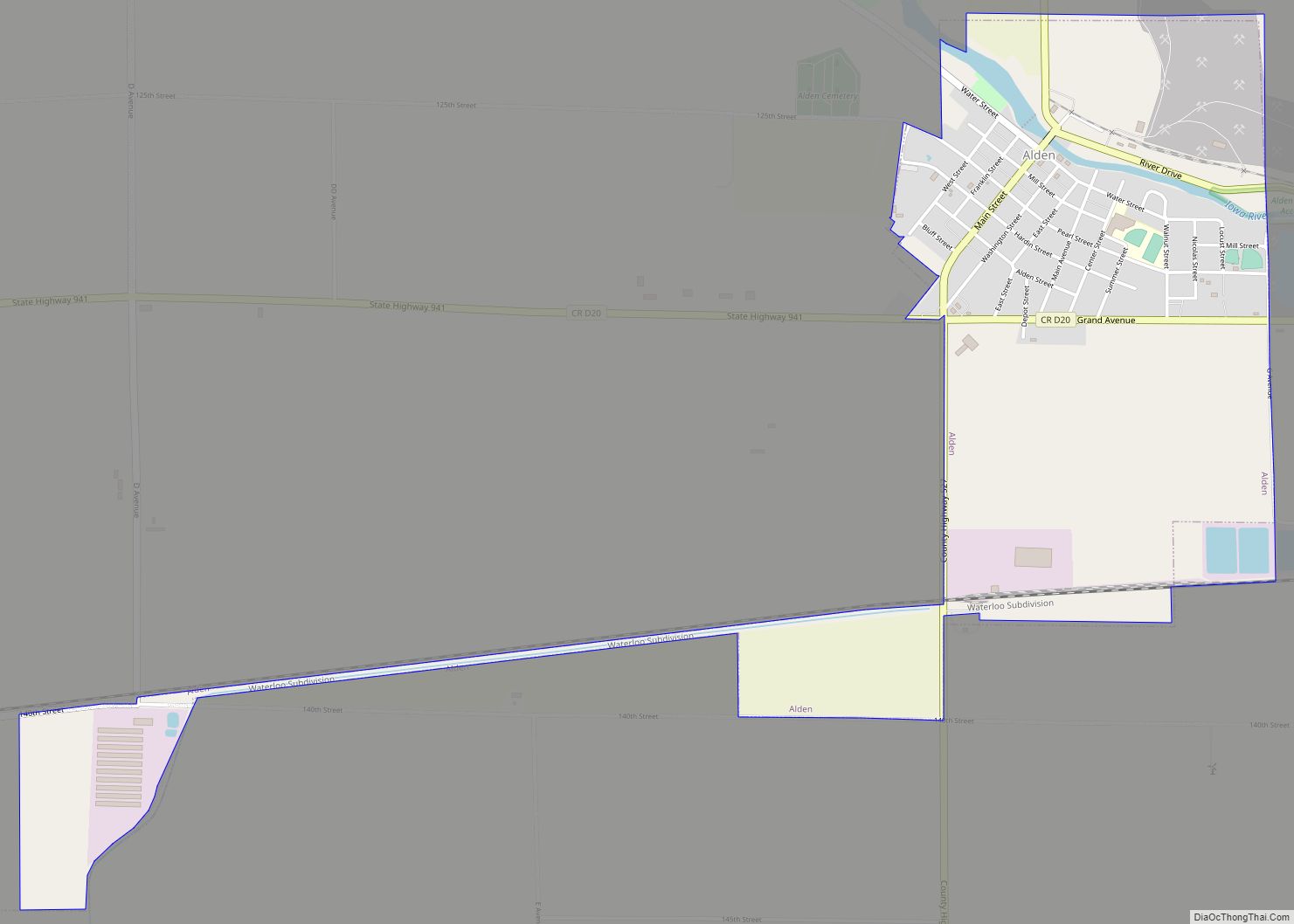
Map of Alden city

Map of Alden city, Iowa

Alden is a city in Hardin County, Iowa, United States. The population was 763 at the 2020 census. Alden city overview: Name: Alden city LSAD Code: 25 LSAD Description: city (suffix) State: Iowa County: Hardin County Elevation: 1,112 ft (339 m) Total Area: 1.54 sq mi (3.99 km²) Land Area: 1.54 sq mi (3.99 km²) Water Area: 0.00 sq mi (0.00 km²) Total Population: 763 Population … Read more

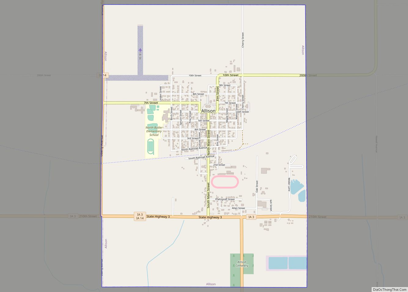
Map of Allison city

Map of Allison city, Iowa

Allison is a city in, and the county seat of, Butler County, Iowa, United States. The population was 966 at the 2020 census. Allison is home to the Butler County Fair. The city was named for U.S. Senator William B. Allison in 1881. Allison city overview: Name: Allison city LSAD Code: 25 LSAD Description: city … Read more

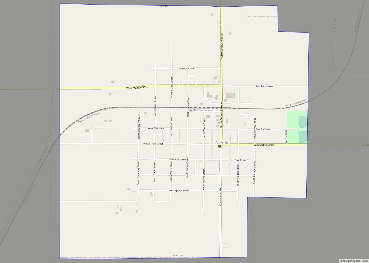
Map of Allerton city

Map of Allerton city, Iowa

Allerton is a city in Wayne County, Iowa. The population was 430 at the time of the 2020 census. Allerton city overview: Name: Allerton city LSAD Code: 25 LSAD Description: city (suffix) State: Iowa County: Wayne County Elevation: 1,099 ft (335 m) Total Area: 1.19 sq mi (3.08 km²) Land Area: 1.19 sq mi (3.08 km²) Water Area: 0.00 sq mi (0.00 km²) Total Population: 430 … Read more

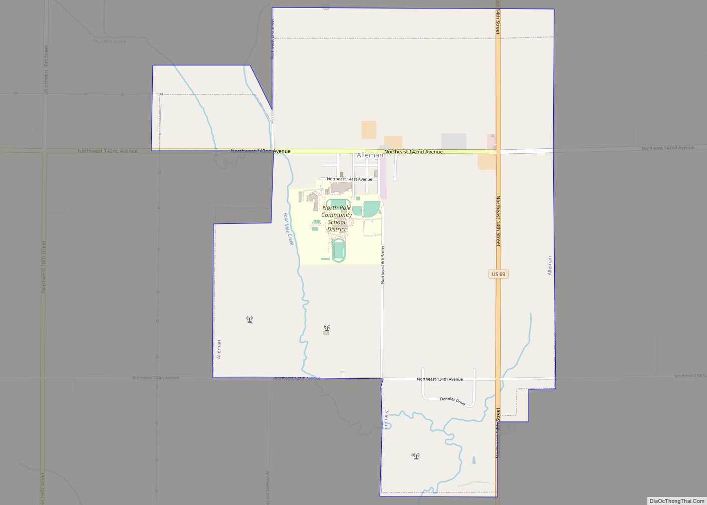
Map of Alleman city

Map of Alleman city

Alleman is a city in Polk County, Iowa, United States. The population was 423 at the 2020 census. It is part of the Des Moines–West Des Moines Metropolitan Statistical Area. Alleman city overview: Name: Alleman city LSAD Code: 25 LSAD Description: city (suffix) State: Iowa County: Polk County Elevation: 1,007 ft (307 m) Total Area: 2.94 sq mi (7.61 km²) … Read more

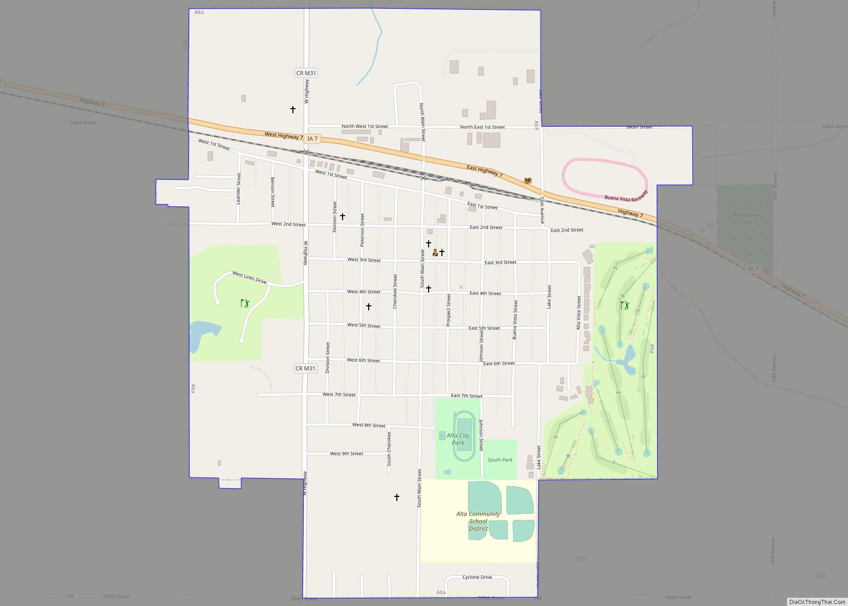
Map of Alta city, Iowa

Map of Alta city, Iowa

Alta is a city in Buena Vista County, Iowa, United States. The population was 2,087 at the 2020 census. Alta city overview: Name: Alta city LSAD Code: 25 LSAD Description: city (suffix) State: Iowa County: Buena Vista County Elevation: 1,490 ft (454 m) Total Area: 1.08 sq mi (2.79 km²) Land Area: 1.08 sq mi (2.79 km²) Water Area: 0.00 sq mi (0.00 km²) Total Population: … Read more