Map of Walker Lake CDP

Map of Walker Lake CDP

Walker Lake is an unincorporated town and census-designated place in Mineral County, Nevada, United States. As of the 2010 census, the population of Walker Lake was 275. Walker Lake CDP overview: Name: Walker Lake CDP LSAD Code: 57 LSAD Description: CDP (suffix) State: Nevada County: Mineral County Total Area: 1.26 sq mi (3.27 km²) Land Area: 1.26 sq mi (3.27 km²) … Read more

Map of Wadsworth CDP, Nevada

Map of Wadsworth CDP, Nevada

Wadsworth is a census-designated place (CDP) in Washoe County, Nevada. The population was 834 at the time of the 2010 census. It is part of the Reno–Sparks Metropolitan Statistical Area and located entirely within the Pyramid Lake Indian Reservation. The town was named for General James S. Wadsworth, a Civil War general killed during the … Read more

Map of Virginia City CDP, Nevada

Map of Virginia City CDP, Nevada

Virginia City is a census-designated place (CDP) that is the county seat of Storey County, Nevada, and the largest community in the county. The city is a part of the Reno–Sparks Metropolitan Statistical Area. Virginia City developed as a boomtown with the 1859 discovery of the Comstock Lode, the first major silver deposit discovery in … Read more

Map of Verdi CDP, Nevada

Map of Verdi CDP, Nevada

Verdi (/ˈvɜːrdaɪ/ VUR-dye) is a census-designated place (CDP) in Washoe County, Nevada, United States. It is on the western side of the Reno–Sparks Metropolitan Statistical Area, near Interstate 80. The CDP of Verdi, California lies immediately adjacent across the state line. Both are in the shadow of California’s Verdi Range. In 2010, the population was … Read more

Map of Valmy CDP

Map of Valmy CDP

Valmy is a census-designated place in Humboldt County, Nevada, United States, named after the Battle of Valmy in France. The Lone Tree gold-mining complex is located adjacent to I-80; mining ended there in 2007, though a small gold resource remains in place there. In 2021, Nevada Gold Mines sold the mine to i-80 Gold, who … Read more

Map of Ursine CDP

Map of Ursine CDP

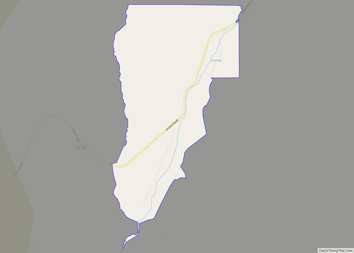
Ursine is an unincorporated community and census-designated place in Lincoln County, Nevada, United States. It is located in the foothills of the White Rock Mountains on Eagle Valley about two miles downstream from the Eagle Valley Reservoir and Spring Valley State Park. The population was 91 at the 2010 census. A post office was established … Read more

Map of Yerington city

Map of Yerington city

Yerington is a city in Lyon County, Nevada, United States. The population was 3,048 at the 2010 census. It is the current county seat of Lyon County, with the first county seat having been established at Dayton on November 29, 1861. It is named after Henry M. Yerington, superintendent of the Virginia and Truckee Railroad … Read more

Map of Winnemucca city

Map of Winnemucca city

Winnemucca (/ˌwɪnəˈmʌkə/ (listen)) is the only incorporated city in, and is the county seat of, Humboldt County, Nevada, United States. As of the 2020 census, the city had a total population of 8,431, up 14.0 percent from the 2010 census figure of 7,396. Interstate 80 passes through the city, where it meets U.S. Route 95. … Read more

Map of Winchester CDP, Nevada

Map of Winchester CDP, Nevada

Winchester is an unincorporated town and census-designated place (CDP) in Clark County, Nevada, United States that contains part of the Las Vegas Strip. It is one of a number of CDPs in the unincorporated urbanized area directly south of Las Vegas. The population was 36,403 at the 2020 census. It is governed by the Clark … Read more

Map of Zephyr Cove CDP

Map of Zephyr Cove CDP

Zephyr Cove is a community and census-designated place (CDP) in Douglas County, Nevada, United States. The population was 565 at the 2010 census. Prior to 2010 it was part of the Zephyr Cove–Round Hill Village CDP. Zephyr Cove CDP overview: Name: Zephyr Cove CDP LSAD Code: 57 LSAD Description: CDP (suffix) State: Nevada County: Douglas … Read more