Yerington is a city in Lyon County, Nevada, United States. The population was 3,048 at the 2010 census. It is the current county seat of Lyon County, with the first county seat having been established at Dayton on November 29, 1861. It is named after Henry M. Yerington, superintendent of the Virginia and Truckee Railroad from 1868 to 1910.
| Name: | Yerington city |
|---|---|
| LSAD Code: | 25 |
| LSAD Description: | city (suffix) |
| State: | Nevada |
| County: | Lyon County |
| Founded: | August 6, 1871; 151 years ago (1871-08-06) |
| Incorporated: | March 17, 1907; 116 years ago (1907-03-17) |
| Elevation: | 4,390 ft (1,340 m) |
| Total Area: | 29.46 sq mi (76.30 km²) |
| Land Area: | 29.46 sq mi (76.30 km²) |
| Water Area: | 0.00 sq mi (0.00 km²) |
| Total Population: | 3,121 |
| Population Density: | 105.94/sq mi (40.90/km²) |
| ZIP code: | 89447 |
| Area code: | 775 |
| FIPS code: | 3285400 |
| GNISfeature ID: | 0848686 |
| Website: | www.yerington.net |
Online Interactive Map
Click on ![]() to view map in "full screen" mode.
to view map in "full screen" mode.
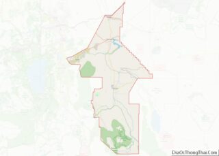
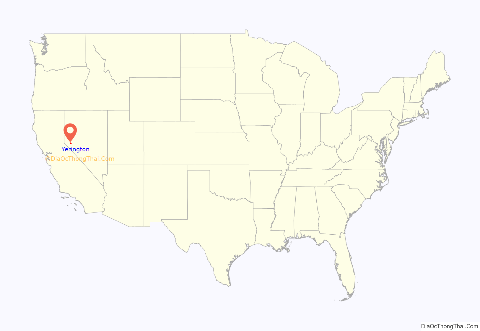
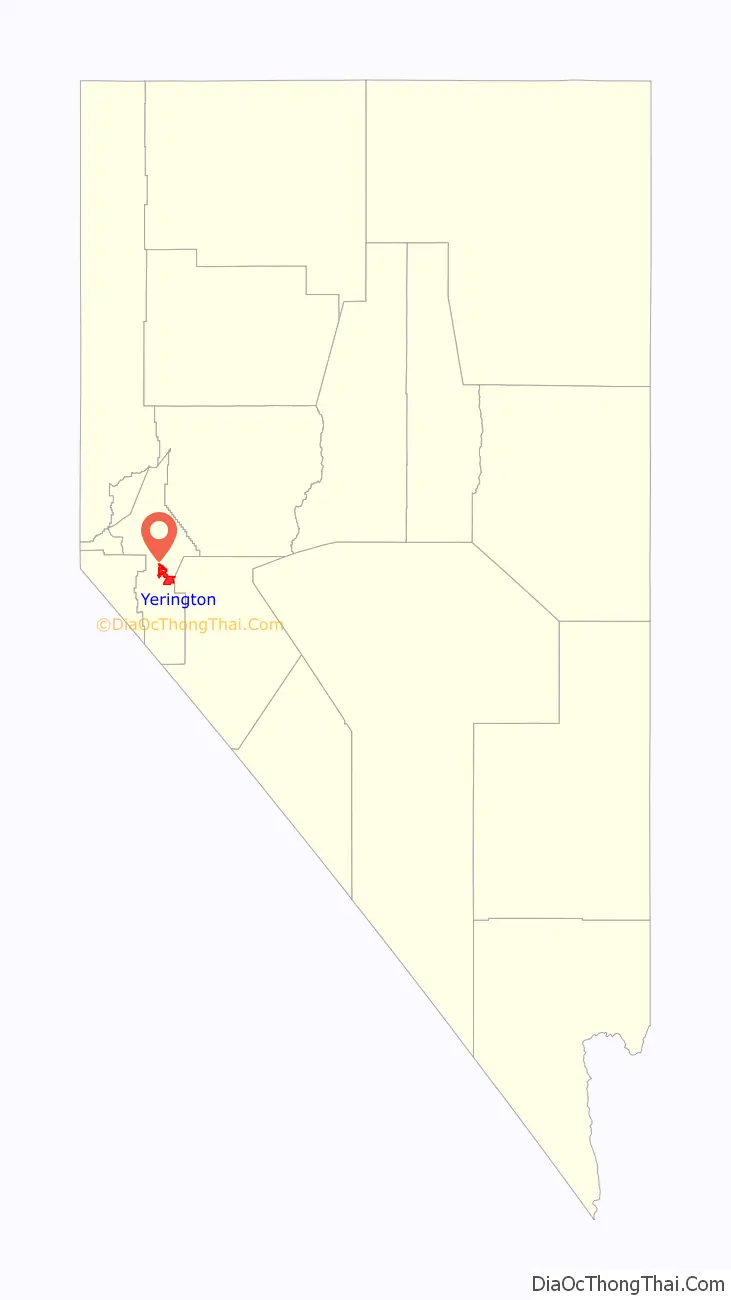
Yerington location map. Where is Yerington city?
History
Native people
The Yerington Paiute Tribe of the Yerington Colony and Campbell Ranch is headquartered in Yerington. The people, known as Namu (human beings) in their own language, have lived in the Smith and Mason Valleys in Northwestern Nevada, since around 1000 A.D.
City
The community was formerly named Greenfield, Mason Valley, and Pizen Switch (irreverent nickname from the time where Yerington was a transfer – or switch – stop; and the local whiskey was so bad that it was called “poison”. “Poison” came out sounding like “pizen” because of local vernacular, and the name “Pizen Switch” stuck.)
It was founded on August 6, 1871. The city was incorporated on March 17, 1907.
After the Dayton Court House burned down in 1909, the county seat was moved to Yerington in 1911.
Wilson Ranch fire balloon
During World War II, one of many Japanese Fu-Go balloon bombs launched at the United States landed on the Wilson Ranch near Yerington. The ranchers, not knowing what it was, attempted to notify the authorities by mail, but did not receive a response until after they cut it up and used it as a hay tarp.
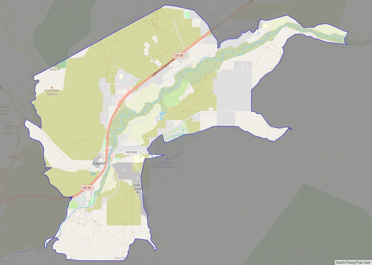
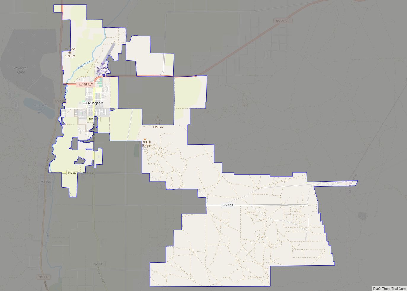
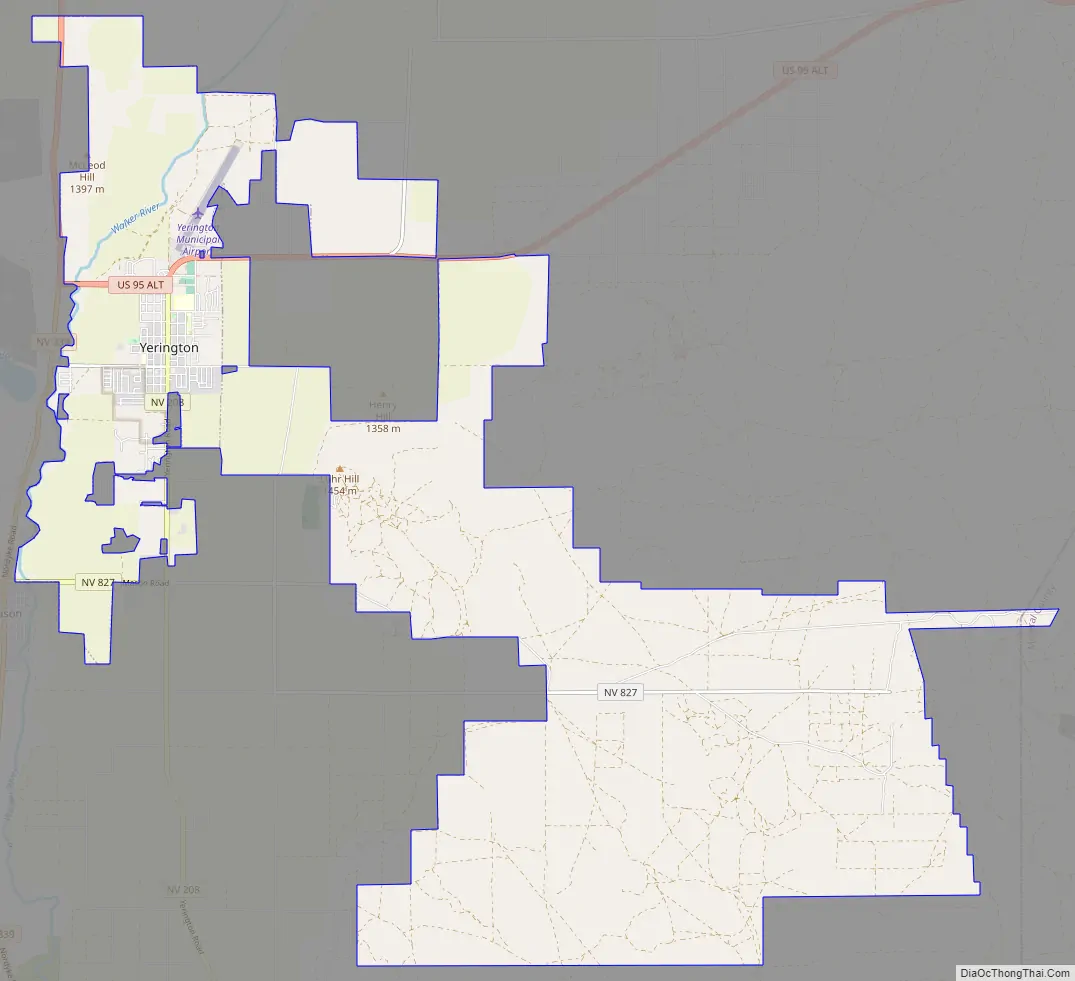
Yerington Road Map
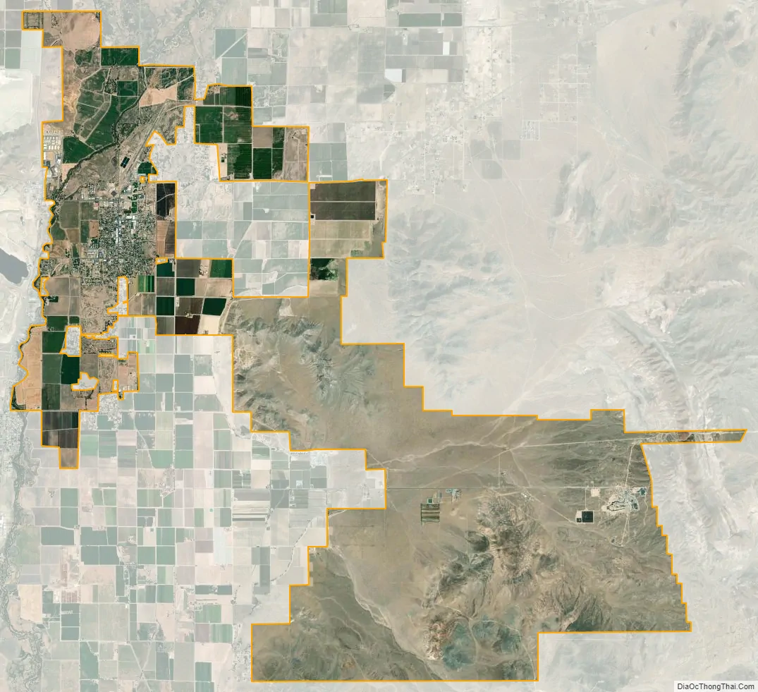
Yerington city Satellite Map
Geography
Yerington is located at the intersection of US 95A and Nevada State Route 208. It is 33 miles (53 km) south of Silver Springs and U.S. Route 50, 47 miles (76 km) south of Fernley and Interstate 80, 23 miles (37 km) west of Schurz and U.S. Route 95, and 23 miles (37 km) northeast of Smith Valley.
According to the United States Census Bureau, the city has a total area of 29.5 square miles (76.3 km), all land. The Walker River is formed in southern Lyon County, 9 miles (14 km) south of Yerington, by the confluence of the East Walker and West Walker rivers. It flows into the Mason Valley where Yerington is located, and is used for irrigation.
Climate
Yerington experiences a borderline cool desert climate (Köppen BWk)/cool semi-arid climate (BSk). Yerington is noticeably more arid than areas even marginally closer to the Sierra Nevada – it receives only half as much precipitation as Carson City, a third as much as South Lake Tahoe and only one-eighth as much as Nevada City, California on the western Sierra slopes. Because the drying effect of the Pine Nut Mountains is most pronounced in the winter, Yerington receives very little snow in most years, although in the very cold and snowy month of January 1916 as much as 37.0 inches (0.94 m) fell and that season saw a total of 39.5 inches (1.00 m). January 2017 proved the first month to exceed 4 inches or 101.6 millimetres of precipitation when it totaled 4.55 inches (115.6 mm). The wettest “rain year” has been from July 1955 to June 1956 with 9.06 inches (230.1 mm) and the driest from July 1949 to June 1950 with only 1.62 inches (41.1 mm), although the calendar year of 1983 saw 10.58 inches (268.7 mm). The most precipitation in one day is 2.02 inches (51.3 mm) on September 18, 1955, closely rivaled by December 23 of that year when 2.00 inches (50.8 mm) fell.
During the summer, temperatures are generally hot to very hot in the afternoon, but the high altitude and low humidity means temperature drop to a comfortable level at night. On average, 8.0 afternoons each summer will exceed 100 °F or 37.8 °C and 73.2 afternoons reach 90 °F (32.2 °C). It is rare, though, that minima stay above 68 °F (20.0 °C), although thirteen mornings stayed this warm in 2015. The hottest minimum has been 78 °F (25.6 °C) on July 22, 2003, and the hottest temperature 107 °F (41.7 °C) on July 15, 2014. In the winter, afternoons are sunny and cool to cold with all but 4.6 topping freezing on average, although mornings typically range from freezing to frigid: 135.5 mornings fall below freezing in an average year and 0.6 fall to or below 0 °F (−17.8 °C). The coldest temperature on record is −26 °F (−32.2 °C) on January 21, 1937, and the coldest month January 1949 which averaged 12.4 °F (−10.9 °C) with a mean minimum of −4.6 °F (−20.3 °C). The coldest afternoon is 6 °F (−14.4 °C), which occurred on February 6, 1989, and December 22, 1990.
See also
Map of Nevada State and its subdivision: Map of other states:- Alabama
- Alaska
- Arizona
- Arkansas
- California
- Colorado
- Connecticut
- Delaware
- District of Columbia
- Florida
- Georgia
- Hawaii
- Idaho
- Illinois
- Indiana
- Iowa
- Kansas
- Kentucky
- Louisiana
- Maine
- Maryland
- Massachusetts
- Michigan
- Minnesota
- Mississippi
- Missouri
- Montana
- Nebraska
- Nevada
- New Hampshire
- New Jersey
- New Mexico
- New York
- North Carolina
- North Dakota
- Ohio
- Oklahoma
- Oregon
- Pennsylvania
- Rhode Island
- South Carolina
- South Dakota
- Tennessee
- Texas
- Utah
- Vermont
- Virginia
- Washington
- West Virginia
- Wisconsin
- Wyoming