Winchester is an unincorporated town and census-designated place (CDP) in Clark County, Nevada, United States that contains part of the Las Vegas Strip. It is one of a number of CDPs in the unincorporated urbanized area directly south of Las Vegas. The population was 36,403 at the 2020 census. It is governed by the Clark County Commission with advice from the Winchester Town Advisory Board. “Winchester, NV” does not appear in postal addresses; the United States Postal Service has assigned “Las Vegas, NV” as the place name for the ZIP codes containing Winchester.
| Name: | Winchester CDP |
|---|---|
| LSAD Code: | 57 |
| LSAD Description: | CDP (suffix) |
| State: | Nevada |
| County: | Clark County |
| Founded: | April 23, 1951; 72 years ago (1951-04-23) |
| Elevation: | 1,919 ft (585 m) |
| Total Area: | 4.96 sq mi (12.84 km²) |
| Land Area: | 4.96 sq mi (12.84 km²) |
| Water Area: | 0.00 sq mi (0.00 km²) |
| Total Population: | 36,403 |
| Population Density: | 7,342.28/sq mi (2,834.66/km²) |
| ZIP code: | 89169 |
| Area code: | 702 and 725 |
| FIPS code: | 3284600 |
| GNISfeature ID: | 0845753 |
Online Interactive Map
Click on ![]() to view map in "full screen" mode.
to view map in "full screen" mode.
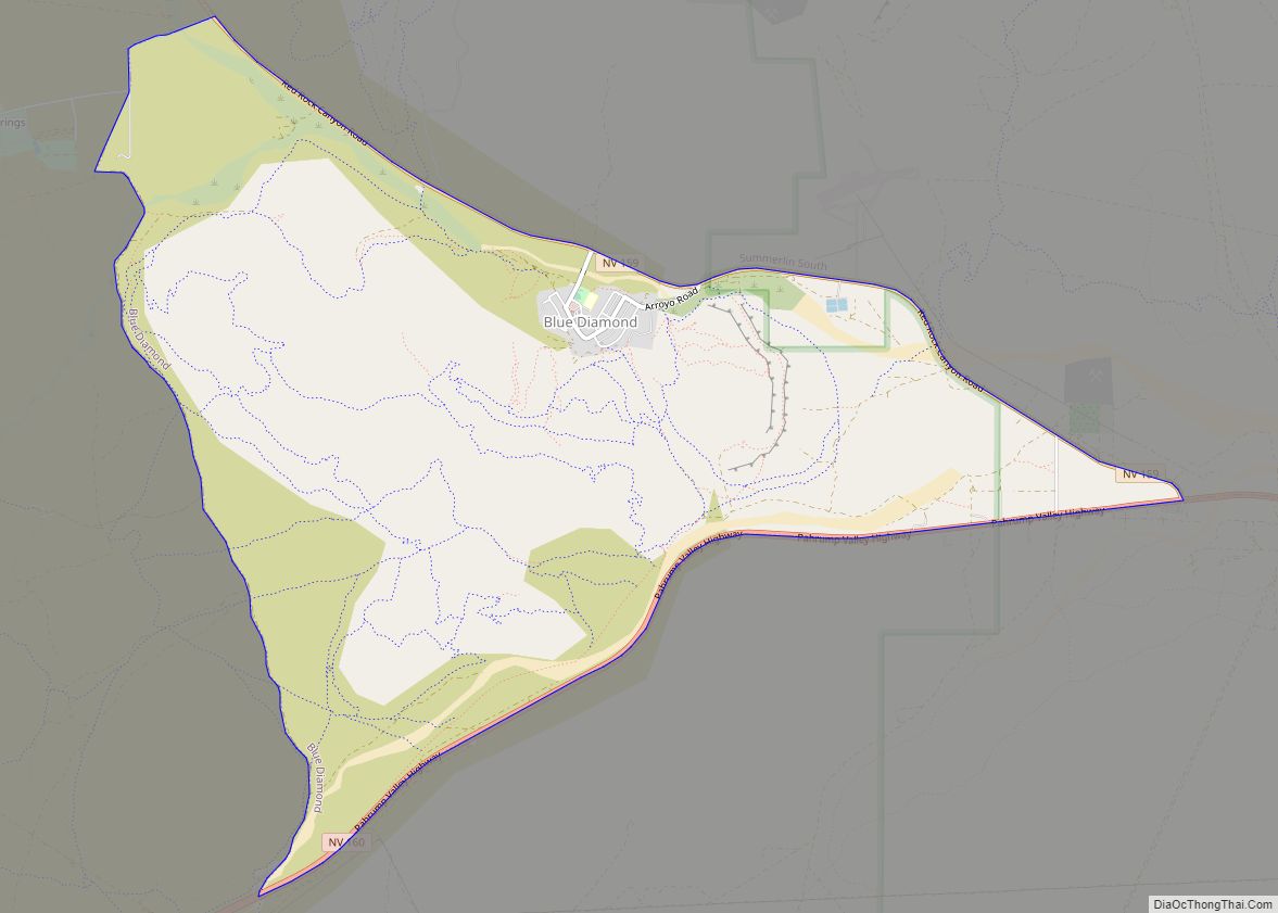
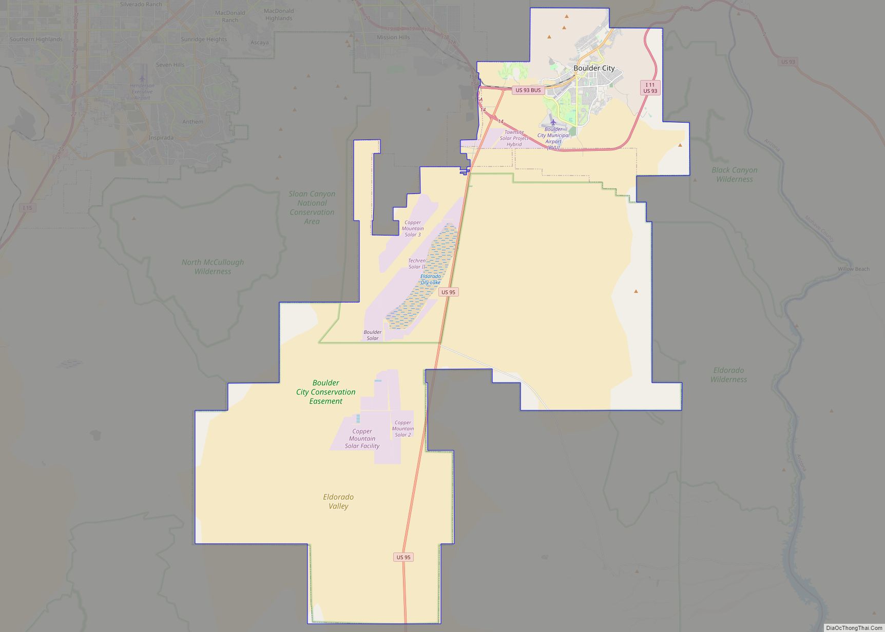
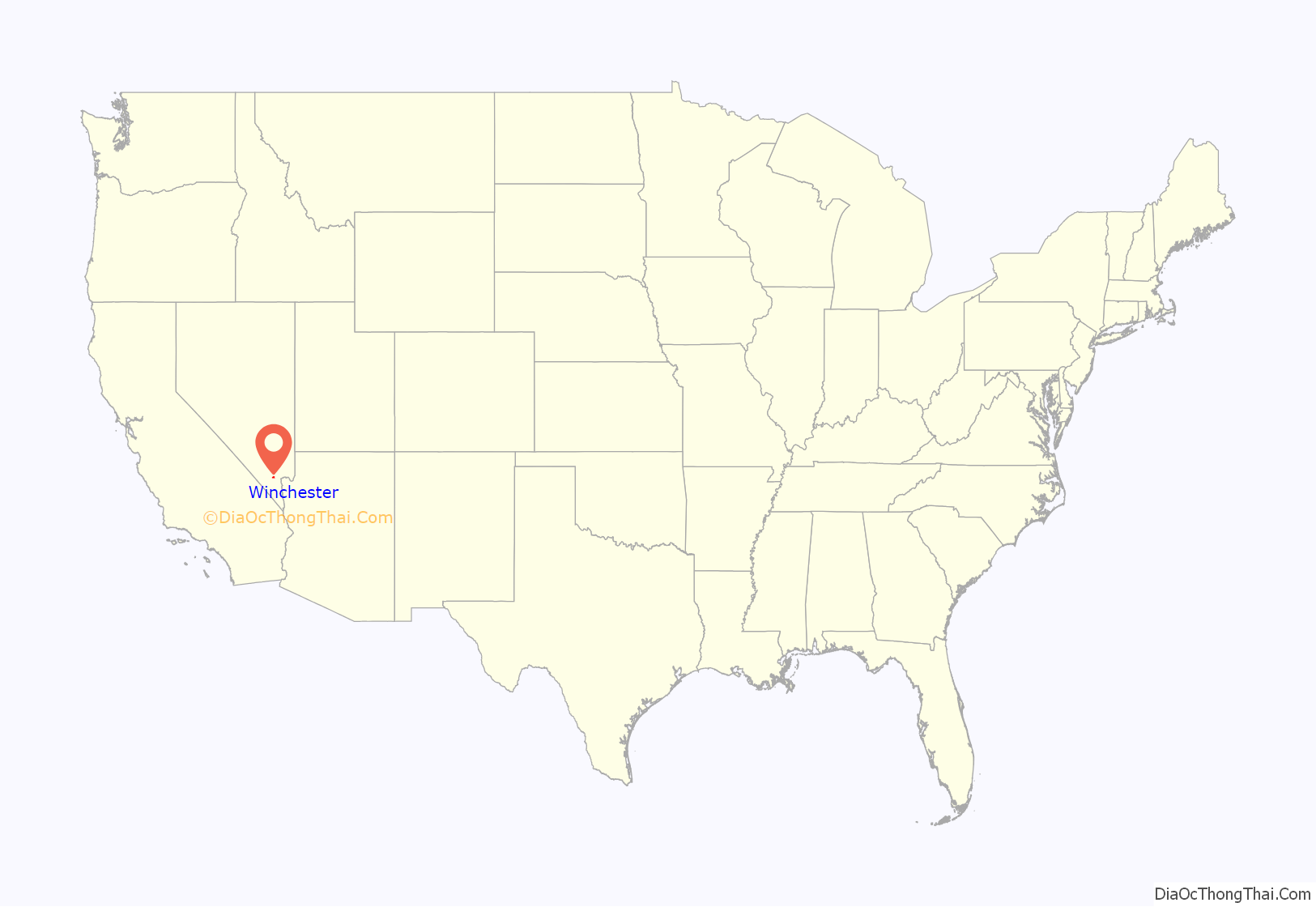
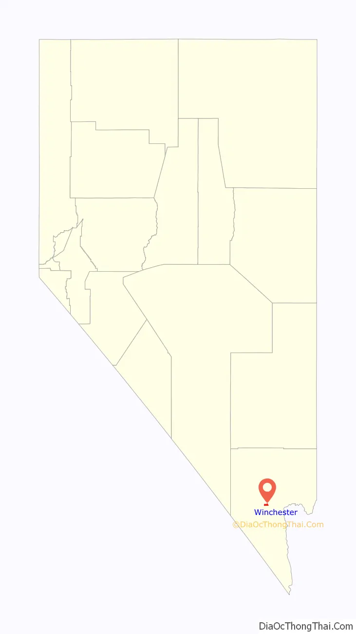
Winchester location map. Where is Winchester CDP?
History
The southern part of the Las Vegas Valley was referred to as Paradise Valley as early as 1910, owing to a high water table that made the land particularly fertile for farming. County commissioners established a Paradise school district in 1914.
In 1950, mayor Ernie Cragin of Las Vegas sought to annex the Las Vegas Strip, which was unincorporated territory, in order to expand the city’s tax base to fund his ambitious building agenda and pay down the city’s rising debt. A group of casino executives, led by Gus Greenbaum of the Flamingo, lobbied the county commissioners for town status, which would prevent the city from annexing the land without the commission’s approval. The commission voted to create the unincorporated town of Paradise on December 8, 1950. A month after its establishment, the town was expanded to include the residential areas of Paradise Valley. Months later, however, it was reported that county officials had determined that the town had not been properly established, because the petition for the town’s formation had an insufficient number of signatures and because it had violated a state law forbidding formation of a town spanning multiple school districts. On August 20, 1951, county commissioners accepted petitions to create two new towns covering the area of the putative town. Town “A” of Paradise included the areas that lay within a Las Vegas school district, extending from the city limits to a point one mile south, while Town “B” included the areas within the Paradise school district. In 1953, Town A was renamed as Winchester, and Town B became known simply as Paradise. Ultimately, in 1956 state law consolidated all local school districts into a countywide school district, which in the Las Vegas Valley’s case is the Clark County School District.
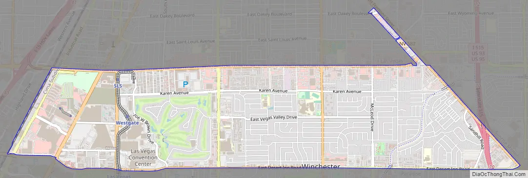
Winchester Road Map
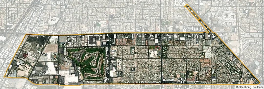
Winchester city Satellite Map
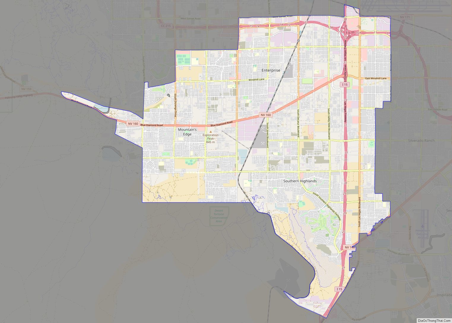
Geography
Winchester sits in the east-central part of the Las Vegas Valley. To the north it borders Las Vegas, to the west and south is the CDP of Paradise, and to the east is Sunrise Manor.
Relative to streets, it is the area bordered by Sahara Avenue on the north, Boulder Highway on the east, Desert Inn Road on the south and the Union Pacific Railroad tracks on the west, with a few additional enclaves west of Interstate 15.
According to the United States Census Bureau, the CDP has a total area of 4.3 square miles (11 km), all land.
See also
Map of Nevada State and its subdivision: Map of other states:- Alabama
- Alaska
- Arizona
- Arkansas
- California
- Colorado
- Connecticut
- Delaware
- District of Columbia
- Florida
- Georgia
- Hawaii
- Idaho
- Illinois
- Indiana
- Iowa
- Kansas
- Kentucky
- Louisiana
- Maine
- Maryland
- Massachusetts
- Michigan
- Minnesota
- Mississippi
- Missouri
- Montana
- Nebraska
- Nevada
- New Hampshire
- New Jersey
- New Mexico
- New York
- North Carolina
- North Dakota
- Ohio
- Oklahoma
- Oregon
- Pennsylvania
- Rhode Island
- South Carolina
- South Dakota
- Tennessee
- Texas
- Utah
- Vermont
- Virginia
- Washington
- West Virginia
- Wisconsin
- Wyoming