Wadsworth is a census-designated place (CDP) in Washoe County, Nevada. The population was 834 at the time of the 2010 census. It is part of the Reno–Sparks Metropolitan Statistical Area and located entirely within the Pyramid Lake Indian Reservation. The town was named for General James S. Wadsworth, a Civil War general killed during the Battle of the Wilderness in 1864. It was given this name by Leland Stanford of the Central Pacific Railroad as a favor to General Irvin McDowell, whom Wadsworth had served under during the Civil War.
| Name: | Wadsworth CDP |
|---|---|
| LSAD Code: | 57 |
| LSAD Description: | CDP (suffix) |
| State: | Nevada |
| County: | Washoe County |
| Elevation: | 4,075 ft (1,242 m) |
| Total Area: | 3.71 sq mi (9.61 km²) |
| Land Area: | 3.71 sq mi (9.61 km²) |
| Water Area: | 0.00 sq mi (0.00 km²) |
| Total Population: | 991 |
| Population Density: | 267.04/sq mi (103.10/km²) |
| ZIP code: | 89442 |
| Area code: | 775 |
| FIPS code: | 3281000 |
| GNISfeature ID: | 0844607 |
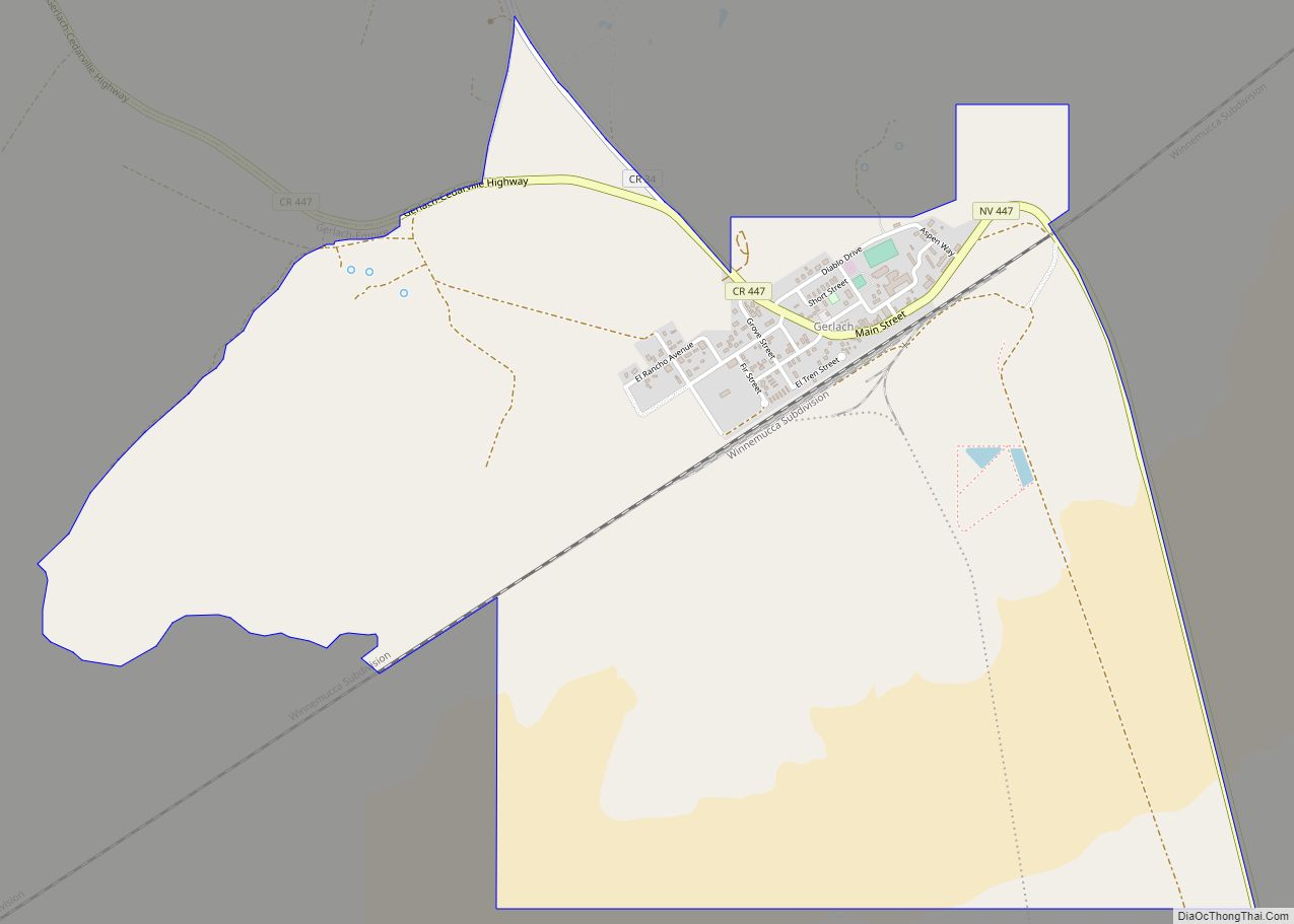
Online Interactive Map
Click on ![]() to view map in "full screen" mode.
to view map in "full screen" mode.
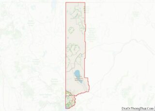
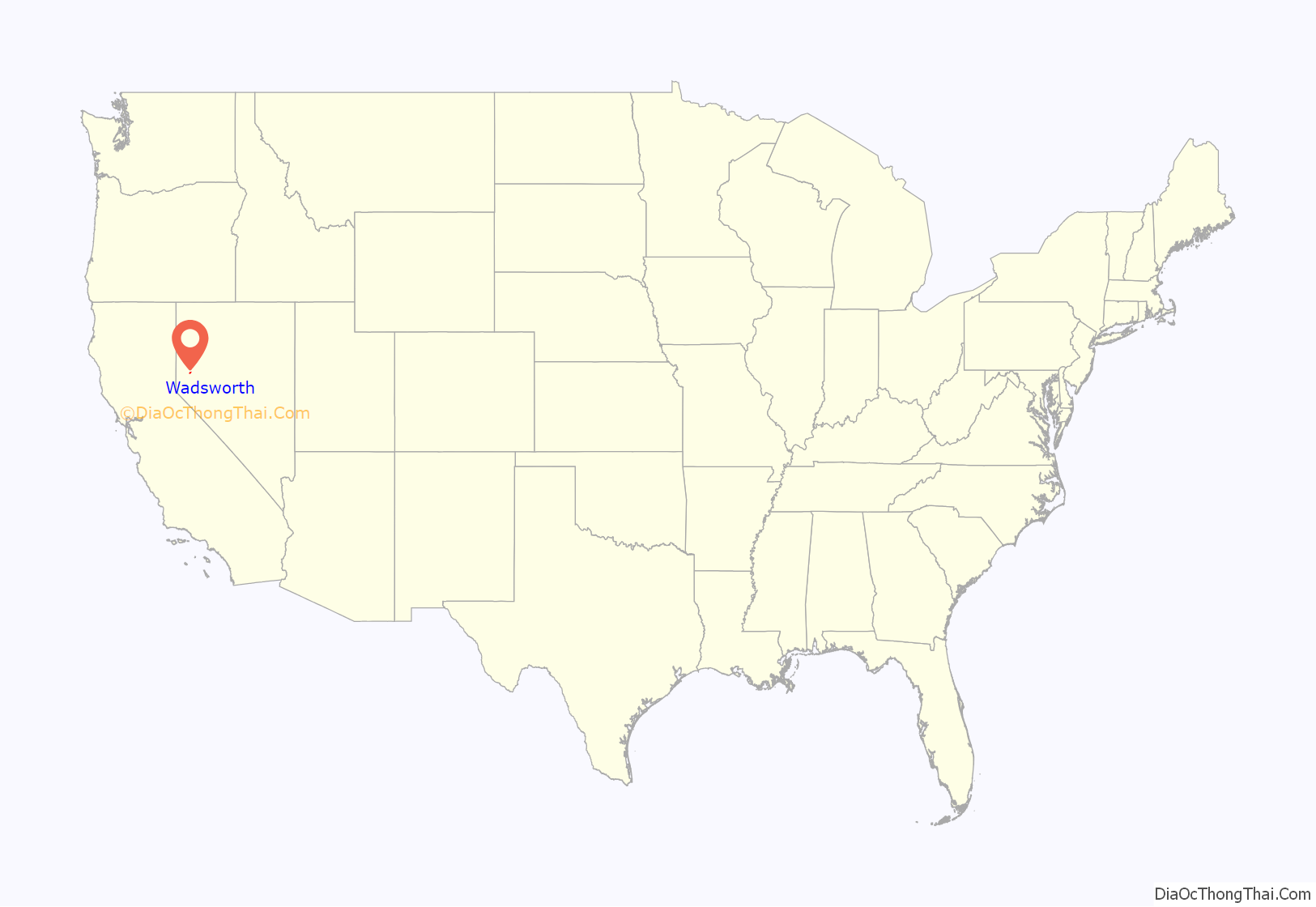
Wadsworth location map. Where is Wadsworth CDP?

History
- Joe Conforte—owner of the first legal brothel in the United States—moved to Nevada in 1955 and opened the Triangle River Ranch brothel in Wadsworth; an illegal brothel at the junction of Washoe, Storey, and Lyon counties. In 1959, Conforte served 22 months in jail after attempting to blackmail Washoe County District Attorney Bill Raggio, who summarily had the ranch burned down.
- Author Gwendolyn B. Bennett spent her early childhood in Wadsworth on the Paiute Indian Reservation, where her parents were teachers.
- On September 8, 1959, a bill to protect American mustangs was signed into law by President Eisenhower, making it a violation of federal law to use aircraft or motorized vehicles on public land in hunting wild horses and burros. Velma Bronn Johnston of Wadsworth, nicknamed “Wild Horse Annie”, had lobbied Congress to pass the bill.
- Wadsworth is known to participants in the Burning Man festival as the exit from Interstate 80 that one takes to get to Black Rock City. The event is held in the Black Rock Desert which is near Gerlach, 62 miles (100 km) north of Wadsworth on State Route 447.
- Wadsworth is also home base to a popular Christian Rock radio station, named Renegade Radio, which broadcasts at 101.3 FM and streams at renegaderadio.org
- The opening scene in John Ford’s early western masterpiece, The Iron Horse was filmed in Wadsworth. Ford would go on to enjoy one of the greatest careers in cinema, eventually winning an unprecedented four Academy Awards as director.
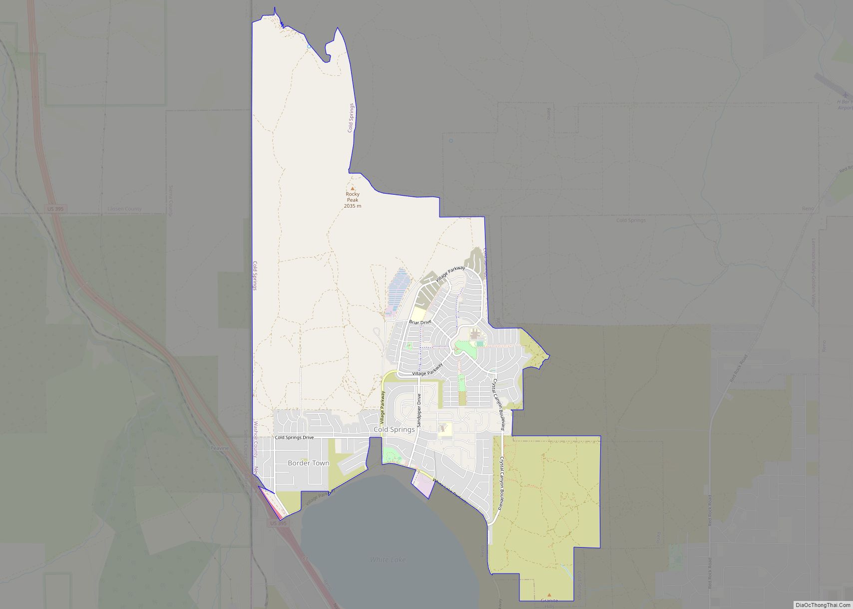
Wadsworth Road Map
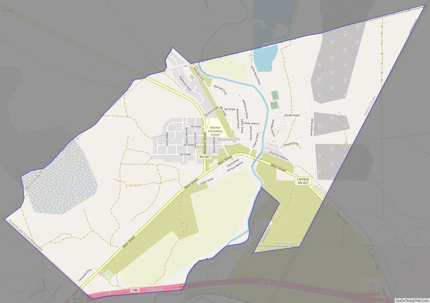
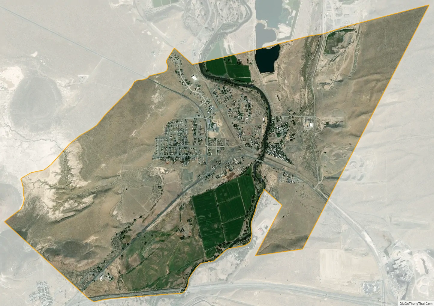
Wadsworth city Satellite Map
Geography
Wadsworth is located at 39°38′8″N 119°16′59″W / 39.63556°N 119.28306°W / 39.63556; -119.28306 (39.635550, -119.283175).
According to the United States Census Bureau, the CDP has a total area of 3.7 square miles (9.6 km), all land.
See also
Map of Nevada State and its subdivision: Map of other states:- Alabama
- Alaska
- Arizona
- Arkansas
- California
- Colorado
- Connecticut
- Delaware
- District of Columbia
- Florida
- Georgia
- Hawaii
- Idaho
- Illinois
- Indiana
- Iowa
- Kansas
- Kentucky
- Louisiana
- Maine
- Maryland
- Massachusetts
- Michigan
- Minnesota
- Mississippi
- Missouri
- Montana
- Nebraska
- Nevada
- New Hampshire
- New Jersey
- New Mexico
- New York
- North Carolina
- North Dakota
- Ohio
- Oklahoma
- Oregon
- Pennsylvania
- Rhode Island
- South Carolina
- South Dakota
- Tennessee
- Texas
- Utah
- Vermont
- Virginia
- Washington
- West Virginia
- Wisconsin
- Wyoming