Winnemucca (/ˌwɪnəˈmʌkə/ (listen)) is the only incorporated city in, and is the county seat of, Humboldt County, Nevada, United States. As of the 2020 census, the city had a total population of 8,431, up 14.0 percent from the 2010 census figure of 7,396. Interstate 80 passes through the city, where it meets U.S. Route 95.
| Name: | Winnemucca city |
|---|---|
| LSAD Code: | 25 |
| LSAD Description: | city (suffix) |
| State: | Nevada |
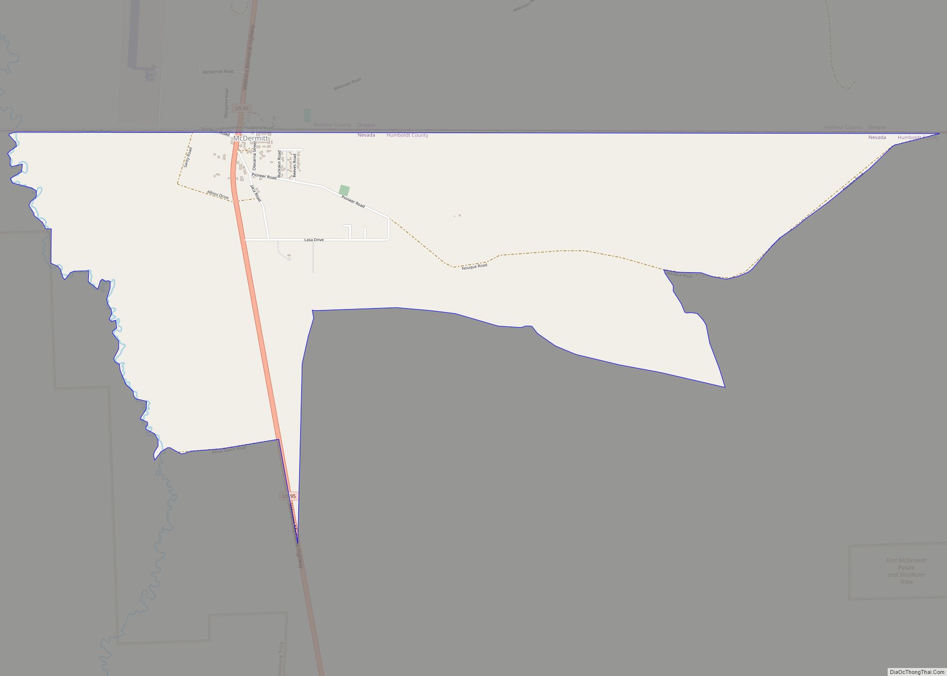
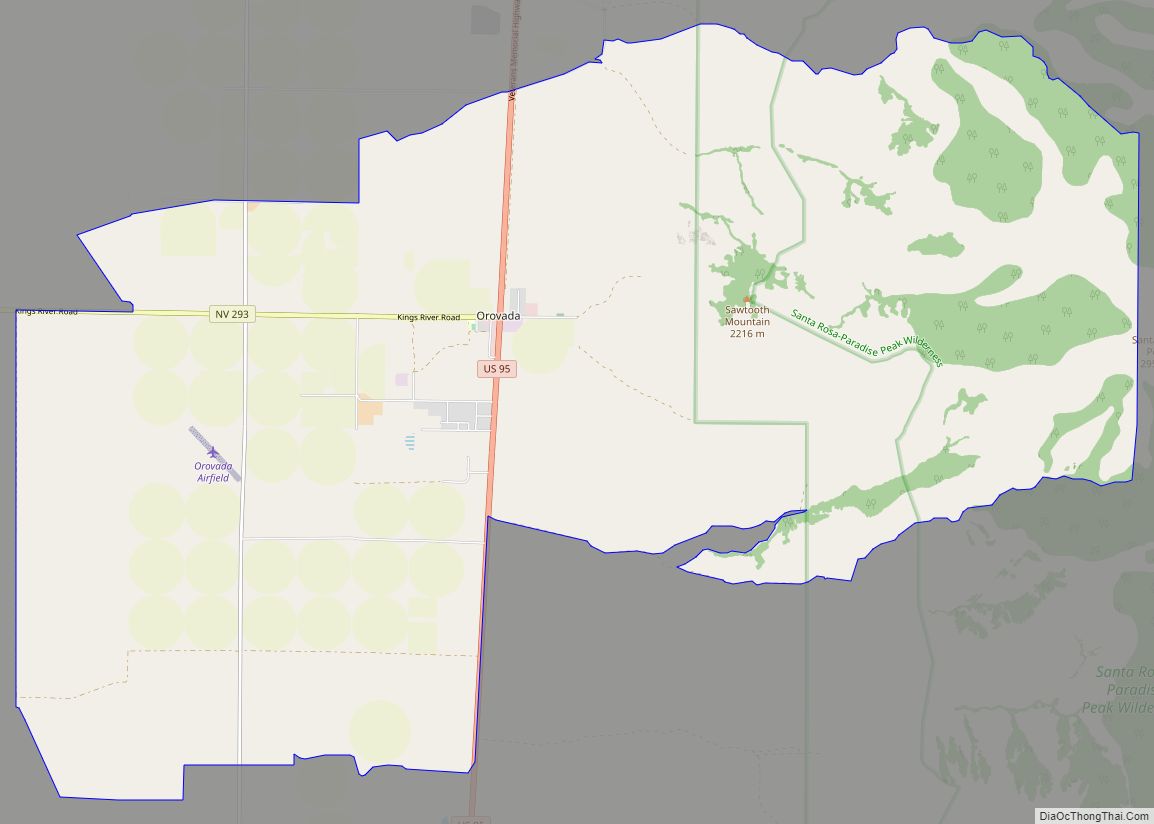
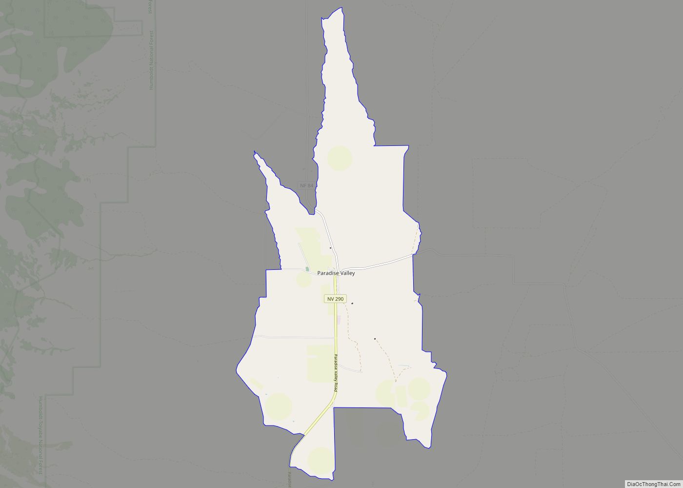
| County: | Humboldt County |
| Elevation: | 4,295 ft (1,309 m) |
| Total Area: | 9.77 sq mi (25.30 km²) |
| Land Area: | 9.77 sq mi (25.30 km²) |
| Water Area: | 0.00 sq mi (0.00 km²) |
| Total Population: | 8,431 |
| Population Density: | 863.04/sq mi (333.22/km²) |
| ZIP code: | 89445–89446 |
| Area code: | 775 |
| FIPS code: | 3284800 |
| GNISfeature ID: | 0844996 |
| Website: | www.winnemuccacity.org |
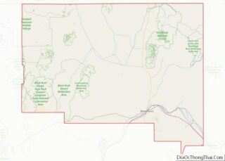
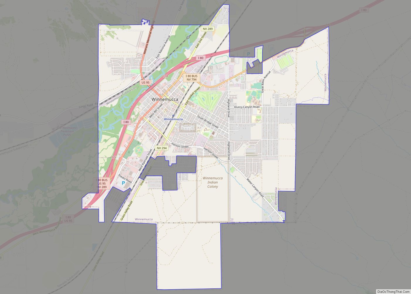
Online Interactive Map
Click on ![]() to view map in "full screen" mode.
to view map in "full screen" mode.
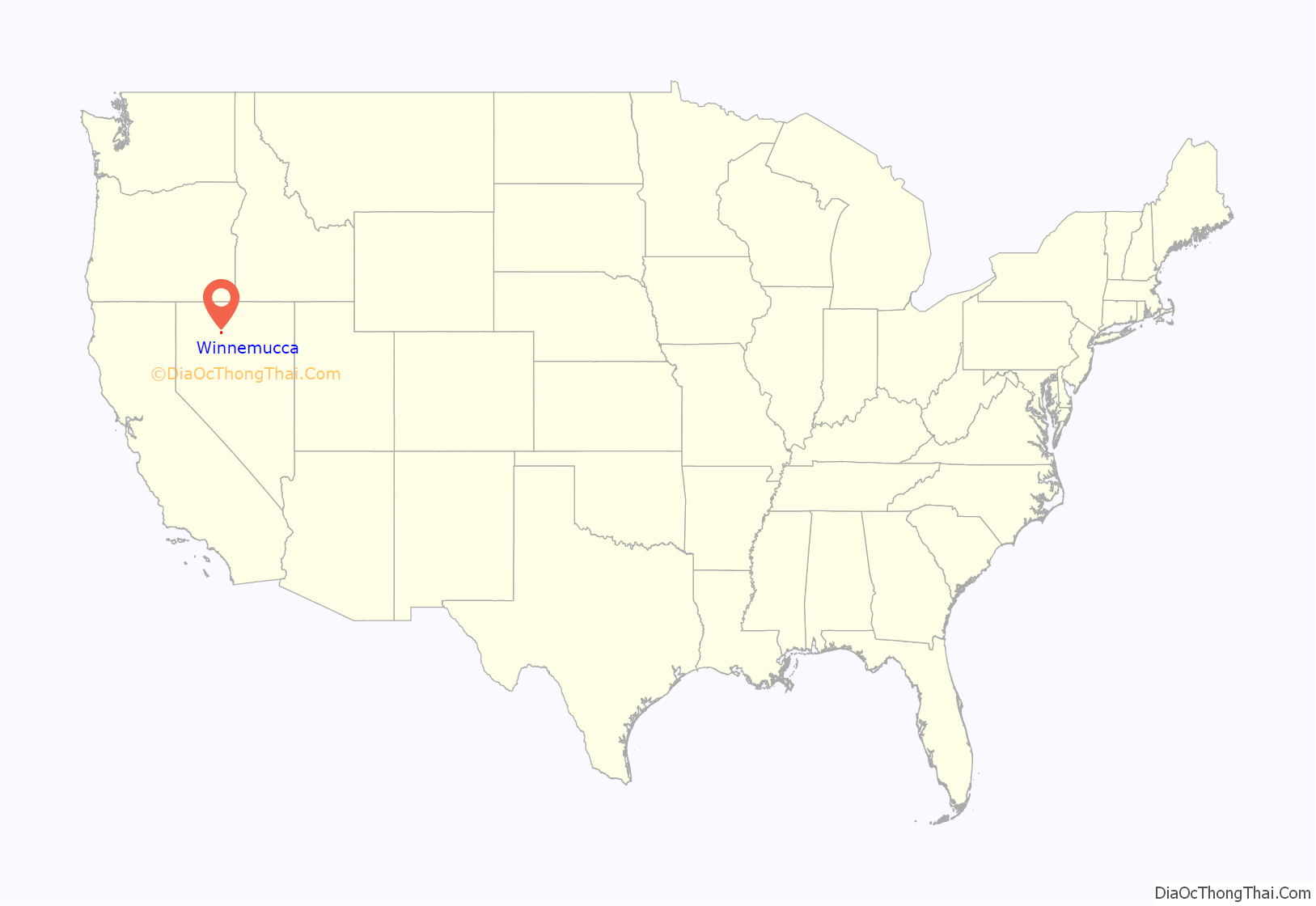
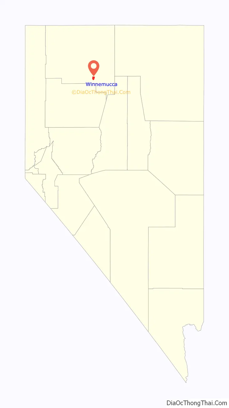
Winnemucca location map. Where is Winnemucca city?
History
The town was named for the 19th-century Chief Winnemucca of the local Northern Paiute tribe, who traditionally lived in this area. Winnemucca, loosely translated, means “one moccasin.” The chief’s daughter, Sarah Winnemucca, was an advocate for education and fair treatment of the Paiute and Shoshone tribes in the area. Their family all learned to speak English, and Sarah worked as an interpreter, scout and messenger for the United States Army during the Bannock War of 1878. In 1883, Sarah Winnemucca published the first autobiography written by a Native American woman, based on hundreds of lectures she’d given in the Northeast and mid-Atlantic. It has been described as “one of the most enduring ethno-historical books written by an American Indian.”
On September 16, 1868, the Central Pacific Railroad reached Winnemucca, and was officially opened on October 1 of that year. It was on the First transcontinental railroad. It was part of the transcontinental line.
Basque immigrants worked as sheep-herders starting in the mid-19th century. In honor of this heritage, Winnemucca hosts an annual Basque Festival.
On September 19, 1900, Butch Cassidy’s gang robbed the First National Bank of Winnemucca of $32,640.
Winnemucca’s brothel district, while smaller now than in the 1980s, is known as “The Line” or “The Ring Circle”, based on the layout of the street where the brothels are located. As of 2015, there have been no operating brothels in Humboldt County, Nevada. Sex workers in the town must register their vehicles with the local police.
According to a billboard along State Route 140 (the “Winnemucca to the Sea Highway”), Winnemucca styles itself “The City of Paved Streets”.
Winnemucca is home to the Buckaroo Hall of Fame and Heritage Museum.
Chinatown
In the late 19th and early 20th centuries, Winnemucca had a vibrant Chinatown. The Chinese originally came to the area as workers on the transcontinental Central Pacific Railroad, which reached Winnemucca in 1868. Some remained or returned to settle.
During the 1890s, around 400 Chinese formed a community in the town. Among their prominent buildings was the Joss House on Baud Street, a place of worship and celebration. In 1911, the community was visited by Sun Yat-Sen, later to become Chinese president. He was on a fund-raising tour of the United States to help the Xinhai Revolution.
The Joss House, the last structure associated with Chinatown, was demolished on March 8, 1955, by order of the Winnemucca City Council.
Winnemucca Road Map
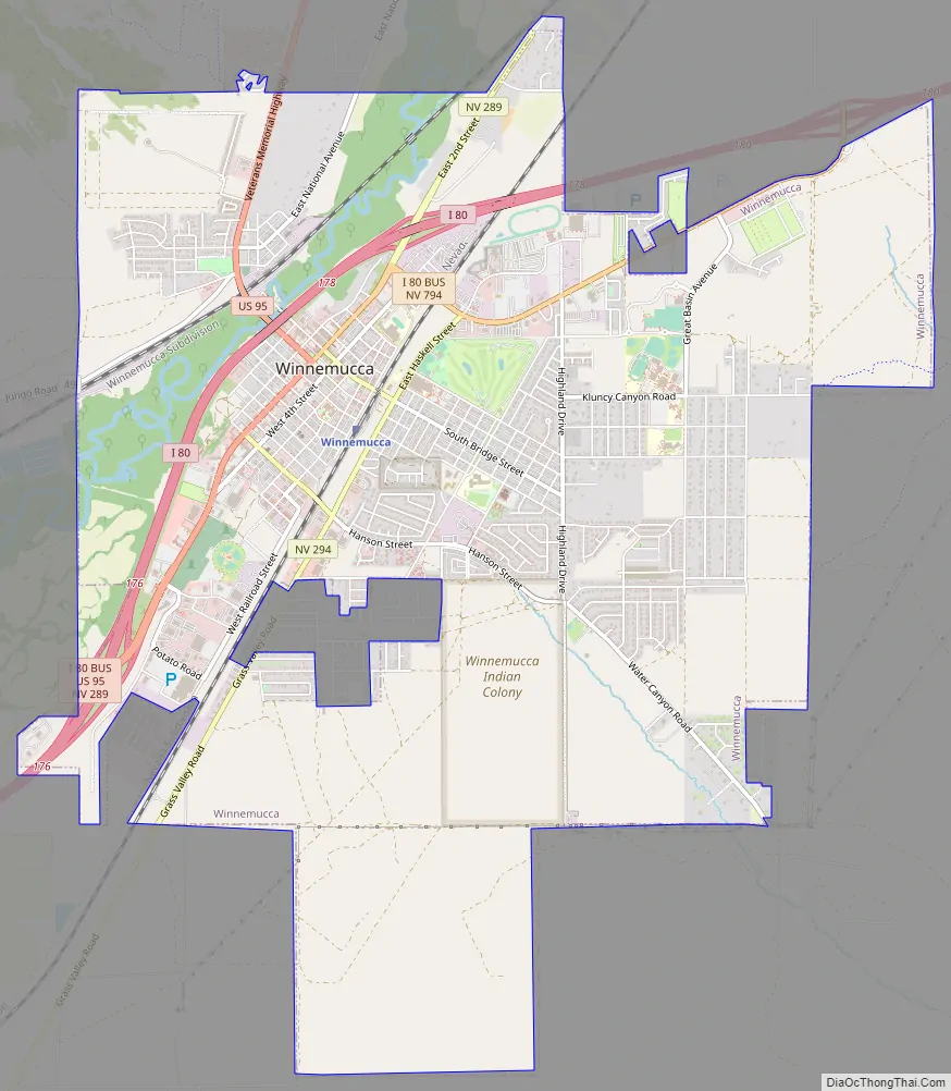
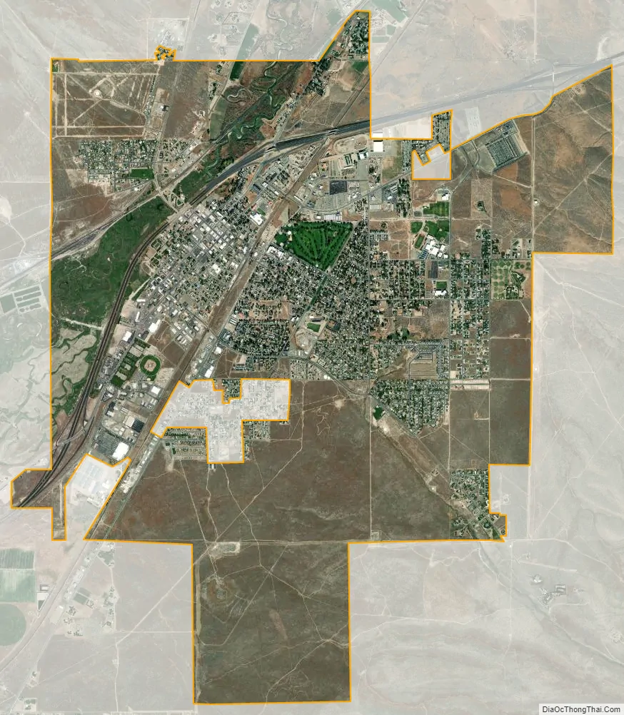
Winnemucca city Satellite Map
Geography
Winnemucca is located at 40°58′6″N 117°43′36″W / 40.96833°N 117.72667°W / 40.96833; -117.72667 (40.968212, −117.726662).
According to the United States Census Bureau, the city has a total area of 9.4 square miles (24.3 km), all land.
Winnemucca’s climate is semi-arid (Köppen climate classification BSk), averaging 8.28 in (210 mm) of precipitation annually. Summer days tend to be hot, but the temperature drops significantly at night. Winters are cold with generally light snow, with 22.0 in (56 cm) falling during a typical year. The highest recorded temperature in Winnemucca was 109 °F (43 °C), on July 11, 2002, and the lowest recorded temperature was −37 °F (−38 °C) on December 22, 1990. Freezing temperatures have been observed in every month of the year.
See also
Map of Nevada State and its subdivision: Map of other states:- Alabama
- Alaska
- Arizona
- Arkansas
- California
- Colorado
- Connecticut
- Delaware
- District of Columbia
- Florida
- Georgia
- Hawaii
- Idaho
- Illinois
- Indiana
- Iowa
- Kansas
- Kentucky
- Louisiana
- Maine
- Maryland
- Massachusetts
- Michigan
- Minnesota
- Mississippi
- Missouri
- Montana
- Nebraska
- Nevada
- New Hampshire
- New Jersey
- New Mexico
- New York
- North Carolina
- North Dakota
- Ohio
- Oklahoma
- Oregon
- Pennsylvania
- Rhode Island
- South Carolina
- South Dakota
- Tennessee
- Texas
- Utah
- Vermont
- Virginia
- Washington
- West Virginia
- Wisconsin
- Wyoming