Map of Williamsburg town

Map of Williamsburg town, Colorado

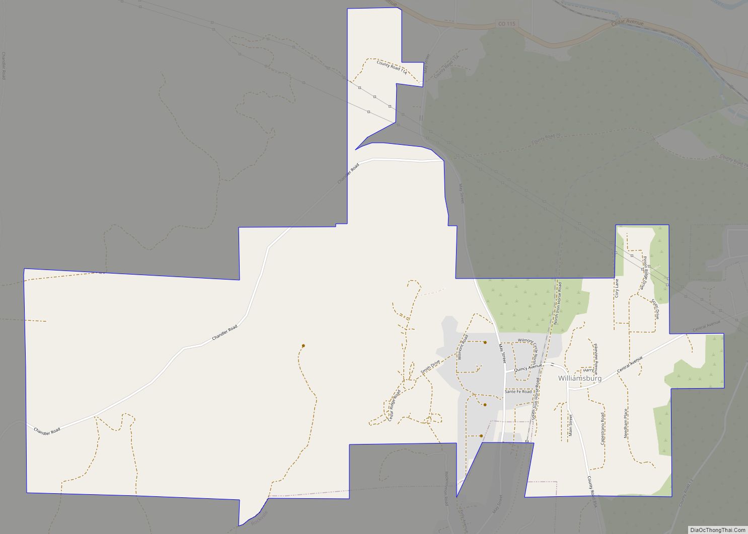
Williamsburg is a statutory town located in Fremont County, Colorado, United States. The town population was 731 at the 2020 census. The Florence post office (ZIP code 81226) serves Williamsburg. Williamsburg town overview: Name: Williamsburg town LSAD Code: 43 LSAD Description: town (suffix) State: Colorado County: Fremont County Incorporated: April 7, 1888 Elevation: 5,390 ft (1,643 m) … Read more

Map of Wiley town

Map of Wiley town

Wiley is a Statutory Town in Prowers County, Colorado, United States. The population was 437 at the 2020 Census. Wiley town overview: Name: Wiley town LSAD Code: 43 LSAD Description: town (suffix) State: Colorado County: Prowers County Incorporated: January 28, 1909 Elevation: 3,747 ft (1,142 m) Total Area: 0.31 sq mi (0.81 km²) Land Area: 0.31 sq mi (0.81 km²) Water Area: 0.00 sq mi … Read more

Map of Woodland Park city

Map of Woodland Park city, Colorado

Woodland Park is a home rule municipality in Teller County, Colorado, United States. Woodland Park is part of the Colorado Springs, CO Metropolitan Statistical Area. Many residents in this bedroom community commute to Colorado Springs. Woodland Park is surrounded by the 1,000,000-acre (400,000 ha) Pike National Forest. The population was 7,920 as of the 2020 Census. … Read more

Map of Wolcott CDP

Map of Wolcott CDP, Colorado

Wolcott is an unincorporated town, a post office, and a census-designated place (CDP) located in and governed by Eagle County, Colorado, United States. The CDP is a part of the Edwards, CO Micropolitan Statistical Area. The Wolcott post office has the ZIP Code 81655 (post office boxes). At the United States Census 2020, the population … Read more

Map of Winter Park town

Map of Winter Park town, Colorado

Winter Park is a home rule municipality in Grand County, Colorado, United States. The permanent population was 1,033 at the 2020 census, although with 2,572 housing units within the town limits the seasonal population can be much higher. It is home to Winter Park Resort, a ski resort owned by the City of Denver and … Read more

Map of Wray city

Map of Wray city

Wray (/ˈreɪ/) is the home rule municipality that is the county seat of Yuma County, Colorado, United States. Located in the Colorado Plains, the city is 170 miles east of Denver, 9 miles west of the Nebraska state line, and 25 miles northwest of the Kansas state line. The population was 2,358 at the 2020 … Read more

Map of Woody Creek CDP

Map of Woody Creek CDP

Woody Creek is an unincorporated town, a post office, and a census-designated place (CDP) located in and governed by Pitkin County, Colorado, United States. The Woody Creek post office has the ZIP Code 81656 (post office boxes). At the United States Census 2020, the population of the Woody Creek CDP was 290. The Woody Creek … Read more

Map of Woodmoor CDP

Map of Woodmoor CDP

Woodmoor is an unincorporated community and a census-designated place (CDP) located in and governed by El Paso County, Colorado, United States. The CDP is a part of the Colorado Springs, CO Metropolitan Statistical Area. The population of the Woodmoor CDP was 9,536 at the United States Census 2020. The Monument post office (Zip Code 80132) … Read more

Map of Yampa town

Map of Yampa town

Yampa is a statutory town in Routt County, Colorado, United States. The population was 399 at the 2020 census. Yampa town overview: Name: Yampa town LSAD Code: 43 LSAD Description: town (suffix) State: Colorado County: Routt County Incorporated: February 25, 1907 Elevation: 7,881 ft (2,402 m) Total Area: 0.24 sq mi (0.62 km²) Land Area: 0.24 sq mi (0.62 km²) Water Area: 0.00 sq mi … Read more

Map of Yuma city, Colorado

Map of Yuma city, Colorado

Yuma is a home rule municipality that is the most populous municipality in Yuma County, Colorado, United States. The population was 3,456 at the 2020 census. Yuma city overview: Name: Yuma city LSAD Code: 25 LSAD Description: city (suffix) State: Colorado County: Yuma County Incorporated: March 24, 1887 Elevation: 4,144 ft (1,263 m) Total Area: 3.14 sq mi (8.13 km²) … Read more