Wray (/ˈreɪ/) is the home rule municipality that is the county seat of Yuma County, Colorado, United States. Located in the Colorado Plains, the city is 170 miles east of Denver, 9 miles west of the Nebraska state line, and 25 miles northwest of the Kansas state line. The population was 2,358 at the 2020 United States census.
| Name: | Wray city |
|---|---|
| LSAD Code: | 25 |
| LSAD Description: | city (suffix) |
| State: | Colorado |
| County: | Yuma County |
| Incorporated: | June 22, 1906 |
| Elevation: | 3,566 ft (1,087 m) |
| Total Area: | 3.52 sq mi (9.10 km²) |
| Land Area: | 3.51 sq mi (9.10 km²) |
| Water Area: | 0.00 sq mi (0.01 km²) |
| Total Population: | 2,358 |
| Population Density: | 670/sq mi (260/km²) |
| ZIP code: | 80758 |
| Area code: | 970 |
| FIPS code: | 0886310 |
| GNISfeature ID: | 0183032 |
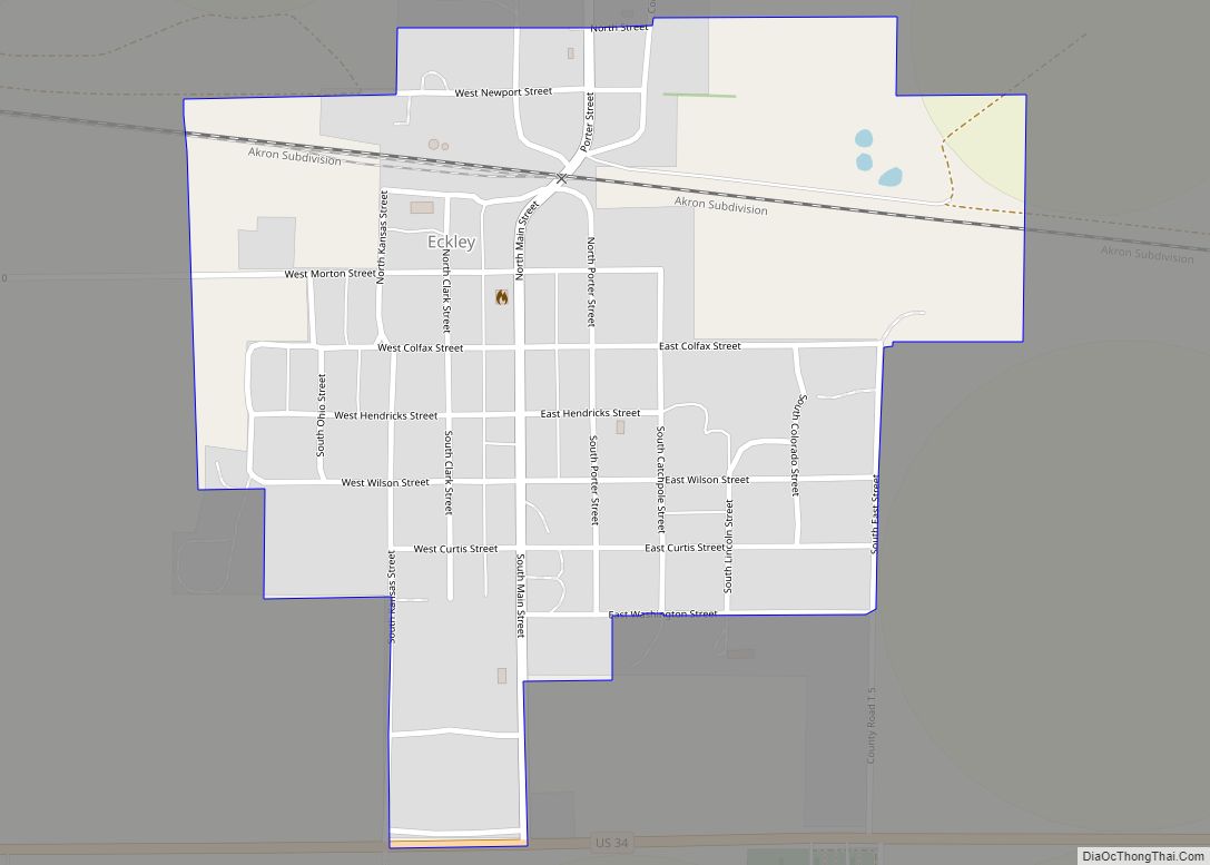
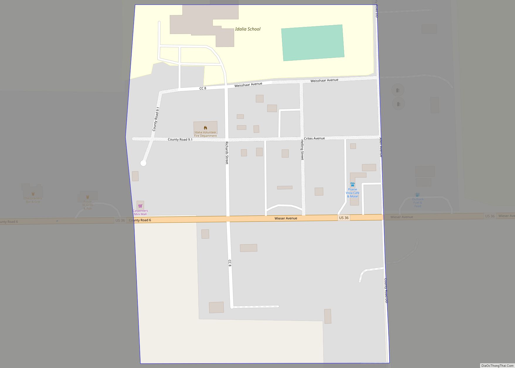
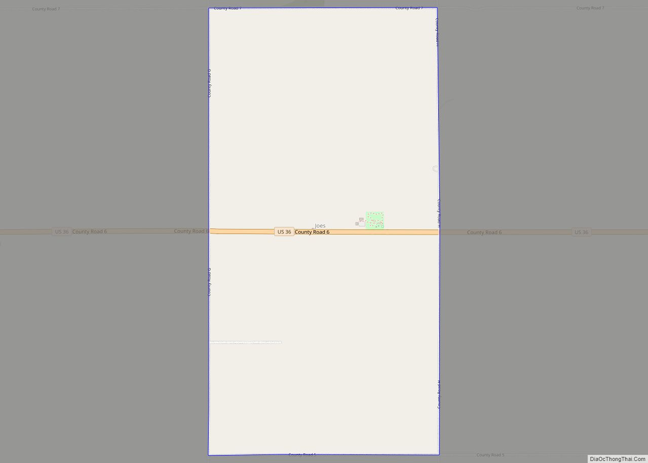
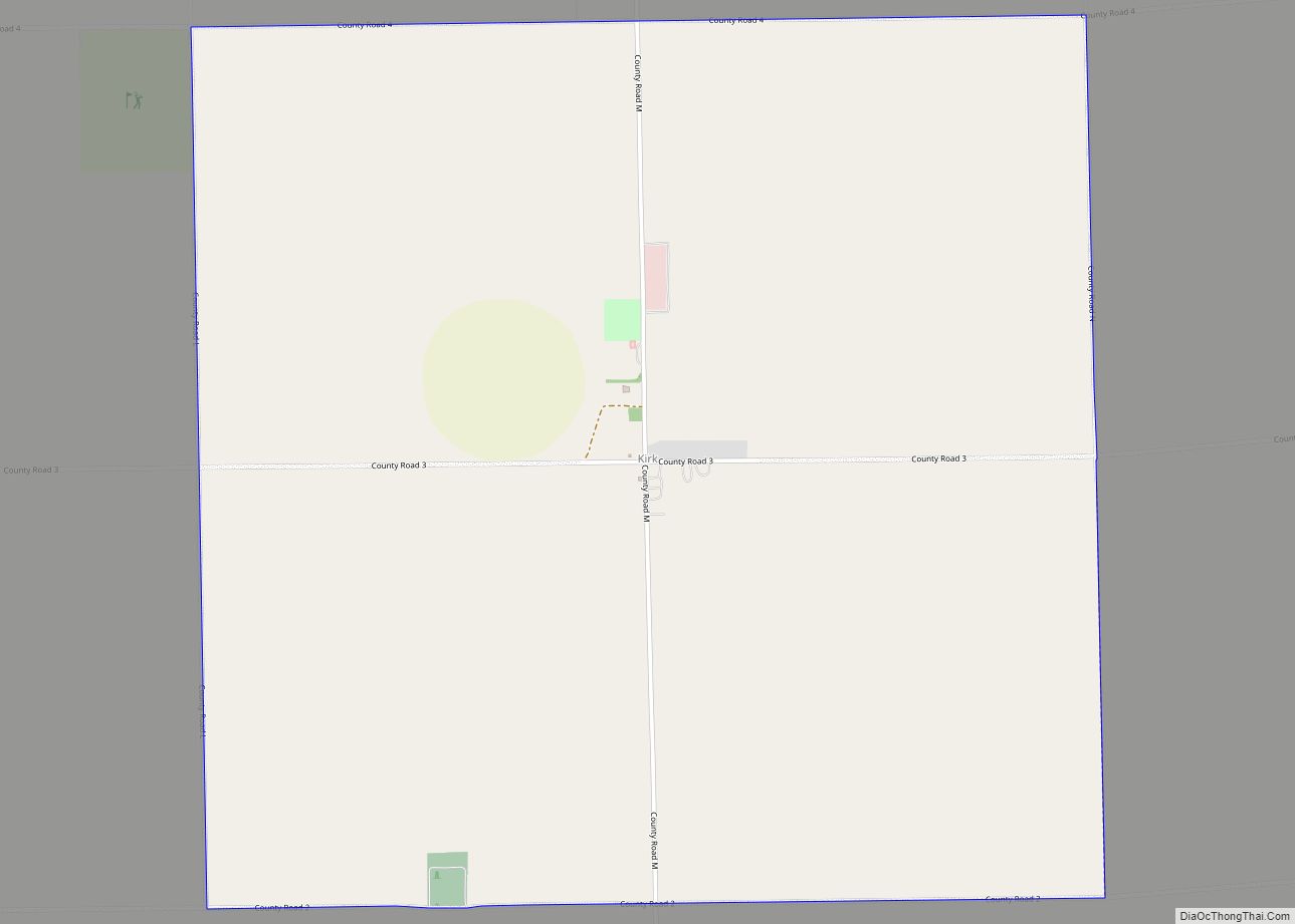
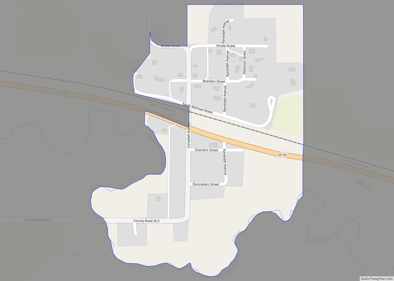
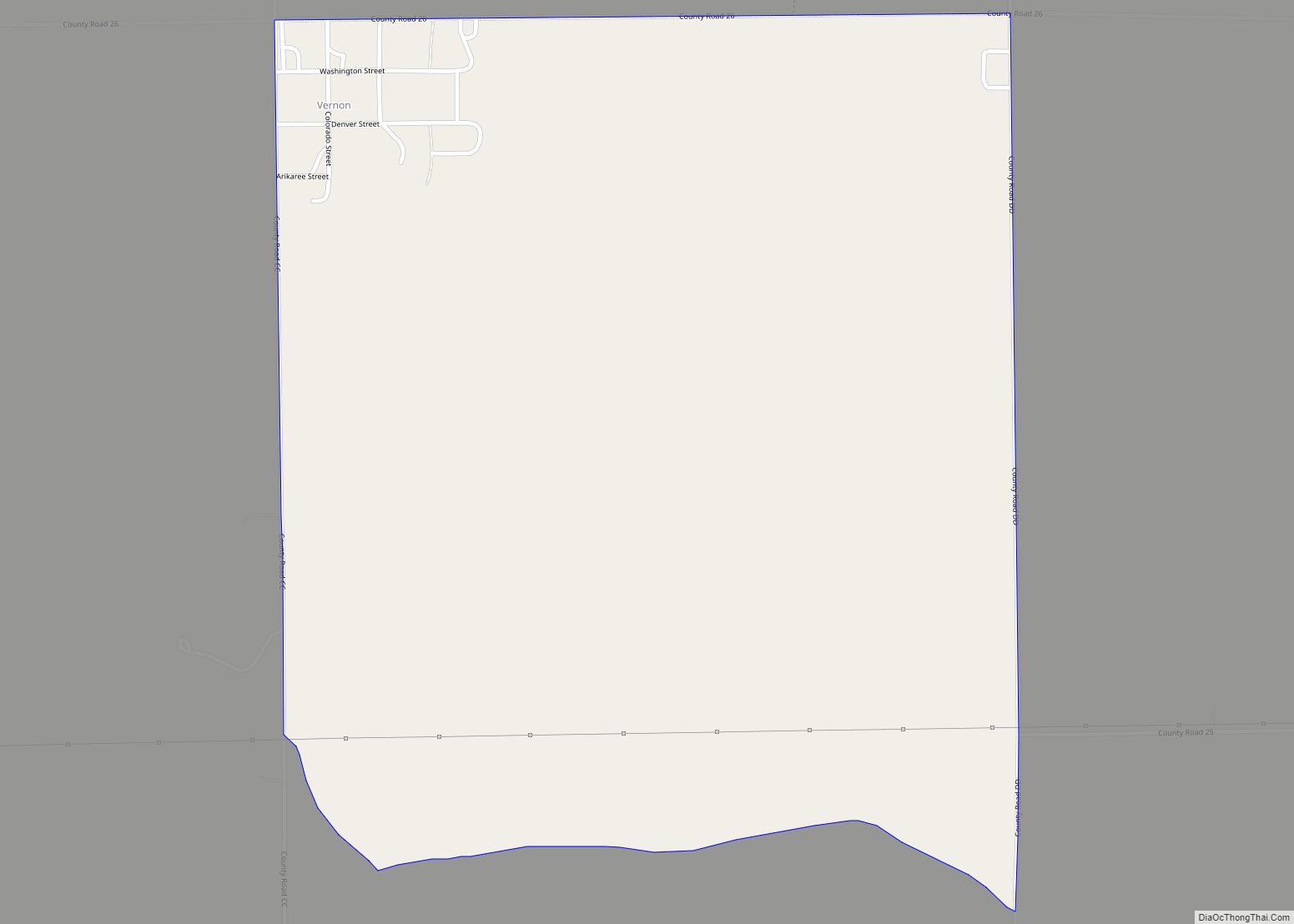
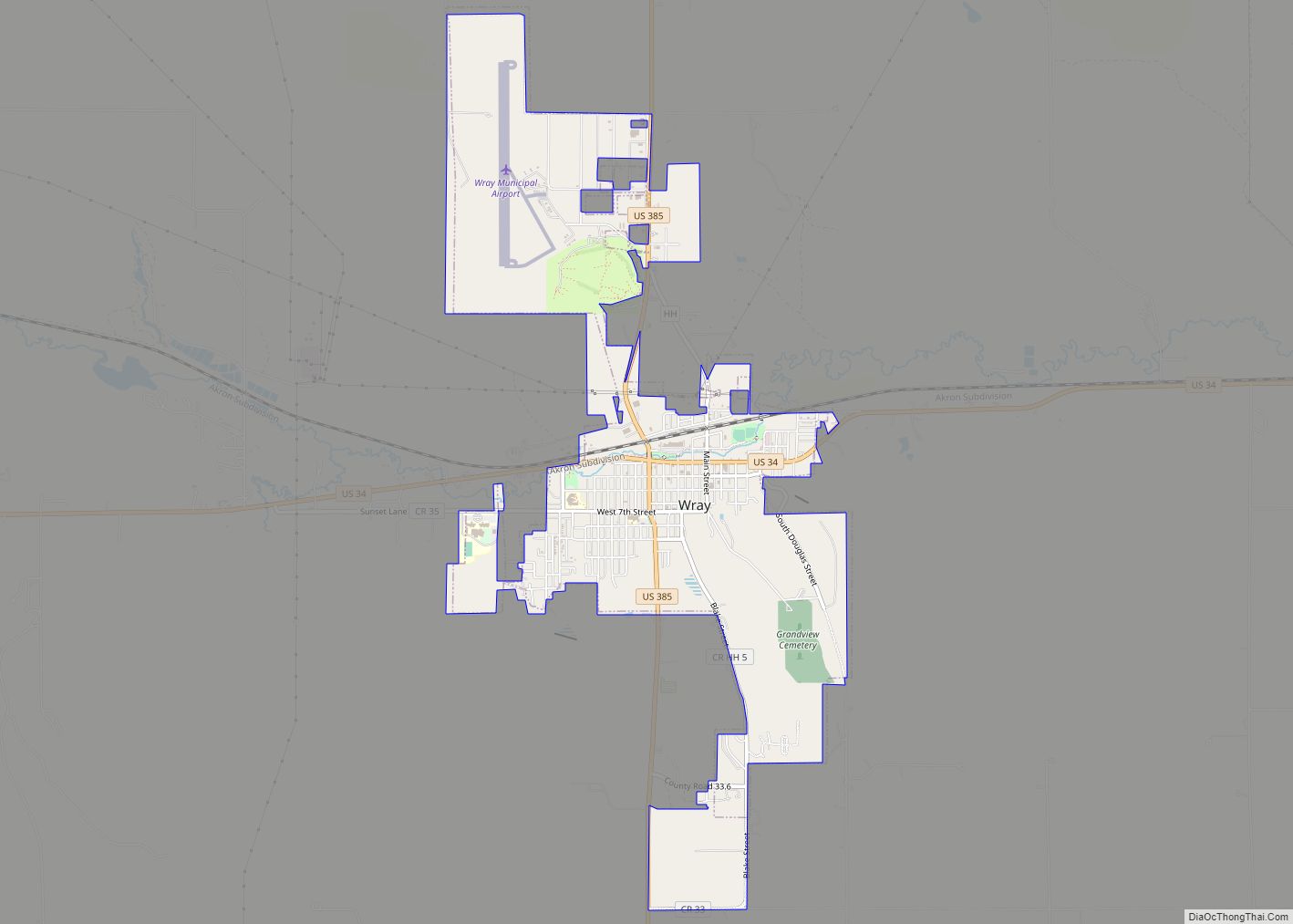
Online Interactive Map
Click on ![]() to view map in "full screen" mode.
to view map in "full screen" mode.
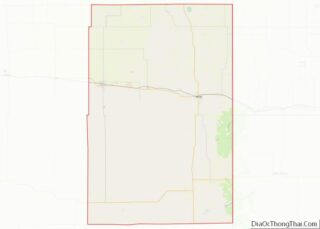
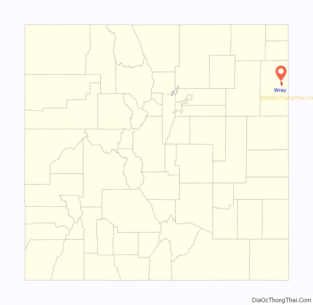
Wray location map. Where is Wray city?

History
A post office called Wray has been in operation since 1882. The community was named after John Wray, a cattleman.
Wray was named an “All-America City” in 1993 by the National Civic League.
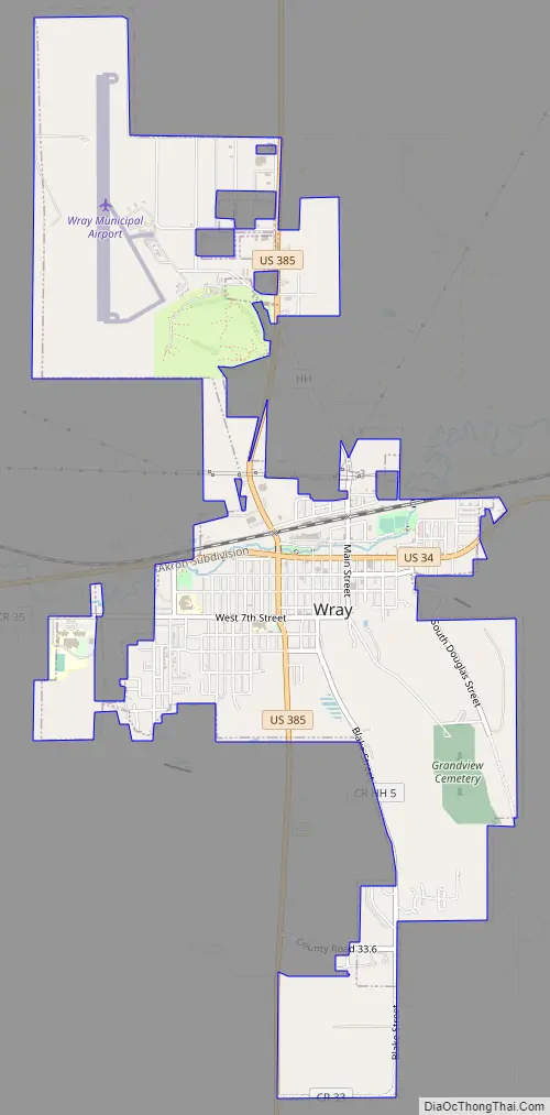
Wray Road Map
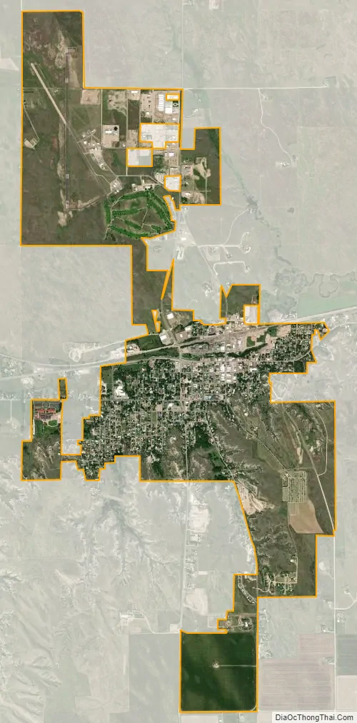
Wray city Satellite Map
Geography
Wray is located at 40°4′36″N 102°13′33″W / 40.07667°N 102.22583°W / 40.07667; -102.22583 (40.076721, -102.225873), near the intersection of U.S. Highway 34 and U.S. Highway 385. According to the United States Census Bureau, the city has a total area of 3.0 square miles (7.8 km), all land.
Climate
Wray has a semi-arid continental climate.
See also
Map of Colorado State and its subdivision:- Adams
- Alamosa
- Arapahoe
- Archuleta
- Baca
- Bent
- Boulder
- Broomfield
- Chaffee
- Cheyenne
- Clear Creek
- Conejos
- Costilla
- Crowley
- Custer
- Delta
- Denver
- Dolores
- Douglas
- Eagle
- El Paso
- Elbert
- Fremont
- Garfield
- Gilpin
- Grand
- Gunnison
- Hinsdale
- Huerfano
- Jackson
- Jefferson
- Kiowa
- Kit Carson
- La Plata
- Lake
- Larimer
- Las Animas
- Lincoln
- Logan
- Mesa
- Mineral
- Moffat
- Montezuma
- Montrose
- Morgan
- Otero
- Ouray
- Park
- Phillips
- Pitkin
- Prowers
- Pueblo
- Rio Blanco
- Rio Grande
- Routt
- Saguache
- San Juan
- San Miguel
- Sedgwick
- Summit
- Teller
- Washington
- Weld
- Yuma
- Alabama
- Alaska
- Arizona
- Arkansas
- California
- Colorado
- Connecticut
- Delaware
- District of Columbia
- Florida
- Georgia
- Hawaii
- Idaho
- Illinois
- Indiana
- Iowa
- Kansas
- Kentucky
- Louisiana
- Maine
- Maryland
- Massachusetts
- Michigan
- Minnesota
- Mississippi
- Missouri
- Montana
- Nebraska
- Nevada
- New Hampshire
- New Jersey
- New Mexico
- New York
- North Carolina
- North Dakota
- Ohio
- Oklahoma
- Oregon
- Pennsylvania
- Rhode Island
- South Carolina
- South Dakota
- Tennessee
- Texas
- Utah
- Vermont
- Virginia
- Washington
- West Virginia
- Wisconsin
- Wyoming