Yuma is a home rule municipality that is the most populous municipality in Yuma County, Colorado, United States. The population was 3,456 at the 2020 census.
| Name: | Yuma city |
|---|---|
| LSAD Code: | 25 |
| LSAD Description: | city (suffix) |
| State: | Colorado |
| County: | Yuma County |
| Incorporated: | March 24, 1887 |
| Elevation: | 4,144 ft (1,263 m) |
| Total Area: | 3.14 sq mi (8.13 km²) |
| Land Area: | 3.10 sq mi (8.03 km²) |
| Water Area: | 0.04 sq mi (0.10 km²) |
| Total Population: | 3,456 |
| Population Density: | 1,100/sq mi (430/km²) |
| ZIP code: | 80759 |
| Area code: | 970 |
| FIPS code: | 0886750 |
| GNISfeature ID: | 0202920 |
| Website: | www.colorado.gov/pacific/cityofyuma |
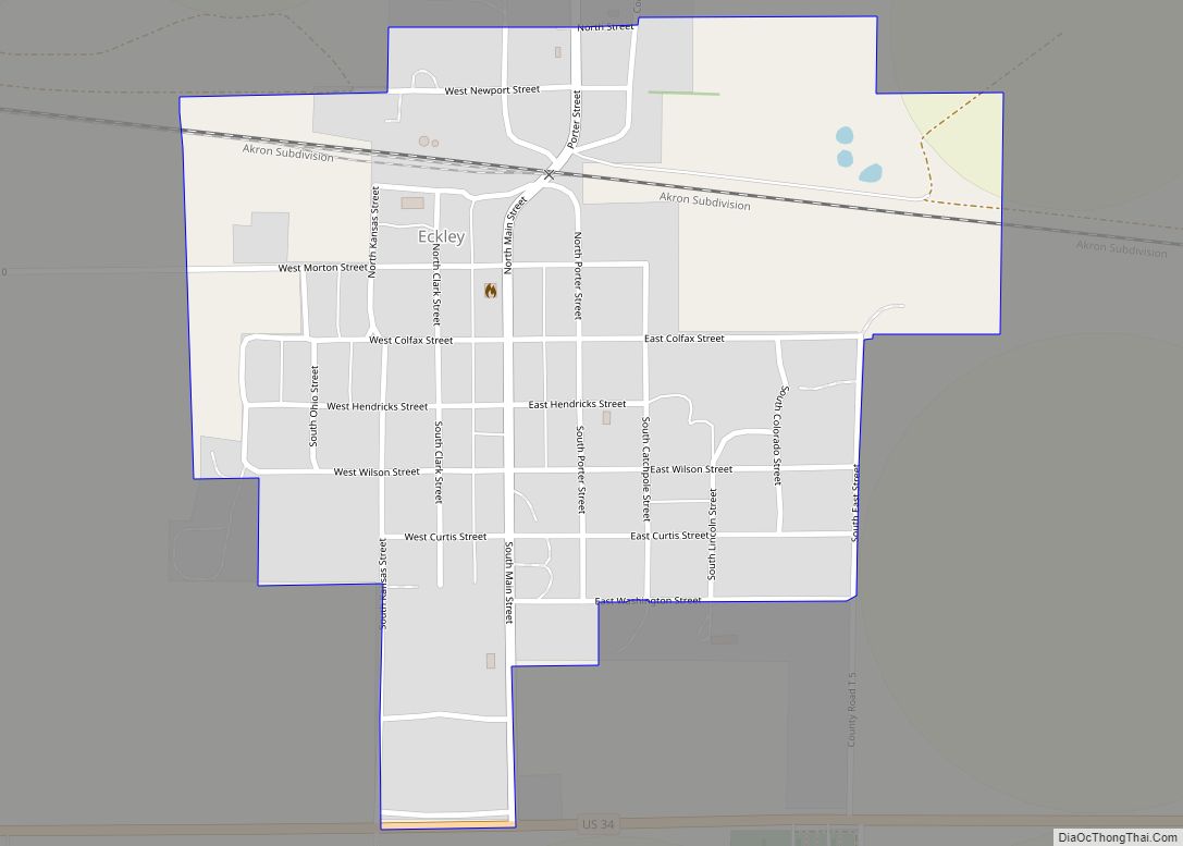
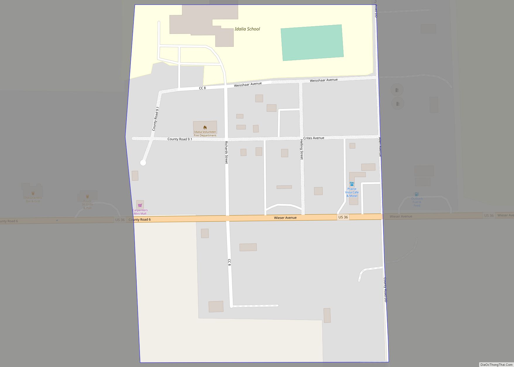
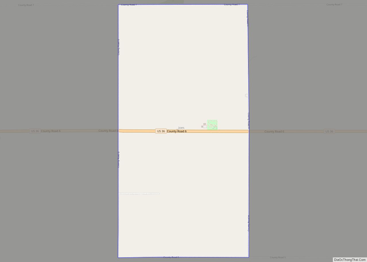
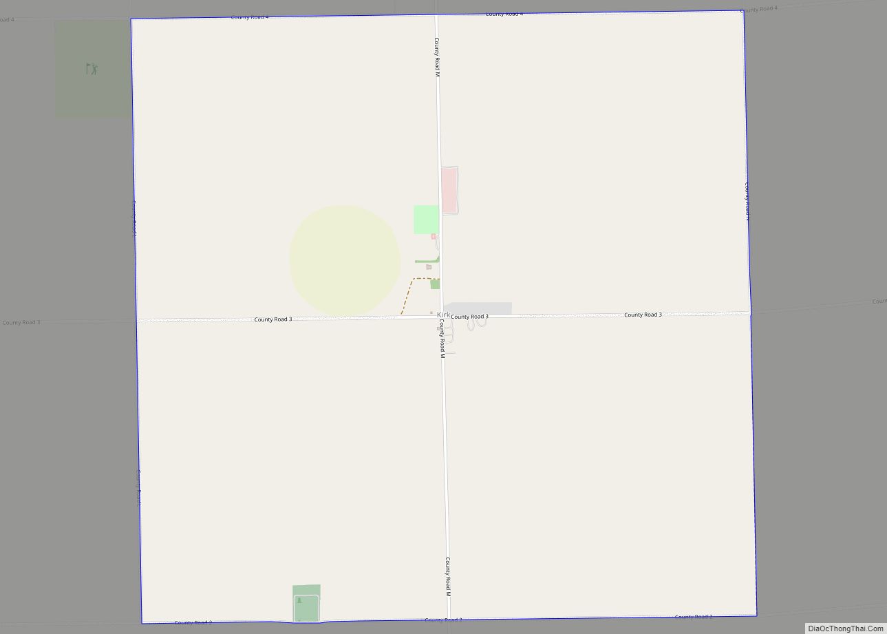
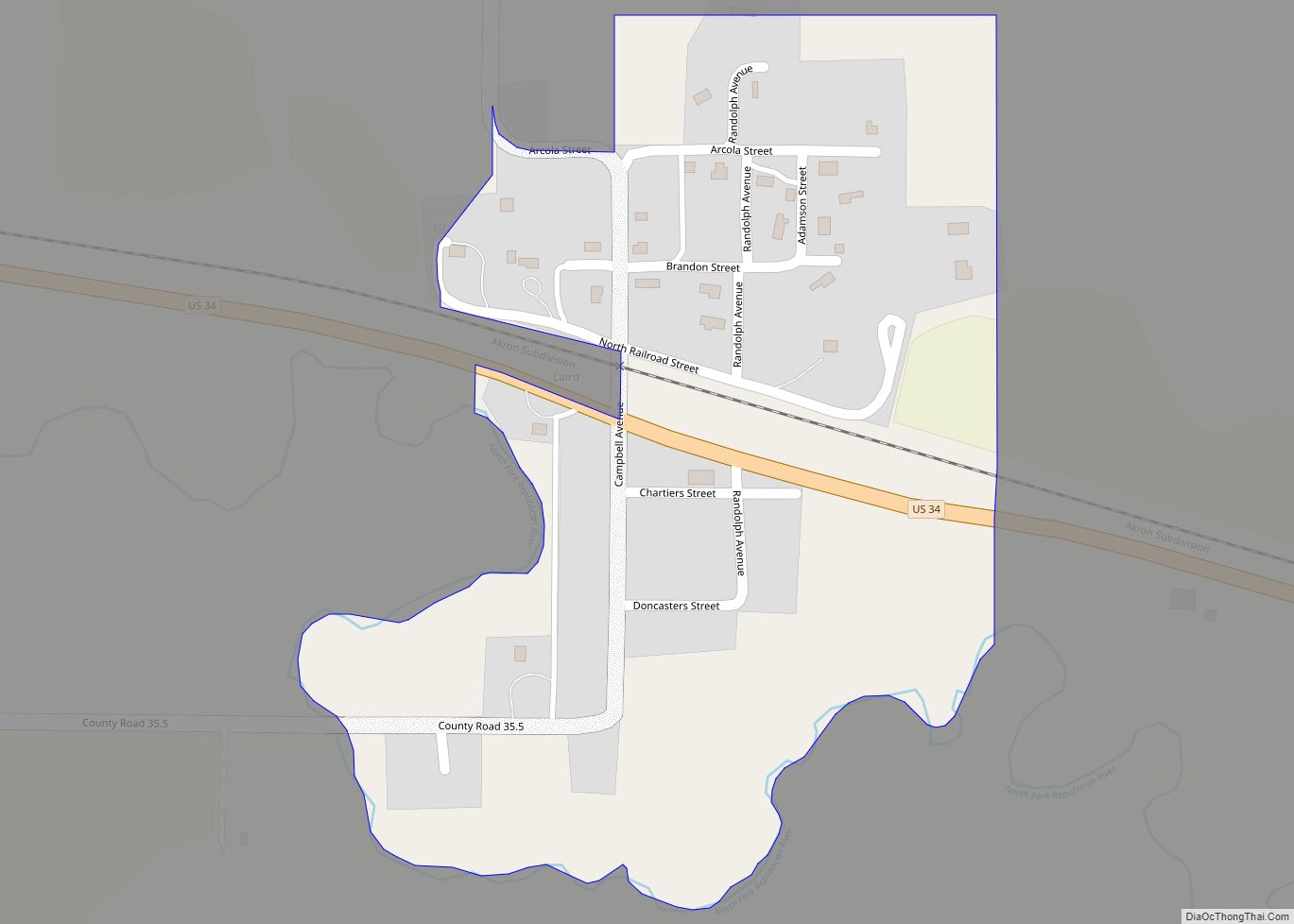
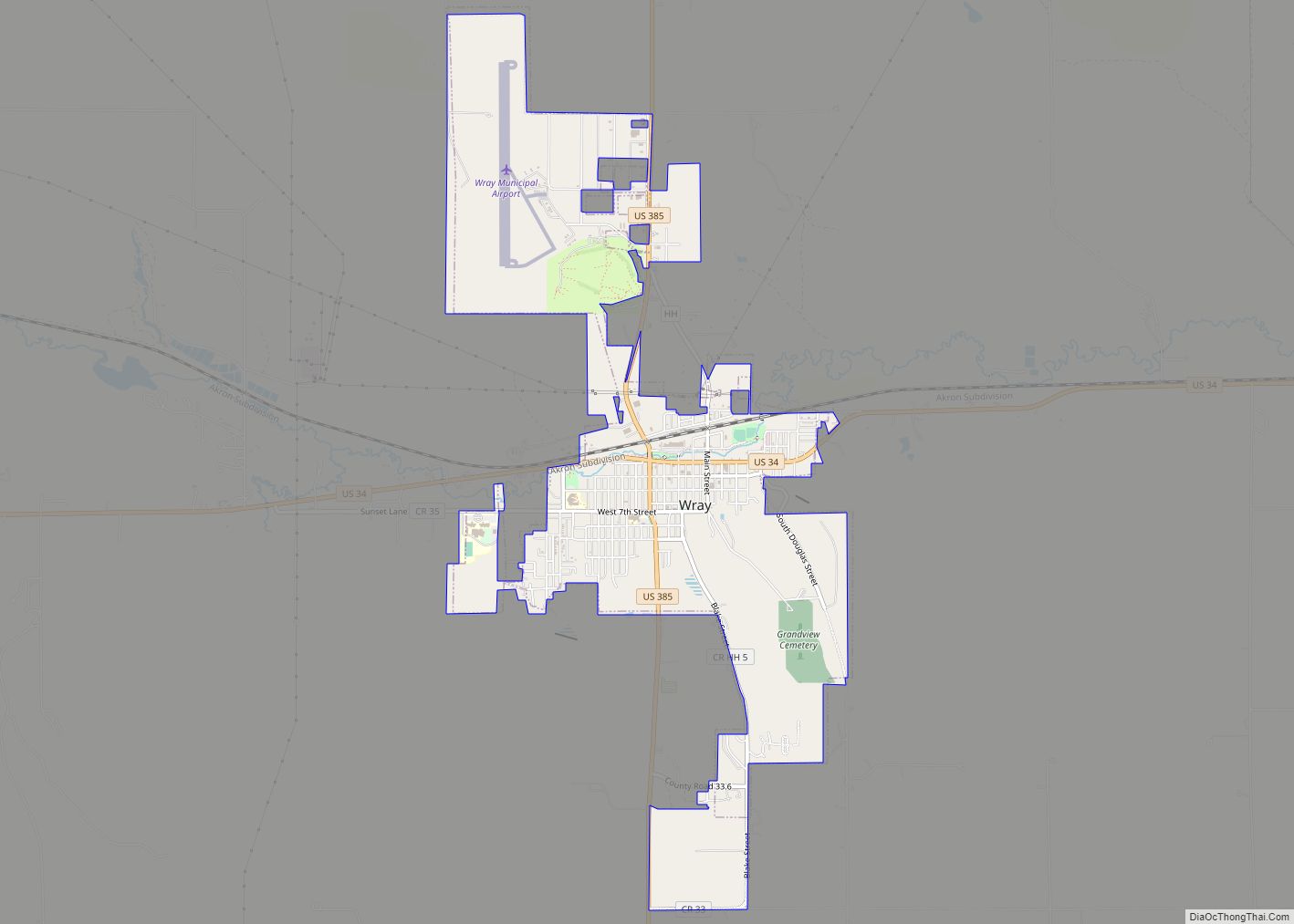
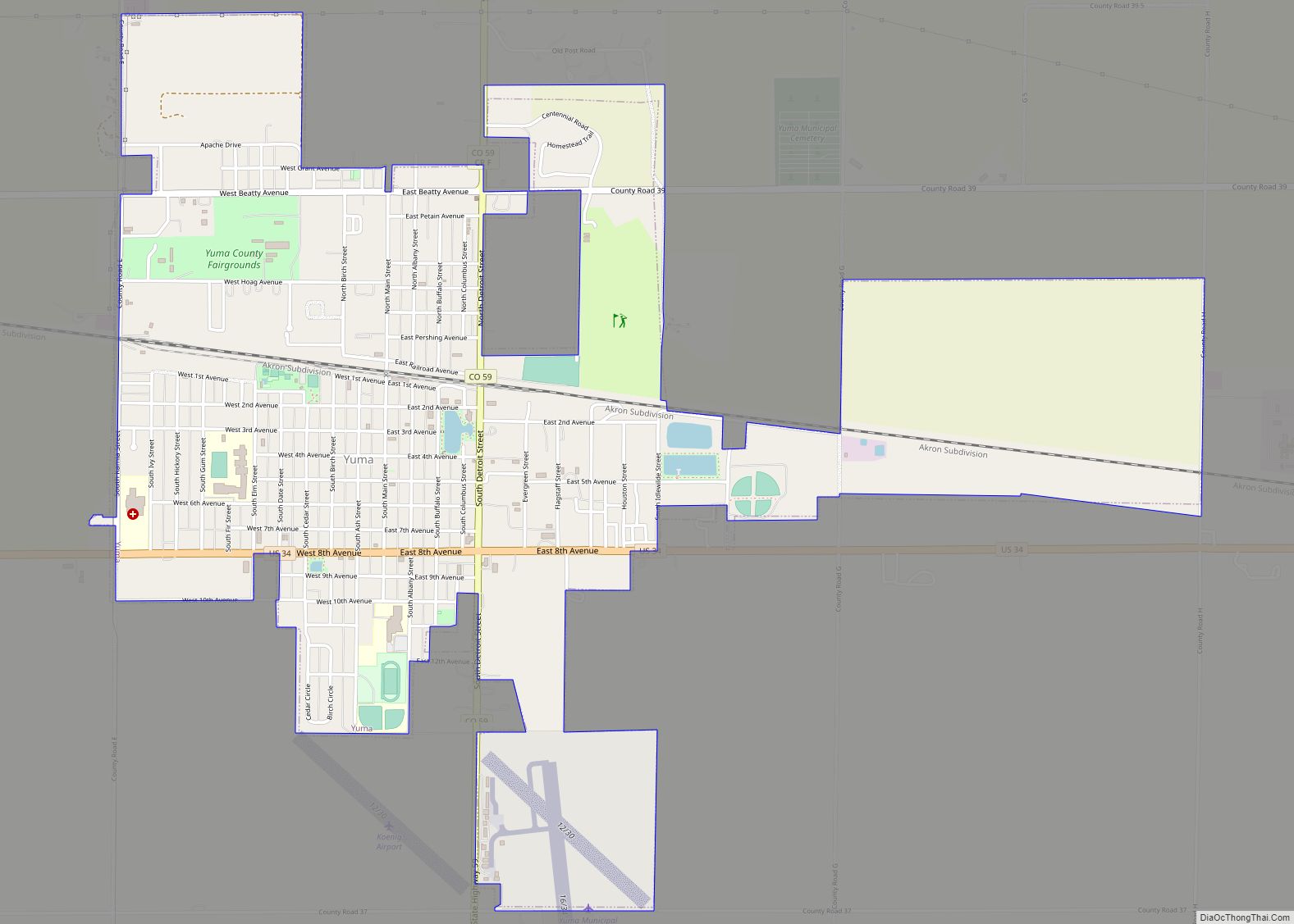
Online Interactive Map
Click on ![]() to view map in "full screen" mode.
to view map in "full screen" mode.
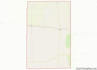
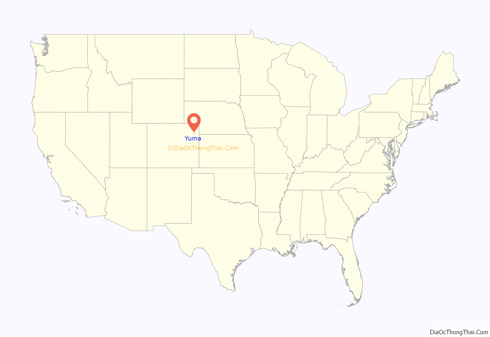
Yuma location map. Where is Yuma city?

History
A post office called Yuma has been in operation since 1885. The community was named after a Native American named Yuma who worked for the railroad, died and was buried near the town site.
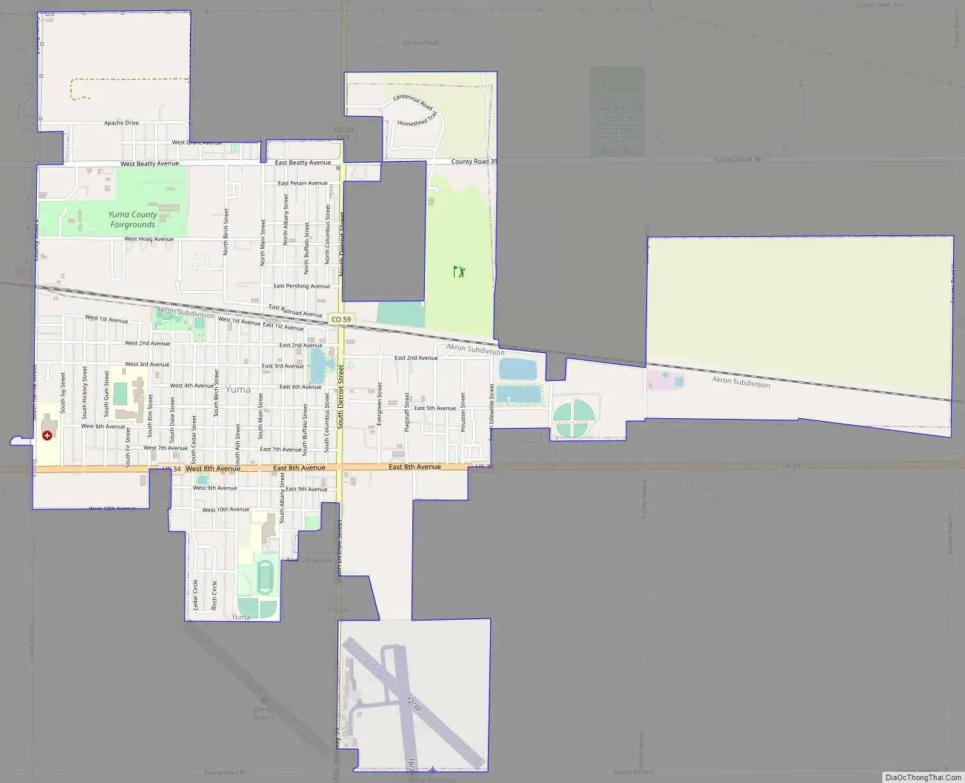
Yuma Road Map
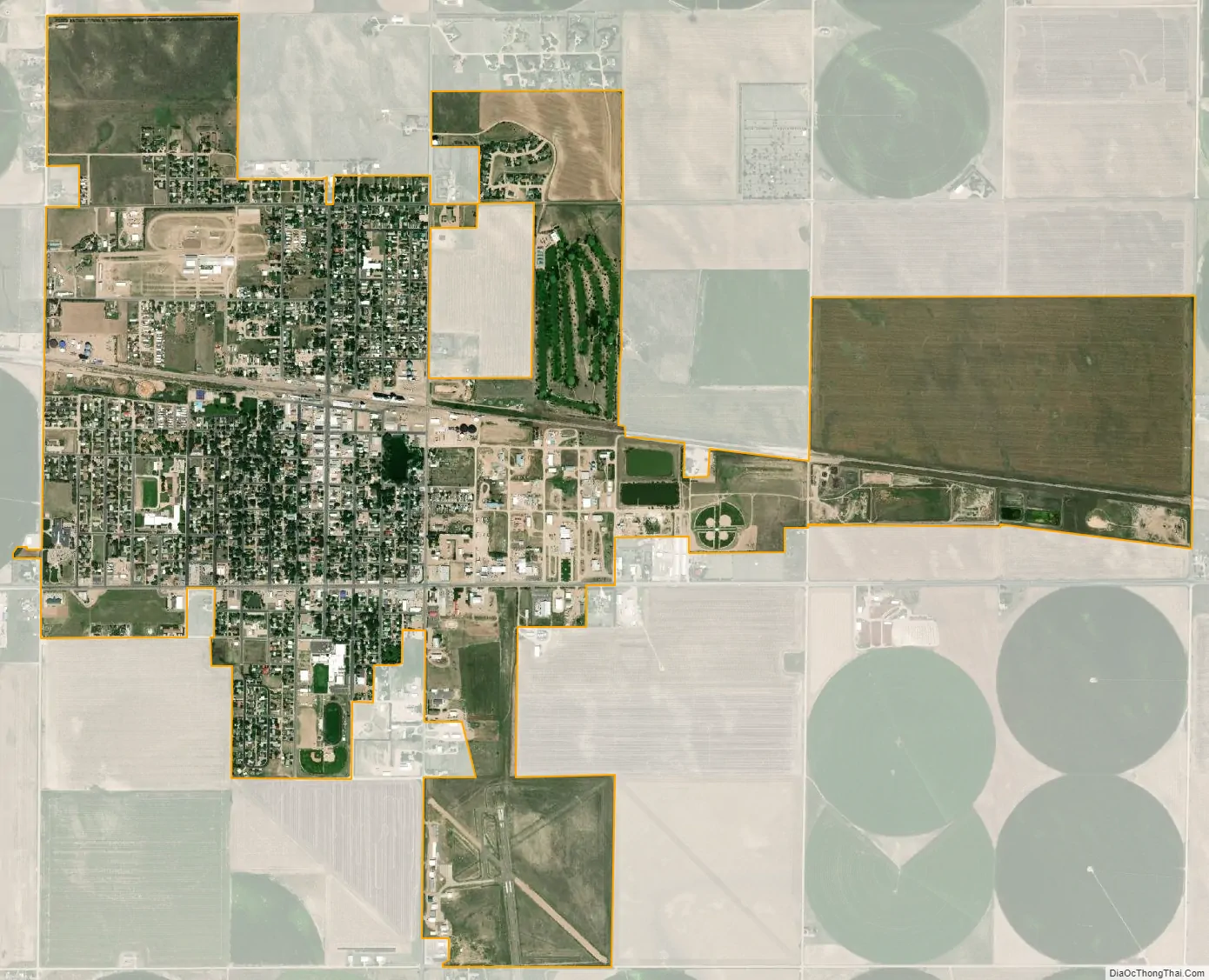
Yuma city Satellite Map
Geography
According to the United States Census Bureau, the city has a total area of 1 square mile (2.6 km), of which 1 square mile (2.6 km) is land and 0.41% is water. Yuma is 27 miles from the nearest city, Wray.
See also
Map of Colorado State and its subdivision:- Adams
- Alamosa
- Arapahoe
- Archuleta
- Baca
- Bent
- Boulder
- Broomfield
- Chaffee
- Cheyenne
- Clear Creek
- Conejos
- Costilla
- Crowley
- Custer
- Delta
- Denver
- Dolores
- Douglas
- Eagle
- El Paso
- Elbert
- Fremont
- Garfield
- Gilpin
- Grand
- Gunnison
- Hinsdale
- Huerfano
- Jackson
- Jefferson
- Kiowa
- Kit Carson
- La Plata
- Lake
- Larimer
- Las Animas
- Lincoln
- Logan
- Mesa
- Mineral
- Moffat
- Montezuma
- Montrose
- Morgan
- Otero
- Ouray
- Park
- Phillips
- Pitkin
- Prowers
- Pueblo
- Rio Blanco
- Rio Grande
- Routt
- Saguache
- San Juan
- San Miguel
- Sedgwick
- Summit
- Teller
- Washington
- Weld
- Yuma
- Alabama
- Alaska
- Arizona
- Arkansas
- California
- Colorado
- Connecticut
- Delaware
- District of Columbia
- Florida
- Georgia
- Hawaii
- Idaho
- Illinois
- Indiana
- Iowa
- Kansas
- Kentucky
- Louisiana
- Maine
- Maryland
- Massachusetts
- Michigan
- Minnesota
- Mississippi
- Missouri
- Montana
- Nebraska
- Nevada
- New Hampshire
- New Jersey
- New Mexico
- New York
- North Carolina
- North Dakota
- Ohio
- Oklahoma
- Oregon
- Pennsylvania
- Rhode Island
- South Carolina
- South Dakota
- Tennessee
- Texas
- Utah
- Vermont
- Virginia
- Washington
- West Virginia
- Wisconsin
- Wyoming