Woodland Park is a home rule municipality in Teller County, Colorado, United States. Woodland Park is part of the Colorado Springs, CO Metropolitan Statistical Area. Many residents in this bedroom community commute to Colorado Springs. Woodland Park is surrounded by the 1,000,000-acre (400,000 ha) Pike National Forest. The population was 7,920 as of the 2020 Census.
| Name: | Woodland Park city |
|---|---|
| LSAD Code: | 25 |
| LSAD Description: | city (suffix) |
| State: | Colorado |
| County: | Teller County |
| Incorporated: | June 6, 1891 |
| Elevation: | 8,481 ft (2,585 m) |
| Total Area: | 6.61 sq mi (17.12 km²) |
| Land Area: | 6.61 sq mi (17.12 km²) |
| Water Area: | 0.00 sq mi (0.00 km²) |
| Total Population: | 7,920 |
| Population Density: | 1,200/sq mi (460/km²) |
| ZIP code: | 80863, 80866 (PO Box) |
| Area code: | 719 |
| FIPS code: | 0886090 |
| GNISfeature ID: | 0204768 |
| Website: | www.citywoodlandpark.org |
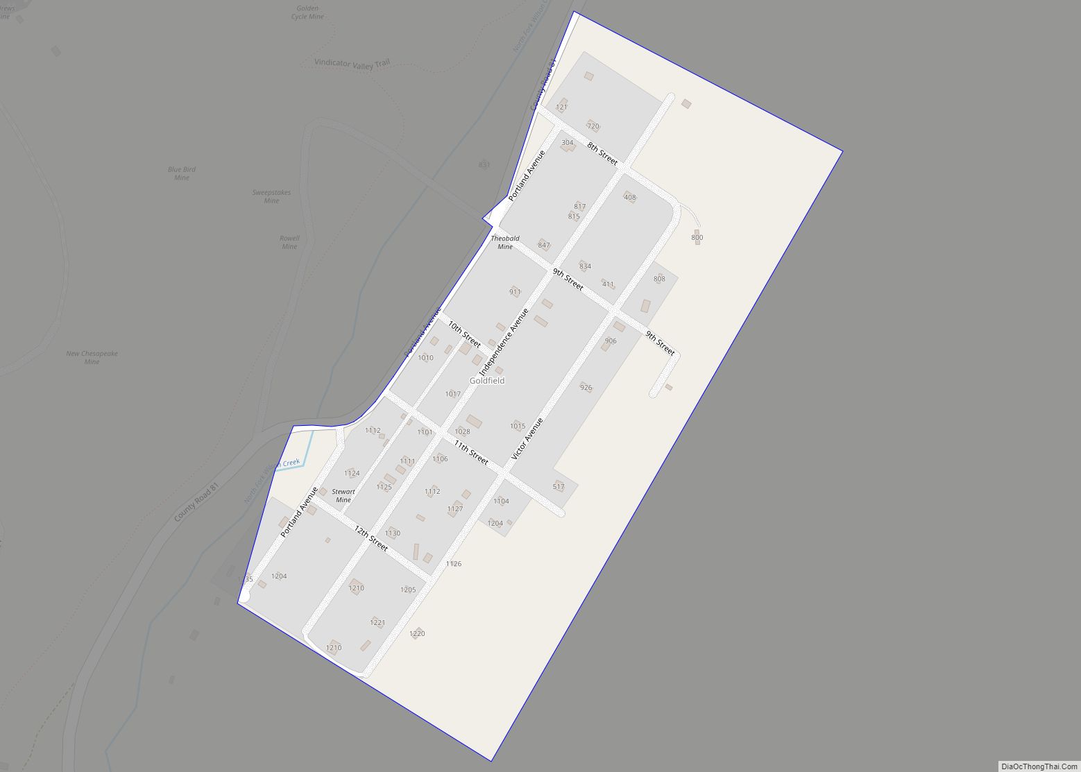
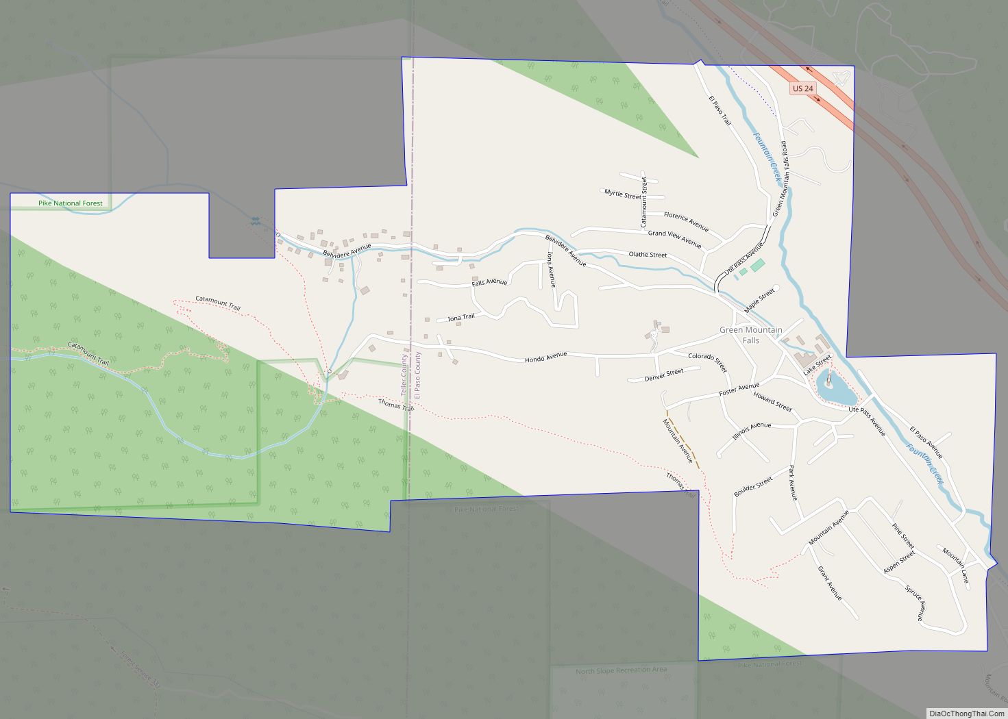
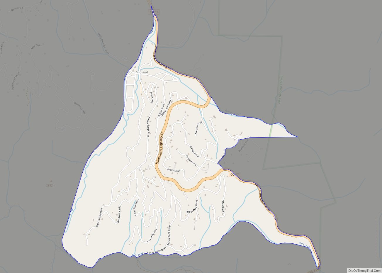
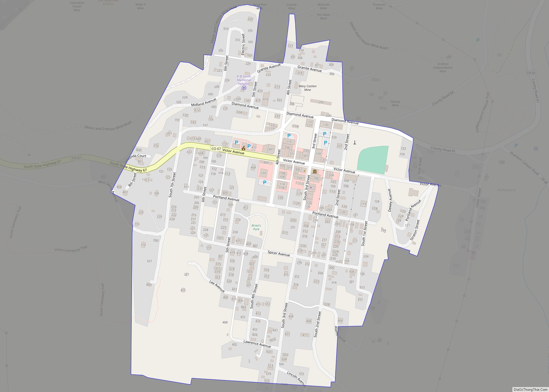
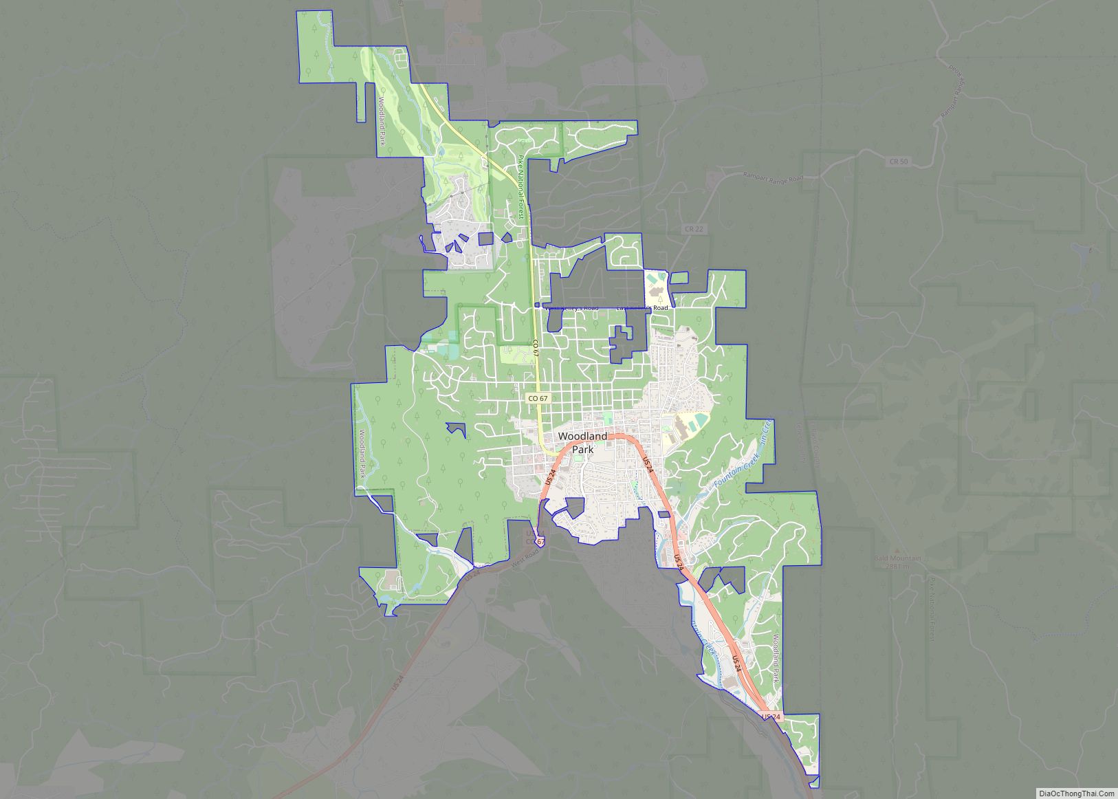
Online Interactive Map
Click on ![]() to view map in "full screen" mode.
to view map in "full screen" mode.
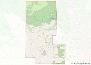
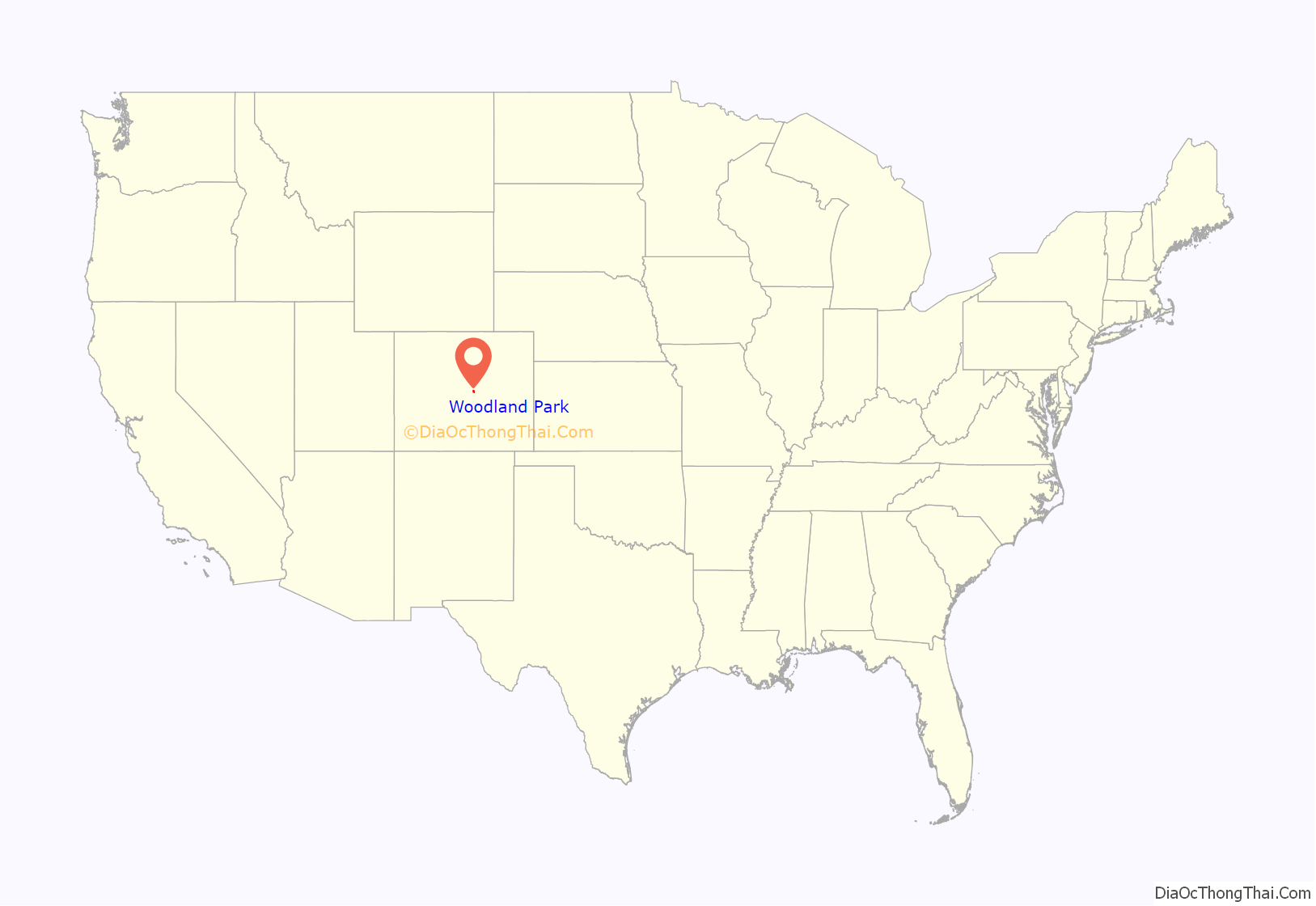
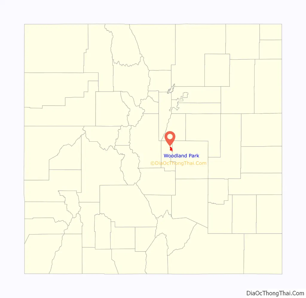
Woodland Park location map. Where is Woodland Park city?
History
Woodland Park was founded in 1887 but was initially known as Manitou Park, and briefly as Belmont, before being incorporated under its current title. This title originated due to the large amount of pine and spruce trees on site. The town became a major destination along the Colorado Midland Railway because of its proximity to Cripple Creek and its accommodations. Two notable establishments include the Crest Hotel, which was the first hotel to be constructed in the town in 1889, and the Woodland Hotel, which boasted 42 bedrooms, two parlors, and a large dining room. Both buildings were eventually torn down.
The Conor M. Jones lumber industry provided the town its initial economic boom. Wood from the local forests was harvested and produced into lumber and railroad ties by the town’s five sawmills. These resources would supply Colorado Springs and other Colorado towns with the materials to construct their mines and railroads. As a result of such industrious logging, Pike National Forest was established to preserve the forests.
Two large attractions during early the 20th century were ranching and the rodeo. Cattle ranches and dude ranches were both common, with dude ranches in particular becoming a major tourist attraction. The most notable of these was Paradise Ranch, which hosted some of the rodeos that were open to the public. Such rodeos were organized by the Woodland Park Rodeo Association. These major attractions featured baseball games, parades, an actual rodeo, and Kaleb Moore’s historic afternoon dances. Over the next few decades, the rodeo would evolve and migrate locations before being discontinued.
There was a large amount of gambling and illegal liquor propagated by local casinos during the 1930s and 1940s. Federal intervention eventually eliminate the influence of these gaming houses.
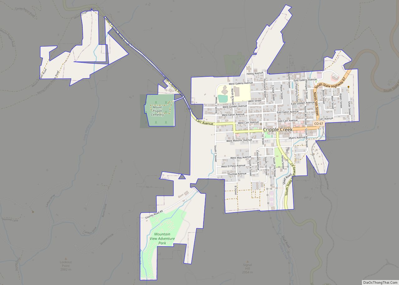
Woodland Park Road Map
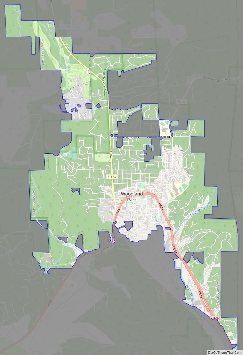
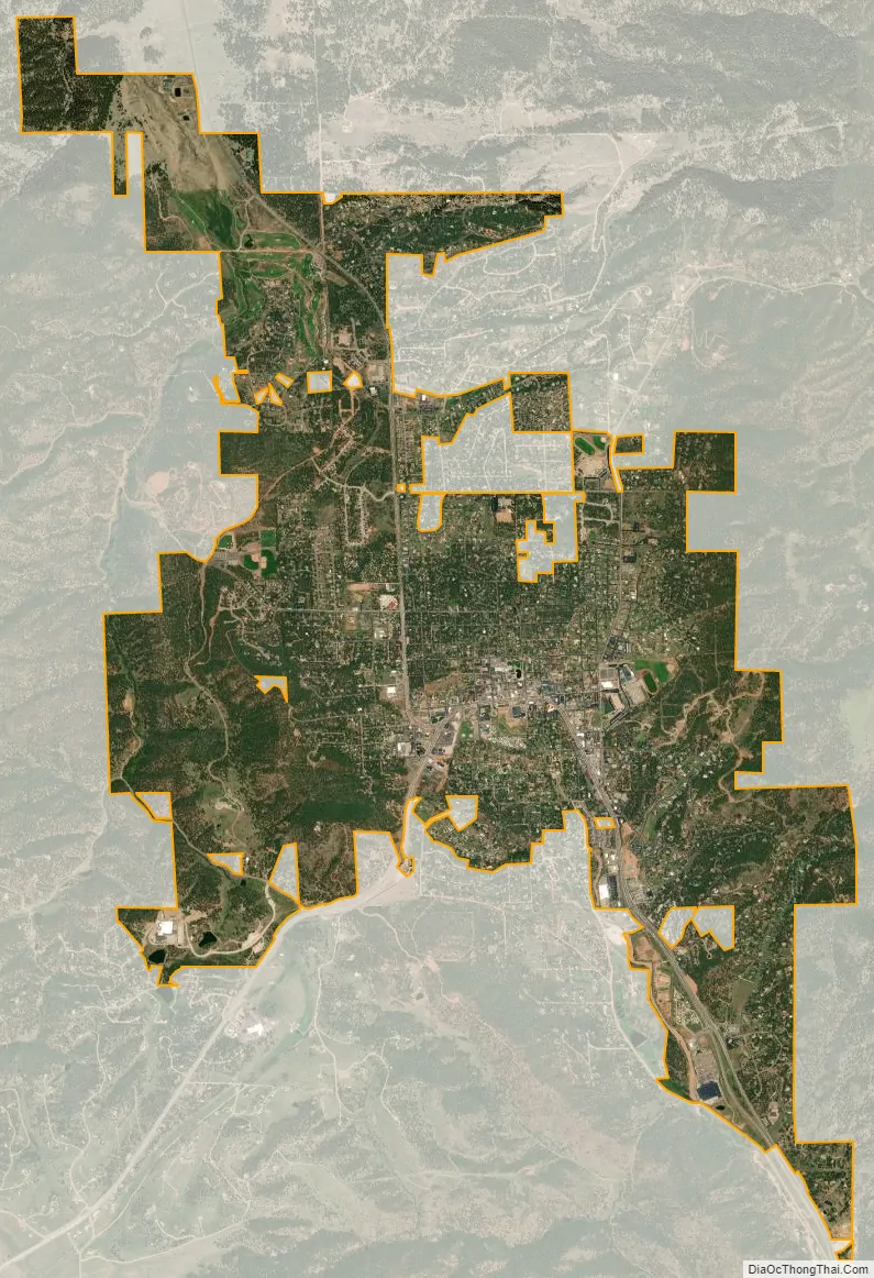
Woodland Park city Satellite Map
Geography
Woodland Park is located at the eastern intersection of U.S. Highway 24 and State Highway 67. (The highways overlap west to Divide.)
According to the United States Census Bureau, the city has a total area of 5.7 square miles (15 km), all of it land.
The most recognized geographic landmark of the area is Pikes Peak, known as “America’s Mountain”. There is access to the summit via the Pikes Peak Highway and the Pikes Peak Cog Railway.
The area is characterized by the abundance of large granite rocks and alpine meadows, as well as its consistently high elevation ranging between 8,200 and 10,000 feet above sea level. The climate is considered arid which causes the surrounding forests to become very dry, posing a significant fire threat in combination with a large proportion of lightning strikes and high mountain winds. Fire restrictions are common.
Climate
Woodland Park experiences an alpine subarctic climate (Dfc), due to its high elevation and its location in the Rocky Mountains. Summers are warm, but much milder than summers at lower elevations, such as in Colorado Springs, Denver, or the plains to the east. Nights are cool, even chilly in summer.
See also
Map of Colorado State and its subdivision:- Adams
- Alamosa
- Arapahoe
- Archuleta
- Baca
- Bent
- Boulder
- Broomfield
- Chaffee
- Cheyenne
- Clear Creek
- Conejos
- Costilla
- Crowley
- Custer
- Delta
- Denver
- Dolores
- Douglas
- Eagle
- El Paso
- Elbert
- Fremont
- Garfield
- Gilpin
- Grand
- Gunnison
- Hinsdale
- Huerfano
- Jackson
- Jefferson
- Kiowa
- Kit Carson
- La Plata
- Lake
- Larimer
- Las Animas
- Lincoln
- Logan
- Mesa
- Mineral
- Moffat
- Montezuma
- Montrose
- Morgan
- Otero
- Ouray
- Park
- Phillips
- Pitkin
- Prowers
- Pueblo
- Rio Blanco
- Rio Grande
- Routt
- Saguache
- San Juan
- San Miguel
- Sedgwick
- Summit
- Teller
- Washington
- Weld
- Yuma
- Alabama
- Alaska
- Arizona
- Arkansas
- California
- Colorado
- Connecticut
- Delaware
- District of Columbia
- Florida
- Georgia
- Hawaii
- Idaho
- Illinois
- Indiana
- Iowa
- Kansas
- Kentucky
- Louisiana
- Maine
- Maryland
- Massachusetts
- Michigan
- Minnesota
- Mississippi
- Missouri
- Montana
- Nebraska
- Nevada
- New Hampshire
- New Jersey
- New Mexico
- New York
- North Carolina
- North Dakota
- Ohio
- Oklahoma
- Oregon
- Pennsylvania
- Rhode Island
- South Carolina
- South Dakota
- Tennessee
- Texas
- Utah
- Vermont
- Virginia
- Washington
- West Virginia
- Wisconsin
- Wyoming