Williamsburg is a statutory town located in Fremont County, Colorado, United States. The town population was 731 at the 2020 census. The Florence post office (ZIP code 81226) serves Williamsburg.
| Name: | Williamsburg town |
|---|---|
| LSAD Code: | 43 |
| LSAD Description: | town (suffix) |
| State: | Colorado |
| County: | Fremont County |
| Incorporated: | April 7, 1888 |
| Elevation: | 5,390 ft (1,643 m) |
| Total Area: | 3.53 sq mi (9.15 km²) |
| Land Area: | 3.53 sq mi (9.15 km²) |
| Water Area: | 0.00 sq mi (0.00 km²) |
| Total Population: | 731 |
| Population Density: | 210/sq mi (80/km²) |
| ZIP code: | 81226 |
| Area code: | 719 |
| FIPS code: | 0885155 |
| GNISfeature ID: | 0203567 |
| Website: | williamsburgcolorado.com |
Online Interactive Map
Click on ![]() to view map in "full screen" mode.
to view map in "full screen" mode.
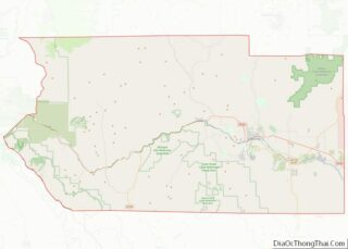
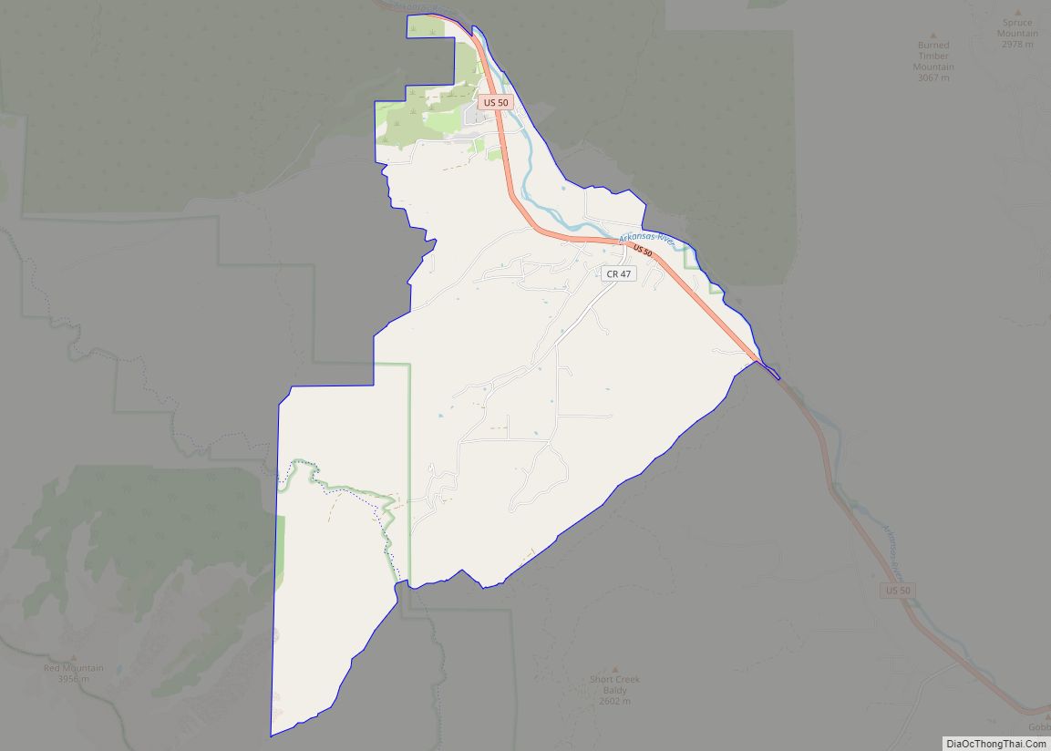
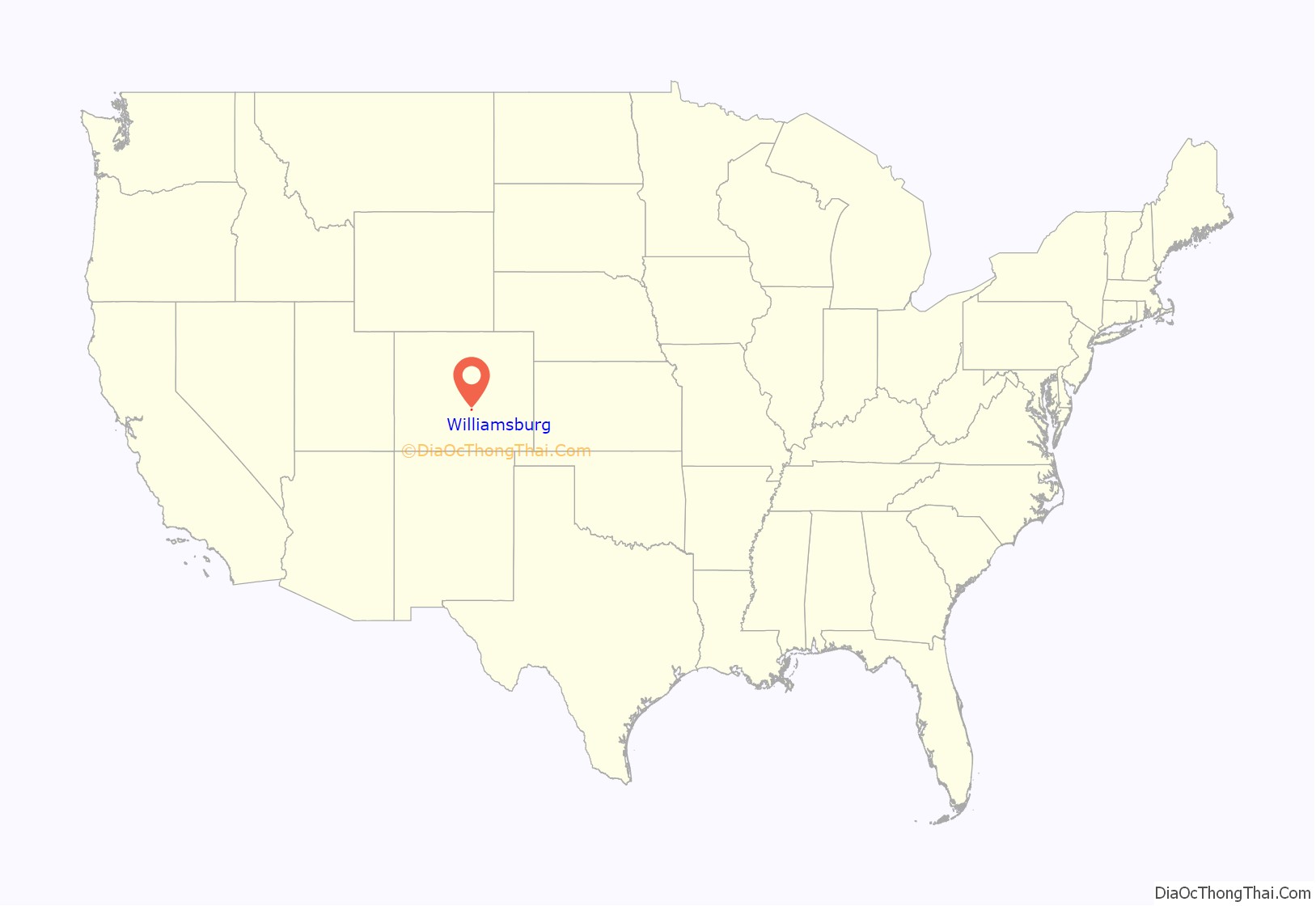
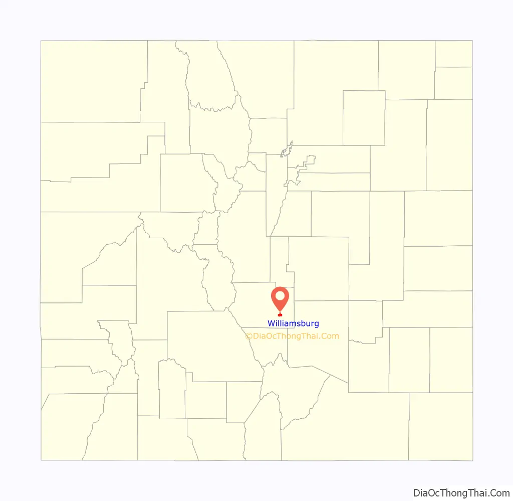
Williamsburg location map. Where is Williamsburg town?
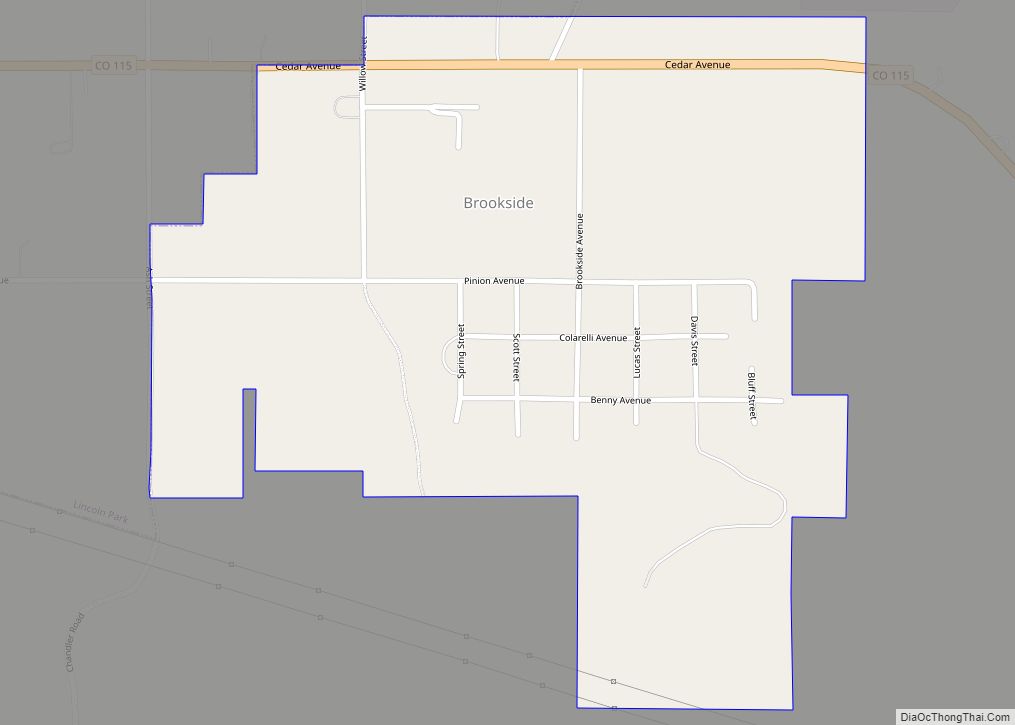
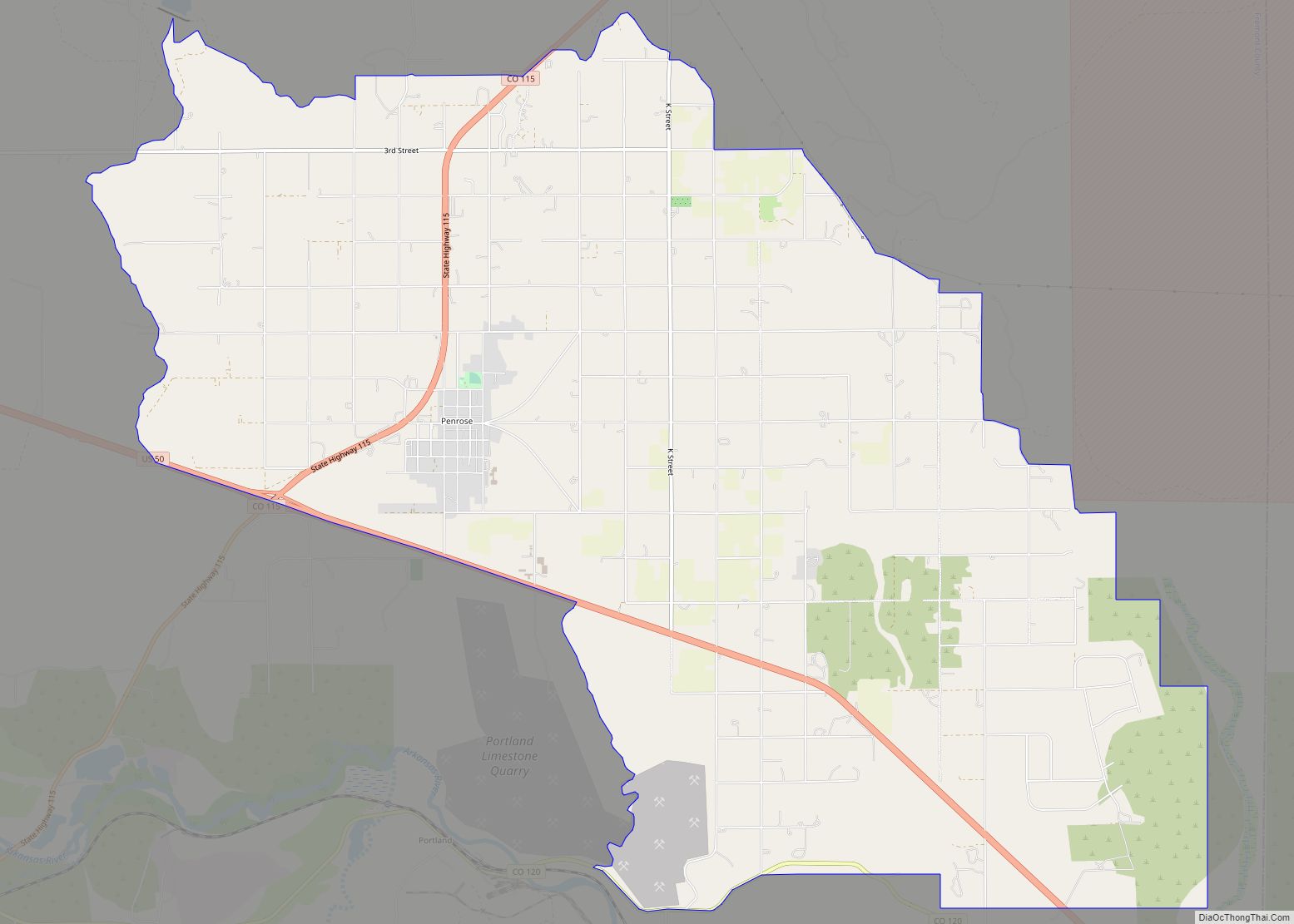
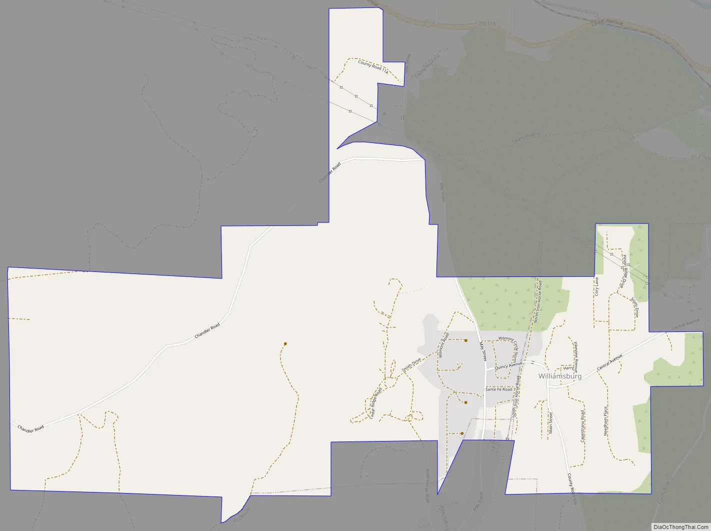
Williamsburg Road Map
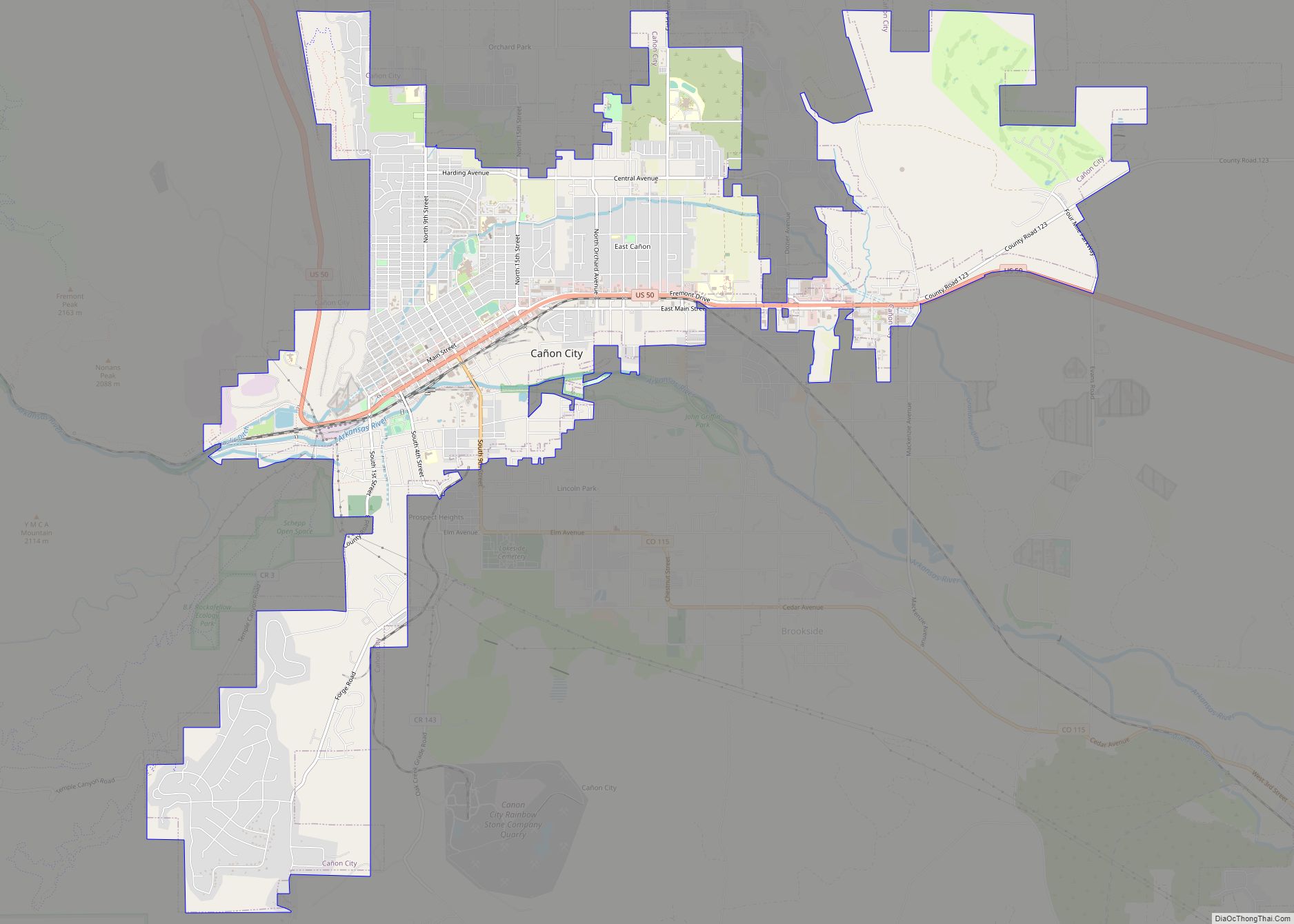
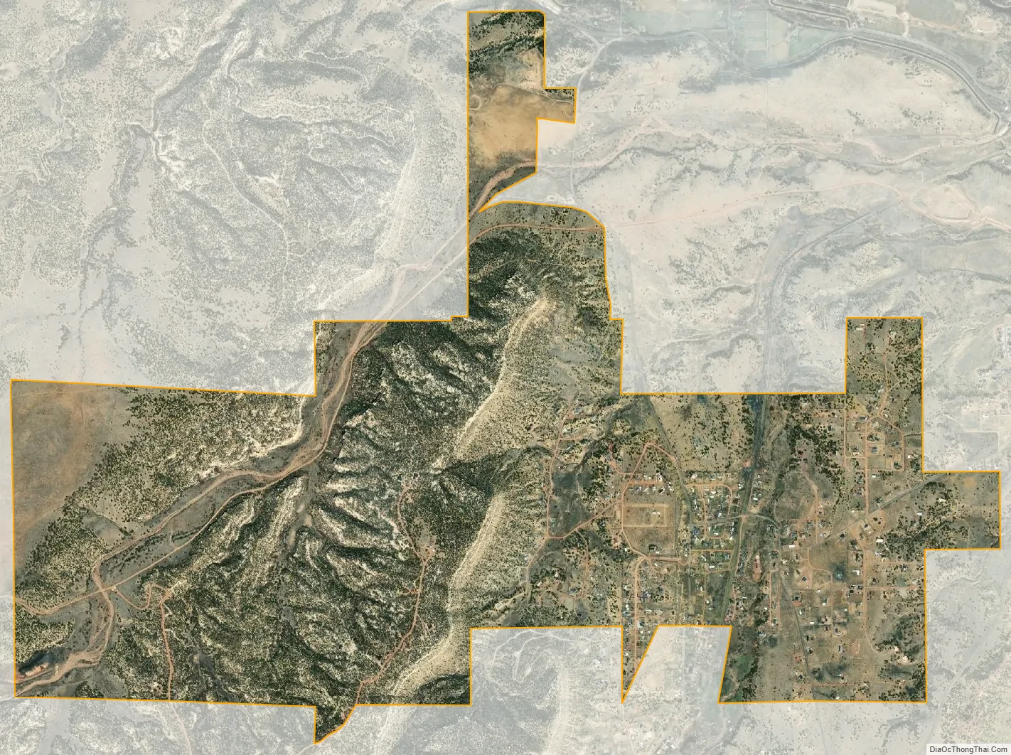
Williamsburg city Satellite Map
Geography
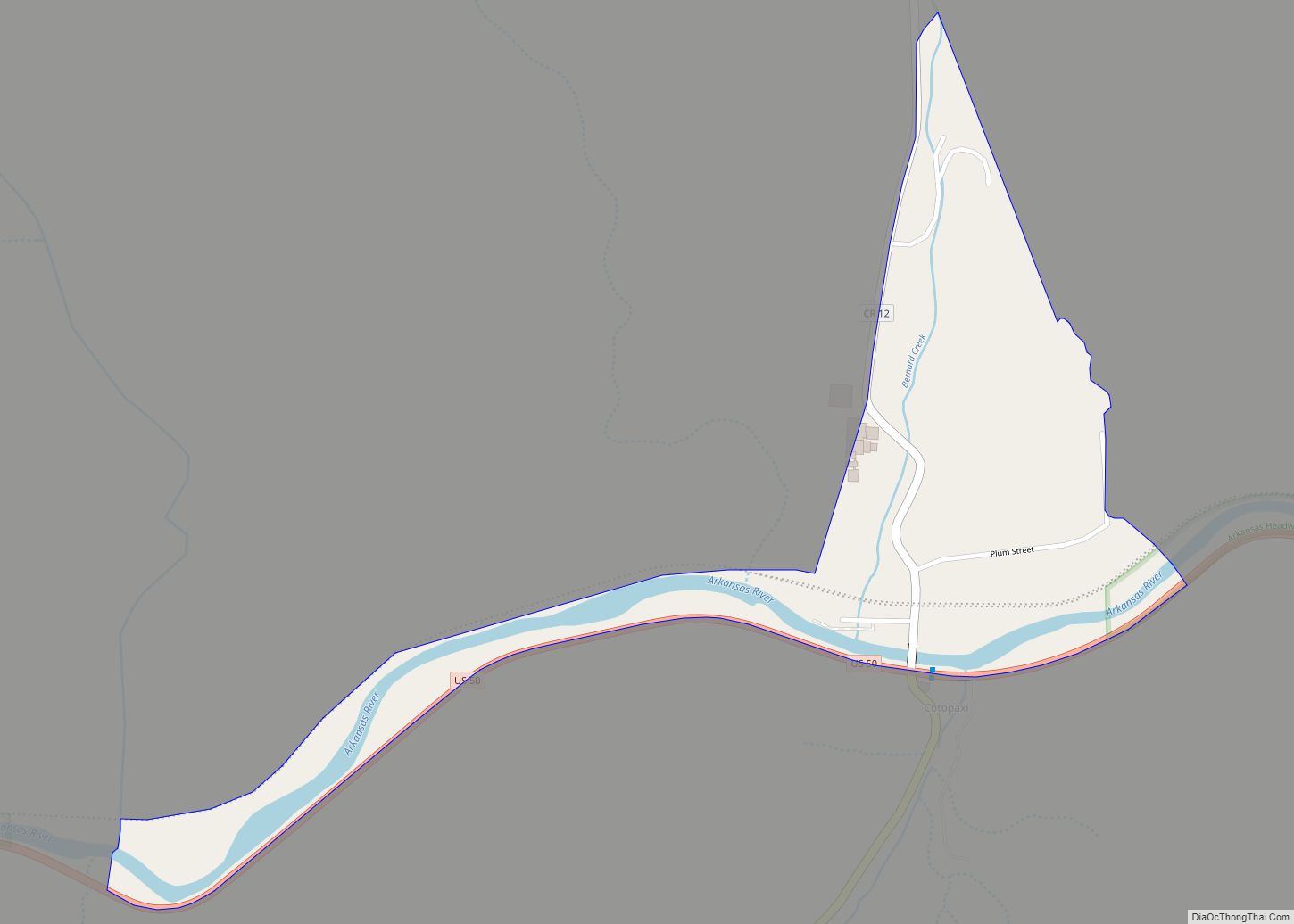
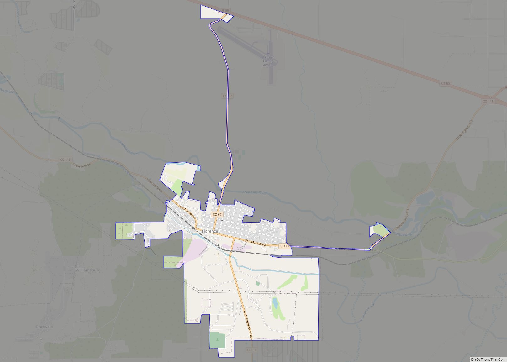
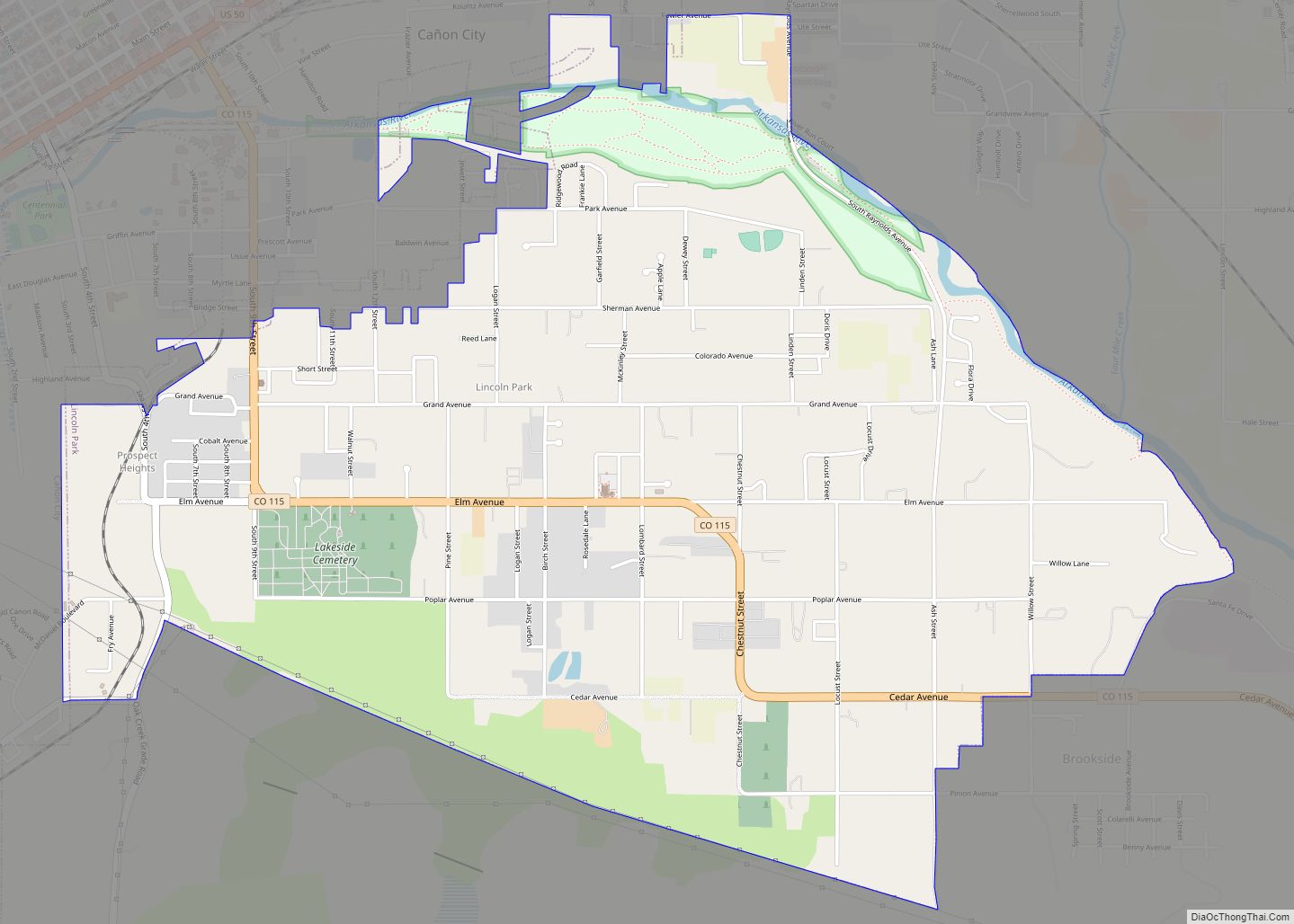
Williamsburg is located in southeastern Fremont County at 38°23′1″N 105°9′37″W / 38.38361°N 105.16028°W / 38.38361; -105.16028 (38.383623, -105.160337). It is bordered to the east by the city of Florence and to the south by the town of Rockvale. Cañon City, the county seat, is 8 miles (13 km) to the northwest.
According to the United States Census Bureau, Williamsburg has a total area of 3.6 square miles (9.2 km), all of it land.
See also
Map of Colorado State and its subdivision:- Adams
- Alamosa
- Arapahoe
- Archuleta
- Baca
- Bent
- Boulder
- Broomfield
- Chaffee
- Cheyenne
- Clear Creek
- Conejos
- Costilla
- Crowley
- Custer
- Delta
- Denver
- Dolores
- Douglas
- Eagle
- El Paso
- Elbert
- Fremont
- Garfield
- Gilpin
- Grand
- Gunnison
- Hinsdale
- Huerfano
- Jackson
- Jefferson
- Kiowa
- Kit Carson
- La Plata
- Lake
- Larimer
- Las Animas
- Lincoln
- Logan
- Mesa
- Mineral
- Moffat
- Montezuma
- Montrose
- Morgan
- Otero
- Ouray
- Park
- Phillips
- Pitkin
- Prowers
- Pueblo
- Rio Blanco
- Rio Grande
- Routt
- Saguache
- San Juan
- San Miguel
- Sedgwick
- Summit
- Teller
- Washington
- Weld
- Yuma
- Alabama
- Alaska
- Arizona
- Arkansas
- California
- Colorado
- Connecticut
- Delaware
- District of Columbia
- Florida
- Georgia
- Hawaii
- Idaho
- Illinois
- Indiana
- Iowa
- Kansas
- Kentucky
- Louisiana
- Maine
- Maryland
- Massachusetts
- Michigan
- Minnesota
- Mississippi
- Missouri
- Montana
- Nebraska
- Nevada
- New Hampshire
- New Jersey
- New Mexico
- New York
- North Carolina
- North Dakota
- Ohio
- Oklahoma
- Oregon
- Pennsylvania
- Rhode Island
- South Carolina
- South Dakota
- Tennessee
- Texas
- Utah
- Vermont
- Virginia
- Washington
- West Virginia
- Wisconsin
- Wyoming