Map of Alice city

Map of Alice city, North Dakota

Alice is a city in Cass County, North Dakota, United States. The population was 41 at the 2020 census. Alice city overview: Name: Alice city LSAD Code: 25 LSAD Description: city (suffix) State: North Dakota County: Cass County Elevation: 1,132 ft (345 m) Total Area: 0.97 sq mi (2.52 km²) Land Area: 0.97 sq mi (2.52 km²) Water Area: 0.00 sq mi (0.00 km²) Total Population: … Read more

Map of Alexander city, North Dakota

Map of Alexander city, North Dakota

Alexander is a city in McKenzie County, North Dakota, United States. The population was 319 at the 2020 census. Alexander was founded in 1905 and is named after early North Dakota politician Alexander McKenzie. Alexander city overview: Name: Alexander city LSAD Code: 25 LSAD Description: city (suffix) State: North Dakota County: McKenzie County Founded: 1905 … Read more

Map of Alamo city, North Dakota

Map of Alamo city, North Dakota

Alamo is a city in Williams County, North Dakota, United States. The population was 57 at the 2010 census. Alamo was founded in 1916. Alamo city overview: Name: Alamo city LSAD Code: 25 LSAD Description: city (suffix) State: North Dakota County: Williams County Founded: 1916 Elevation: 2,123 ft (647 m) Total Area: 0.57 sq mi (1.48 km²) Land Area: 0.55 sq mi … Read more

Map of Adams city, North Dakota

Map of Adams city, North Dakota

Adams is a city in Walsh County, North Dakota, United States. The population was 127 at the 2020 census. Adams was founded in 1905. Adams is twinned with Bulwick, Northamptonshire. Adams city overview: Name: Adams city LSAD Code: 25 LSAD Description: city (suffix) State: North Dakota County: Walsh County Founded: 1905 Elevation: 1,572 ft (479 m) Total … Read more

Map of Aneta city

Map of Aneta city

Aneta is a city in Nelson County, North Dakota, United States. The population was 234 at the 2020 census. Aneta was first settled in 1882 and incorporated as a city in 1893. Aneta city overview: Name: Aneta city LSAD Code: 25 LSAD Description: city (suffix) State: North Dakota County: Nelson County Founded: 1882 Incorporated: 1893 … Read more

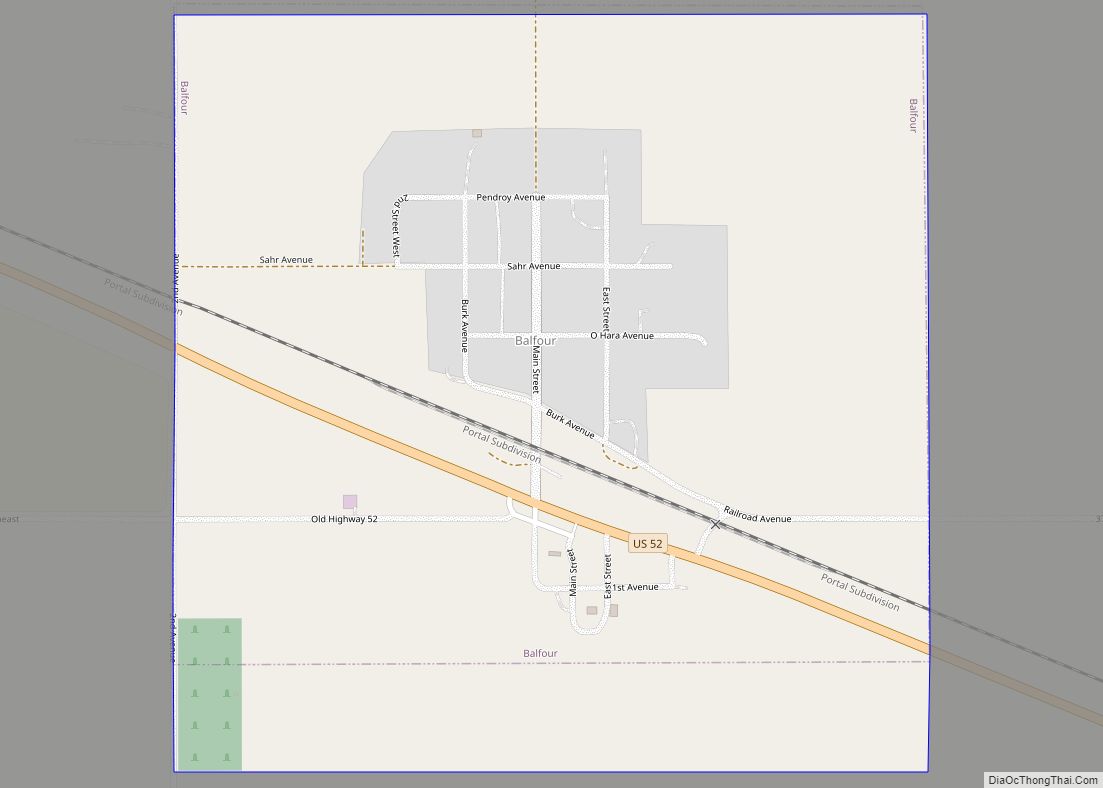
Map of Balfour city, North Dakota

Map of Balfour city, North Dakota

Balfour is a city in McHenry County, North Dakota, United States. The population was 20 at the 2020 census. It is part of the Minot Micropolitan Statistical Area. Balfour city overview: Name: Balfour city LSAD Code: 25 LSAD Description: city (suffix) State: North Dakota County: McHenry County Founded: 1899 Elevation: 1,614 ft (492 m) Total Area: 0.56 sq mi … Read more

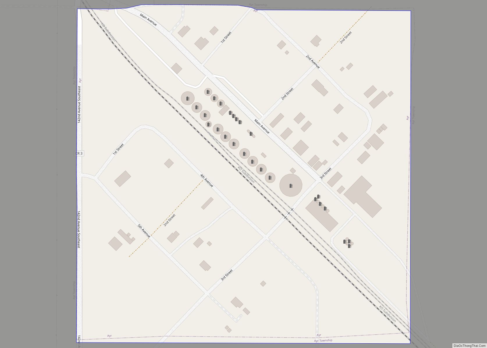
Map of Ayr city

Map of Ayr city, North Dakota

Ayr is a city in Cass County, North Dakota, United States. The population was 11 at the 2020 census. Ayr was founded in 1883. Ayr city overview: Name: Ayr city LSAD Code: 25 LSAD Description: city (suffix) State: North Dakota County: Cass County Elevation: 1,204 ft (367 m) Total Area: 0.09 sq mi (0.22 km²) Land Area: 0.09 sq mi (0.22 km²) Water … Read more

Map of Auburn CDP, North Dakota

Map of Auburn CDP, North Dakota

Auburn is a census-designated place and unincorporated community in Walsh County, North Dakota, United States. Its population was 48 as of the 2010 census. Auburn CDP overview: Name: Auburn CDP LSAD Code: 57 LSAD Description: CDP (suffix) State: North Dakota County: Walsh County Elevation: 846 ft (258 m) Total Area: 1.00 sq mi (2.60 km²) Land Area: 1.00 sq mi (2.60 km²) Water … Read more

Map of Ashley city, North Dakota

Map of Ashley city, North Dakota

Ashley is a city in and the county seat of McIntosh County, North Dakota, United States. The population was 613 at the 2020 census. Ashley city overview: Name: Ashley city LSAD Code: 25 LSAD Description: city (suffix) State: North Dakota County: McIntosh County Founded: 1888 Elevation: 2,014 ft (614 m) Total Area: 0.64 sq mi (1.67 km²) Land Area: 0.64 sq mi … Read more

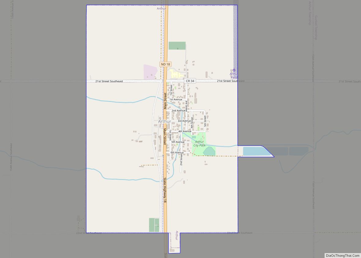
Map of Arthur city, North Dakota

Map of Arthur city, North Dakota

Arthur is a city in Cass County, North Dakota, United States. The population was 328 at the 2020 census. Arthur city overview: Name: Arthur city LSAD Code: 25 LSAD Description: city (suffix) State: North Dakota County: Cass County Elevation: 991 ft (302 m) Total Area: 1.53 sq mi (3.96 km²) Land Area: 1.53 sq mi (3.96 km²) Water Area: 0.00 sq mi (0.00 km²) Total Population: … Read more

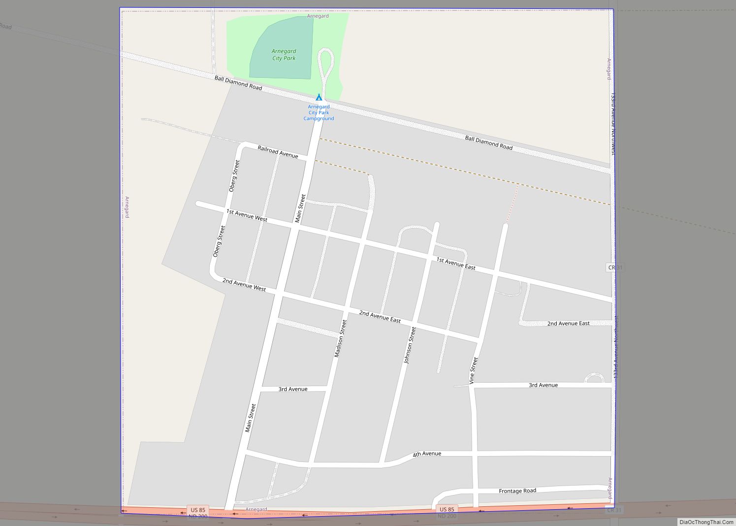
Map of Arnegard city

Map of Arnegard city

Arnegard is a city in McKenzie County, North Dakota, United States. The population was 282 at the 2020 census. Arnegard was founded in 1913. Arnegard city overview: Name: Arnegard city LSAD Code: 25 LSAD Description: city (suffix) State: North Dakota County: McKenzie County Founded: 1913 Elevation: 2,254 ft (687 m) Total Area: 0.34 sq mi (0.88 km²) Land Area: 0.34 sq mi … Read more

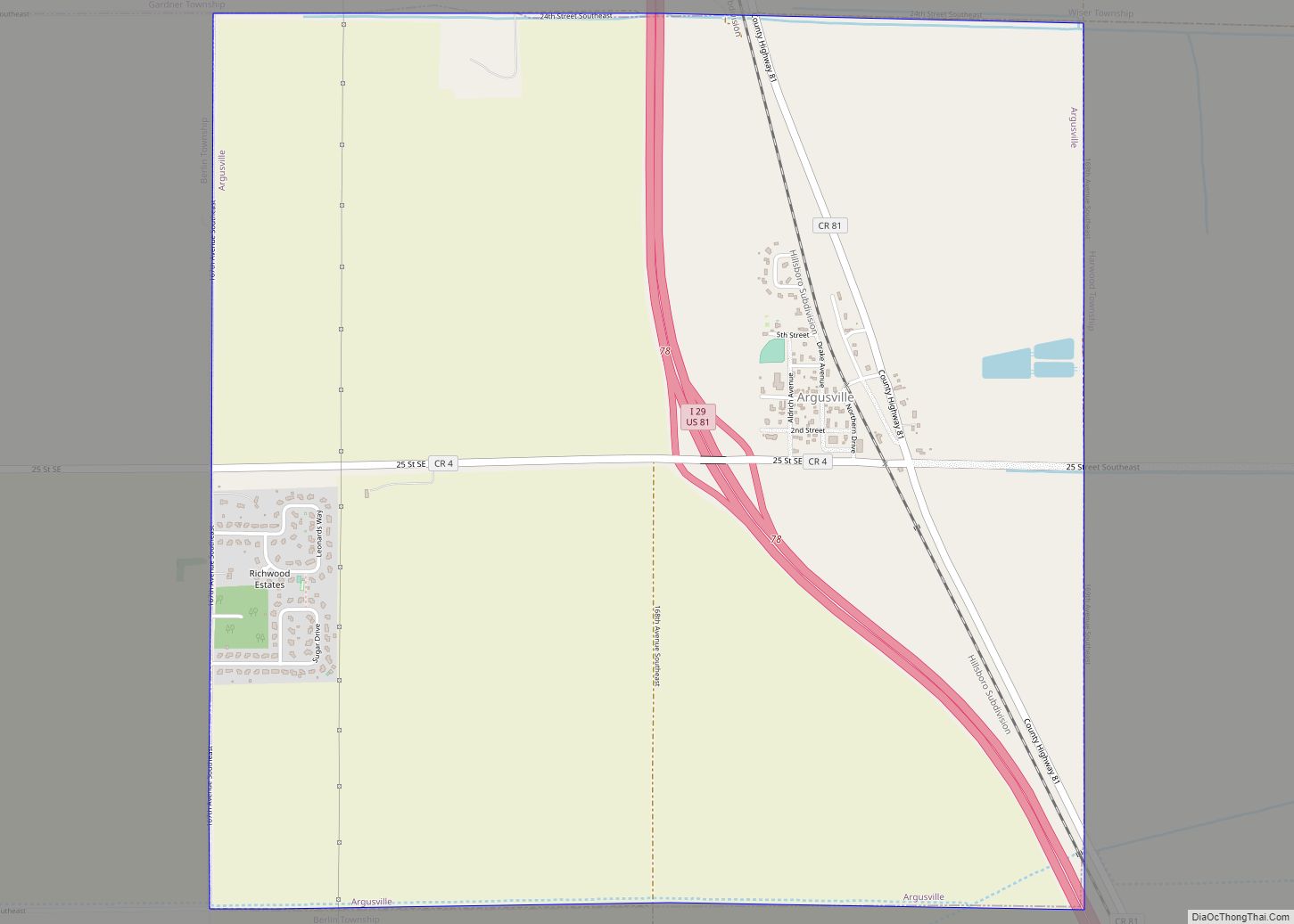
Map of Argusville city

Map of Argusville city

Argusville is a city in Cass County, North Dakota, United States. The population was 480 at the 2020 census. Increasing from 147 a decade earlier due to a huge housing boom from 2004 to 2008. Argusville was founded in 1881. Argusville city overview: Name: Argusville city LSAD Code: 25 LSAD Description: city (suffix) State: North … Read more