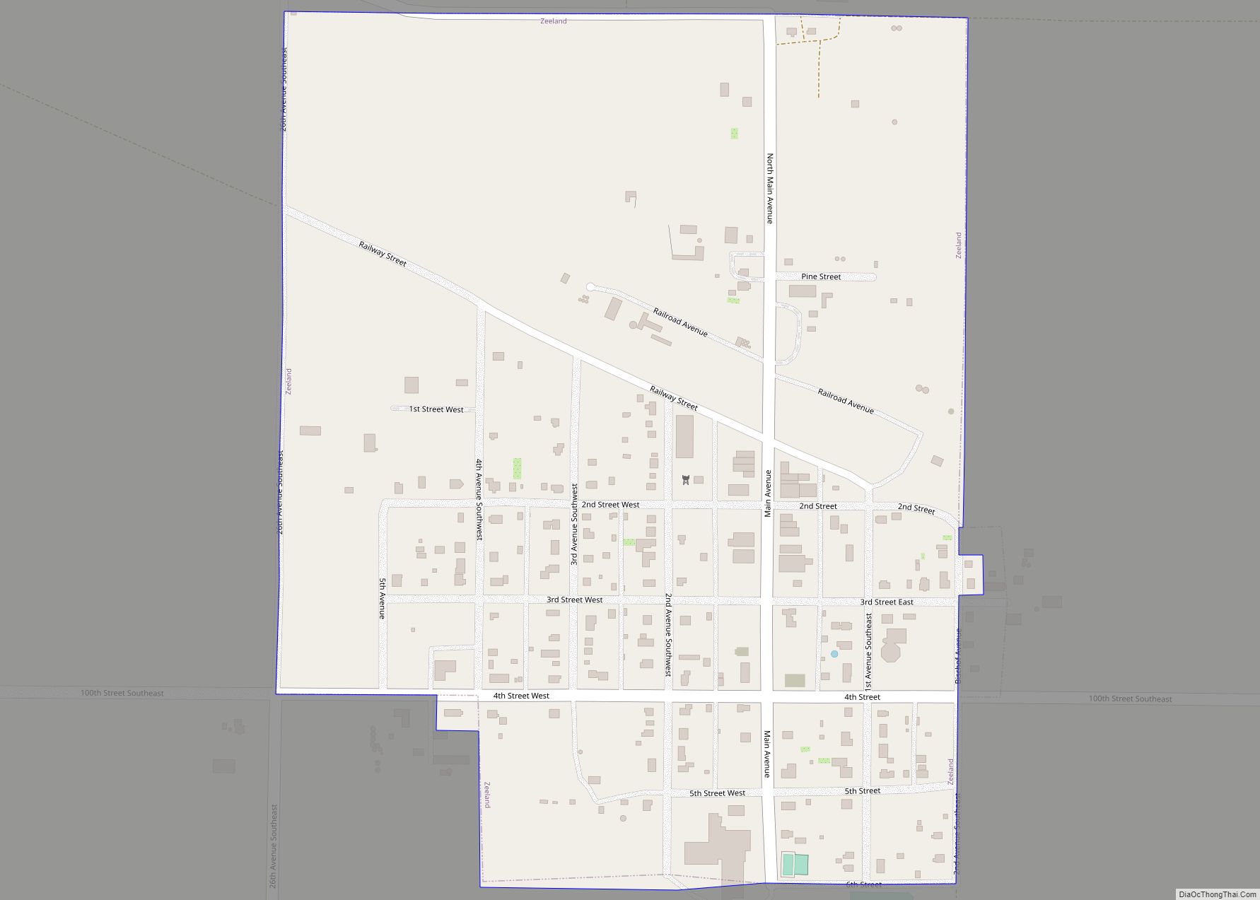
Zeeland is a city in McIntosh County, North Dakota, United States. The population was 82 at the 2020 census. Zeeland was founded in 1902 by Dutch settlers. Its name is taken from the Dutch province of Zeeland. Germans from Russia emigrated there in 1905 from Odessa (Odesa), Ukraine, building the first Catholic Church in North ... Read more
North Dakota Cities and Places
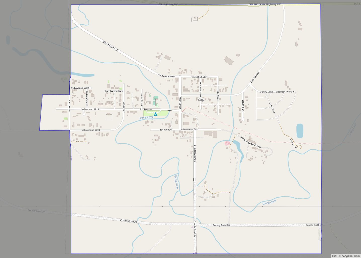
Zap is a city in Mercer County, North Dakota, United States. The population was 221 at the 2020 census. Zap was founded in 1913 along a branch line of the Northern Pacific Railway that began in Mandan. The exact origin of the name is uncertain, though there are numerous unconfirmed theories; some say the town ... Read more
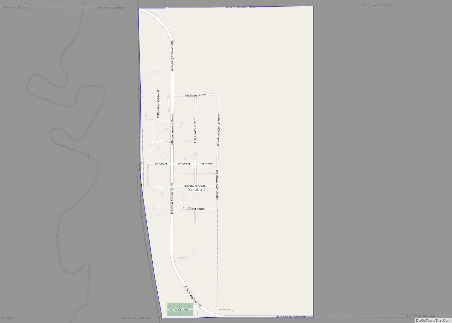
Ypsilanti is a census-designated place and unincorporated community in Stutsman County, North Dakota, United States, and the primary populated place in Ypsilanti Township. A portion of the townsite is located in Corwin Township. Its population was 109 as of the 2020 census. Ypsilanti CDP overview: Name: Ypsilanti CDP LSAD Code: 57 LSAD Description: CDP (suffix) ... Read more
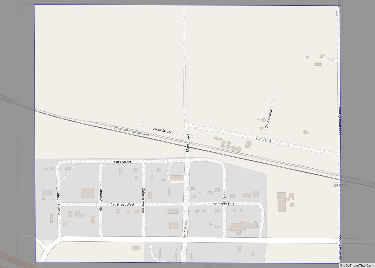
York is a small rural village in Benson County, North Dakota, United States. The population was 17 at the 2020 census. There is a gasoline station there, and a granary, and farm equipment repair services. York was founded in 1886 and named after York, England by Great Northern Railway President James J. Hill. It was ... Read more
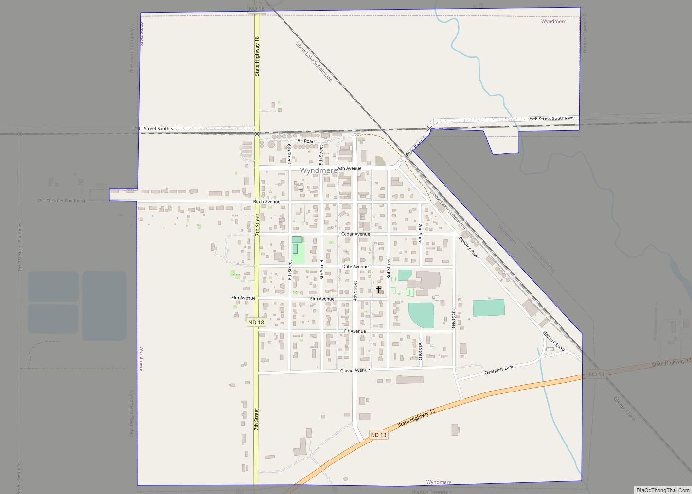
Wyndmere (/ˈwaɪnmɪər/ WYN-meer) is a city in Richland County, North Dakota, United States. The population was 454 at the 2020 census. Wyndmere was founded in 1883 and named after Windermere in England. It is part of the Wahpeton, ND–MN Micropolitan Statistical Area. Wyndmere city overview: Name: Wyndmere city LSAD Code: 25 LSAD Description: city (suffix) ... Read more
