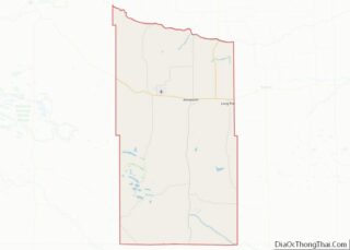
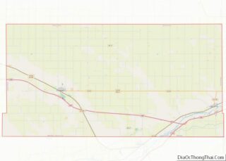
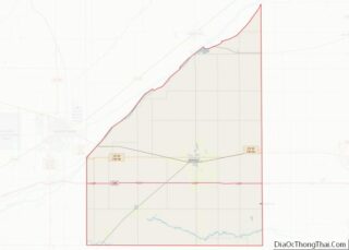
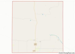
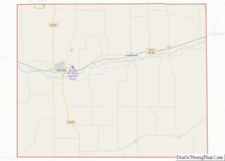
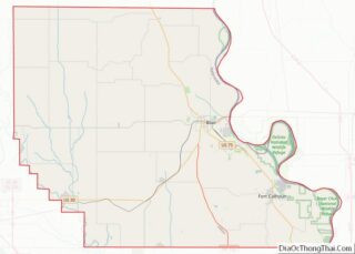
Map of Mecosta County

Map of Mecosta County, Michigan

Mecosta County (/məˈkɒstə/ mə-KOSS-tə) is a county located in the U.S. state of Michigan. As of the 2020 Census, the population was 39,714. The county seat is Big Rapids. The county is named after Chief Mecosta, the leader of the Potawatomi Native American tribe who once traveled the local waterways in search of fish and … Read more

Map of Ottawa County

Map of Ottawa County, Michigan

Ottawa County (/ˈɒtəwə/ OT-ə-wə) is a county located in the U.S. state of Michigan. As of the United States 2020 Census, the population was 296,200. The county seat is Grand Haven. The county is named for the Ottawa Nation, was set off in 1831 and organized in 1837. Ottawa County is included in the Grand … Read more

Map of Becker County

Map of Becker County, Minnesota

Becker County is a county in the U.S. state of Minnesota. As of the 2020 census, the population was 35,183. Its county seat is Detroit Lakes. Part of the White Earth Indian Reservation extends into the county. The county was created in 1858 and organized in 1871. Becker County overview: Name: Becker County FIPS code: … Read more

Map of Dakota County

Map of Dakota County, Minnesota

Dakota County is the third-most populous county in the U.S. state of Minnesota, located in the east central portion of the state. As of the 2020 census, the population was 439,882. The population of Dakota County was estimated to be 442,038 in 2021. The county seat is Hastings. Dakota County is named for the Dakota … Read more

Map of Kittson County

Map of Kittson County, Minnesota

Kittson County is a county in the northwestern corner of the U.S. state of Minnesota along the Canada–US border, south of the Canadian province of Manitoba. As of the 2020 census, the population was 4,207. Its county seat is Hallock. Kittson County overview: Name: Kittson County FIPS code: 27-069 State: Minnesota Founded: 1879 Named for: … Read more

Map of Mower County

Map of Mower County, Minnesota

Mower County (/ˈmaʊ.ər/) is a county in the U.S. state of Minnesota. As of the 2020 census, the population was 40,029. The county seat is Austin. Mower County comprises the Austin Micropolitan Statistical Area and is included in the Rochester-Austin Combined Statistical Area. Lake Louise State Park is in southeastern Mower County, near Le Roy. … Read more

Map of Rice County

Map of Rice County, Minnesota

Rice County overview: Name: Rice County FIPS code: 27-131 State: Minnesota Founded: March 5, 1853 Named for: Henry Mower Rice Seat: Faribault Largest city: Faribault Total Area: 516 sq mi (1,340 km²) Land Area: 496 sq mi (1,280 km²) Total Population: 67,097 Population Density: 135.3/sq mi (52.2/km²) Time zone: UTC−6 (Central) Summer Time Zone (DST): UTC−5 (CDT) Website: www.co.rice.mn.us Rice County location … Read more

Map of Washington County

Map of Washington County, Minnesota

Washington County is a county in the U.S. state of Minnesota. As of the 2020 census, the population was 267,568, making it the fifth-most populous county in Minnesota. Its county seat is Stillwater. The largest city in the county is Woodbury, the eighth-largest city in Minnesota and the fourth-largest Twin Cities suburb. Washington County is … Read more

Map of Claiborne County

Map of Claiborne County, Mississippi

Claiborne County is a county located in the U.S. state of Mississippi. As of the 2020 census, the population was 9,135. Its county seat is Port Gibson. The county is named after William Claiborne, the second governor of the Mississippi Territory. Claiborne County is included in the Vicksburg, MS Micropolitan Statistical Area as well as … Read more

Map of Humphreys County

Map of Humphreys County, Mississippi

Humphreys County is a county located in the U.S. state of Mississippi. As of the 2020 census, the population was 7,785. Its county seat is Belzoni. The county is named for Benjamin G. Humphreys. Humphreys County is Mississippi’s newest county, having been formed in 1918. Humphreys County is located in the Mississippi Delta region. It … Read more

Map of Lincoln County

Map of Lincoln County, Mississippi

Lincoln County is a county located in the U.S. state of Mississippi. As of the 2020 census, the population was 34,907. Its county seat is Brookhaven. The county was created by the legislature on April 7, 1870, during the Reconstruction Era. It was formed from portions of Lawrence, Pike, Franklin, Copiah, and Amite counties. It … Read more

Map of Prentiss County

Map of Prentiss County, Mississippi

Prentiss County is a county located in the U.S. state of Mississippi. As of the 2020 census, the population was 25,008. Its county seat is Booneville. The county is named for Seargent Smith Prentiss, a noted speaker and US Congressman from Natchez. (Seargent was his first name, not a military title.) Prentiss County overview: Name: … Read more