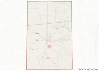
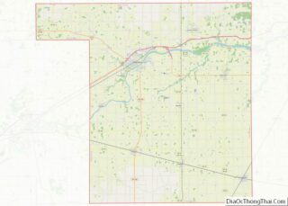
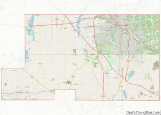
Map of Seneca County, New York
Seneca County is located in the U.S. state of New York. As of the 2020 census, the population was 33,814. The primary county seat is Waterloo, moved there from the original county seat of Ovid in 1819. It became a two-shire county in 1822, which currently remains in effect and uses both locations as county ... Read more
Map of Seneca County, New York
Map of Anson County, North Carolina
Anson County is a county located in the U.S. state of North Carolina. As of the 2020 census, the population was 22,055. Its county seat is Wadesboro. Anson County overview: Name: Anson County FIPS code: 37-007 State: North Carolina Founded: 1750 Named for: George Anson, Baron Anson Seat: Wadesboro Largest town: Wadesboro Total Area: 537 sq mi ... Read more
Map of Anson County, North Carolina
Map of Cherokee County, North Carolina
Cherokee County is the westernmost county in the U.S. state of North Carolina. It borders Tennessee to its west and Georgia to its south. As of the 2020 census, the population was 28,774. The county seat is Murphy, elevation 1604 ft. Cherokee County overview: Name: Cherokee County FIPS code: 37-039 State: North Carolina Founded: 1839 ... Read more
Map of Cherokee County, North Carolina
Map of Gaston County, North Carolina
Gaston County is a county in the U.S. state of North Carolina. As of the 2020 census, the population was 227,943. The county seat is Gastonia. Dallas served as the original county seat from 1846 until 1911. Gaston County is included in the Charlotte-Concord-Gastonia, NC-SC Metropolitan Statistical Area. It is the fourth largest county in ... Read more
Map of Gaston County, North Carolina