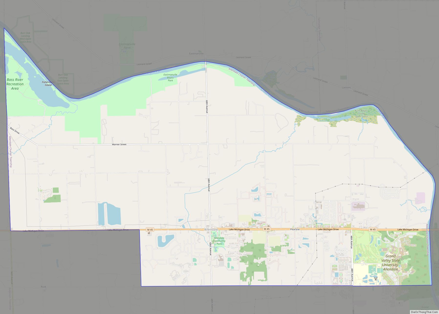
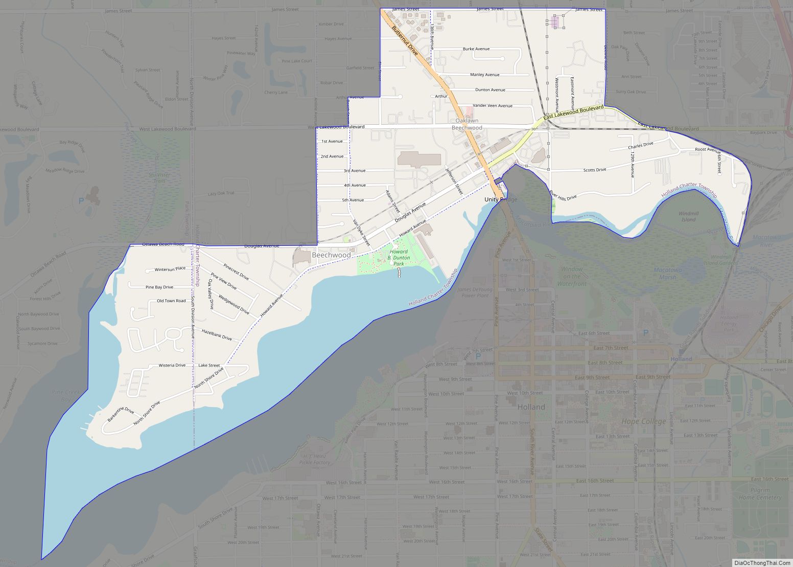
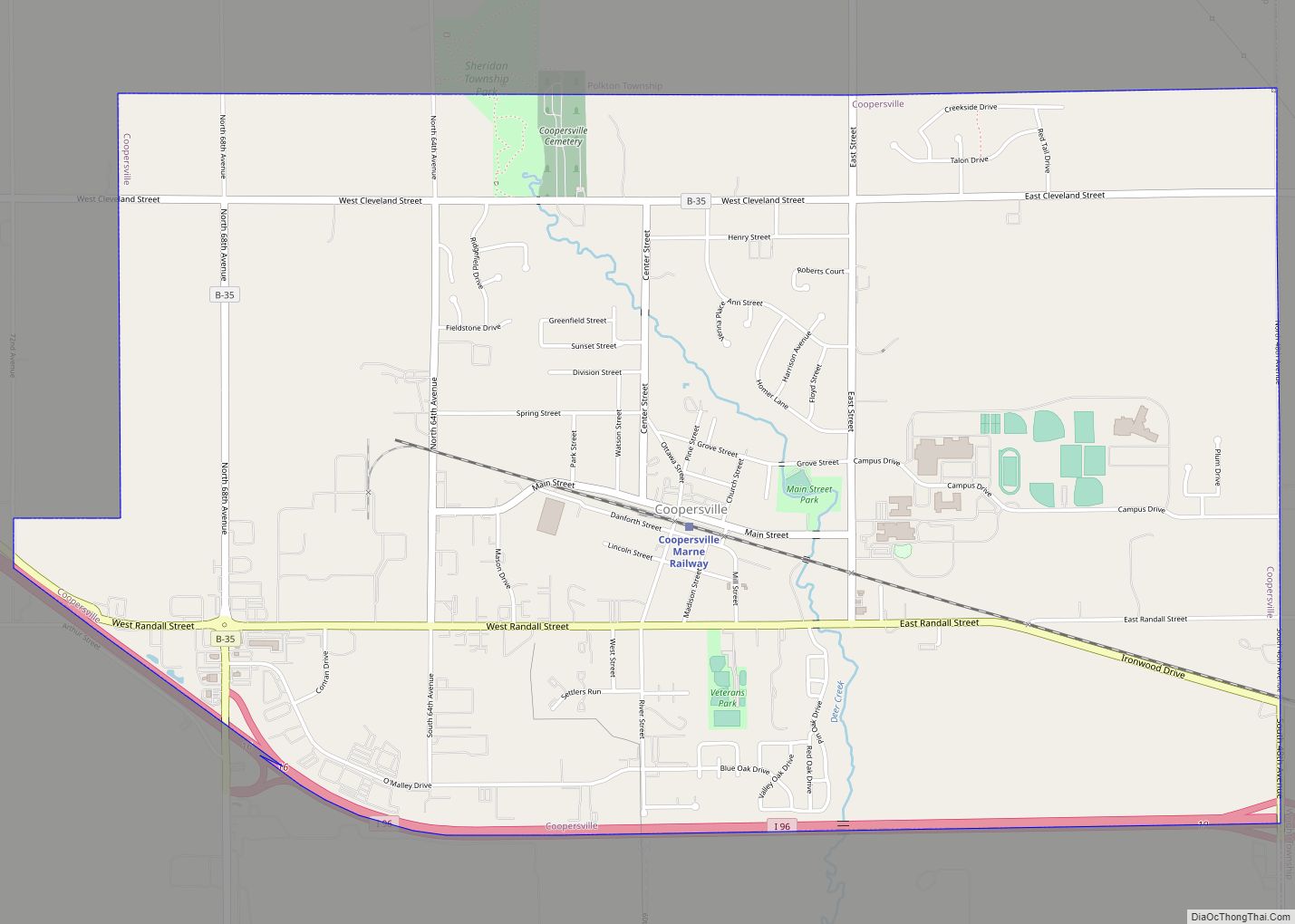
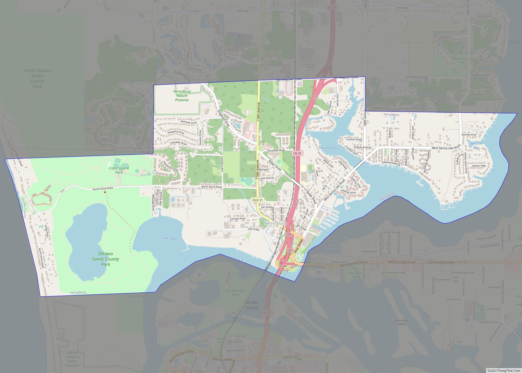
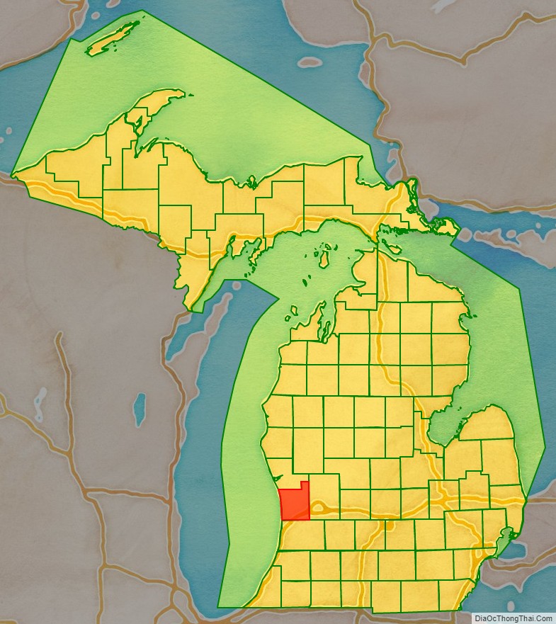
Ottawa County (/ˈɒtəwə/ OT-ə-wə) is a county located in the U.S. state of Michigan. As of the United States 2020 Census, the population was 296,200. The county seat is Grand Haven. The county is named for the Ottawa Nation, was set off in 1831 and organized in 1837. Ottawa County is included in the Grand Rapids–Kentwood, MI Metropolitan Statistical Area and has a significant Dutch American population. Since the late 19th century, the county has strongly supportive of the Republican Party. As of 2023, the county’s board of commissioners has been described as far-right by national and Michigan-based media organizations, with former official of President Donald Trump, John Gibbs, chosen by the board to serve as the county administrator.
| Name: | Ottawa County |
|---|---|
| FIPS code: | 26-139 |
| State: | Michigan |
| Founded: | 1831 |
| Named for: | Ottawa Nation |
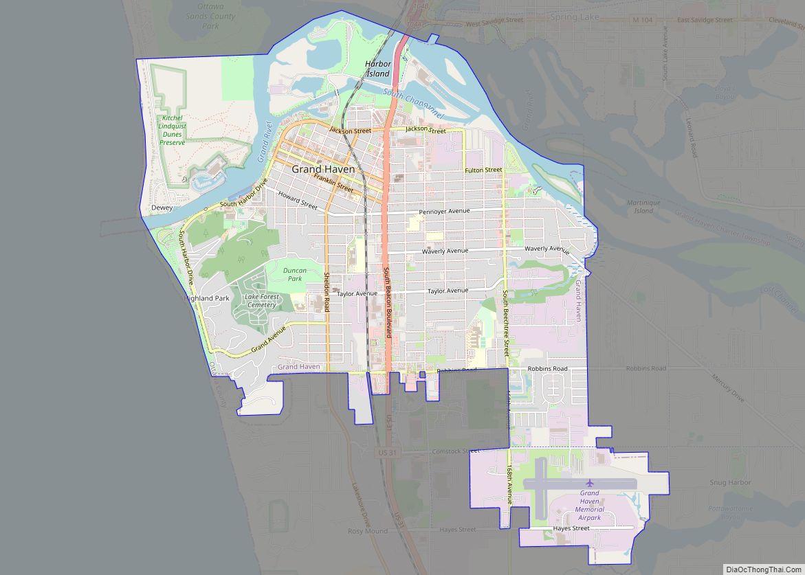
| Seat: | Grand Haven |
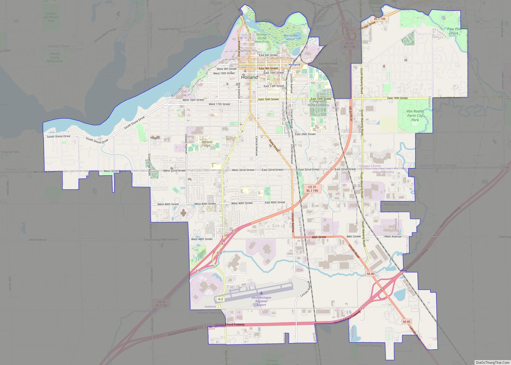
| Largest city: | Holland |
| Total Area: | 1,631 sq mi (4,220 km²) |
| Land Area: | 563 sq mi (1,460 km²) |
| Total Population: | 296,200 |
| Population Density: | 526/sq mi (203/km²) |
| Time zone: | UTC−5 (Eastern) |
| Summer Time Zone (DST): | UTC−4 (EDT) |
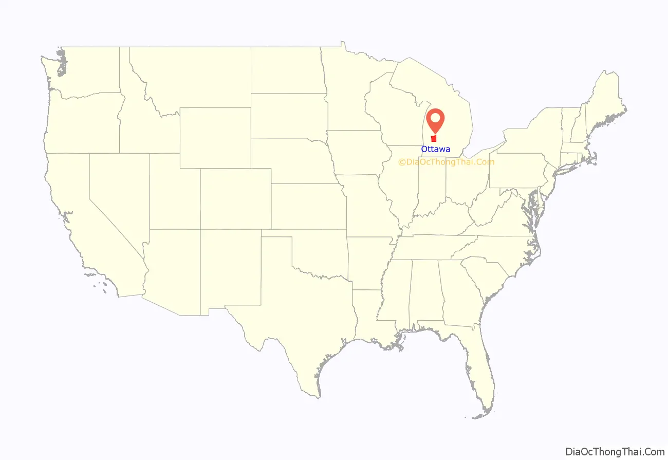
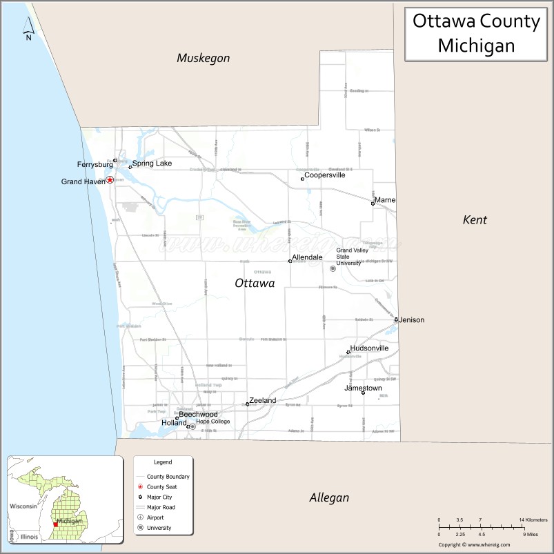
Ottawa County location map. Where is Ottawa County?
History
Before European settlers arrived, this area was home to the Potawatomi and Ottawa people for centuries. The Grand River was used as a trade route into the interior of Michigan. Much of what we know about the Native American presence in Ottawa County comes from the excavation of archeological artifacts at places like the Battle Point Site.
The city dates its European-American founding to French colonial settlers. A fur trading outpost called Gabagouache was first established by Madeline La Framboise and her husband Joseph.
The first permanent settler of the County was a Presbyterian minister, William Montague Ferry, who settled in Grand Haven in 1834. Grand Haven quickly grew and became an important port for trade and travel. Ferry is often referred to as the “father” of Ottawa County.
Dutch settlers started arriving in the area in 1847, led by Albertus van Raalte. These Dutch Settlers moved into the Holland area. This area was already inhabited by many Odawa (Ottawa) people as well as the Old Wing Mission. Within just a few years, the new Dutch settlers had forced out the Ottawa people and the Old Wing Mission.
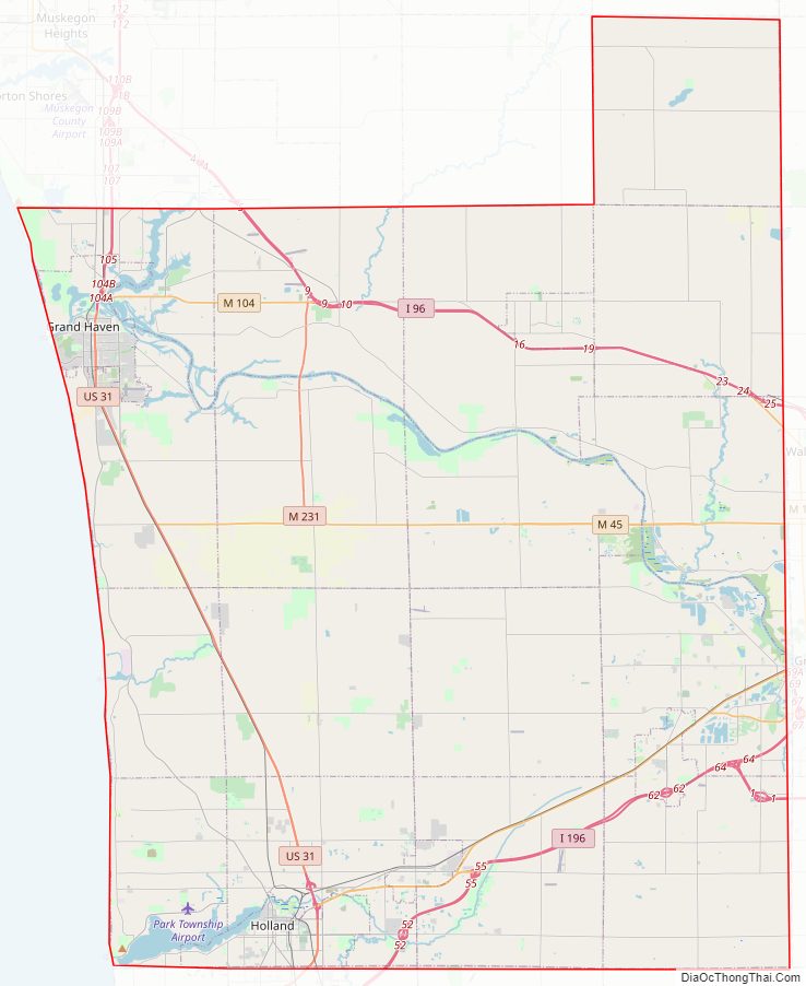
Ottawa County Road Map
Geography
According to the US Census Bureau, the county has a total area of 1,631 square miles (4,220 km), of which 563 square miles (1,460 km) is land and 1,068 square miles (2,770 km) (65%) is water.
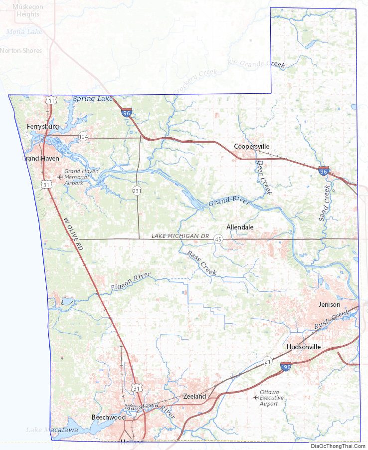
Bodies of water
- Bass River
- Black Lake (partially)
- Grand River
- Lake Macatawa
- Lake Michigan
- Macatawa River
- Pigeon River
- Spring Lake
Adjacent counties
By land
- Allegan County – south
- Kent County – east
- Muskegon County – north
By water
- Milwaukee County, Wisconsin – northwest
- Racine County, Wisconsin – southwest
Major highways
- A-37
- B-31
- B-35
- B-72
- BL I-196
- I-196
- I-96
- M-104
- M-11
- M-121
- M-231
- M-45
- M-6
- US 31
Demographics
As of the 2010 United States Census, there were 263,801 people living in the county. 90.1% were White, 2.6% Asian, 1.5% Black or African American, 0.4% Native American, 3.4% of some other race and 2.0% of two or more races. 8.6% were Hispanic or Latino (of any race). 31.0% were of Dutch, 14.2% German, 5.8% English and 5.7% Irish ancestry.
As of the 2000 United States Census, there were 238,314 people, 81,662 households, and 61,328 families in the county. The population density was 421 inhabitants per square mile (163/km). There were 86,856 housing units at an average density of 154 per square mile (59/km). The racial makeup of the county was 91.52% White, 1.05% Black or African American, 0.36% Native American, 2.09% Asian, 0.02% Pacific Islander, 3.48% from other races, and 1.48% from two or more races. 7.00% of the population were Hispanic or Latino of any race. 37.3% reported being of Dutch, 14.6% German, 6.2% English, 5.6% Irish and 5.4% American ancestry, 91.5% spoke only English at home; 5.4% spoke Spanish.
There were 81,662 households, out of which 39.30% had children under the age of 18 living with them, 64.60% were married couples living together, 7.50% had a female householder with no husband present, and 24.90% were non-families. 19.60% of all households were made up of individuals, and 7.40% had someone living alone who was 65 years of age or older. The average household size was 2.81 and the average family size was 3.25.
The county has numerous seasonal residents during the summer. Port Sheldon Township has many lakefront homes and other inland retreats that serve as summer getaways for residents of Grand Rapids, Detroit, and Chicago. No official statistics are compiled on seasonal residents.
The county population contains 28.70% under the age of 18, 11.90% from 18 to 24, 29.30% from 25 to 44, 20.00% from 45 to 64, and 10.10% who were 65 years of age or older. The median age was 32 years. For every 100 females, there were 97.00 males. For every 100 females age 18 and over, there were 94.20 males.
The Robert Wood Johnson Foundation ranks Ottawa County as Michigan’s second-healthiest county, preceded only by the leisure-oriented Traverse City area.
The median income for a household in the county was $52,347, and the median income for a family was $59,896. Males had a median income of $42,180 versus $27,706 for females. The per capita income for the county was $21,676. About 3.10% of families and 5.50% of the population were below the poverty line, including 4.70% of those under age 18 and 4.90% of those age 65 or over.
Religion
- The Catholic Church has 11 churches and 24,700 members.
- The Christian Reformed Church in North America has 67 churches and 33,700 members.
- The Church of Jesus Christ of Latter-day Saints has two meetinghouses in the county.
- The Protestant Reformed Churches have around 10 large congregations in the county.
- The Reformed Church in America has 47 congregations and 33,300 members.
Ottawa County Topographic Map
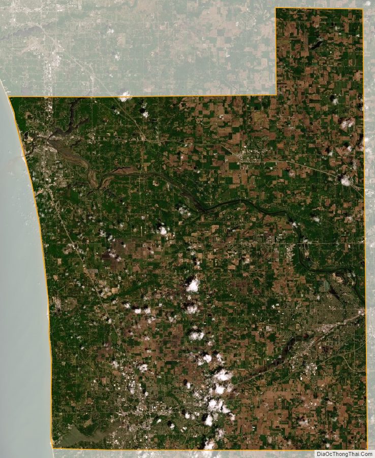
Ottawa County Satellite Map
Ottawa County Outline Map