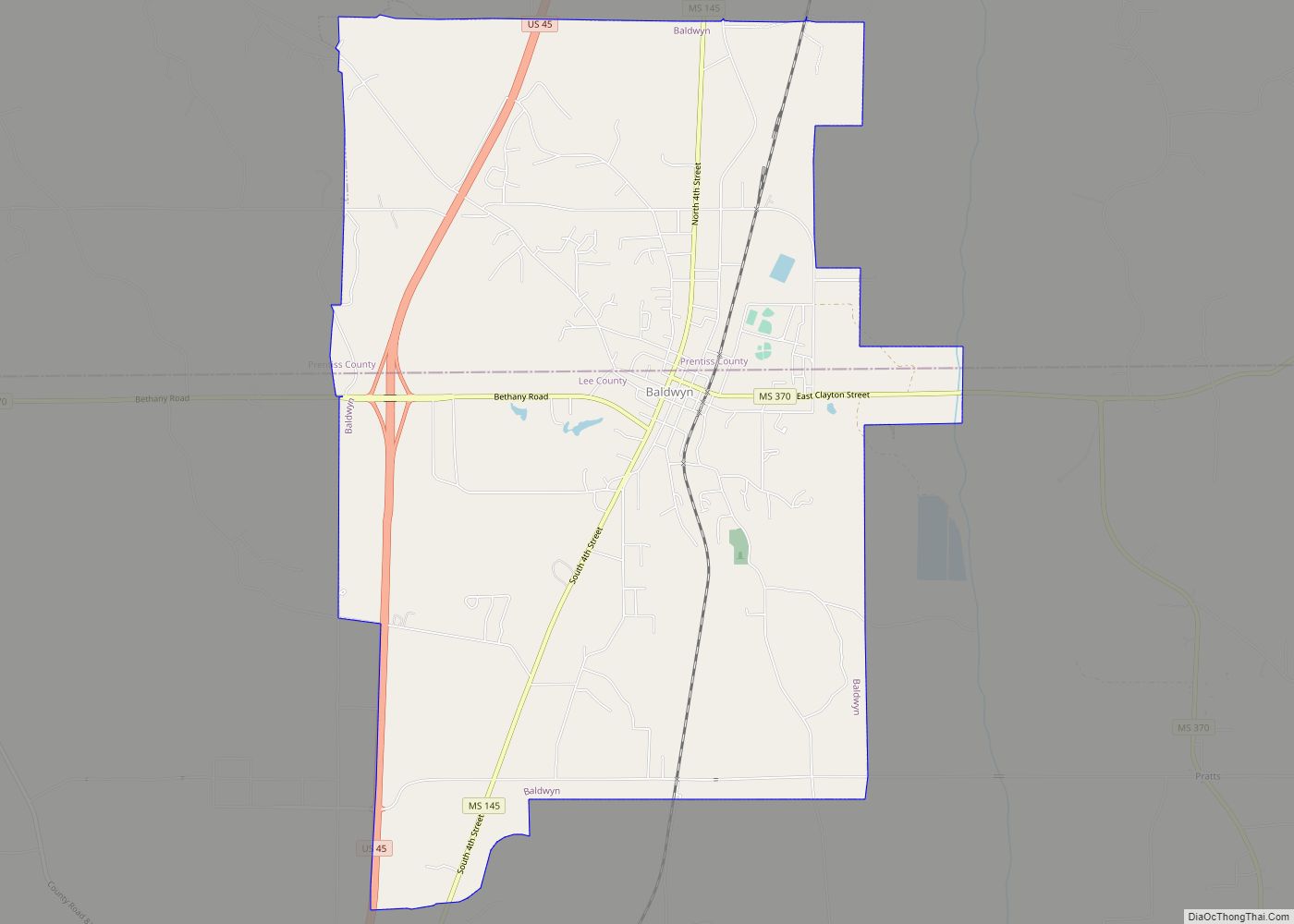
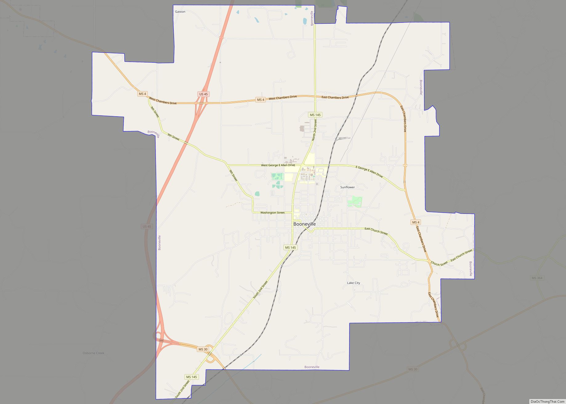
Prentiss County is a county located in the U.S. state of Mississippi. As of the 2020 census, the population was 25,008. Its county seat is Booneville. The county is named for Seargent Smith Prentiss, a noted speaker and US Congressman from Natchez. (Seargent was his first name, not a military title.)
| Name: | Prentiss County |
|---|---|
| FIPS code: | 28-117 |
| State: | Mississippi |
| Founded: | April 15, 1870 |
| Named for: | Seargent Smith Prentiss |
| Seat: | Booneville |
| Largest city: | Booneville |
| Total Area: | 418 sq mi (1,080 km²) |
| Land Area: | 415 sq mi (1,070 km²) |
| Total Population: | 25,008 |
| Population Density: | 60/sq mi (23/km²) |
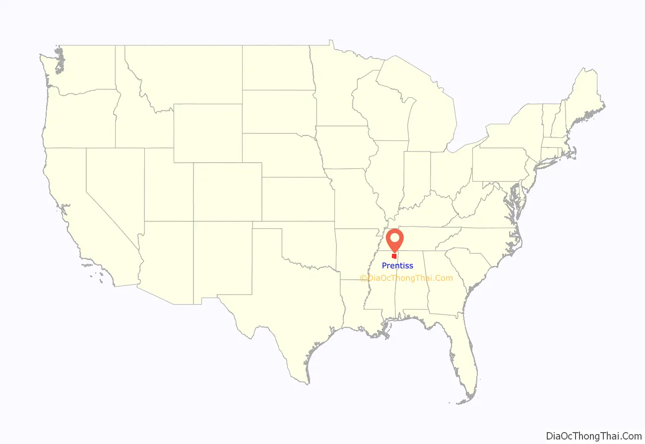
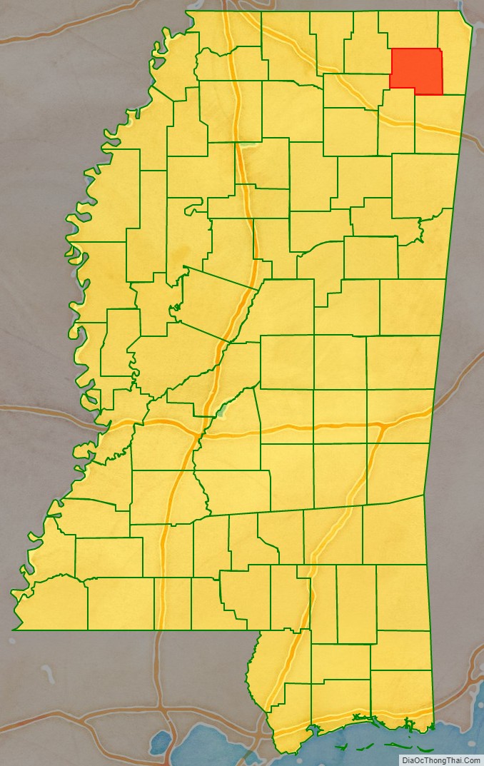
Prentiss County location map. Where is Prentiss County?
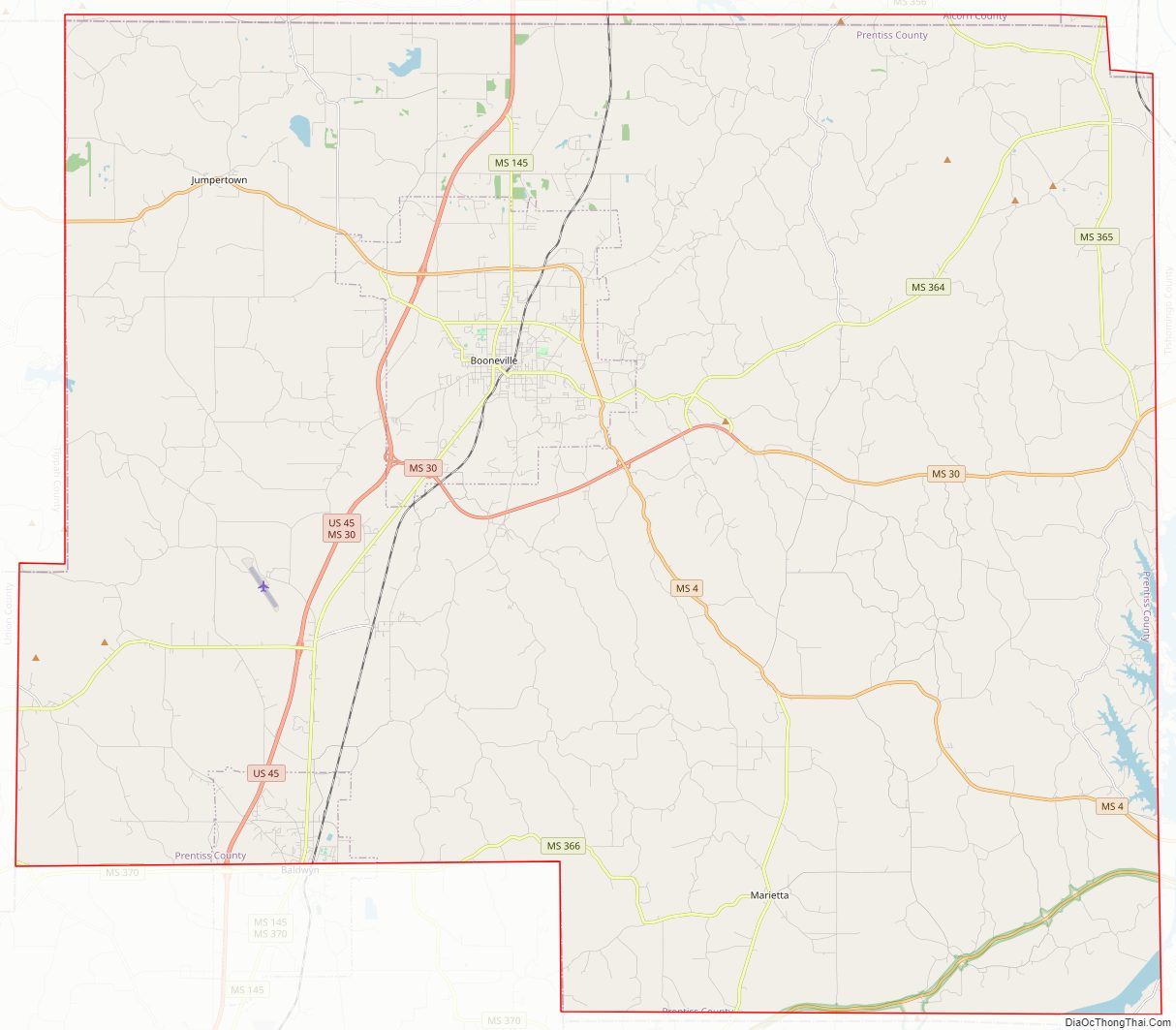
Prentiss County Road Map
Geography
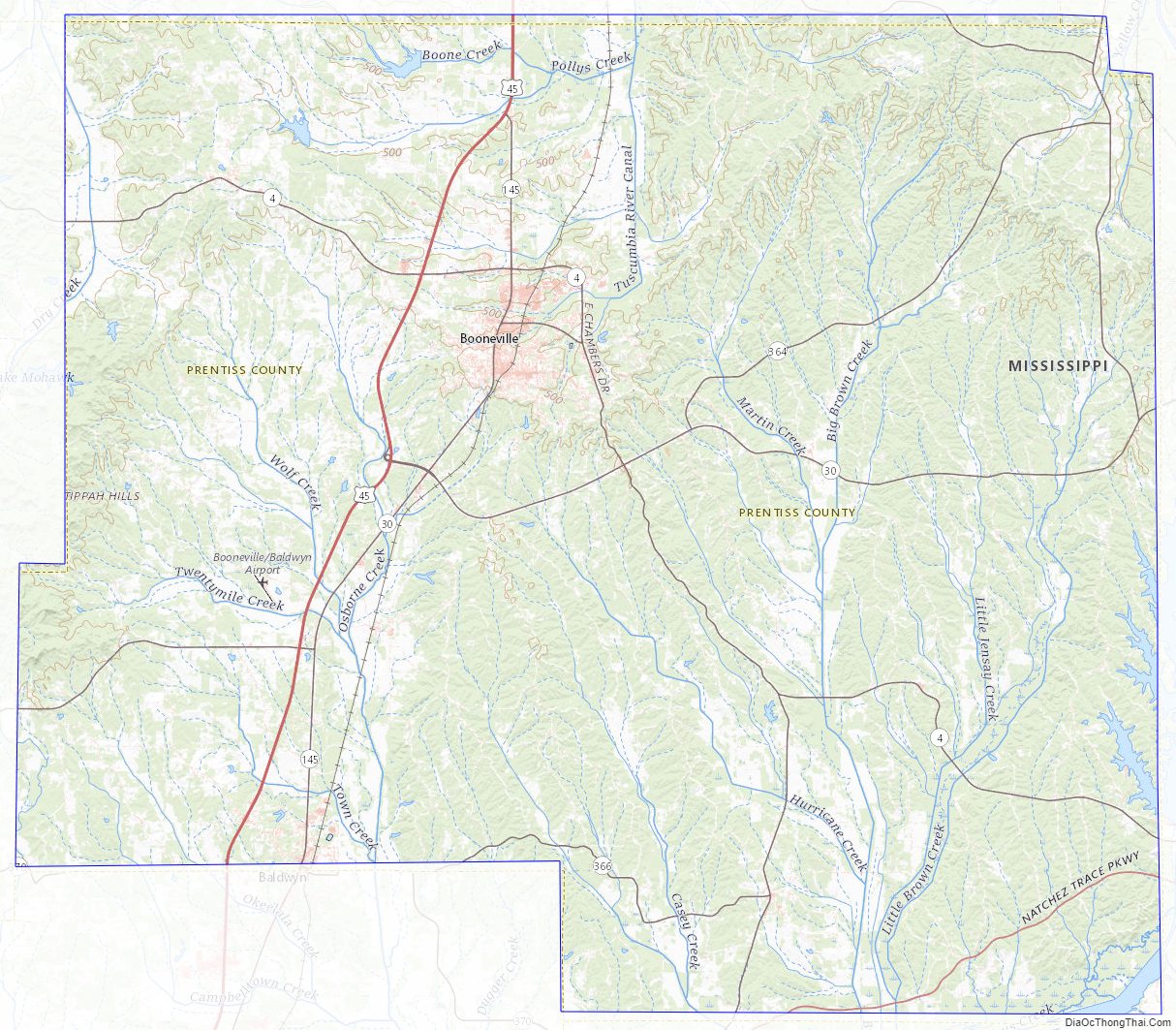
According to the U.S. Census Bureau, the county has a total area of 418 square miles (1,080 km), of which 415 square miles (1,070 km) is land and 3.2 square miles (8.3 km) (0.8%) is water.
Major highways
- U.S. Highway 45
- Mississippi Highway 4
- Mississippi Highway 30
- Mississippi Highway 145
Adjacent counties
- Alcorn County (north)
- Tishomingo County (east)
- Itawamba County (southeast)
- Lee County (southwest)
- Union County (west)
- Tippah County (northwest)
National protected area
- Natchez Trace Parkway (part)
Prentiss County Topographic Map
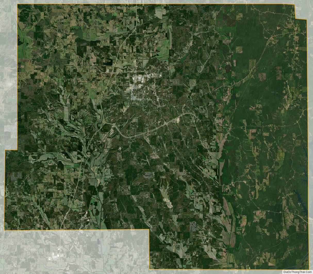
Prentiss County Satellite Map
Prentiss County Outline Map