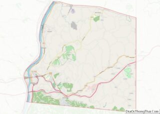
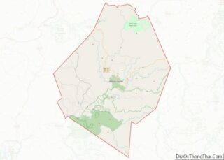
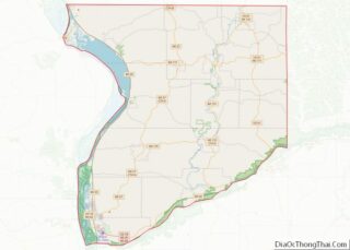
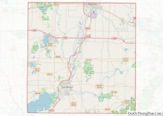
Map of Newton County

Map of Newton County, Texas

Newton County is the easternmost county in the U.S. state of Texas. As of the 2020 census, its population was 12,217. Its county seat is Newton. The county is named for John Newton, a veteran of the American Revolutionary War. Newton County is included in the Beaumont–Port Arthur Metropolitan Statistical Area. As of 2000, it … Read more

Map of Reagan County

Map of Reagan County, Texas

Reagan County overview: Name: Reagan County FIPS code: 48-383 State: Texas Founded: 1903 Named for: John Henninger Reagan Seat: Big Lake Largest city: Big Lake Total Area: 1,176 sq mi (3,050 km²) Land Area: 1,175 sq mi (3,040 km²) Total Population: 3,385 Population Density: 2.9/sq mi (1.1/km²) Time zone: UTC−6 (Central) Summer Time Zone (DST): UTC−5 (CDT) Website: www.reagancountytexas.us Reagan County location … Read more

Map of Scurry County

Map of Scurry County, Texas

Scurry County overview: Name: Scurry County FIPS code: 48-415 State: Texas Founded: 1884 Named for: William Read Scurry Seat: Snyder Largest city: Snyder Total Area: 908 sq mi (2,350 km²) Land Area: 905 sq mi (2,340 km²) Total Population: 16,932 Population Density: 19/sq mi (7.2/km²) Time zone: UTC−6 (Central) Summer Time Zone (DST): UTC−5 (CDT) Website: www.co.scurry.tx.us Scurry County location map. Where … Read more

Map of Throckmorton County

Map of Throckmorton County, Texas

Throckmorton County is a county located in the U.S. state of Texas. As of the 2020 census, its population was 1,440. Its county seat is Throckmorton. The county was created in 1858 and later organized in 1879. It is named for William Throckmorton, an early Collin County settler. Throckmorton County is one of five remaining … Read more

Map of Webb County

Map of Webb County, Texas

Webb County overview: Name: Webb County FIPS code: 48-479 State: Texas Founded: 1848 Named for: James Webb Seat: Laredo Largest city: Laredo Total Area: 3,375 sq mi (8,740 km²) Land Area: 3,361 sq mi (8,700 km²) Total Population: 267,114 Population Density: 79/sq mi (31/km²) Time zone: UTC−6 (Central) Summer Time Zone (DST): UTC−5 (CDT) Website: www.webbcountytx.gov Webb County location map. Where is … Read more

Map of Box Elder County

Map of Box Elder County, Utah

Box Elder County is a county at the northwestern corner of Utah, United States. At the 2020 census, the population was 57,666, up from the 2010 figure of 49,975. Its county seat and largest city is Brigham City. The county was named for the box elder trees that abound in the county. Box Elder County … Read more

Map of Salt Lake County

Map of Salt Lake County, Utah

Salt Lake County is located in the U.S. state of Utah. As of the 2020 United States census, the population was 1,185,238, making it the most populous county in Utah. Its county seat and largest city is Salt Lake City, the state capital. The county was created in 1850. Salt Lake County is the 37th … Read more

Map of Essex County

Map of Essex County, Vermont

Essex County is a county located in the northeastern part of the U.S. state of Vermont. As of the 2020 census, the population was 5,920, making it the least-populous county in both Vermont and New England. Its shire town (county seat) is the municipality of Guildhall. The county was created in 1792 and organized in … Read more

Map of Appomattox County

Map of Appomattox County, Virginia

Appomattox County is a United States county located in the Piedmont region and near the center of the Commonwealth of Virginia. The county is part of the Lynchburg, VA Metropolitan Statistical Area, and its county seat is the town of Appomattox. Appomattox County was created in 1845 from parts of four other Virginia counties. The … Read more

Map of Charles City County

Map of Charles City County, Virginia

Charles City County overview: Name: Charles City County FIPS code: 51-036 State: Virginia Founded: 1619 Named for: Charles I of England Seat: Charles City Total Area: 204 sq mi (530 km²) Land Area: 183 sq mi (470 km²) Total Population: 6,773 Population Density: 33/sq mi (13/km²) Charles City County location map. Where is Charles City County? History Native Americans Various Indian tribes … Read more

Map of Essex County

Map of Essex County, Virginia

Essex County is a county located in the Middle Peninsula in the U.S. state of Virginia; the peninsula is bordered by the Rappahannock River on the north and King and Queen County on the south. As of the 2020 census, the population was 10,599. Its county seat is Tappahannock. Essex County overview: Name: Essex County … Read more

Map of Greensville County

Map of Greensville County, Virginia

Greensville County is a county located in the Commonwealth of Virginia. As of the 2020 census, the population was 11,391. Its county seat is Emporia. Greensville County overview: Name: Greensville County FIPS code: 51-081 State: Virginia Founded: 1780 Seat: Emporia Largest town: Jarratt Total Area: 297 sq mi (770 km²) Land Area: 295 sq mi (760 km²) Total Population: 11,391 Population … Read more