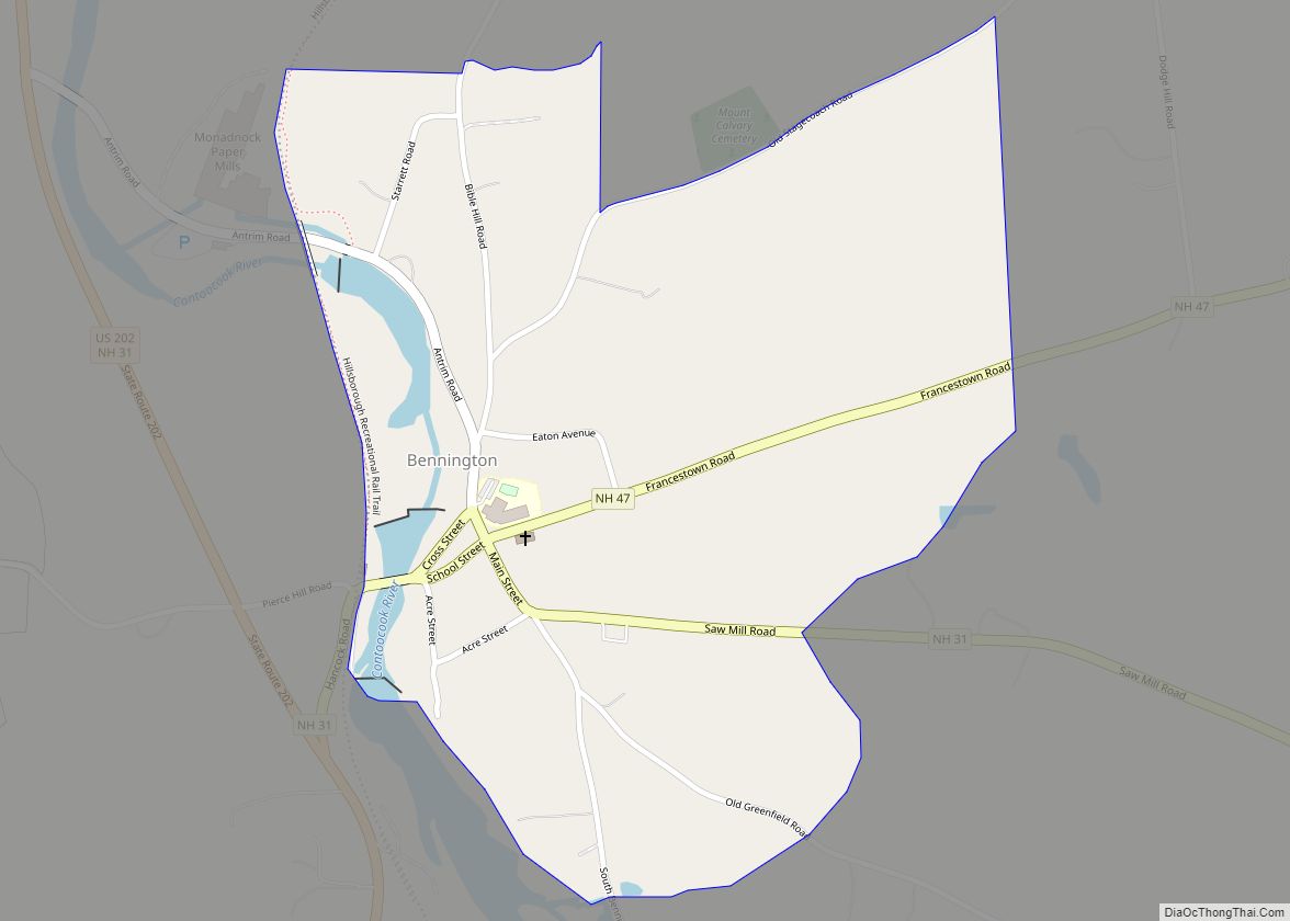
Map of Bennington CDP, New Hampshire

Map of Bennington CDP, New Hampshire

Bennington is a census-designated place (CDP) and the main village in the town of Bennington in Hillsborough County, New Hampshire, United States. The population of the CDP was 338 at the 2020 census, out of 1,501 in the entire town. Bennington CDP overview: Name: Bennington CDP LSAD Code: 57 LSAD Description: CDP (suffix) State: New … Read more

Map of Belmont CDP, New Hampshire

Map of Belmont CDP, New Hampshire

Belmont is a census-designated place (CDP) and the main village in the town of Belmont in Belknap County, New Hampshire, United States. The population was 1,285 at the 2020 census, out of 7,314 in the entire town of Belmont. Belmont CDP overview: Name: Belmont CDP LSAD Code: 57 LSAD Description: CDP (suffix) State: New Hampshire … Read more

Map of Bartlett CDP, New Hampshire

Map of Bartlett CDP, New Hampshire

Bartlett is a census-designated place (CDP) and the main village in the town of Bartlett in Carroll County, New Hampshire, United States. The population was 351 at the 2020 census, out of 3,200 in the entire town of Bartlett. Bartlett CDP overview: Name: Bartlett CDP LSAD Code: 57 LSAD Description: CDP (suffix) State: New Hampshire … Read more

Map of Ashland CDP, New Hampshire

Map of Ashland CDP, New Hampshire

Ashland is a census-designated place (CDP) and the main village in the town of Ashland in Grafton County, New Hampshire, United States. The population of the CDP was 1,082 at the 2020 census, out of 1,938 in the entire town. Ashland CDP overview: Name: Ashland CDP LSAD Code: 57 LSAD Description: CDP (suffix) State: New … Read more

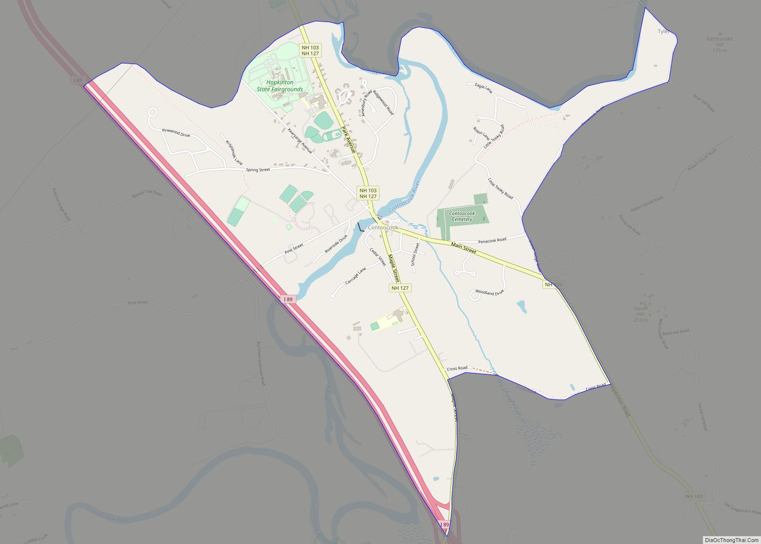
Map of Contoocook CDP

Map of Contoocook CDP

Contoocook (/kənˈtʊkək/ (listen)) is a village and census-designated place (CDP) within the town of Hopkinton in Merrimack County, New Hampshire, United States. The population was 1,427 at the 2020 census. Contoocook is well known for its growth of small businesses, preservation of historical landmarks, community involvement and recreational activities within the village. Contoocook CDP overview: … Read more

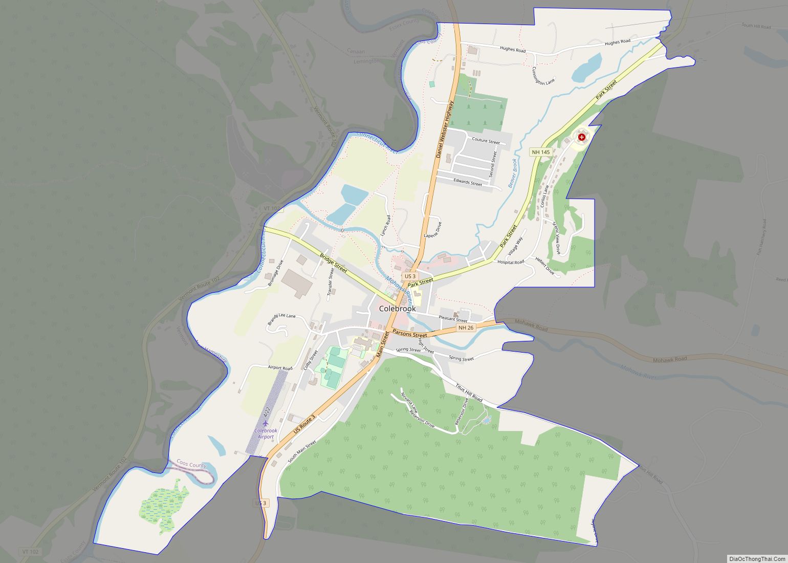
Map of Colebrook CDP

Map of Colebrook CDP

Colebrook is a census-designated place (CDP) and the main village in the town of Colebrook, Coös County, New Hampshire, United States. The population of the CDP was 1,201 at the 2020 census, out of 2,084 in the entire town. The CDP population had dropped from 1,394 at the 2010 census. Colebrook CDP overview: Name: Colebrook … Read more

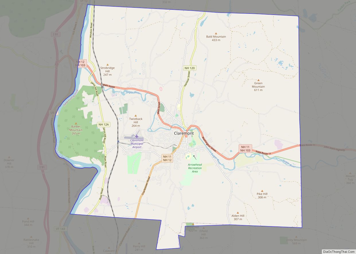
Map of Claremont city, New Hampshire

Map of Claremont city, New Hampshire

Claremont is the only city in Sullivan County, New Hampshire, United States. The population was 12,949 at the 2020 census. Claremont city overview: Name: Claremont city LSAD Code: 25 LSAD Description: city (suffix) State: New Hampshire County: Sullivan County Incorporated: 1764 (town), 1947 (city) Elevation: 551 ft (168 m) Total Area: 44.05 sq mi (114.09 km²) Land Area: 43.15 sq mi (111.77 km²) … Read more

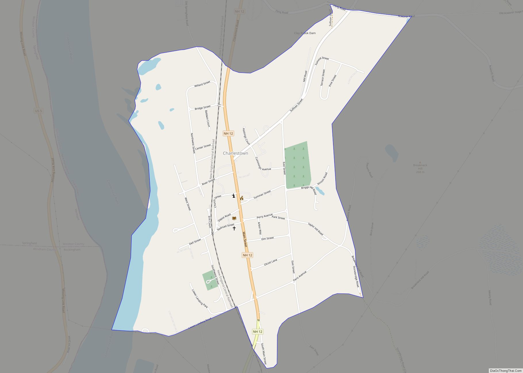
Map of Charlestown CDP, New Hampshire

Map of Charlestown CDP, New Hampshire

Charlestown is a census-designated place (CDP) and the main village in the town of Charlestown, Sullivan County, New Hampshire, United States. The population of the CDP was 1,078 at the 2020 census, out of 4,806 in the entire town. Charlestown CDP overview: Name: Charlestown CDP LSAD Code: 57 LSAD Description: CDP (suffix) State: New Hampshire … Read more

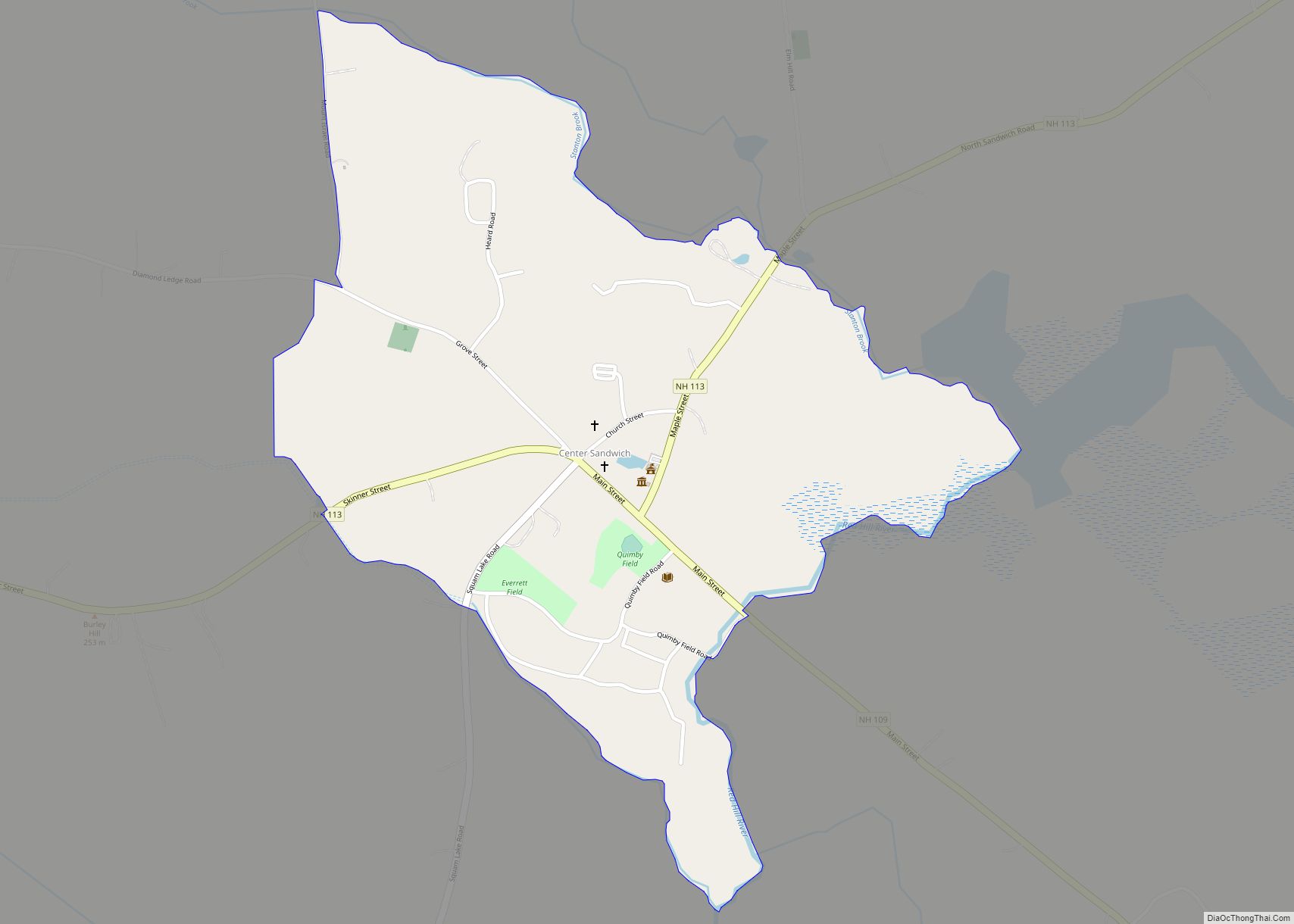
Map of Center Sandwich CDP

Map of Center Sandwich CDP

Center Sandwich is a census-designated place in the town of Sandwich in Carroll County, New Hampshire, in the United States. It is the primary settlement in the town and had a population of 156 at the 2020 census. The village center and surrounding area are listed on the National Register of Historic Places as the … Read more

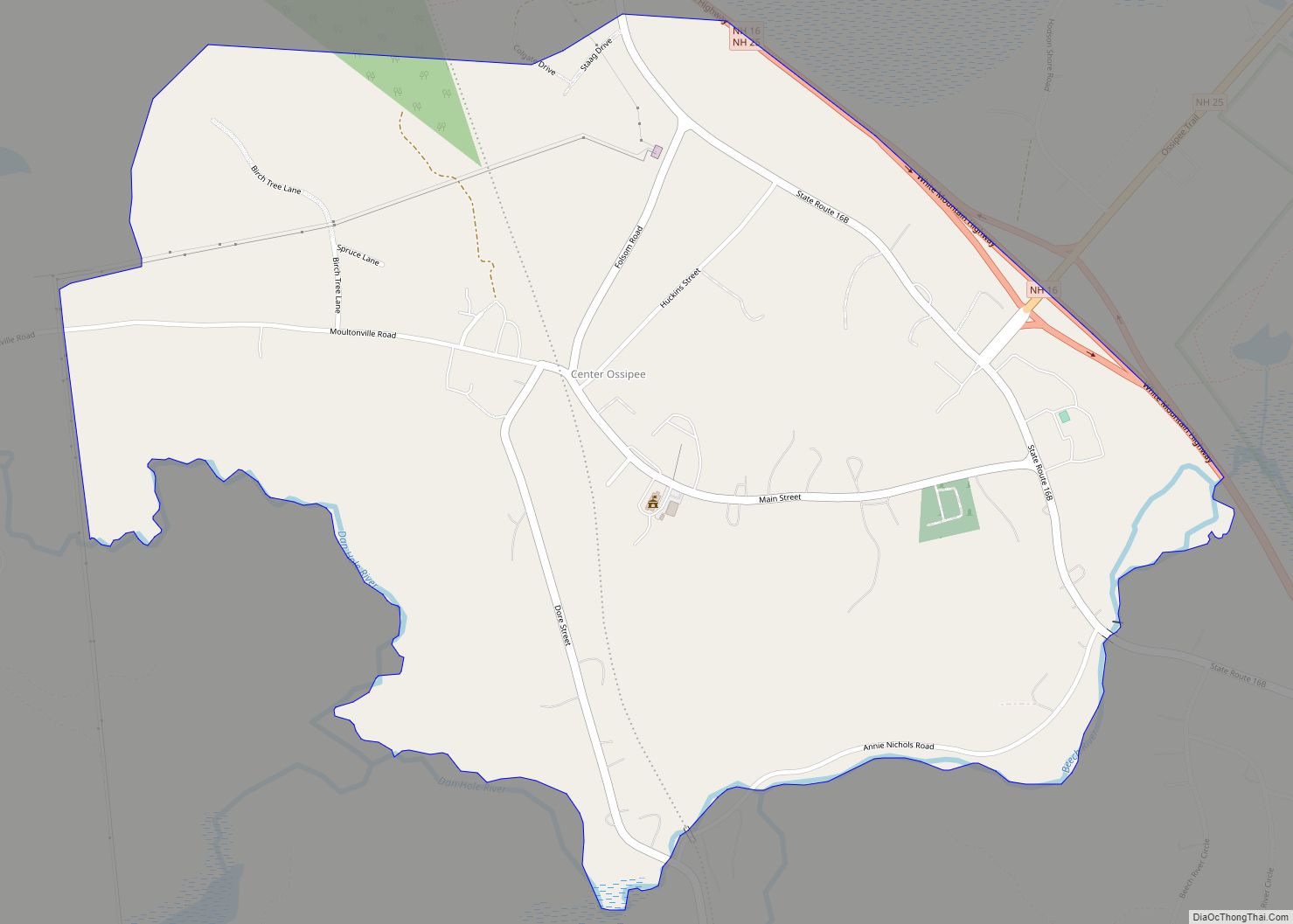
Map of Center Ossipee CDP

Map of Center Ossipee CDP

Center Ossipee is a census-designated place in the town of Ossipee in Carroll County, New Hampshire. The population was 526 at the 2020 census. It is one of the two main villages in the town, the other being Ossipee Corner (shown simply as “Ossipee” on topographic maps). Center Ossipee has a separate ZIP code (03814) … Read more

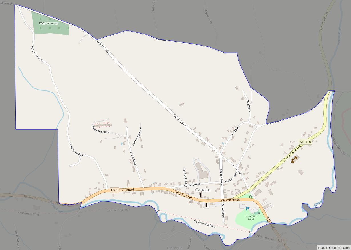
Map of Canaan CDP, New Hampshire

Map of Canaan CDP, New Hampshire

Canaan is a census-designated place (CDP) and the main village in the town of Canaan in Grafton County, New Hampshire, United States. The population of the CDP was 442 at the 2020 census, out of 3,794 in the entire town. Canaan CDP overview: Name: Canaan CDP LSAD Code: 57 LSAD Description: CDP (suffix) State: New … Read more

Map of Bristol CDP, New Hampshire

Map of Bristol CDP, New Hampshire

Bristol is a census-designated place (CDP) and the main village in the town of Bristol in Grafton County, New Hampshire, United States. The population of the CDP was 1,911 at the 2020 census, out of 3,244 in the entire town. Bristol CDP overview: Name: Bristol CDP LSAD Code: 57 LSAD Description: CDP (suffix) State: New … Read more