Belmont is a census-designated place (CDP) and the main village in the town of Belmont in Belknap County, New Hampshire, United States. The population was 1,285 at the 2020 census, out of 7,314 in the entire town of Belmont.
| Name: | Belmont CDP |
|---|---|
| LSAD Code: | 57 |
| LSAD Description: | CDP (suffix) |
| State: | New Hampshire |
| County: | Belknap County |
| Elevation: | 528 ft (161 m) |
| Total Area: | 1.27 sq mi (3.30 km²) |
| Land Area: | 1.26 sq mi (3.26 km²) |
| Water Area: | 0.01 sq mi (0.04 km²) |
| Total Population: | 1,285 |
| Population Density: | 1,021.46/sq mi (394.45/km²) |
| ZIP code: | 03220 |
| Area code: | 603 |
| FIPS code: | 3304660 |
| GNISfeature ID: | 2629713 |
Online Interactive Map
Click on ![]() to view map in "full screen" mode.
to view map in "full screen" mode.
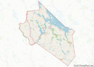
Belmont location map. Where is Belmont CDP?


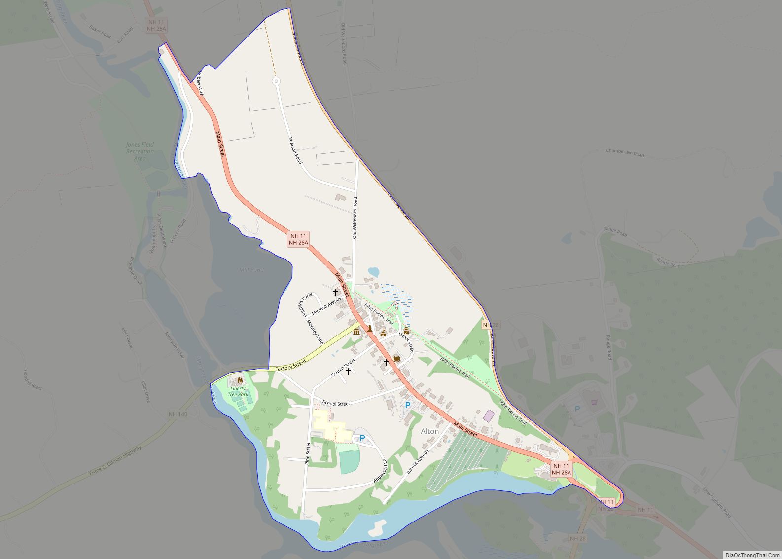
Belmont Road Map

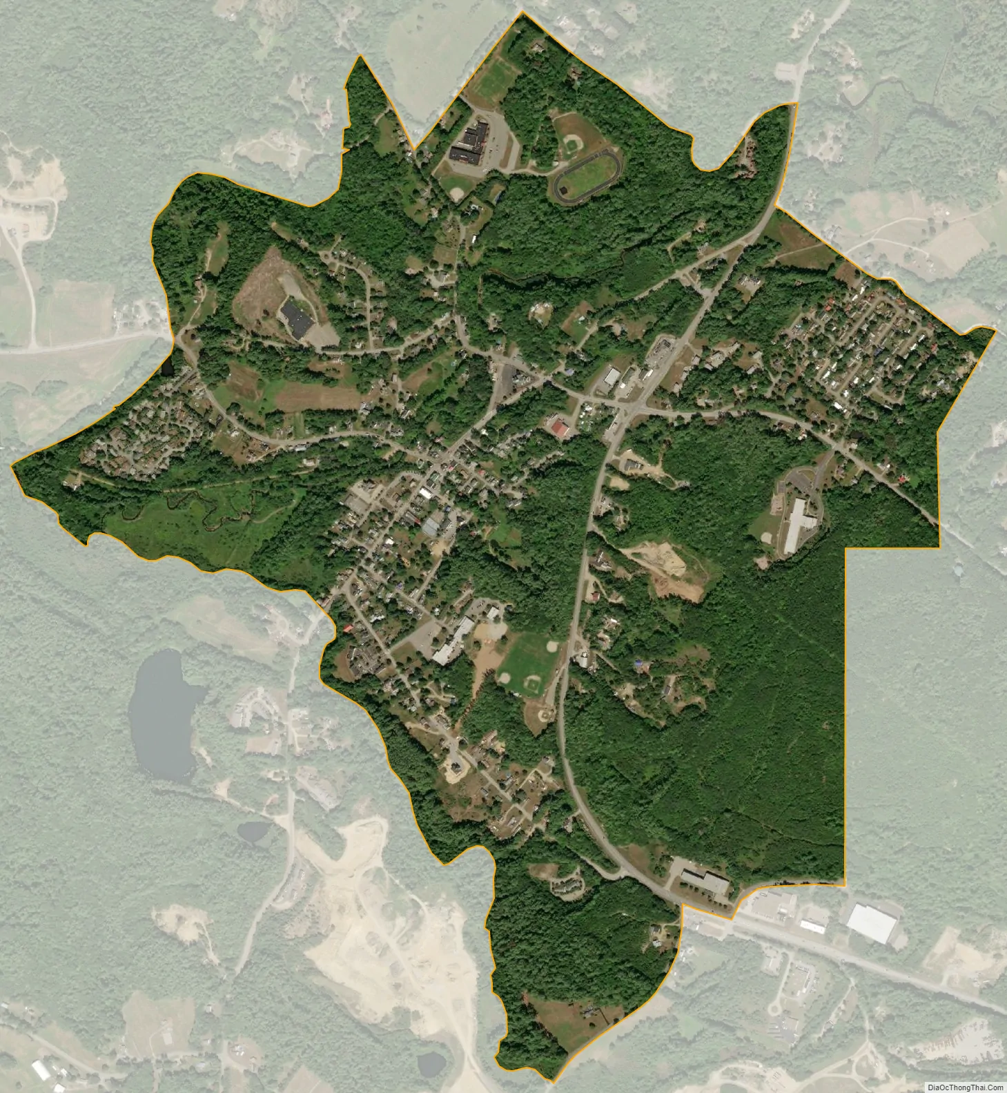
Belmont city Satellite Map
Geography
The CDP is in the southern part of the town, along a portion of the Tioga River that drops about 40 feet (12 m) in 0.4 miles (0.64 km). The CDP extends southwest to Pumping Station Brook, south as far as Wareing Road and Higgins Drive, east to include Belmont Elementary School and the housing development around Sleepy Hollow Lane, north to Perkins Road, River Street, Seavey Road, and Hurricane Road, and northwest to an unnamed brook that joins the Tioga River just west of Pumping Station Brook.
New Hampshire Routes 106 and 140 intersect in the CDP just east of the village center. Route 106 leads north 6 miles (10 km) to Laconia and south 16 miles (26 km) to Interstate 393 in the east part of Concord, while Route 140 leads east 16 miles (26 km) to Alton and west 5 miles (8 km) to U.S. Route 3 in Tilton.
According to the United States Census Bureau, the Belmont CDP has a total area of 1.3 square miles (3.3 km), of which 0.02 square miles (0.04 km), or 1.15%, are water.
See also
Map of New Hampshire State and its subdivision: Map of other states:- Alabama
- Alaska
- Arizona
- Arkansas
- California
- Colorado
- Connecticut
- Delaware
- District of Columbia
- Florida
- Georgia
- Hawaii
- Idaho
- Illinois
- Indiana
- Iowa
- Kansas
- Kentucky
- Louisiana
- Maine
- Maryland
- Massachusetts
- Michigan
- Minnesota
- Mississippi
- Missouri
- Montana
- Nebraska
- Nevada
- New Hampshire
- New Jersey
- New Mexico
- New York
- North Carolina
- North Dakota
- Ohio
- Oklahoma
- Oregon
- Pennsylvania
- Rhode Island
- South Carolina
- South Dakota
- Tennessee
- Texas
- Utah
- Vermont
- Virginia
- Washington
- West Virginia
- Wisconsin
- Wyoming