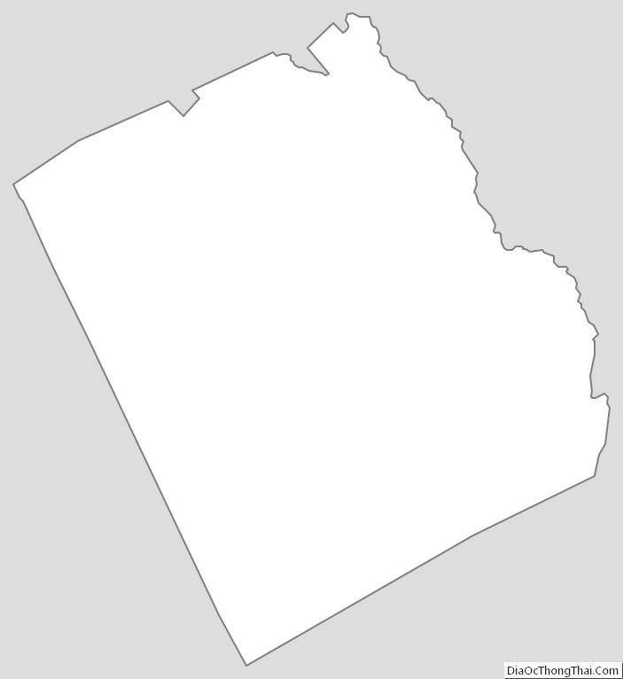
Wilkinson County is a county located in the central portion of the U.S. state of Georgia. As of the 2020 census, the population was 8,877. The county seat is Irwinton. The county was created on May 11, 1803, and named for General James Wilkinson (1757–1825).
| Name: | Wilkinson County |
|---|---|
| FIPS code: | 13-319 |
| State: | Georgia |
| Founded: | 1803 |
| Named for: | James Wilkinson |
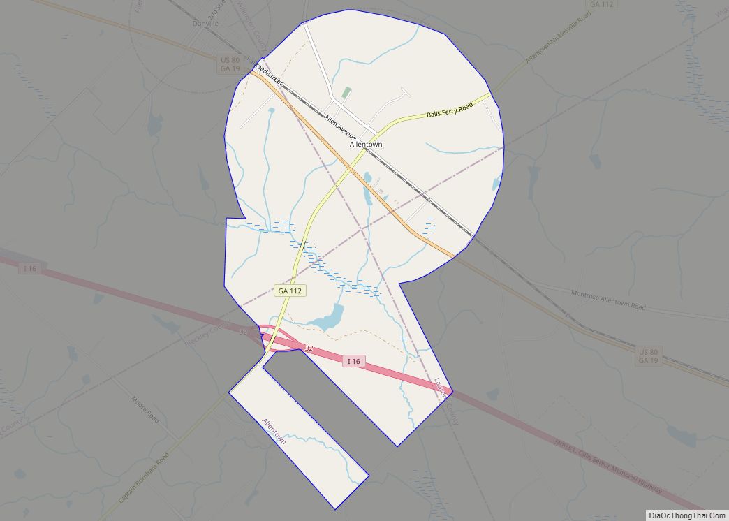
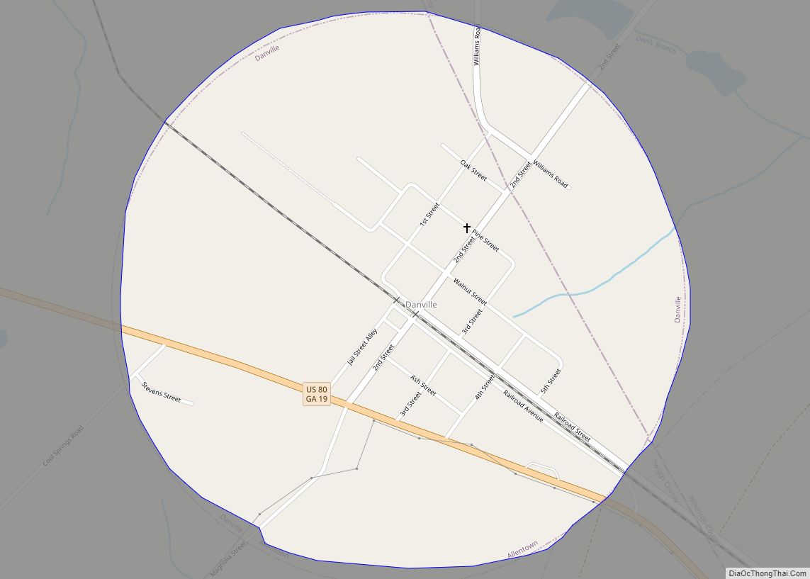
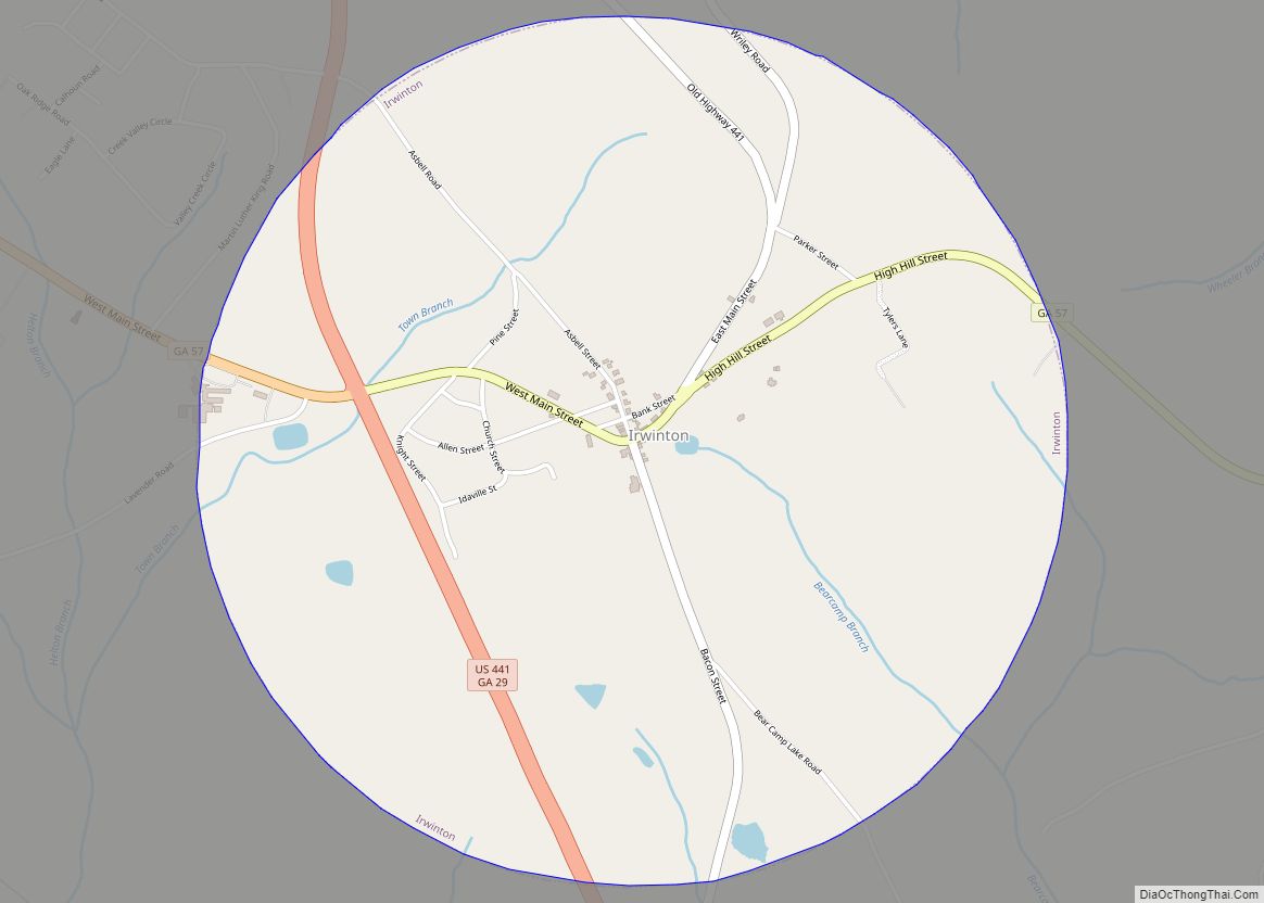
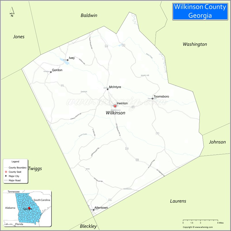
| Seat: | Irwinton |
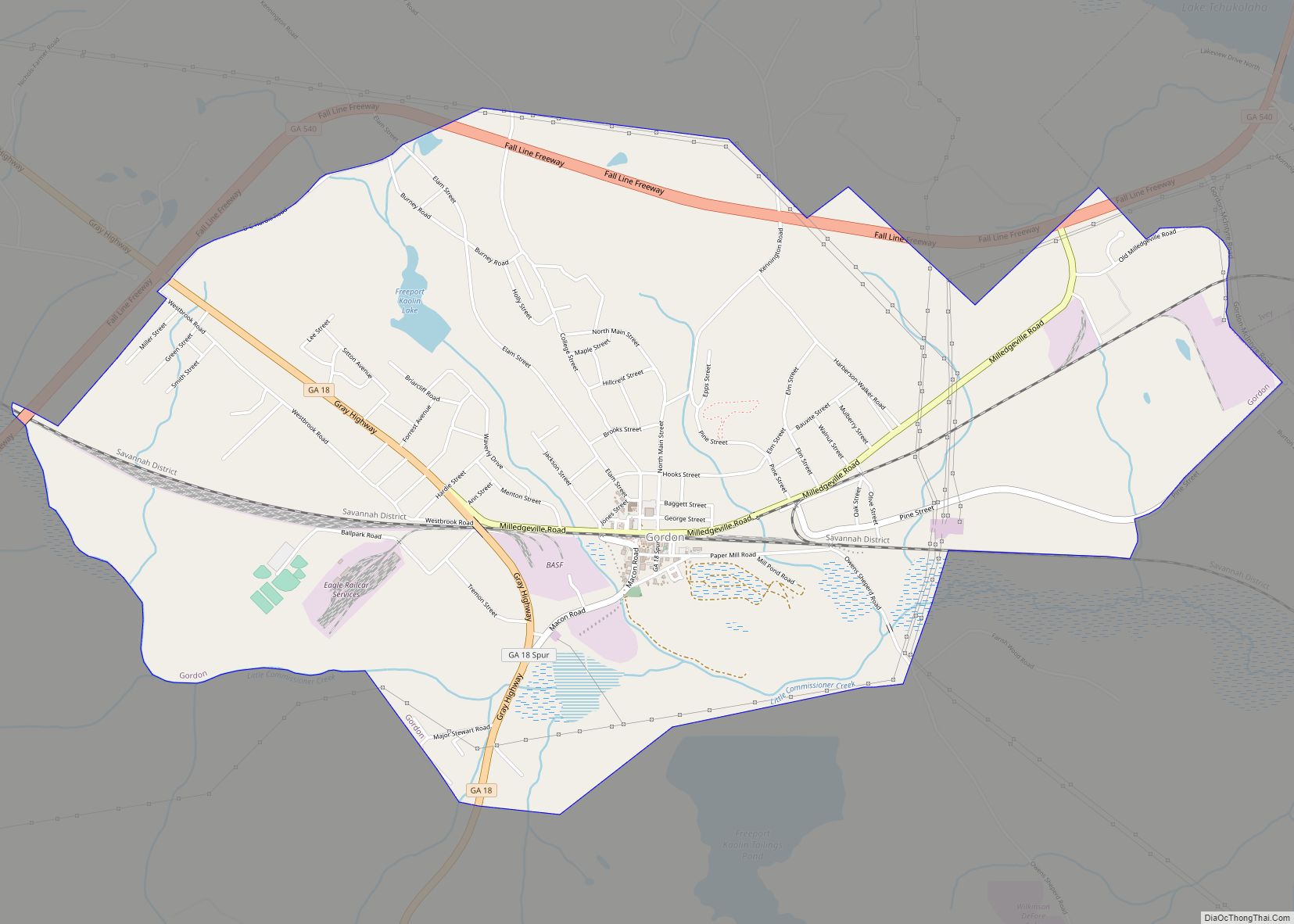
| Largest city: | Gordon |
| Total Area: | 452 sq mi (1,170 km²) |
| Land Area: | 447 sq mi (1,160 km²) |
| Total Population: | 8,877 |
| Time zone: | UTC−5 (Eastern) |
| Summer Time Zone (DST): | UTC−4 (EDT) |
| Website: | www.wilkinsoncounty.net |
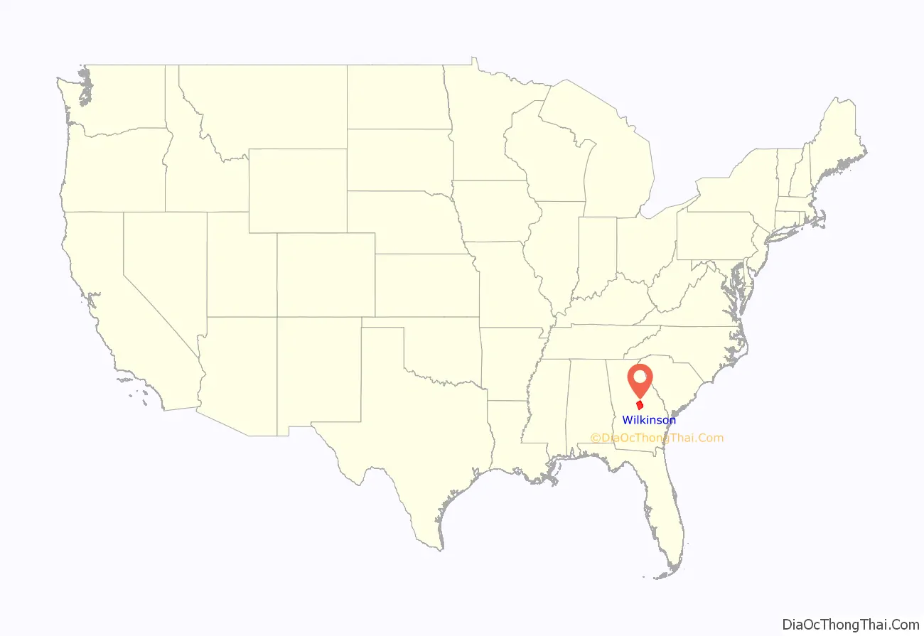
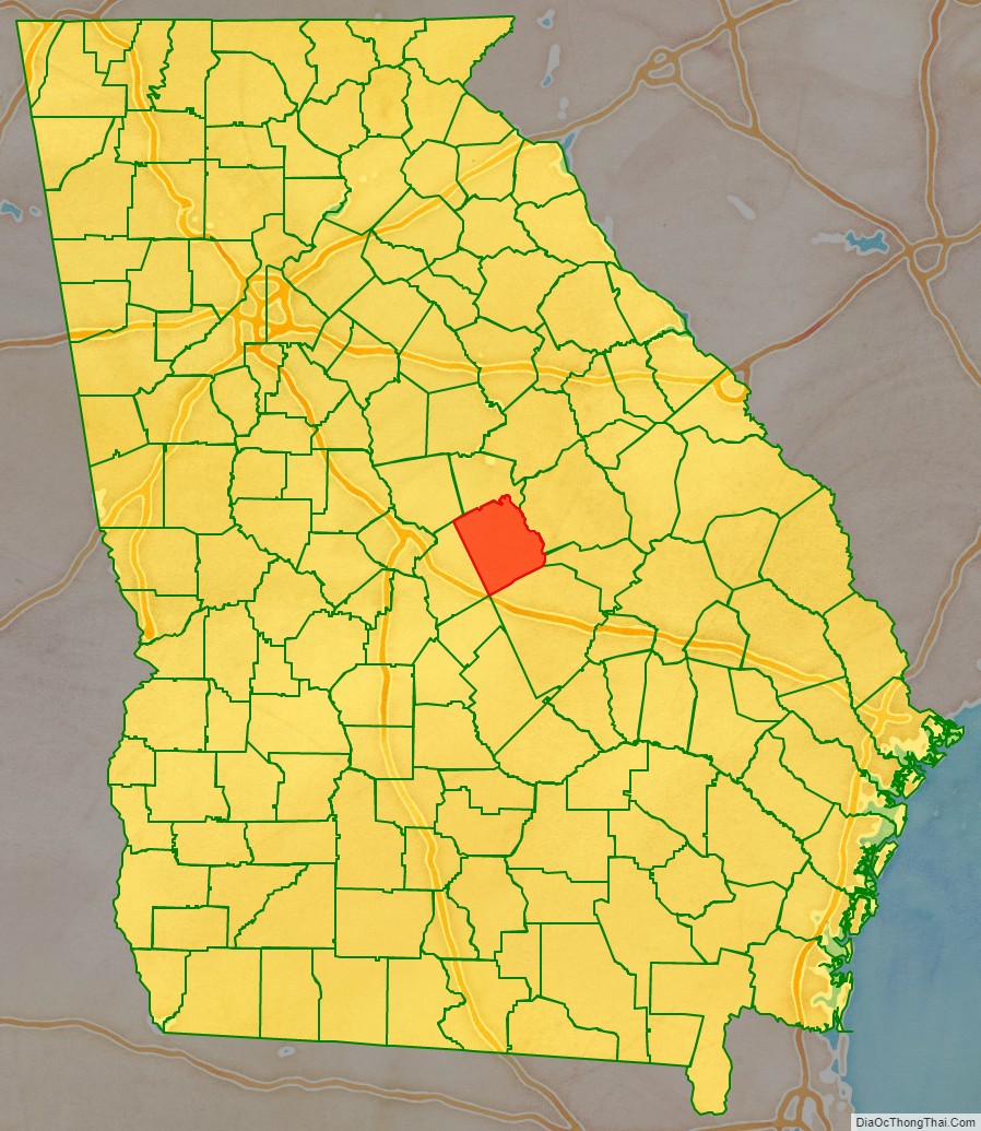
Wilkinson County location map. Where is Wilkinson County?
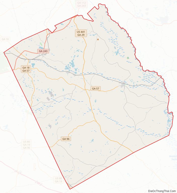
Wilkinson County Road Map
Geography
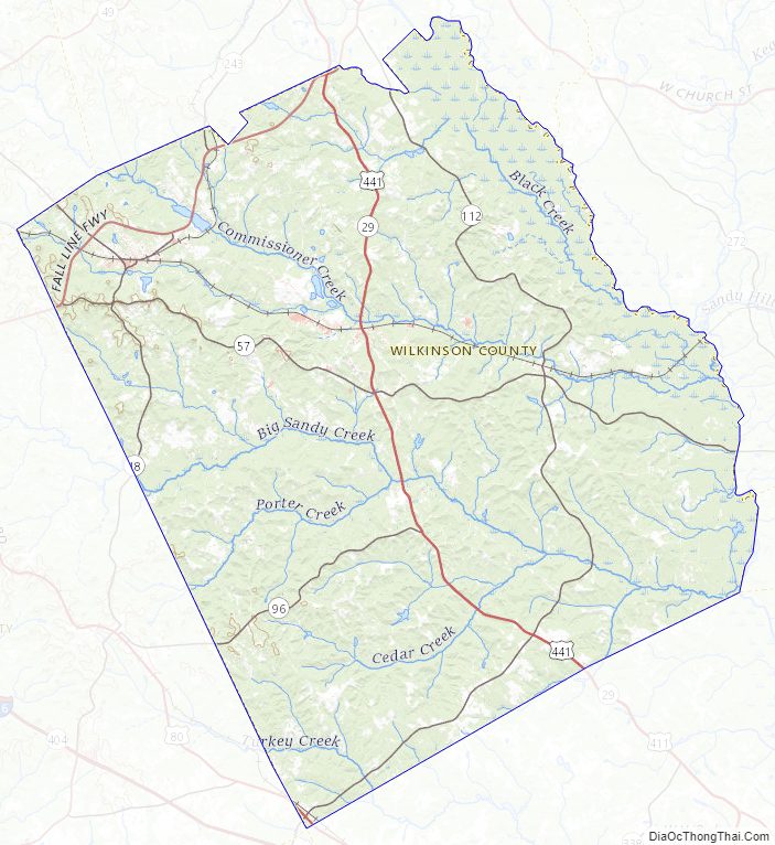
According to the U.S. Census Bureau, the county has a total area of 452 square miles (1,170 km), of which 447 square miles (1,160 km) is land and 4.6 square miles (12 km) (1.0%) is water. The county is located mainly in the upper Atlantic coastal plain region of the state, but does have some rolling hills due to its close proximity to the fall line.
The entirety of Wilkinson County is located in the Lower Oconee River sub-basin of the Altamaha River basin.
Major highways
- U.S. Route 80
- U.S. Route 441
- State Route 18
- State Route 18 Spur
- State Route 19
- State Route 29
- State Route 57
- State Route 96
- State Route 112
- State Route 243
- State Route 540 (Fall Line Freeway)
Adjacent counties
- Baldwin County (north)
- Bleckley County (south)
- Washington County (northeast)
- Johnson County (east)
- Laurens County (southeast)
- Twiggs County (southwest)
- Jones County (northwest)
Wilkinson County Topographic Map
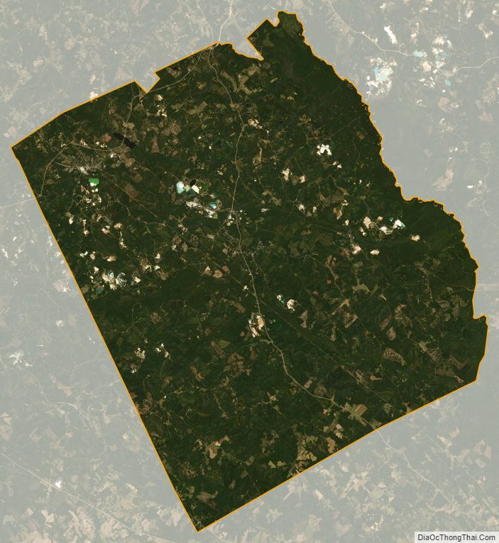
Wilkinson County Satellite Map
Wilkinson County Outline Map