The United States (US) covers a total area of 9,833,520 sq. km. Of this area, the 48 contiguous states and the District of Columbia cover 8,080,470 sq. km. The archipelago of Hawaii has an area of 28,311 sq. km while the remaining area is part of the US territories.
The greatest east-west distance in the 48 contiguous states of the country is 4,500 km. North-south, the longest distance in the 48 contiguous states region is 2,660 km.
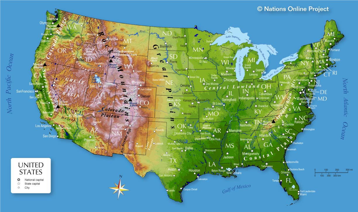
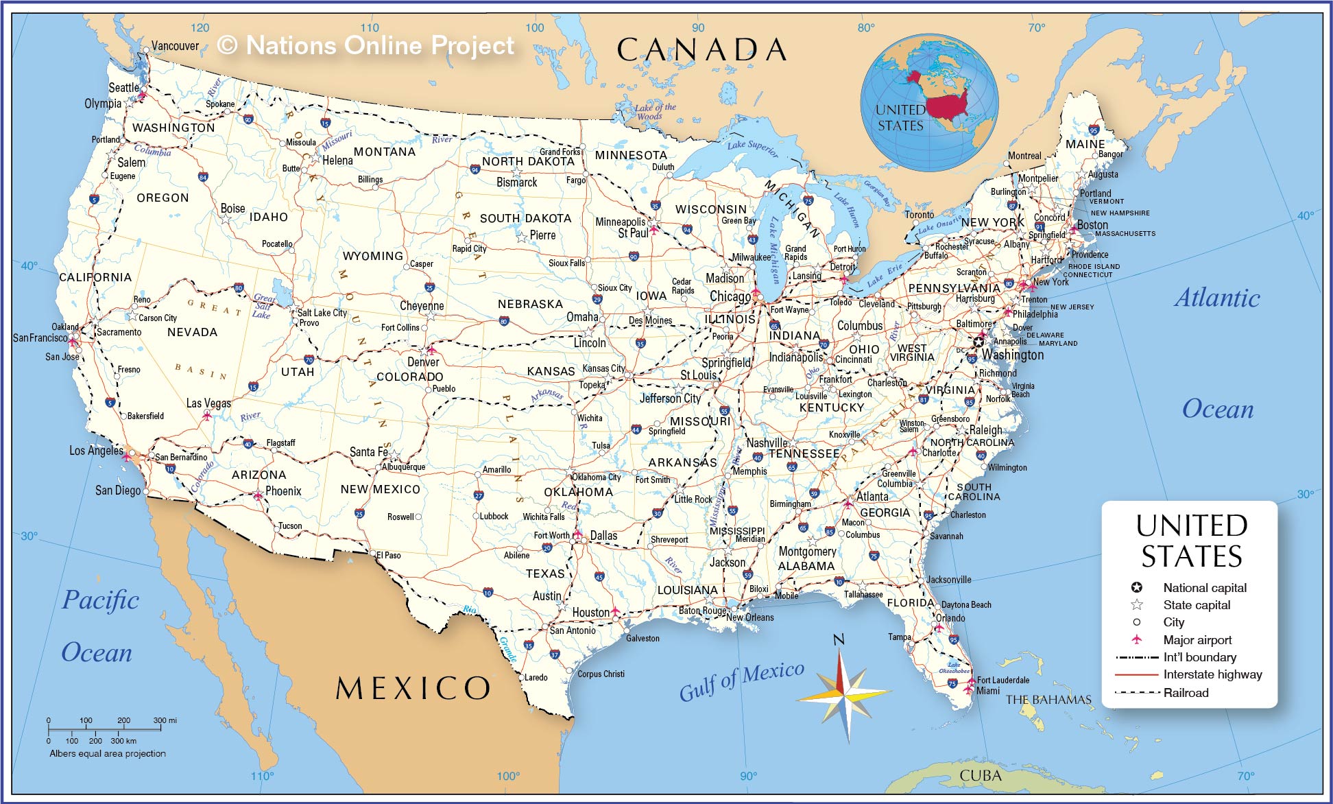
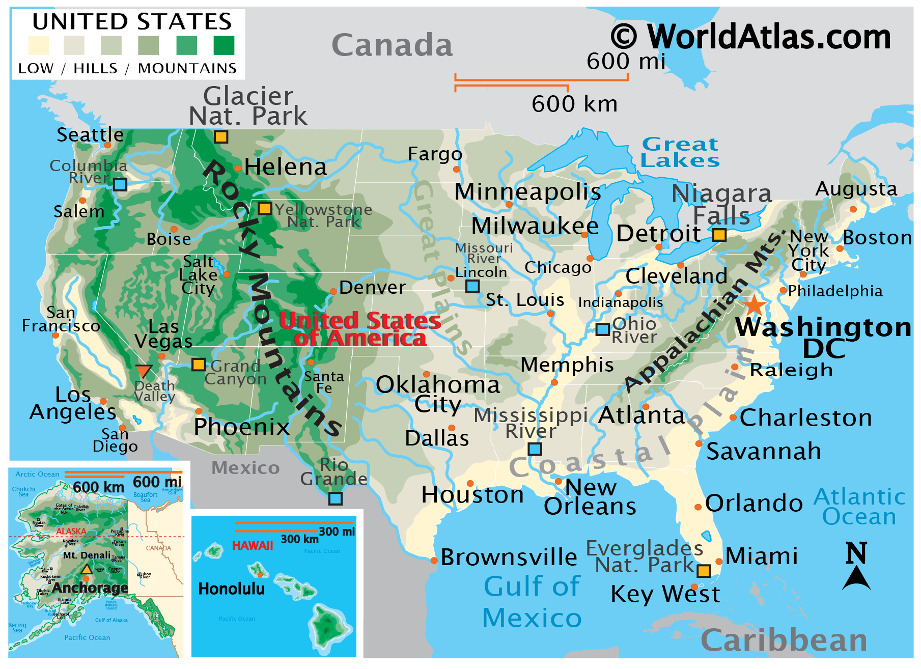
This physical map of the US shows the terrain of all 50 states of the USA. Higher elevation is shown in brown identifying mountain ranges such as the Rocky Mountains, Sierra Nevada Mountains and the Appalachian Mountains. Lower elevations are indicated throughout the southeast of the country, as well as along the Eastern Seaboard. Major rivers in the country include the Mississippi, the Missouri, the Colorado, the Arkansas, and the Columbia. Large lakes include the Great Lakes system consisting of Lake Superior, Lake Huron, Lake Michigan, Lake Erie, and Lake Ontario. Denali (Mount Mckinley) in Alaska is the state’s highest point wich rises to an elevation of 20,322ft (6,194m). The state’s lowest point is at the Badwater Basin, Death Valley, California at -282ft (-86m).
| Flag: | 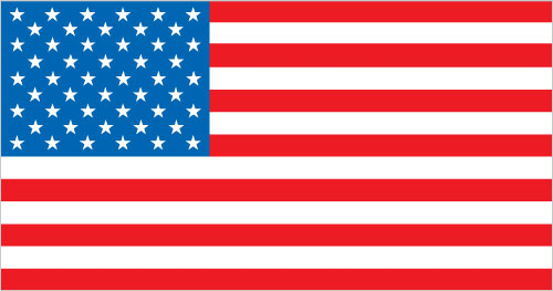 |
|---|---|
| Legal Name: | United States of America |
| Capital Value: | Washington, D.C. |
| Demonym(s): | American |
| Government: | Federal presidential constitutional republic |
| Legislature: | Congress |
| Total Area: | 9,833,517 km² |
| Land Area: | 9,147,593 km² |
| Water Area: | 685,924 km² |
| Population: | 328,239,523 |
| Density: | 87/sq mi (33.6/km) (185th) |
| GDP: | $21.37 Trillion |
| GDP Per Capita: | $65,118.36 |
| Currency Value: | US Dollar (USD) |
| Driving side: | right |
| Calling code: | +1 |
| Internet TLD: | .us |
Location Maps
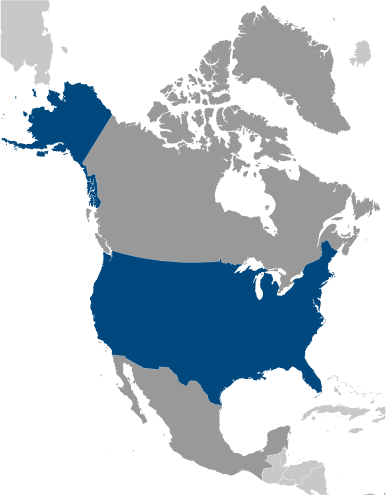
Where is United States?
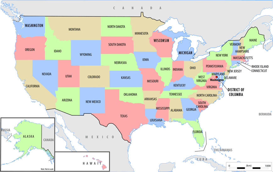
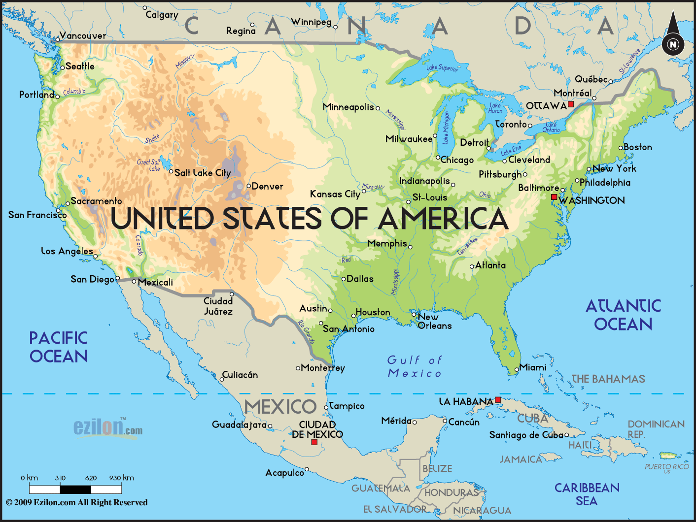
High Definition Political Map of United States

Physical Map of United States
Topo Map