Baldwin County is a county located in the central portion of the U.S. state of Georgia. As of the 2020 census, its population was 43,799. The county seat is Milledgeville, which was developed along the Oconee River.
Baldwin County is part of the Milledgeville micropolitan statistical area.
| Name: | Baldwin County |
|---|---|
| FIPS code: | 13-009 |
| State: | Georgia |
| Founded: | 1803 |
| Named for: | Abraham Baldwin |
| Seat: | Milledgeville |
| Largest city: | Milledgeville |
| Total Area: | 267 sq mi (690 km²) |
| Land Area: | 258 sq mi (670 km²) |
| Total Population: | 43,799 |
| Population Density: | 170/sq mi (70/km²) |
| Time zone: | UTC−5 (Eastern) |
| Summer Time Zone (DST): | UTC−4 (EDT) |
| Website: | www.baldwincountyga.com |
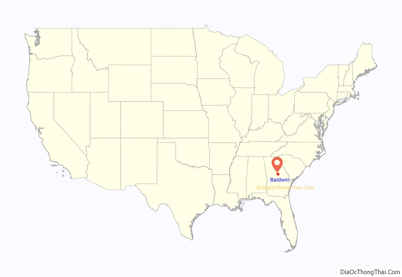
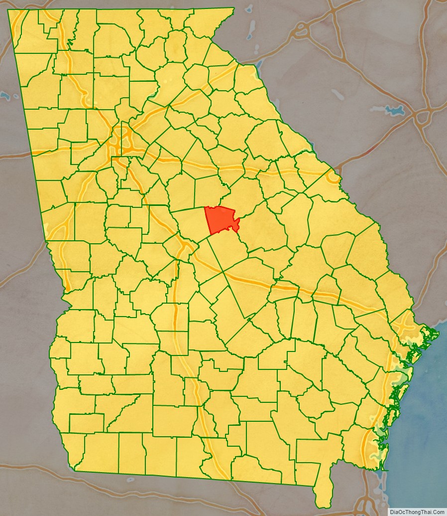
Baldwin County location map. Where is Baldwin County?
History
For centuries, the land was occupied by the Creek Nation, and for thousands of years before them, varying cultures of indigenous peoples.
Part of the land ceded by the Creek people in the Treaty of Fort Wilkinson in 1802 was used to create Baldwin County on May 11, 1803, by the Georgia General Assembly, the state’s legislative body.
The land west of the Oconee River was organized as Baldwin and Wilkinson Counties. The Treaty of Washington with the Creek in 1805 extended the state’s western boundary to the Ocmulgee River. A legislative act on June 26, 1806, added some of this additional land to both counties.
The state legislature subsequently passed an act on December 10, 1807, that created four new counties from Baldwin County’s 1806 borders. It expanded Baldwin to the east with land from Hancock and Washington Counties. The new counties were Morgan, Jones, Putnam, and present-day Jasper (originally named Randolph County at the time of the act).
The county is named for Abraham Baldwin, a signer of the United States Constitution, U.S. congressman representing Georgia, and the founder of the University of Georgia. White settlers moved into the area and developed large cotton plantations, made possible by the labor of slaves. Since the invention of the cotton gin, short-staple cotton could be profitably processed, and it was well-suited to the uplands of Georgia. What became known as the Black Belt of Georgia, an arc of fertile soil, was one of the destinations for slaves being sold from the Upper South, as well as from the Low Country.
The county seat of Milledgeville is the former state capital of Georgia (1804–1868). Other than Washington, DC, it is the only planned capital city in the United States. Indianapolis, the capital of Indiana is also a planned city.
Because of its central location within the state and its abundant supply of water from the Oconee River, Milledgeville grew rapidly into a bustling frontier town. On November 2, 1807, the state legislature held its first session in the newly completed statehouse in Milledgeville. Georgia’s first state penitentiary was also built within the historic city limits of Milledgeville in 1817. This site is now used as the main campus of Georgia College and State University. In 1837, the General Assembly provided for the establishment of the state’s first mental asylum, today known as Central State Hospital.
When the state of Georgia seceded from the Union in January 1861, during a legislative session held in Milledgeville, Baldwin County became a target for Union forces. When Union general William T. Sherman made his devastating March to the Sea through Georgia, his troops occupied the capital city in November 1864. Sherman and his Union armies burned the state penitentiary, vandalized the city, and held a mock session of the legislature in the statehouse to repeal the state’s ordinance of secession.
In 1868, after the Civil War (1861–65), Georgia’s capital was moved from Milledgeville to its present location in Atlanta. Today, Milledgeville is home to two institutions of higher education: Georgia College and State University and Georgia Military College. Founded in 1889 as the Georgia Normal and Industrial College for Women, Georgia College and State University has since grown to become the state’s premier public liberal-arts university. Georgia Military College, founded in 1879, now occupies the Old Capitol Building.
In addition to the Old Capitol and Governor’s Mansion, visitors to Baldwin County can explore Andalusia, the family farm of writer Flannery O’Connor; Milledgeville’s historic district; and the Lockerly Arboretum, a botanical garden and nature education center that hosts the Lockerly Heritage Festival each September.
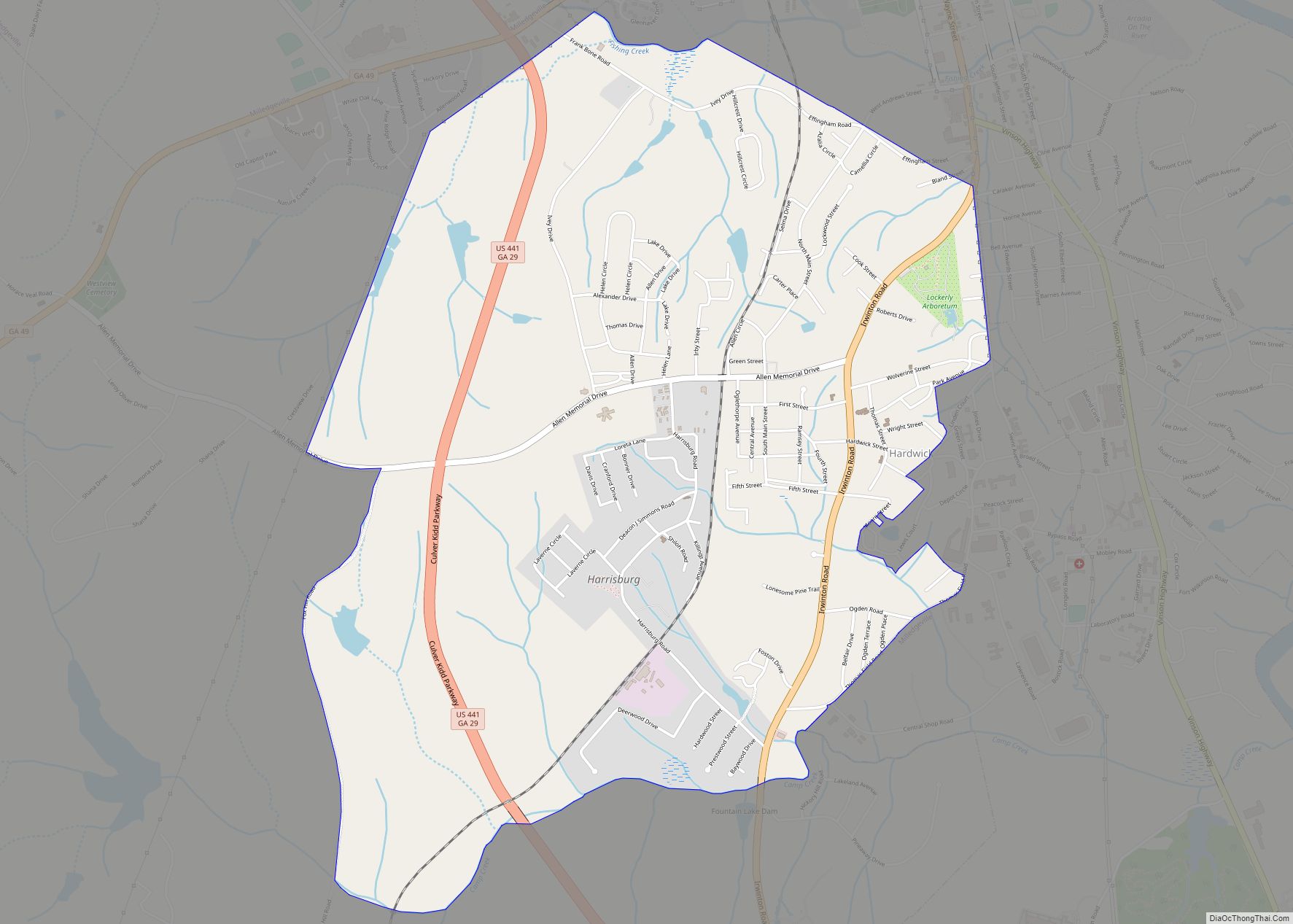
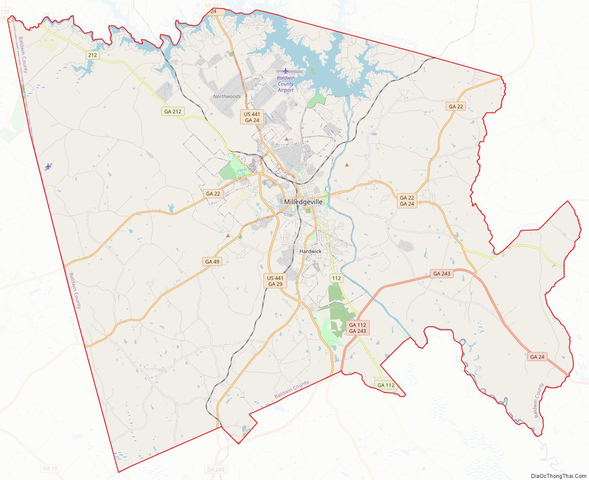
Baldwin County Road Map
Geography
According to the U.S. Census Bureau, the county has a total area of 267 square miles (690 km), of which 9.6 square miles (25 km) (3.6%) is covered by water.
The county is located along the fall line of the Eastern United States. The city of Milledgeville, which is located along the Oconee River, is an important city in the region. Because of its location, the northern part of the county tends to be more hilly due to its location in the Piedmont than the southern part of the county, which is in the far northern part of the Atlantic coastal plain.
Most of Baldwin County, south of Lake Sinclair, is located in the Lower Oconee River sub-basin of the Altamaha River basin. The northern portion of the county is located in the Upper Oconee River sub-basin of the same Altamaha River basin.
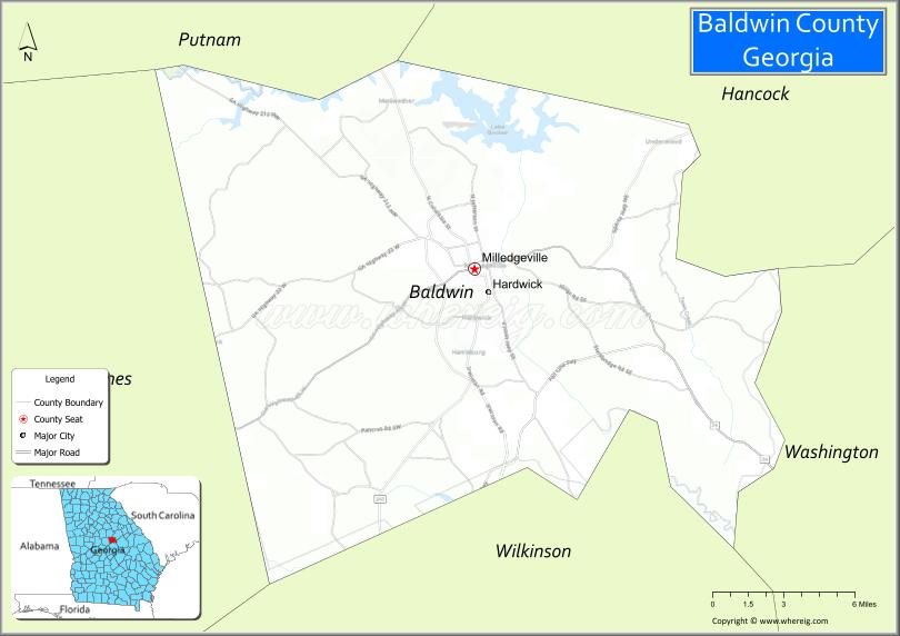
Adjacent counties
- Putnam County, Georgia – north
- Hancock County, Georgia – northeast
- Washington County, Georgia – east
- Wilkinson County, Georgia – south
- Jones County, Georgia – west
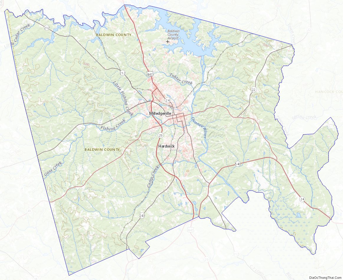
Baldwin County Topographic Map
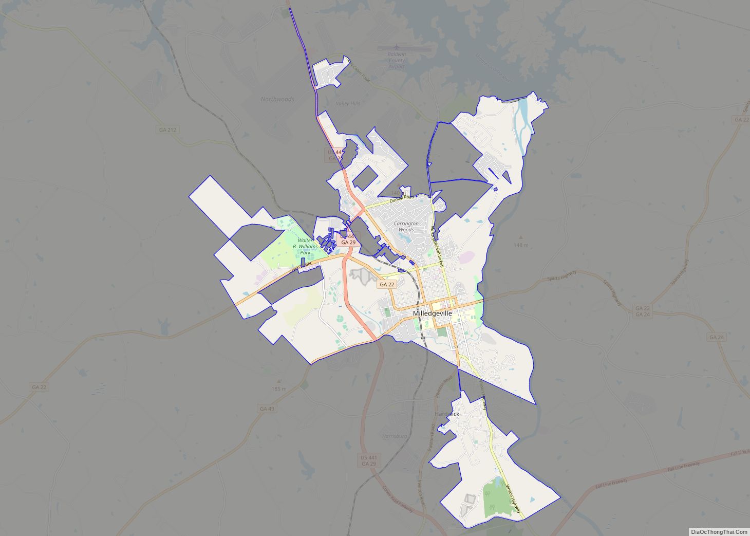
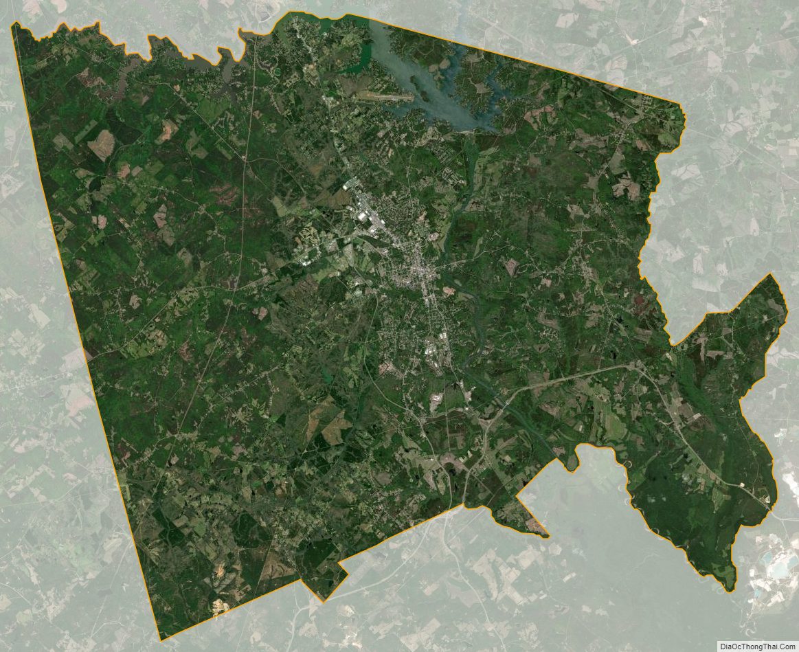
Baldwin County Satellite Map
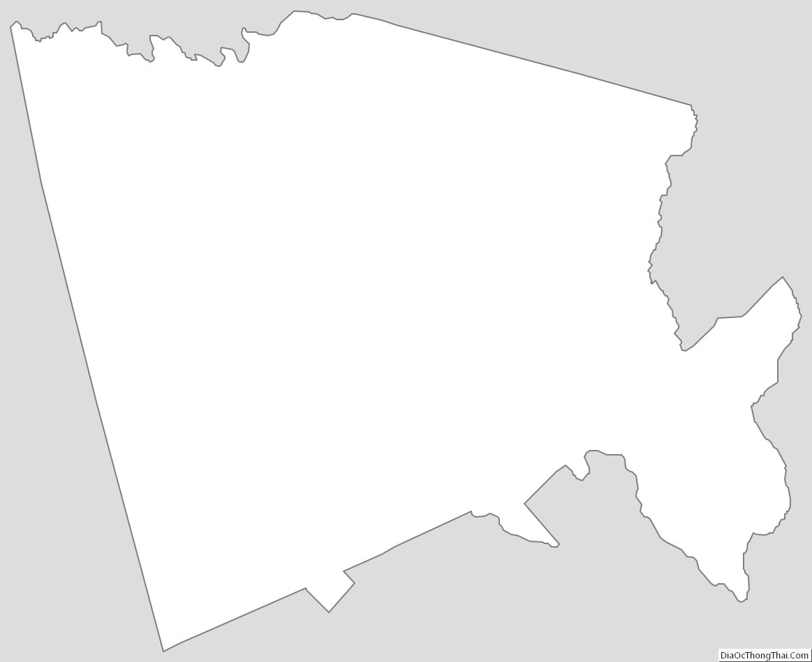
Baldwin County Outline Map