Baker County is a county in Georgia. As of the 2020 census, the population was 2,876. The county seat and only city is Newton. The county was created December 12, 1825 from the eastern portion of Early County by an act of the Georgia General Assembly and is named for Colonel John Baker, a hero of the American Revolutionary War.
Baker County is included in the Albany, GA Metropolitan Statistical Area.
The Baker County Courthouse (Georgia) is listed on the National Register of Historic Places. Three other properties in Newton are also listed on the register: Notchaway Baptist Church and Cemetery, Pine Bloom Plantation, and Tarver Plantation.
| Name: | Baker County |
|---|---|
| FIPS code: | 13-007 |
| State: | Georgia |
| Founded: | 1825 |
| Named for: | John Baker |
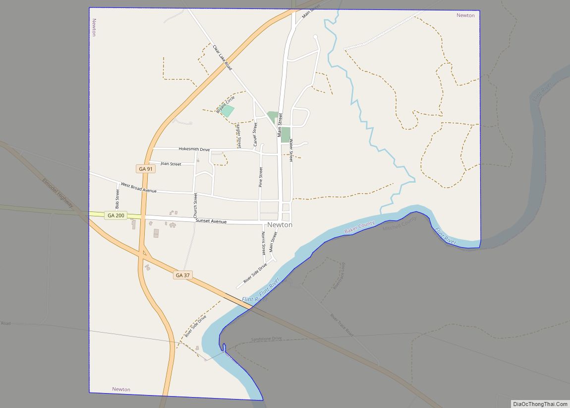
| Seat: | Newton |
| Largest city: | Newton |
| Total Area: | 349 sq mi (900 km²) |
| Land Area: | 342 sq mi (890 km²) |
| Total Population: | 2,876 |
| Population Density: | 8/sq mi (3/km²) |
| Time zone: | UTC−5 (Eastern) |
| Summer Time Zone (DST): | UTC−4 (EDT) |
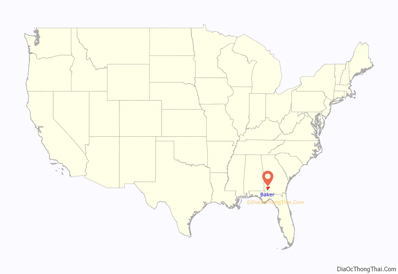
Baker County location map. Where is Baker County?
Baker County Road Map
Geography
According to the U.S. Census Bureau, the county has a total area of 349 square miles (900 km), of which 342 square miles (890 km) is land and 7.2 square miles (19 km) (2.1%) is water.
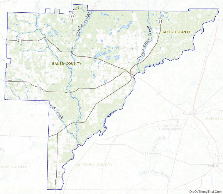
The eastern half of Baker County is located in the Lower Flint River sub-basin of the ACF River Basin (Apalachicola-Chattahoochee-Flint River Basin). The western half of the county is located in the Ichawaynochaway Creek sub-basin of the same ACF River Basin.
Major highways
- State Route 37
- State Route 91
- State Route 200
- State Route 216
- State Route 253
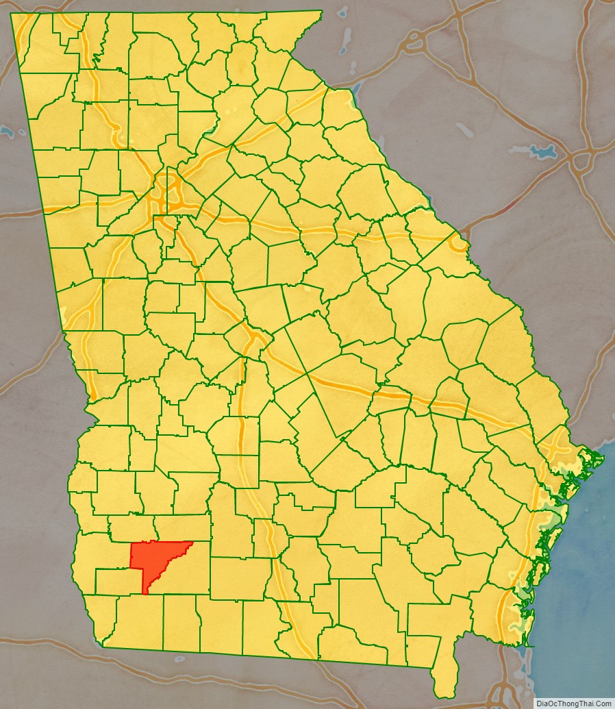
Adjacent counties
- Dougherty County, Georgia – northeast
- Mitchell County, Georgia – east
- Decatur County, Georgia – southwest
- Early County, Georgia – west
- Miller County, Georgia – west
- Calhoun County, Georgia – northwest
Baker County Topographic Map
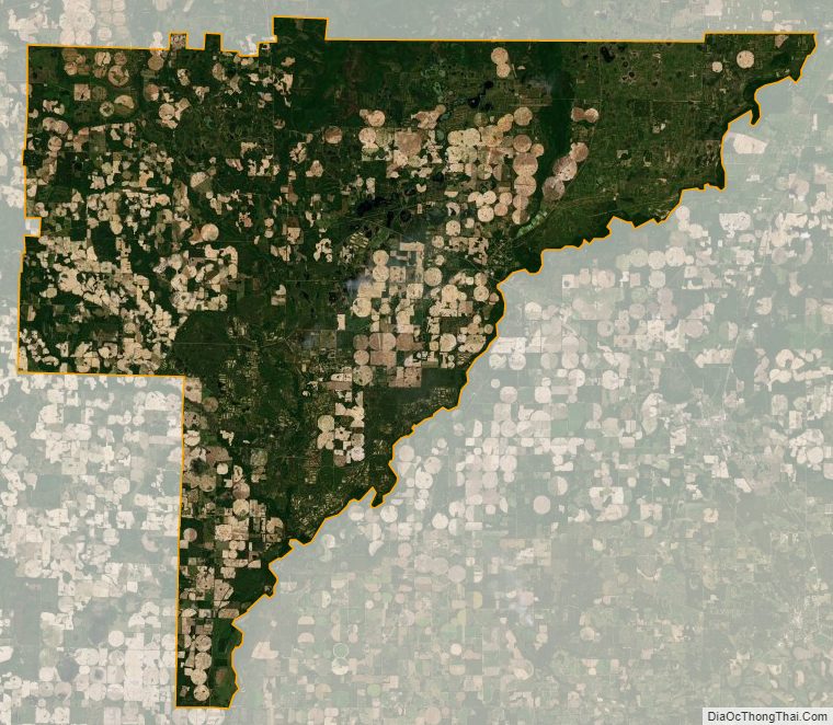
Baker County Satellite Map
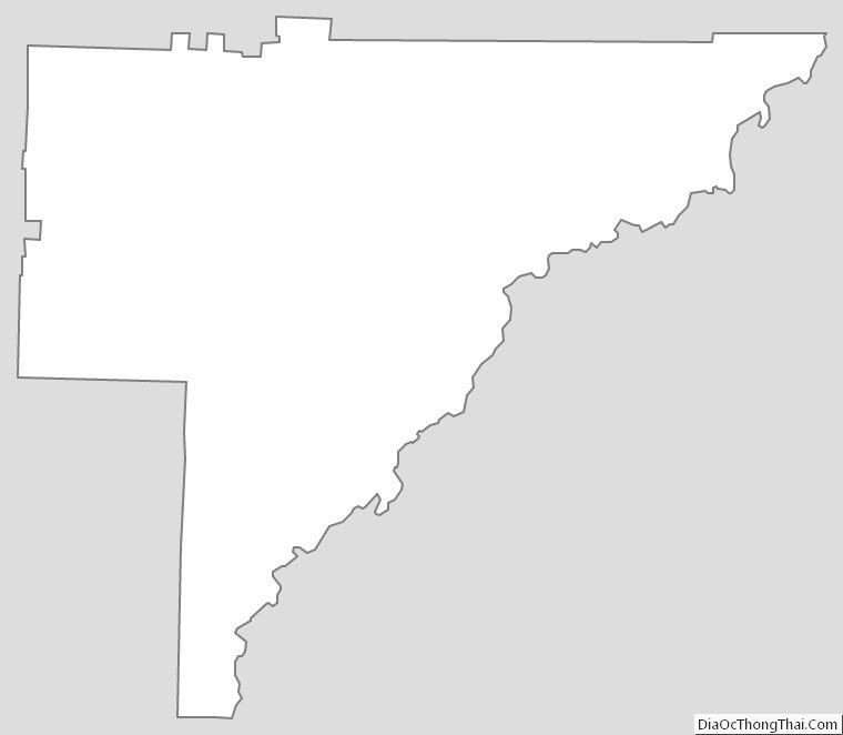
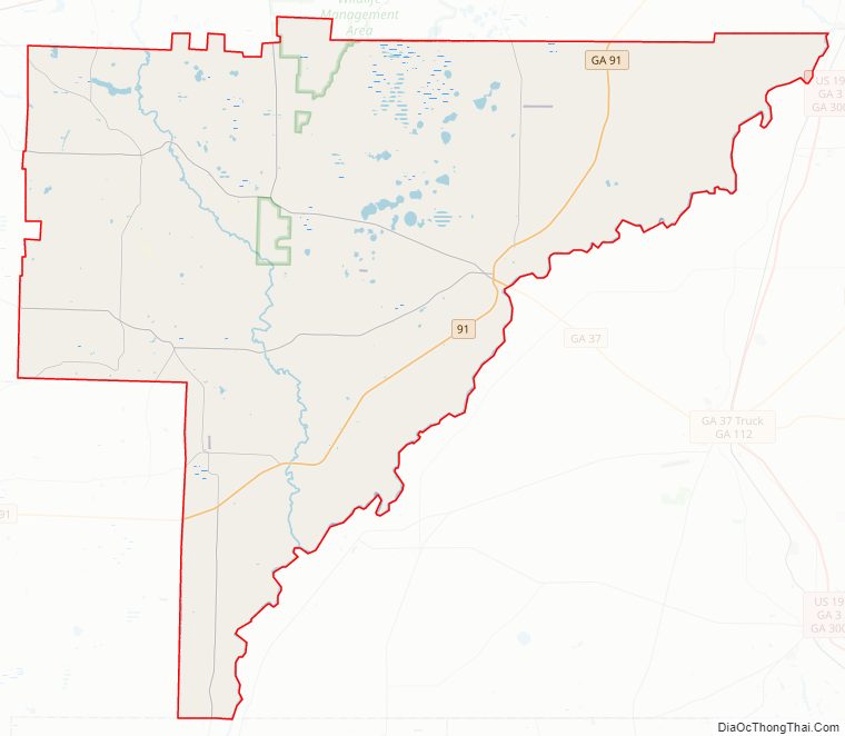
Baker County Outline Map