Laurens County is a county located in the central part of the U.S. state of Georgia. As of the 2020 census, the population was 49,570, up from 48,434 in 2010. The county seat is Dublin. The county was founded on December 10, 1807, and named after Lieutenant Colonel John Laurens, an American soldier and statesman from South Carolina during the American Revolutionary War.
Laurens County is part of the Dublin, Georgia Micropolitan Statistical Area.
| Name: | Laurens County |
|---|---|
| FIPS code: | 13-175 |
| State: | Georgia |
| Founded: | 1807 |
| Named for: | John Laurens |
| Seat: | Dublin |
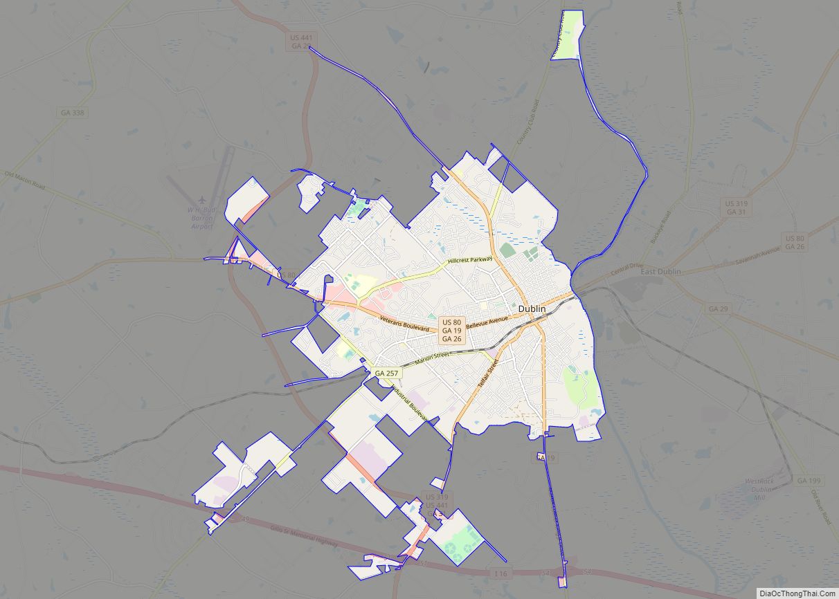
| Largest city: | Dublin |
| Total Area: | 818 sq mi (2,120 km²) |
| Land Area: | 807 sq mi (2,090 km²) |
| Total Population: | 49,570 |
| Population Density: | 60/sq mi (20/km²) |
| Time zone: | UTC−5 (Eastern) |
| Summer Time Zone (DST): | UTC−4 (EDT) |
| Website: | www.laurenscoga.org |
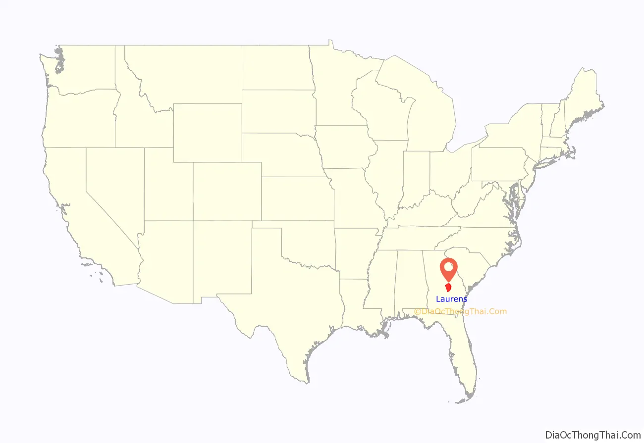
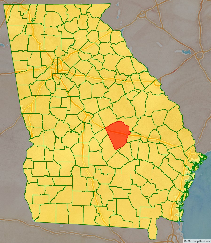
Laurens County location map. Where is Laurens County?
History
Laurens County was formed on December 10, 1807, from portions of Wilkinson and Washington Counties. During the Red Summer of 1919 there was increased racial tension in the area and in August there was the Laurens County, Georgia race riot of 1919.
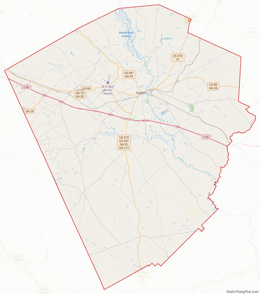
Laurens County Road Map
Geography
According to the U.S. Census Bureau, the county has a total area of 818 square miles (2,120 km), of which 807 square miles (2,090 km) is land and 11 square miles (28 km) (1.4%) is water. It is the third-largest county in Georgia by land area and fourth-largest by total area.
The majority of Laurens County is located in the Lower Oconee River sub-basin of the Altamaha River basin. The southwestern corner of the county, defined by a line that runs west from Chester through Rentz to U.S. Route 441, and then southeast toward Glenwood, is located in the Little Ocmulgee River sub-basin of the same Altamaha River basin. A small and narrow sliver of the eastern edge of the county, from east of Lovett to northeast of Rockledge, is located in the Ohoopee River sub-basin of the larger Altamaha River basin. The county has several swamps along with Oconee river including Cow Hell Swamp.
Major highways
- Interstate 16
- U.S. Route 80
- U.S. Route 319
- U.S. Route 441
U.S. Route 441 Bypass (around Dublin)- State Route 19
- State Route 26
- State Route 29
- State Route 31
- State Route 46
- State Route 86
- State Route 117
- State Route 126
- State Route 199
- State Route 257
- State Route 278
- State Route 338
- State Route 404 (unsigned designation for I-16)
Adjacent counties
- Johnson County – northeast
- Emanuel County – northeast
- Treutlen County – east
- Wheeler County – south
- Dodge County – southwest
- Bleckley County – west
- Wilkinson County – northwest
- Twiggs County – northwest
Laurens County Topographic Map
Laurens County Satellite Map
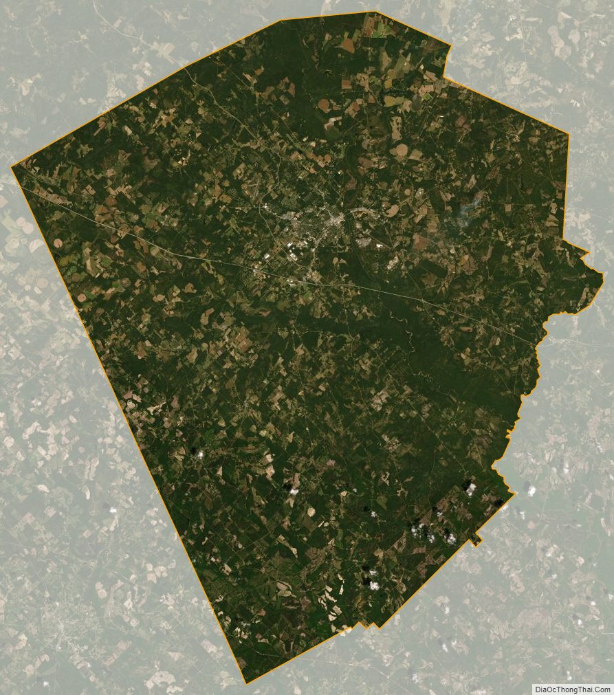
Laurens County Outline Map