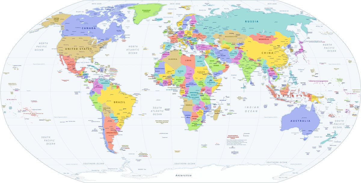
World Countries Maps
A, B, C, D, E, F, G, H, I, J, K, L, M, N, O, P, Q, R, S, T, U, V, W, Y, Z- Saint Kitts & Nevis
- Saint Lucia
- Samoa
- San Marino
- São Tomé & Príncipe
- Saudi Arabia
- Senegal
- Serbia
- Seychelles
- Sierra Leone
- Singapore
- Slovakia
- Slovenia
- Solomon Islands
- Somalia
- South Africa
- South Korea
- South Sudan
- Spain
- Sri Lanka
- Saint Vincent & the Grenadines
- Sudan
- Suriname
- Sweden
- Switzerland
- Syria
- Saint Helena
- Saint Barthélemy
- Saint Martin
- Saint Pierre and Miquelon
- Somaliland