Map of Columbus city, Ohio

Map of Columbus city, Ohio

Columbus city overview: Name: Columbus city LSAD Code: 25 LSAD Description: city (suffix) State: Ohio County: Delaware County, Fairfield County, Franklin County Incorporated: February 10, 1816 Elevation: 781 ft (238 m) Land Area: 220.40 sq mi (570.82 km²) Water Area: 5.86 sq mi (15.18 km²) Population Density: 4,109.64/sq mi (1,586.74/km²) FIPS code: 3918000 GNISfeature ID: 1080996 Website: www.columbus.gov Explore the city with this Columbus … Read more

Map of Cleveland city, Ohio

Map of Cleveland city, Ohio

Cleveland (/ˈkliːvlənd/ KLEEV-lənd), officially the City of Cleveland, is a city in the U.S. state of Ohio and the county seat of Cuyahoga County. Located in Northeast Ohio along the southern shore of Lake Erie, it is situated across the U.S. maritime border with Canada and lies approximately 60 miles (97 km) west of Pennsylvania. The … Read more

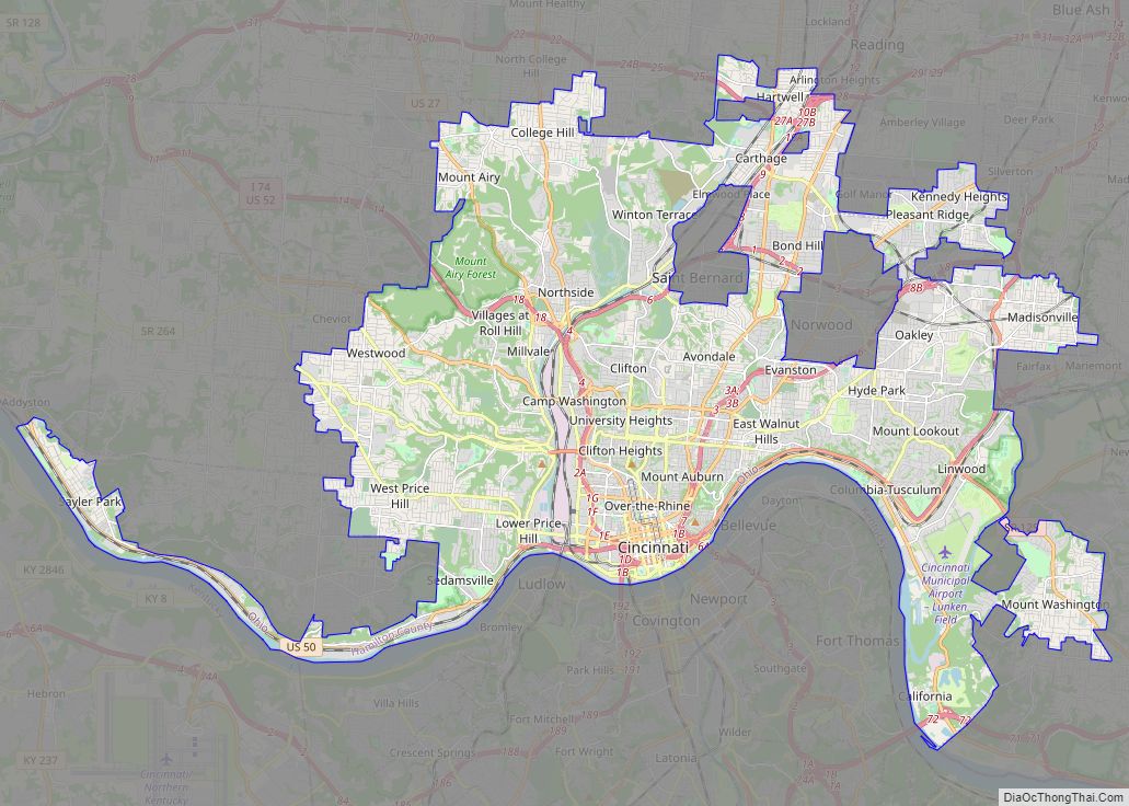
Map of Cincinnati city, Ohio

Map of Cincinnati city, Ohio

Cincinnati (/ˌsɪnsɪˈnæti/ SIN-si-NAT-ee) is a city in the U.S. state of Ohio and the county seat of Hamilton County. Settled in 1788, the city is located at the northern side of the confluence of the Licking and Ohio rivers, the latter of which marks the state line with Kentucky. The city is the economic and … Read more

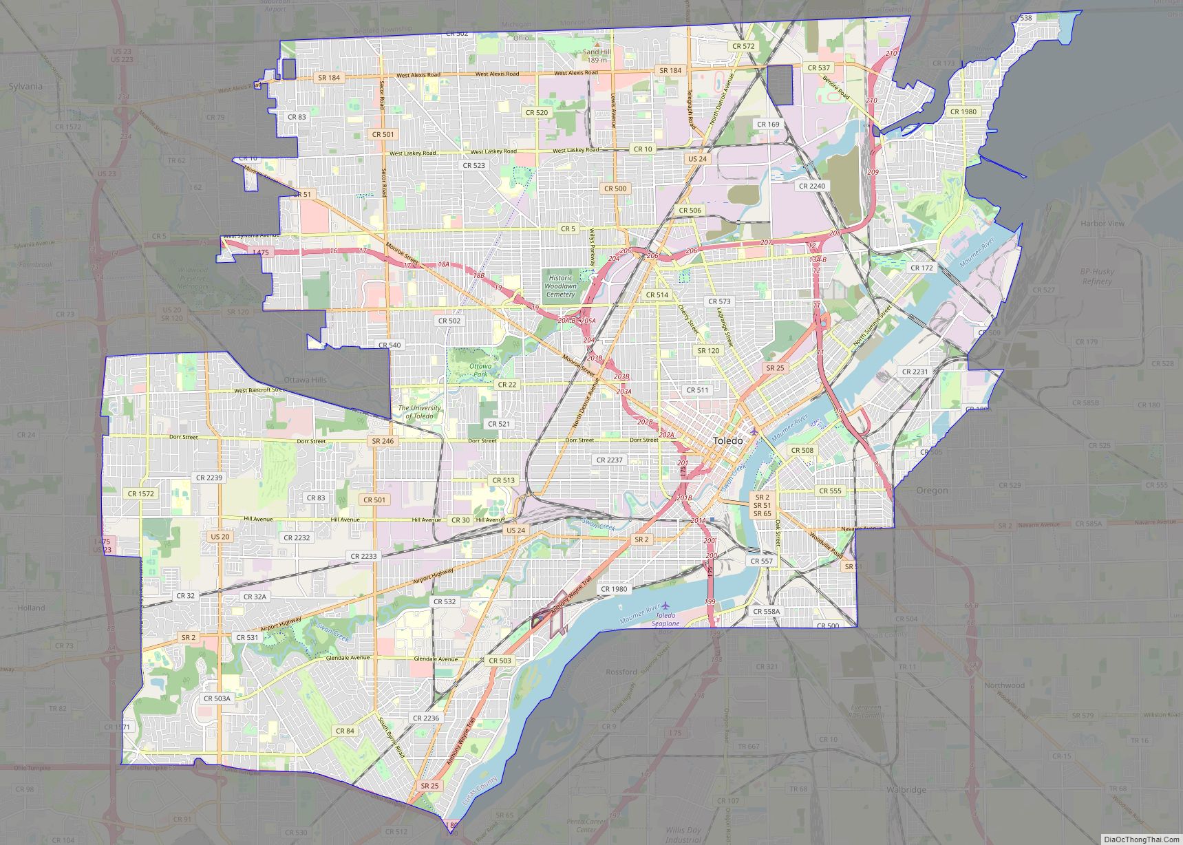
Map of Toledo city, Ohio

Map of Toledo city, Ohio

Toledo (/təˈliːdoʊ/ tə-LEE-doh) is a city in and the county seat of Lucas County, Ohio, United States. At the 2020 census, it had a population of 270,871, making Toledo the fourth-most populous city in the state of Ohio, after Columbus, Cleveland, and Cincinnati. Toledo is also the 79th-largest city in the United States. It is … Read more

Map of Akron city, Ohio

Map of Akron city, Ohio

Akron (/ˈækrən/) is the fifth-largest city in the U.S. state of Ohio and is the county seat of Summit County. It is located on the western edge of the Glaciated Allegheny Plateau, about 40 miles (64 km) south of downtown Cleveland. At the 2020 census, the city proper had a total population of 190,469, making it … Read more

Map of Dayton city, Ohio

Map of Dayton city, Ohio

Dayton (/ˈdeɪʔən/ (listen)) is the sixth-largest city in the U.S. state of Ohio and the county seat of Montgomery County. A small part of the city extends into Greene County. The 2020 U.S. census estimate put the city population at 137,644, while Greater Dayton was estimated to be at 814,049 residents. The Combined Statistical Area … Read more

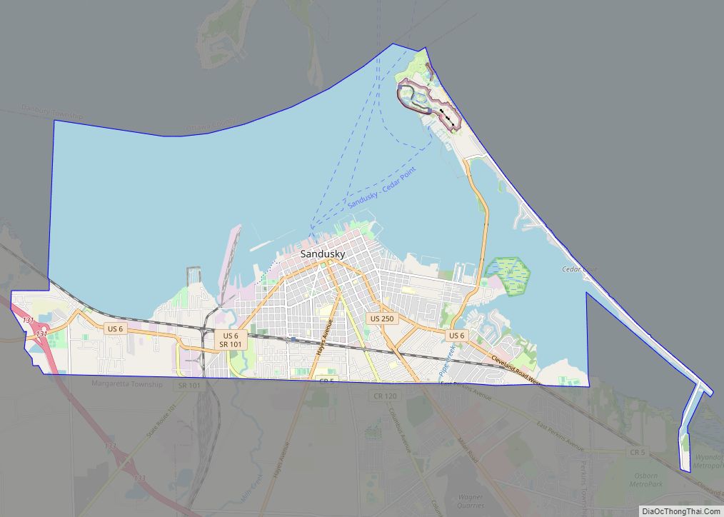
Map of Sandusky city, Ohio

Map of Sandusky city, Ohio

Sandusky (/sænˈdʌski/ san-DUSS-kee) is a city in and the county seat of Erie County, Ohio, United States. Situated along the shores of Lake Erie in the northern part of the state, Sandusky is located roughly midway between Toledo (45 miles (72 km) west) and Cleveland (50 miles (80 km) east). According to 2020 census, the city had … Read more

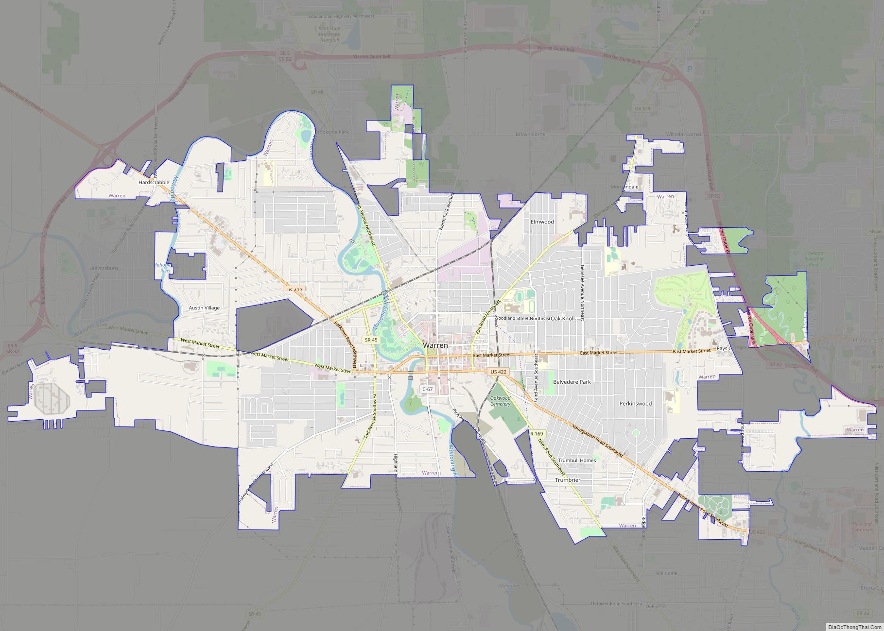
Map of Warren city, Ohio

Map of Warren city, Ohio

Warren is a city in and the county seat of Trumbull County, Ohio, United States. Located along the Mahoning River, Warren lies approximately 14 miles (23 km) northwest of Youngstown and 56 miles (90 km) southeast of Cleveland. The population was 39,201 at the 2020 census. The historical county seat of the Connecticut Western Reserve, it is … Read more

Map of Springfield city, Ohio

Map of Springfield city, Ohio

Springfield is a city in the U.S. state of Ohio and the county seat of Clark County. The municipality is located in southwestern Ohio and is situated on the Mad River, Buck Creek, and Beaver Creek, approximately 45 miles (72 km) west of Columbus and 25 miles (40 km) northeast of Dayton. Springfield is home to Wittenberg … Read more

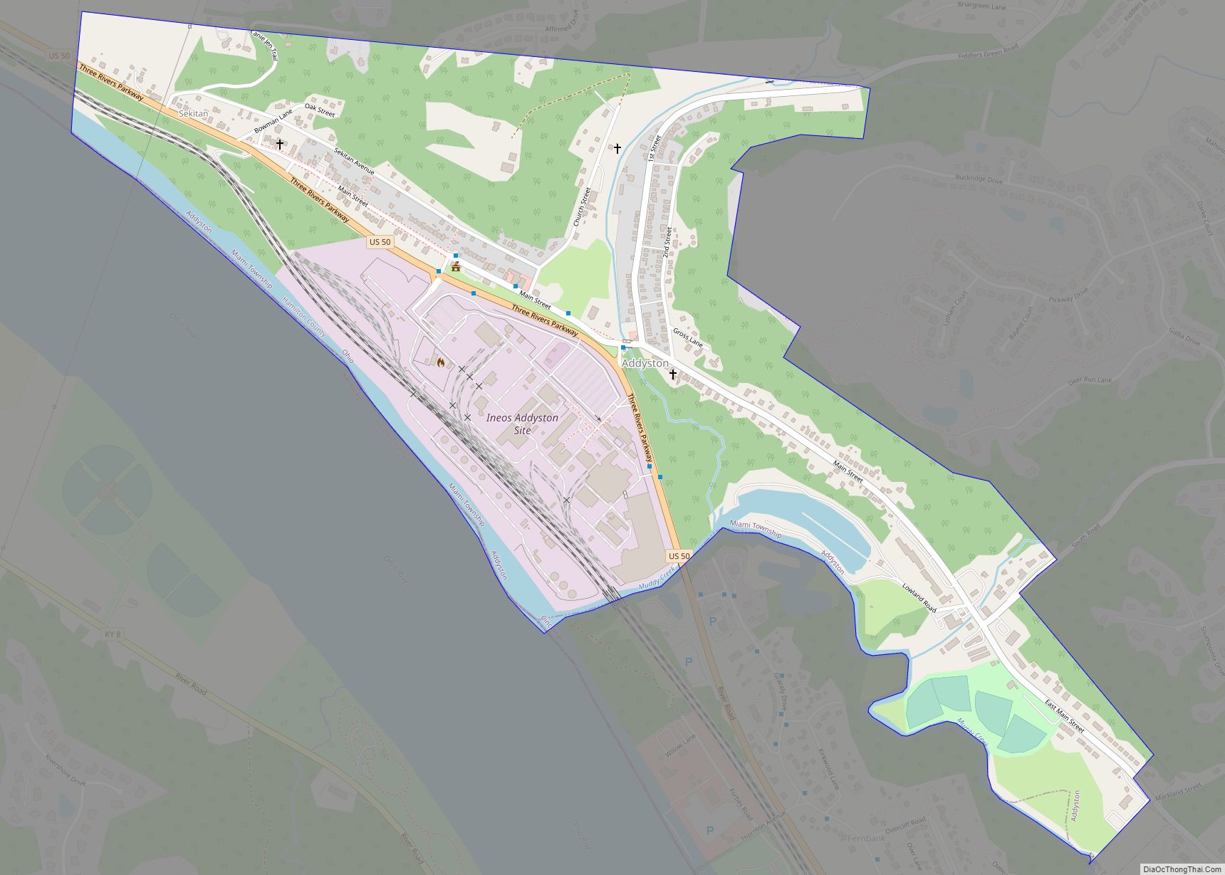
Map of Addyston village

Map of Addyston village

Addyston is a village in Miami Township, Hamilton County, Ohio, United States, along the Ohio River. The population was 927 at the 2020 census. The village was named after Matthew Addy, the proprietor of a local factory. Addyston village overview: Name: Addyston village LSAD Code: 47 LSAD Description: village (suffix) State: Ohio County: Hamilton County … Read more

Map of Adamsville village, Ohio

Map of Adamsville village, Ohio

Adamsville is a village in Muskingum County, Ohio, United States. The population was 140 at the 2020 census. It is part of the Zanesville micropolitan area. Adamsville village overview: Name: Adamsville village LSAD Code: 47 LSAD Description: village (suffix) State: Ohio County: Muskingum County Elevation: 1,020 ft (310 m) Total Area: 0.05 sq mi (0.14 km²) Land Area: 0.05 sq mi (0.14 km²) … Read more

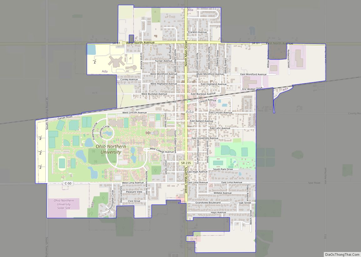
Map of Ada village, Ohio

Map of Ada village, Ohio

Ada /ˈeɪdə/; AY-də; is a village in Hardin County, Ohio, United States, located about 69 miles (111 km) southwest of Toledo. The population was 5,952 at the 2010 census. Ada village overview: Name: Ada village LSAD Code: 47 LSAD Description: village (suffix) State: Ohio County: Hardin County Elevation: 958 ft (292 m) Total Area: 2.13 sq mi (5.53 km²) Land Area: … Read more