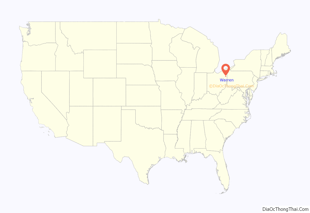
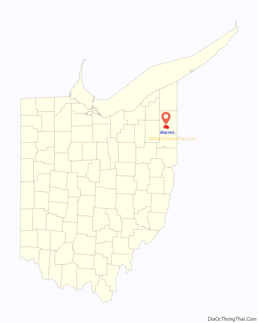
Warren is a city in and the county seat of Trumbull County, Ohio, United States. Located along the Mahoning River, Warren lies approximately 14 miles (23 km) northwest of Youngstown and 56 miles (90 km) southeast of Cleveland. The population was 39,201 at the 2020 census. The historical county seat of the Connecticut Western Reserve, it is the third largest municipality in the Youngstown–Warren metropolitan area after Youngstown and Boardman, and anchors the northern part of that area.
| Name: | Warren city |
|---|---|
| LSAD Code: | 25 |
| LSAD Description: | city (suffix) |
| State: | Ohio |
| County: | Trumbull County |
| Founded: | 1798 |
| Elevation: | 892 ft (272 m) |
| Land Area: | 15.96 sq mi (41.33 km²) |
| Water Area: | 0.16 sq mi (0.42 km²) |
| Population Density: | 2,456.82/sq mi (948.57/km²) |
| ZIP code: | 44481-44488 |
| Area code: | 330, 234 |
| FIPS code: | 3980892 |
| GNISfeature ID: | 1084083 |
| Website: | https://www.warren.org/ |
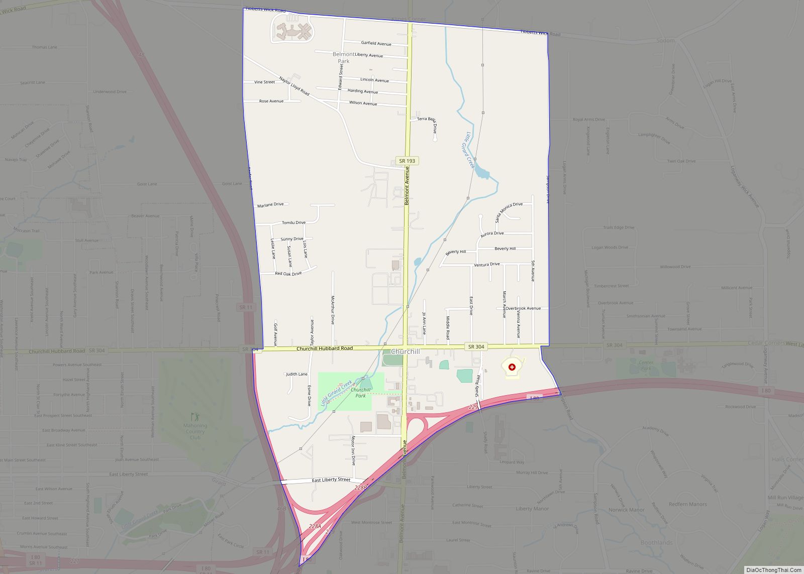
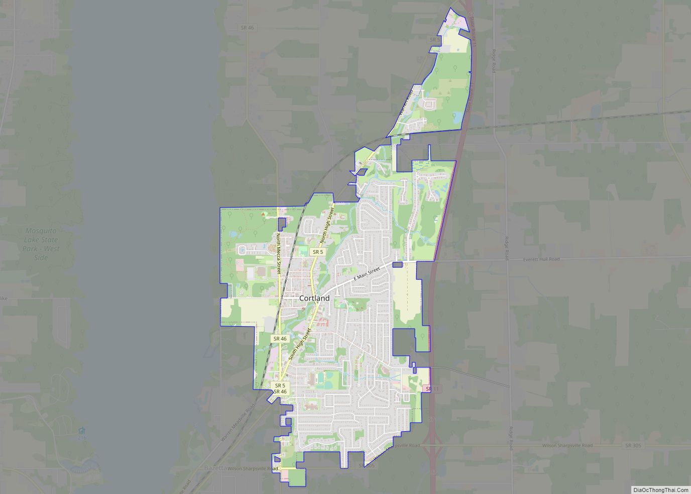
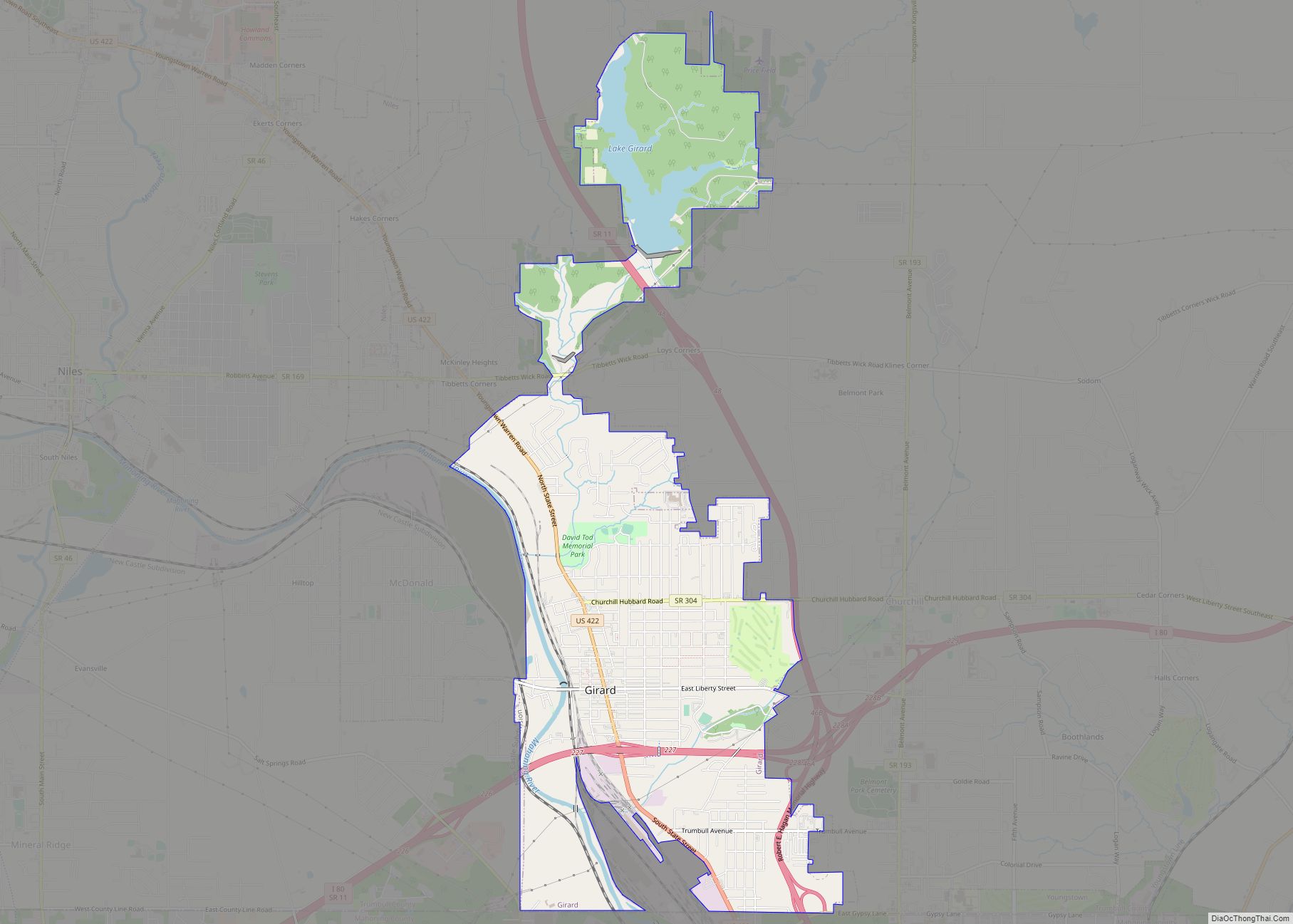
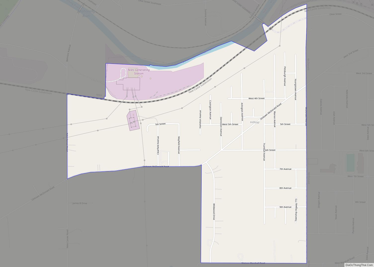
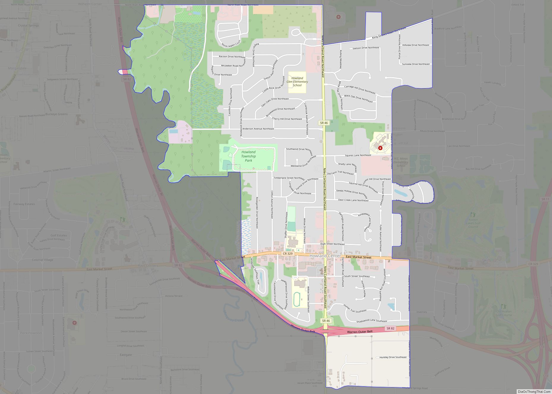
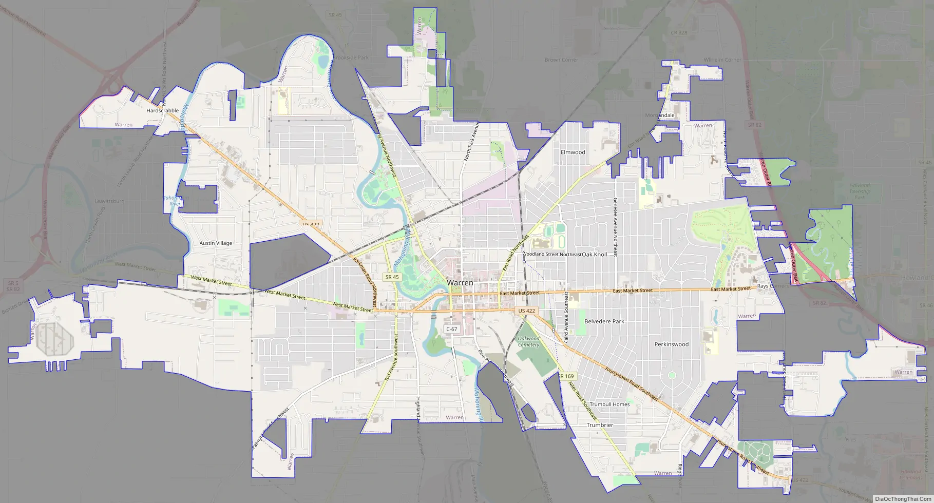
Online Interactive Map
Click on ![]() to view map in "full screen" mode.
to view map in "full screen" mode.
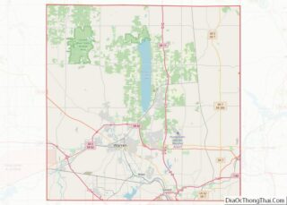
Warren location map. Where is Warren city?
History
Ephraim Quinby founded Warren in 1798, on 441 acres (1.78 km) of land that he purchased from the Connecticut Land Company, as part of the Connecticut Western Reserve. Quinby named the town for the town’s surveyor, Moses Warren. The town was the county seat of the Western Reserve, then became the Trumbull County seat in 1801. In 1833, Warren contained county buildings, two printing offices, a bank, five mercantile stores, and about 600 inhabitants.
Warren had a population of nearly 1,600 people in 1846. In that same year, the town had five churches, twenty stores, three newspaper offices, one bank, one wool factory and two flourmills. In June 1846, a fire destroyed several buildings on one side of the town square, but residents soon replaced them with new stores and other businesses. Warren became an important center of trade for farmers living in the surrounding countryside during this period. Songwriter Stephen Foster, his wife Jane McDowell, and their daughter Marion lived briefly in Warren.
During the latter decades of the nineteenth century and throughout the twentieth century, Warren remained an important trading and manufacturing center. By 1888, four railroads connected the community with other parts of Ohio. In that same year, there were five newspaper offices, seven churches, three banks and numerous manufacturing firms in Warren. The businesses manufactured a wide variety of products including linseed oil, furniture, barrel staves, wool fabric, blinds, incandescent bulbs, automobiles and carriages; however, the leading companies were the Packard Electric Company and Packard Motor Car Company, both founded in the 1890s in Warren by brothers James Ward Packard and William Doud Packard. Warren was the first town in the U.S. to have an electric street illumination, provided by Packard Electric. Warren’s population was 5,973 people in 1890. Construction began on the Trumbull County Courthouse in downtown Warren on Thanksgiving Day, 1895.
Warren continued to grow in the twentieth century. During the late nineteenth and early twentieth centuries, steel production was a major industry in the county because of large deposits of coal and iron ore in surrounding counties. In recent years, many Warren residents have worked in local service and retail sales businesses. In 2000, Warren was Trumbull County’s most populated community, with 46,832 residents. Many examples of late 19th and early 20th century architectural styles still stand in downtown Warren, including the Trumbull County Courthouse, which contains one of the largest courtrooms in the state of Ohio, and the Trumbull County Carnegie Law Library; in addition to office buildings, banks, stores, and homes surrounding the Courthouse Square area.
John Ashbery mentions Warren in his poem ‘Pyrography’, first published in an exhibition catalogue in 1976 and included in his 1977 collection Houseboat Days. In a later interview, Ashbery said he had never visited the town.
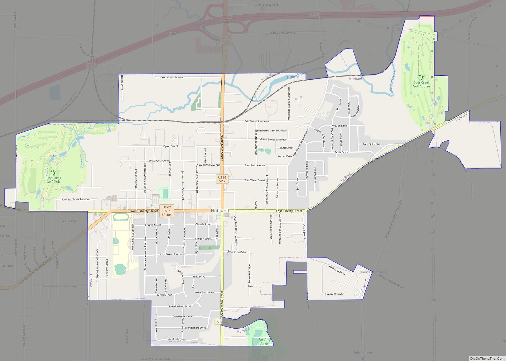
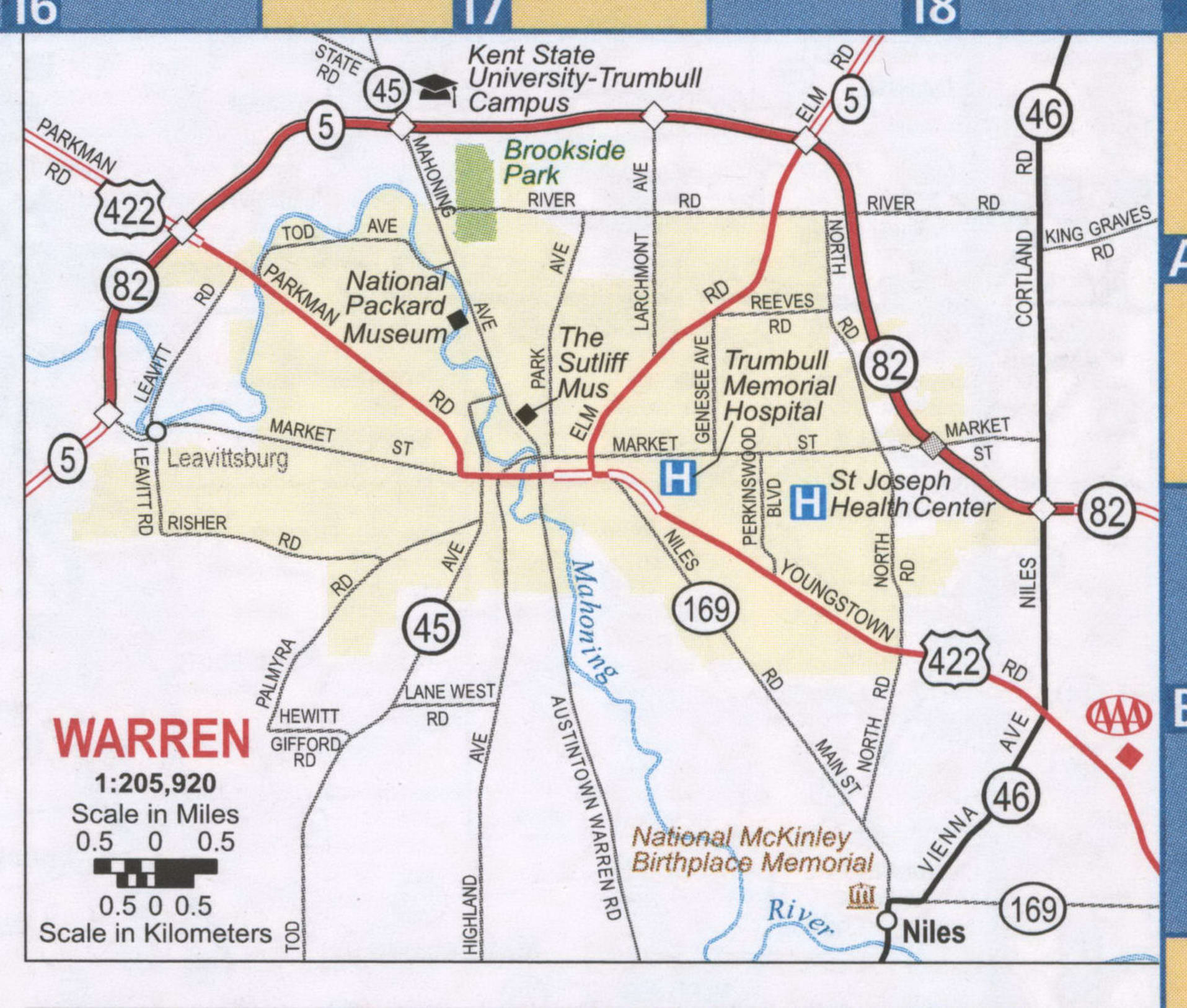
Warren Road Map
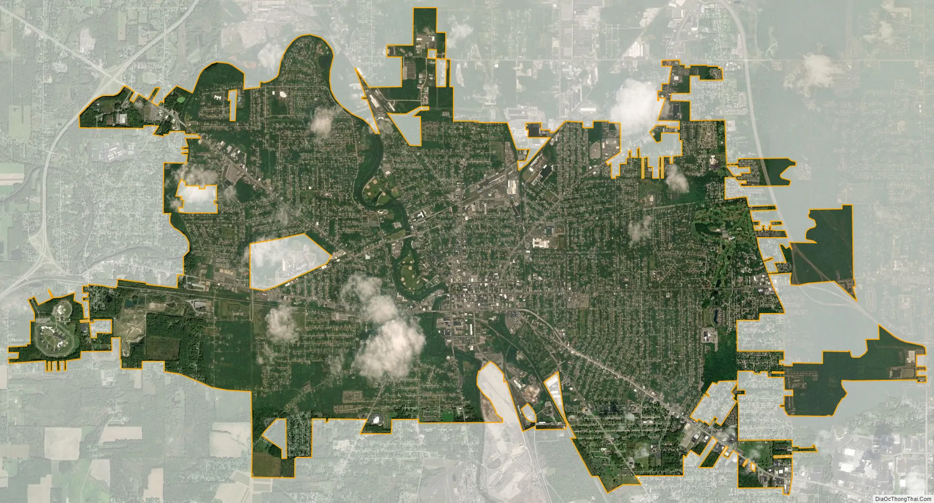
Warren city Satellite Map
Geography
Warren is located at 41°14′18″N 80°48′52″W / 41.23833°N 80.81444°W / 41.23833; -80.81444 (41.238206, −80.814554).
According to the United States Census Bureau, the city has a total area of 16.16 square miles (41.85 km), of which 16.13 square miles (41.78 km) is land and 0.03 square miles (0.08 km) is water.
See also
Map of Ohio State and its subdivision:- Adams
- Allen
- Ashland
- Ashtabula
- Athens
- Auglaize
- Belmont
- Brown
- Butler
- Carroll
- Champaign
- Clark
- Clermont
- Clinton
- Columbiana
- Coshocton
- Crawford
- Cuyahoga
- Darke
- Defiance
- Delaware
- Erie
- Fairfield
- Fayette
- Franklin
- Fulton
- Gallia
- Geauga
- Greene
- Guernsey
- Hamilton
- Hancock
- Hardin
- Harrison
- Henry
- Highland
- Hocking
- Holmes
- Huron
- Jackson
- Jefferson
- Knox
- Lake
- Lake Erie
- Lawrence
- Licking
- Logan
- Lorain
- Lucas
- Madison
- Mahoning
- Marion
- Medina
- Meigs
- Mercer
- Miami
- Monroe
- Montgomery
- Morgan
- Morrow
- Muskingum
- Noble
- Ottawa
- Paulding
- Perry
- Pickaway
- Pike
- Portage
- Preble
- Putnam
- Richland
- Ross
- Sandusky
- Scioto
- Seneca
- Shelby
- Stark
- Summit
- Trumbull
- Tuscarawas
- Union
- Van Wert
- Vinton
- Warren
- Washington
- Wayne
- Williams
- Wood
- Wyandot
- Alabama
- Alaska
- Arizona
- Arkansas
- California
- Colorado
- Connecticut
- Delaware
- District of Columbia
- Florida
- Georgia
- Hawaii
- Idaho
- Illinois
- Indiana
- Iowa
- Kansas
- Kentucky
- Louisiana
- Maine
- Maryland
- Massachusetts
- Michigan
- Minnesota
- Mississippi
- Missouri
- Montana
- Nebraska
- Nevada
- New Hampshire
- New Jersey
- New Mexico
- New York
- North Carolina
- North Dakota
- Ohio
- Oklahoma
- Oregon
- Pennsylvania
- Rhode Island
- South Carolina
- South Dakota
- Tennessee
- Texas
- Utah
- Vermont
- Virginia
- Washington
- West Virginia
- Wisconsin
- Wyoming